Old Maps of Wakeman Township, Ohio for Academic Research
Study the evolution of Wakeman Township with 31 high-resolution historic maps. Whether you're teaching, researching, or modeling changes in land use, these maps provide essential visual documentation of urban, environmental, and geographic change.
- Analyze long-term change: Track patterns in development, transportation, and natural features.
- Ideal for environmental or urban studies: Support academic projects with primary historical map data.
- Use in the classroom or lab: Educators and researchers rely on these maps to bring historical context to life.
These maps are a powerful tool for teaching, research, and visualizing how Wakeman Township has changed over the decades.
Wakeman Township, OH maps
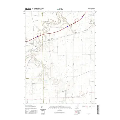
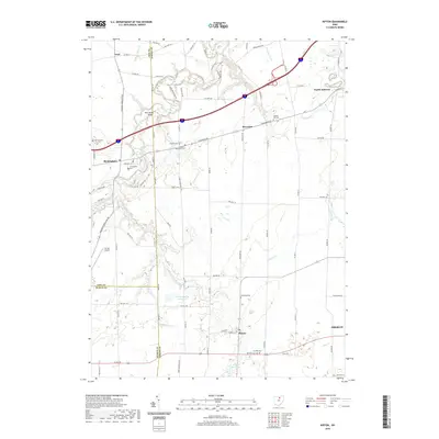
(31)- 1903 Map of Vermilion, 1932 Print
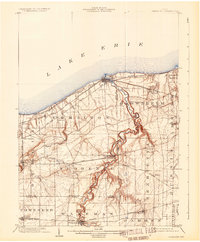 1903 Vermilion1932 Print · USGSThe Lake Erie shoreline in the early twentieth century served as a vital transit hub where rail lines and electric cars converged on the coast. Genealogists and local historians can trace the early layouts of Vermilion, Wakeman, and Birmingham, or locate the specific placement of the Quarry and numerous creek-side homesteads.2 unique versions available
 - 1908 Map of New London, 1948 Print
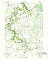
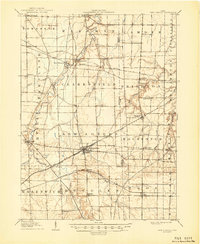 1908 New London1948 Print · USGSNorth-central Ohio at the turn of the century was a landscape of thriving rail junctions and rural school districts. Genealogists can trace family roots through numerous local landmarks like Barlams Store, Todd School, and the busy junction at New London.
 - 1956 Map of Toledo, 1968 Print
 1956 Toledo1968 Print · USGSNorthwest Ohio and the Lake Erie shoreline are shown in detail during the late fifties, showcasing a landscape of heavy industry, railroads, and island communities. Genealogists and historians can trace rail networks like the Chesapeake & Ohio RR or locate landmarks such as the Erie Proving Ground and Kelleys Island.4 unique versions available
 - 1959 Map of Berlin Heights, 1960 Print
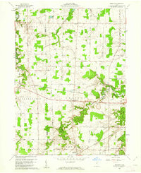
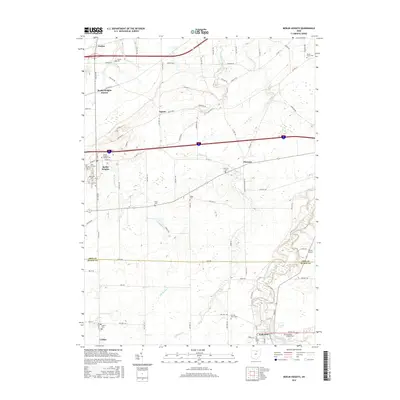
 1959 Berlin Heights1960 Print · USGSNorth-central Ohio is captured in the late fifties, showing the interplay between the new Ohio Turnpike and historic farm-to-market rail lines. Local historians can trace family roots through numerous burial sites like Maple Grove Cem and Poyers Cem or locate old schoolhouse sites like Townsend Sch.2 unique versions available
 - 1959 Map of Kipton, 1961 Print
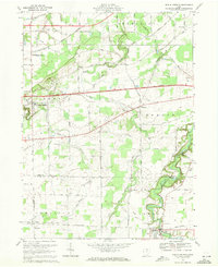
 1959 Kipton1961 Print · USGSLorain County in the late fifties shows a landscape of traditional farming and growing industry, from the quarrying district of South Amherst to the quiet village of Kipton. Genealogists and researchers can trace local landmarks like Henrietta Cem, the Nickel Plate Road, and the path of the Vermilion River.
 - 1960 Map of Brighton, 1961 Print
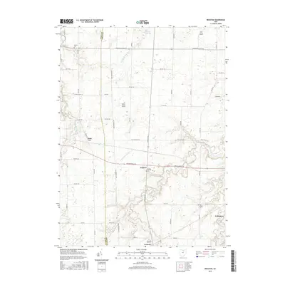
 1960 Brighton1961 Print · USGSLorain County farming and rail transport are captured here at the start of the 1960s. Researchers can trace historic family-named routes and rail lines through rural settlements like Brighton, Rochester, and the small crossroads of White Fox.3 unique versions available
 - 1960 Map of Clarksfield, 1962 Print
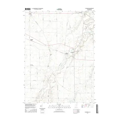
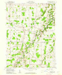 1960 Clarksfield1962 Print · USGSHuron County's rural townships are captured here in the early sixties, showing a landscape shaped by the Connecticut Western Reserve's unique land divisions. Genealogists and historians can trace the Vermilion River to find Barretts Chapel, Hartland Station, and numerous family burial sites like Phillips Cem.2 unique versions available
 - 1961 Map of Toledo
 1961 Toledo1961 Print · USGSThe western basin of Lake Erie and the industrial heart of Northern Ohio are captured here during the post-war era. Researchers can trace historical rail lines like the New York Central or locate landmarks like the Erie Ordnance Depot and Pelee Island.
 - 1969 Map of Kipton, 1971 Print
 1969 Kipton1971 Print · USGSNorthern Ohio townships like Russia and Henrietta are shown in the late sixties as agricultural life met the age of the superhighway. Genealogists can locate family sites such as Harrison Cem or Henrietta Cem and trace the winding Vermilion River.2 unique versions available
 - 1969 Map of Berlin Heights, 1971 Print
 1969 Berlin Heights1971 Print · USGSThe Firelands region of northern Ohio is captured here in the late sixties as agricultural roots met the burgeoning interstate era. Researchers can trace local lineage through Peakes Cem, follow the rail lines at Berlin Heights Station, or locate the Townsend Sch.3 unique versions available
 - 1986 Map of Lorain
 1986 Lorain1986 Print · USGSThe Lake Erie shoreline and North Central Ohio interior are shown in detail during the mid-eighties, from the industrial docks of Lorain to the peninsulas of Sandusky. Researchers can trace historic transport routes like the Baltimore and Ohio Railroad or locate significant landmarks like Oberlin College and Cedar Point.2 unique versions available
 - 2010 Map of Clarksfield, 2010 Print
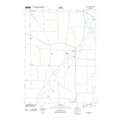 2010 Clarksfield2010 Print · USGSCovers Wakeman Township, including Clarksfield, Hartland, and other nearby areas
 - 2010 Map of Kipton, 2010 Print
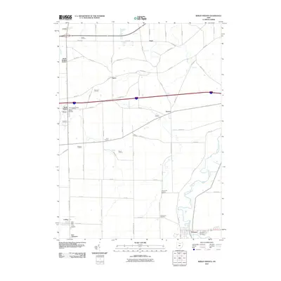
 2010 Kipton2010 Print · USGSCovers Wakeman Township, including Oberlin, South Amherst, and other nearby areas
 - 2010 Map of Brighton, 2010 Print
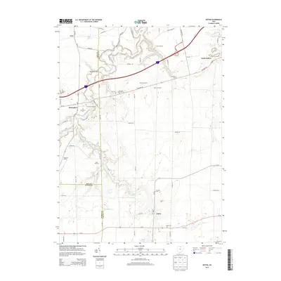
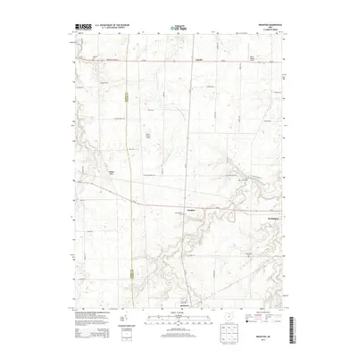
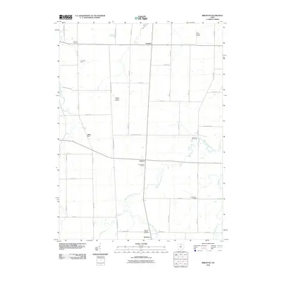 2010 Brighton2010 Print · USGSCovers Wakeman Township, including Wellington, Rochester, and other nearby areas
 - 2010 Map of Berlin Heights, 2010 Print
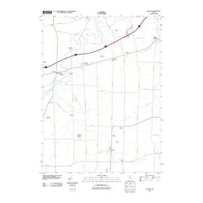
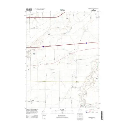
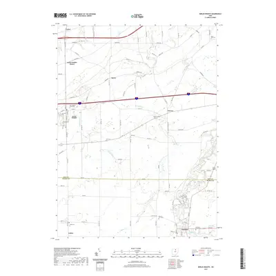
 2010 Berlin Heights2010 Print · USGSCovers Wakeman Township, including Florence, Wakeman, and other nearby areas
 - 2013 Map of Kipton, 2013 Print
 2013 Kipton2013 Print · USGSCovers Wakeman Township, including Oberlin, South Amherst, and other nearby areas
 - 2013 Map of Clarksfield, 2013 Print
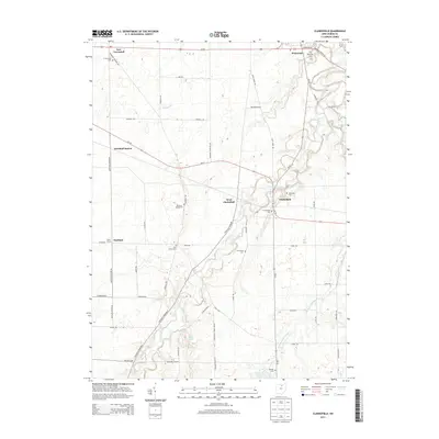 2013 Clarksfield2013 Print · USGSCovers Wakeman Township, including Clarksfield, Hartland, and other nearby areas
 - 2013 Map of Berlin Heights, 2013 Print
 2013 Berlin Heights2013 Print · USGSCovers Wakeman Township, including Florence, Wakeman, and other nearby areas
 - 2013 Map of Brighton, 2013 Print
 2013 Brighton2013 Print · USGSCovers Wakeman Township, including Wellington, Rochester, and other nearby areas
 - 2016 Map of Kipton, 2016 Print
 2016 Kipton2016 Print · USGSCovers Wakeman Township, including Oberlin, South Amherst, and other nearby areas
 - 2016 Map of Berlin Heights, 2016 Print
 2016 Berlin Heights2016 Print · USGSCovers Wakeman Township, including Florence, Wakeman, and other nearby areas
 - 2016 Map of Clarksfield, 2016 Print
 2016 Clarksfield2016 Print · USGSCovers Wakeman Township, including Clarksfield, Hartland, and other nearby areas
 - 2016 Map of Brighton, 2016 Print
 2016 Brighton2016 Print · USGSCovers Wakeman Township, including Wellington, Rochester, and other nearby areas
 - 2019 Map of Kipton, 2019 Print
 2019 Kipton2019 Print · USGSCovers Wakeman Township, including Oberlin, South Amherst, and other nearby areas
 - 2019 Map of Berlin Heights, 2019 Print
 2019 Berlin Heights2019 Print · USGSCovers Wakeman Township, including Florence, Wakeman, and other nearby areas
Showing maps 1-25 of 31
Top cities near Wakeman Township
- Lorain historical maps
- Elyria historical maps
- Norwalk historical maps
- Amherst historical maps
- Vermilion historical maps
- Oberlin historical maps
See more
Top neighborhoods of Wakeman Township
Frequently asked questions
- What are the different types of historical maps available for Wakeman Township?
- What is the oldest map of Wakeman Township?
- Where can I purchase historical maps of Wakeman Township for my home or office?
- Where can I download high-res historical maps of Wakeman Township?
- Are there historical topographic maps available for Wakeman Township?
- Is there historical aerial imagery available for Wakeman Township?
- Where are historical maps of Wakeman Township sourced from?