Old Maps of Coalton, Ohio for Metal Detecting
Plan your next treasure hunt with 13 historic maps of Coalton. Find old homesites, ghost towns, trails, and gathering spots that may be lost to time — perfect for identifying promising metal detecting locations.
- Locate forgotten sites: Uncover places like long-lost settlements, abandoned rail lines, or gathering spots.
- Plan better hunts: Use map overlays combined with LiDAR or satellite views to narrow in on historically rich areas.
- Made for detectorists: Thousands of hobbyists use these maps to discover relics, coins, and hidden history.
Use these historic maps to boost your research and find new opportunities beneath the surface of Coalton.
Coalton, OH maps
(13)- 1913 Map of Jackson, 1934 Print
 1913 Jackson1934 Print · USGSThe coal and iron heart of southern Ohio comes into focus during the early twentieth century, showing the dense rail networks of the Wellston and Jackson districts. Genealogists can trace family roots through numerous rural landmarks like the Jackson Furnace, School No 10, and Ridgewood Cemetery.2 unique versions available
 - 1944 Map of Jackson
 1944 Jackson1944 Print · USGSSouthern Ohio's industrial and rural heartland is detailed here during the mid-forties, centered on the coal and iron hubs of Jackson and Wellston. Genealogists can trace family roots through dozens of local landmarks like Ridgewood Cemetery and schools such as Oakland Sch.
 - 1947 Map of Columbus, 1948 Print
 1947 Columbus1948 Print · USGSCentral Ohio in the late 1940s is captured in this survey, showing the post-war transition of its rail hubs and military airfield expansions. Genealogists and historians can trace the paths of the Ohio Canal, the Pennsylvania RR lines, and the Camp Sherman Military Reservation.
 - 1961 Map of Columbus
 1961 Columbus1961 Print · USGSCentral and Southern Ohio are captured here in the early sixties, as the region's industrial rail hubs and military bases reached their peak. Genealogists and historians can trace the transition from urban Columbus to rural townships along the Scioto River, locating Lockbourne USAF and old junctions like Washington Court House.
 - 1961 Map of Wellston, 1963 Print
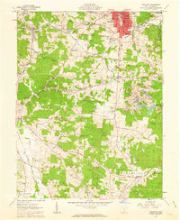 1961 Wellston1963 Print · USGSJackson County's coal-mining era is on full display in the early 1960s, showing a landscape defined by industry and rail. Genealogists can trace family sites from Coalton to Wellston, including Sullivan Cem, Woodson Cem, and the SS Peter & Paul Sch.5 unique versions available
 - 1962 Map of Columbus
 1962 Columbus1962 Print · USGSCentral Ohio during the early sixties reveals a transition from the industrial corridors of Columbus to the forested ridges of the south. Genealogists and historians can trace the rail networks of the Baltimore & Ohio RR and find local landmarks like Washington Court House and Camp Sherman Military Reservation.
 - 1967 Map of Columbus, 1969 Print
 1967 Columbus1969 Print · USGSCentral Ohio during the late sixties serves as a vital corridor of rail and aviation, from the industrial streets of Springfield to the hangar lines of Lockbourne Air Force Base. Genealogists and researchers can trace the growth of towns like Circleville and London or locate rural landmarks such as St Paul church and the London Correctional Institution.2 unique versions available
 - 1980 Map of Wellston, 1982 Print
 1980 Wellston1982 Print · USGSThe hill country of south-central Ohio in the early eighties shows a landscape of expansive state forests and deep-rooted river towns. Genealogists and historians can trace rural heritage through sites like Buckeye Furnace State Memorial and Mount Zion Cemetery.
 - 2010 Map of Wellston, 2010 Print
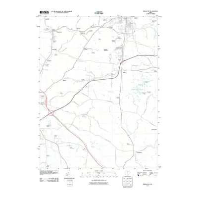 2010 Wellston2010 Print · USGSJackson County's coal and rail country is captured here during the first decade of the 2000s, centered on the city of Wellston. Trace family history through numerous burial grounds like Glen Roy Cemetery or locate landmarks such as the Jackson County Fairground.
 - 2013 Map of Wellston, 2013 Print
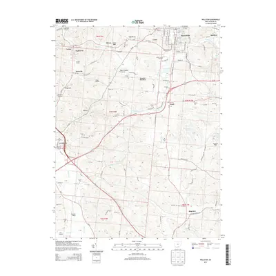 2013 Wellston2013 Print · USGSSouthern Ohio at the turn of the decade reveals a landscape defined by the legacies of mining and rail. Local researchers can trace numerous small settlements and burial sites like Coalton, the Jackson County Fairground, and the Ridgewood Cemetery.
 - 2016 Map of Wellston, 2016 Print
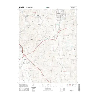 2016 Wellston2016 Print · USGSJackson and Wellston appear in the mid-2010s, showing a landscape shaped by historical rail junctions and small coal-era settlements. Genealogists can trace dozens of family-named burial grounds like Sullivan Cem, Ryan Cem, and Hale Cem.
 - 2019 Map of Wellston, 2019 Print
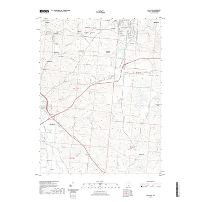 2019 Wellston2019 Print · USGSJackson County at the end of the 2010s reveals a landscape defined by its industrial heritage and rural settlements. Genealogists can trace family names through numerous burial sites like Sullivan Cem and Woodson Cem or explore the clustered villages of Coalton, Glen Roy, and Tom Corwin.
 - 2023 Map of Wellston, 2023 Print
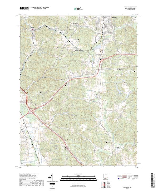 2023 Wellston2023 Print · USGSThe industrial and rural landscapes of Jackson County come into focus in this contemporary survey of the Wellston and Jackson area. Local historians can trace dozens of family cemeteries and old settlements like Coalton, Glen Roy, and Tom Corwin.
End of results
Showing maps 1-13 of 13
Top cities near Coalton
- Jackson historical maps
- Wellston historical maps
- McArthur historical maps
- Richland historical maps
- Oak Hill historical maps
- Hamden historical maps
See more
Top neighborhoods of Coalton
Frequently asked questions
- What are the different types of historical maps available for Coalton?
- What is the oldest map of Coalton?
- Where can I purchase historical maps of Coalton for my home or office?
- Where can I download high-res historical maps of Coalton?
- Are there historical topographic maps available for Coalton?
- Is there historical aerial imagery available for Coalton?
- Where are historical maps of Coalton sourced from?