Old Maps of Aid Township, Ohio for Metal Detecting
Plan your next treasure hunt with 37 historic maps of Aid Township. Find old homesites, ghost towns, trails, and gathering spots that may be lost to time — perfect for identifying promising metal detecting locations.
- Locate forgotten sites: Uncover places like long-lost settlements, abandoned rail lines, or gathering spots.
- Plan better hunts: Use map overlays combined with LiDAR or satellite views to narrow in on historically rich areas.
- Made for detectorists: Thousands of hobbyists use these maps to discover relics, coins, and hidden history.
Use these historic maps to boost your research and find new opportunities beneath the surface of Aid Township.
Aid Township, OH maps
(37)- 1898 Map of Ironton, 1955 Print
 1898 Ironton1955 Print · USGSSouthern Ohio's iron-producing region and the bustling riverfront at Ironton are documented here just before the turn of the century. Genealogists can trace family footprints near Vesuvius Furnace, Woodland Cemetery, and old post offices like Culbertson P.O.
 - 1900 Map of Ironton, 1918 Print
 1900 Ironton1918 Print · USGSThe Ohio River valley and the iron-rich hills of Lawrence County are seen here at the turn of the century during a peak in industrial activity. Genealogists and historians can trace defunct post offices like Orr P.O. and explore the rail corridors of the Ironton R.R. and Cincinnati Hamilton & Dayton R.R.2 unique versions available
 - 1906 Map of Athalia, 1956 Print
 1906 Athalia1956 Print · USGSLawrence and Gallia counties in the early 1900s are captured here as a landscape of river ferries and ridge-top farm communities. You can trace early post offices at Willowwood, follow the Baltimore and Ohio RR, or locate old river crossings like the Crown City Ferry.
 - 1908 Map of Athalia
 1908 Athalia1908 Print · USGSThe Ohio River borderlands in the early twentieth century were a network of ferry crossings and small river towns. Genealogists can trace family names and farmsteads near Athalia, Crown City, and the Baltimore and Ohio RR corridor.3 unique versions available
 - 1957 Map of Huntington, 1966 Print
 1957 Huntington1966 Print · USGSThe industrial heart of the Ohio River valley is captured here in the mid-sixties, showing the growth of Huntington and Ashland. Researchers can trace the extensive rail networks of the Chesapeake and Ohio RR and locate sites like the Chief Cornstalk Hunting Ground.3 unique versions available
 - 1960 Map of Huntington
 1960 Huntington1960 Print · USGSThe tri-state river valley thrived in the late fifties as a hub of heavy industry and Appalachian rail transit. Genealogists and historians can trace the connection between river towns like Ashland and Portsmouth or locate family homesteads near Coleman Ridge.
 - 1961 Map of Kitts Hill, 1963 Print
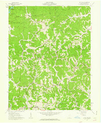 1961 Kitts Hill1963 Print · USGSThe ridges of southern Ohio appear as a network of small family farmsteads and forest lands in the early sixties. Genealogists can trace deep roots through dozens of family burial grounds and country churches like Oakland Chapel and Bazell Cem near Rock Camp.
 - 1961 Map of Aid, 1963 Print
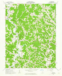 1961 Aid1963 Print · USGSLawrence County, Ohio, was a land of timbered ridges and coal mining during the early sixties. Genealogists can trace family roots through numerous remote burial sites like Gallicat Cem or visit the Covered Bridge near Scottown.
 - 1961 Map of Sherritts, 1963 Print
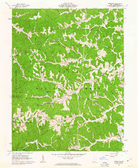 1961 Sherritts1963 Print · USGSLawrence County was a center of Appalachian forestry and mining in the early sixties. Researchers can trace family history through dozens of landmarks like Slab Fork Ch Cem, Macedonia Ch, and the high fire-watch at Kimble Lookout Tower.3 unique versions available
 - 1961 Map of Waterloo, 1963 Print
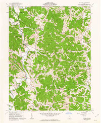 1961 Waterloo1963 Print · USGSSouthern Ohio's ridge-and-hollow country is captured here in the early sixties as small communities and extractive industries defined the local landscape. Researchers can trace family history through sites like Saunders Cem and Mt Zion Ch or locate industrial markers like the Tipple and Strip Mine sites.4 unique versions available
 - 1972 Map of Kitts Hill, 1973 Print
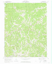 1972 Kitts Hill1973 Print · USGSLawrence County, Ohio, during the early seventies is shown here as a landscape of national forest and creek-side settlements. Genealogists can trace family names through landmarks like Brummer Cem, Rock Camp, and the Oakland Chapel.3 unique versions available
 - 1972 Map of Aid, 1973 Print
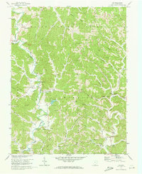 1972 Aid1973 Print · USGSLawrence County in the early seventies shows a landscape of deep hollows and high ridges where timber and coal industry meet rural tradition. Genealogists can locate family landmarks like Murnahan Cem, the old Covered Bridge near Scottown, and remote church sites like Pomaria Ch.4 unique versions available
 - 1981 Map of Ironton, 1982 Print
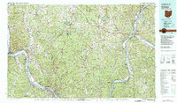 1981 Ironton1982 Print · USGSThe tri-state river valley at the start of the eighties shows a landscape shaped by heavy industry, atomic energy, and sprawling national forests. Researchers can trace the legacy of iron production at Harrison Furnace or follow the historic rail lines of the C & O RR and N & W RR.
 - 2002 Map of Kitts Hill, 2006 Print
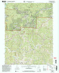 2002 Kitts Hill2006 Print · USGSLawrence County, Ohio, at the start of the 2000s, shows a landscape of deep timbered hollows and ridge-top communities within the Wayne National Forest. Genealogists can trace family names through dozens of rural sites like Hackworth Cem, Oakland Chapel, and Rock Hill Sch.
 - 2002 Map of Waterloo, 2006 Print
 2002 Waterloo2006 Print · USGSThe rugged ridges of Lawrence and Gallia counties are seen here in the early 2000s within the Wayne National Forest. Genealogists can trace family names through Waterloo Cem and find early community hubs like Flag Spring Ch and Arabia.
 - 2002 Map of Aid, 2006 Print
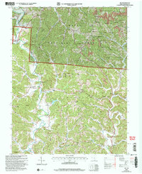 2002 Aid2006 Print · USGSLawrence County at the start of the 21st century reveals a landscape where Wayne National Forest wilderness meets a long history of ridge-top farming and coal mining. Researchers can trace family sites near Aid Cem and Linnville, or locate early educational landmarks like Township Sch No 2 and the Symmes Valley High Sch.
 - 2002 Map of Sherritts, 2006 Print
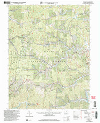 2002 Sherritts2006 Print · USGSLawrence County at the start of the new millennium shows a landscape deeply shaped by public forests and mineral work. Trace family sites across Asbury Ridge and Zoar Ridge, or locate old landmarks like the Indian Mound and Slab Fork Ch Cem.
 - 2011 Map of Sherritts, 2011 Print
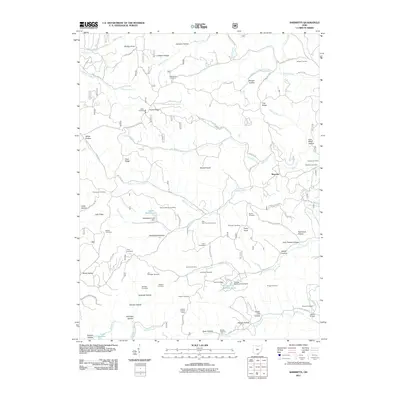 2011 Sherritts2011 Print · USGSLawrence County, Ohio, is documented here in the early twenty-first century as a landscape of family-named hollows and ridge-top settlements. Researchers can locate numerous ancestral sites including the Joe Delawder Cemetery, Slab Fork Church, and Nelson Bridge.
 - 2011 Map of Aid, 2011 Print
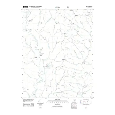 2011 Aid2011 Print · USGSSouthern Ohio's ridge country is documented here during the early twenty-first century, showing a landscape defined by its deep hollows and creek valleys. Genealogists can locate numerous local burial sites like Murnaham Cemetery and trace the rural centers at Willow Wood and Scottown.
 - 2011 Map of Waterloo, 2011 Print
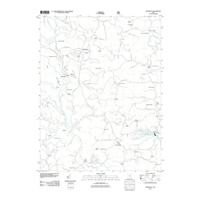 2011 Waterloo2011 Print · USGSLawrence County, Ohio, remains a landscape of high ridges and winding hollows in this 2011 survey. Researchers can trace family history through dozens of rural burial sites like Waterloo Cemetery and Mount Zion Cemetery, or locate old post offices and hubs like Waterloo and Lecta.
 - 2011 Map of Kitts Hill, 2011 Print
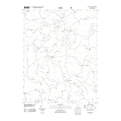 2011 Kitts Hill2011 Print · USGSIn the hills of Lawrence County during the early twenty-first century, rural life follows the winding hollows and ridge-lines east of the Ohio River. Researchers can trace ancestral sites at Mamre Cemetery, locate the Rock Camp Post Office, and map the small settlements of Five Forks and Deering.
 - 2013 Map of Kitts Hill, 2013 Print
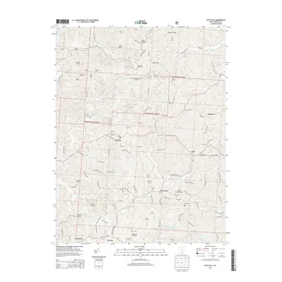 2013 Kitts Hill2013 Print · USGSLawrence County's upland communities and forest lands are captured here in the early twenty-first century. Genealogists and local historians can trace family roots through numerous burial sites like Mamre Cem, Hackworth Cem, and Blair Cem.
 - 2013 Map of Waterloo, 2013 Print
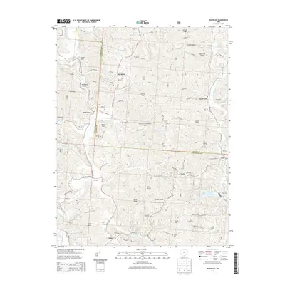 2013 Waterloo2013 Print · USGSLawrence and Gallia counties meet in this modern survey of the wooded ridges and hollows of southern Ohio. Researchers can locate numerous family burial grounds like Brumfield Cem and Okey Cem alongside rural settlements at Arabia and Greasy Ridge.
 - 2013 Map of Sherritts, 2013 Print
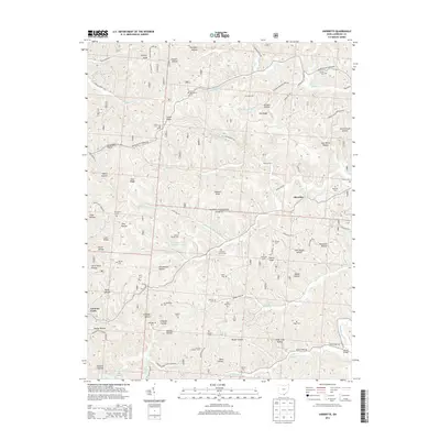 2013 Sherritts2013 Print · USGSSymmes Township and the surrounding hills of Lawrence County are shown here in the early twenty-first century as part of the Wayne National Forest. Genealogists will find an incredible density of small family burial grounds, including Macedonia Cem, Joe Delawder Cem, and Stewart Werner Cem.
 - 2013 Map of Aid, 2013 Print
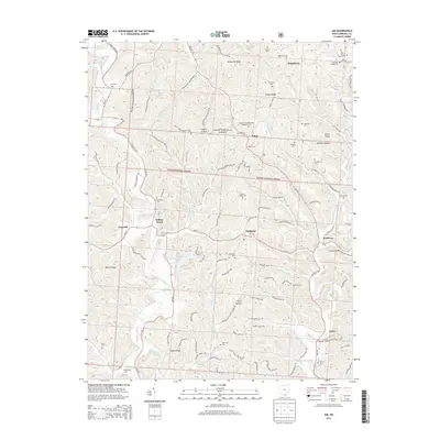 2013 Aid2013 Print · USGSLawrence County's upland ridges and forest clearings are documented here in the early twenty-first century. Researchers can trace rural cemeteries and crossroads settlements like Willow Wood, Dobbston, and the Locust Grove Methodist Episcopal Cem.
Showing maps 1-25 of 37
Top cities near Aid Township
- Huntington historical maps
- Ashland historical maps
- Ironton historical maps
- Rome historical maps
- Flatwoods historical maps
- South Point historical maps
See more
Top neighborhoods of Aid Township
Frequently asked questions
- What are the different types of historical maps available for Aid Township?
- What is the oldest map of Aid Township?
- Where can I purchase historical maps of Aid Township for my home or office?
- Where can I download high-res historical maps of Aid Township?
- Are there historical topographic maps available for Aid Township?
- Is there historical aerial imagery available for Aid Township?
- Where are historical maps of Aid Township sourced from?