2000s (21st Century) Maps of Pedro, Elizabeth Township
Explore 6 historic maps of Pedro from the 2000s (21st Century). These maps offer a rare glimpse into what life looked like during the 2000s — showing old roads, neighborhoods, homes, and landmarks that have changed or disappeared over time.
Whether you're researching your family's past, planning a metal detecting trip, or studying how Pedro's landscape evolved across the 2000s, these high-resolution maps are a powerful tool for exploring the history of this region.
- Focus on a specific era: All maps on this page are from the 2000s, giving you a focused view of this time period.
- See what’s changed: Compare century-old streets, trails, and buildings to today's modern landscape using overlays and satellite layers.
- Research with precision: Use these maps for genealogy, historical research, land use analysis, or educational projects.
- View, download, or print: Maps are fully viewable online in high resolution, and can be downloaded or printed for your own records.
Start exploring Pedro's history through authentic maps from the 2000s. This is your window into the past.
Pedro, Elizabeth Township maps
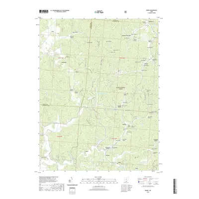
(6)- 2002 Map of Pedro, 2006 Print
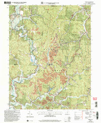 2002 Pedro2006 Print · USGSLawrence County at the turn of the millennium shows a landscape shaped by natural resource extraction within the Wayne National Forest. Genealogists and historians can trace the foundations of local industry and community life through sites like the clay pits at Superior, the Pedro Sch, and Lawco Lake.
 - 2011 Map of Pedro, 2011 Print
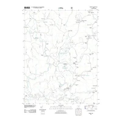 2011 Pedro2011 Print · USGSCovers Pedro, including Lawrence, Bondclay, and other nearby areas
 - 2013 Map of Pedro, 2013 Print
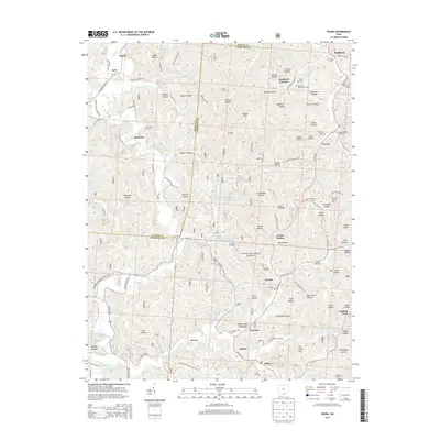 2013 Pedro2013 Print · USGSCovers Pedro, including Lawrence, Bondclay, and other nearby areas
 - 2016 Map of Pedro, 2016 Print
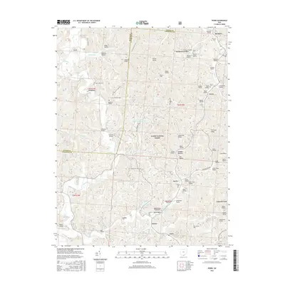 2016 Pedro2016 Print · USGSCovers Pedro, including Lawrence, Bondclay, and other nearby areas
 - 2019 Map of Pedro, 2019 Print
 2019 Pedro2019 Print · USGSCovers Pedro, including Lawrence, Bondclay, and other nearby areas
 - 2023 Map of Pedro, 2023 Print
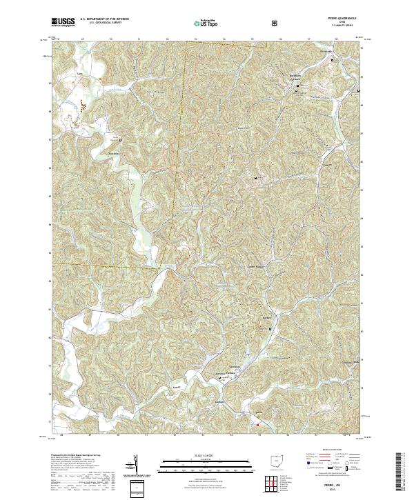 2023 Pedro2023 Print · USGSIron furnaces and forest settlements define this corner of southern Ohio during the modern era. Genealogists and historians can locate legacy sites like Buckhorn Furnace and Lawrence Furnace alongside family markers at Puckett Cem.
End of results
Showing maps 1-6 of 6
Top cities near Pedro
- Huntington historical maps
- Ashland historical maps
- Portsmouth historical maps
- Ironton historical maps
- Flatwoods historical maps
- South Point historical maps
See more
Frequently asked questions
- What are the different types of historical maps available for Pedro?
- What is the oldest map of Pedro?
- Where can I purchase historical maps of Pedro for my home or office?
- Where can I download high-res historical maps of Pedro?
- Are there historical topographic maps available for Pedro?
- Is there historical aerial imagery available for Pedro?
- Where are historical maps of Pedro sourced from?