2010s Maps of Fayette Township, Ohio
Explore 16 historic maps of Fayette Township from the 2010s. These maps offer a rare glimpse into what life looked like during the 2010s — showing old roads, neighborhoods, homes, and landmarks that have changed or disappeared over time.
Whether you're researching your family's past, planning a metal detecting trip, or studying how Fayette Township's landscape evolved across the 2010s, these high-resolution maps are a powerful tool for exploring the history of this region.
- Focus on a specific era: All maps on this page are from the 2010s, giving you a focused view of this time period.
- See what’s changed: Compare century-old streets, trails, and buildings to today's modern landscape using overlays and satellite layers.
- Research with precision: Use these maps for genealogy, historical research, land use analysis, or educational projects.
- View, download, or print: Maps are fully viewable online in high resolution, and can be downloaded or printed for your own records.
Start exploring Fayette Township's history through authentic maps from the 2010s. This is your window into the past.
Fayette Township, OH maps
(16)- 2011 Map of Catlettsburg, 2011 Print
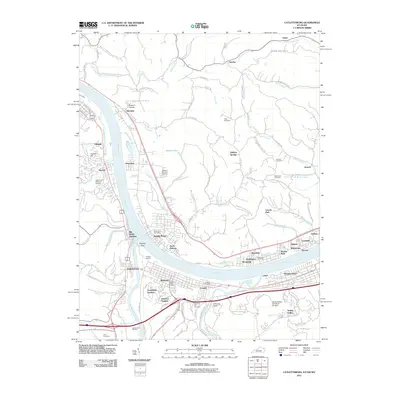 2011 Catlettsburg2011 Print · USGSThe tri-state confluence of Kentucky, Ohio, and West Virginia comes alive in this survey of the river-and-rail economy. Researchers can trace ancestral sites like Green Lawn Cemetery or study the industrial footprint of the Ashland Oil Refinery and Big Sandy Junction.
 - 2011 Map of Huntington, 2011 Print
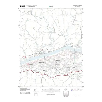 2011 Huntington2011 Print · USGSHuntington and the Ohio River valley appear in high detail during the early twenty-first century, documenting a major educational and industrial hub. Researchers can trace the layout of Marshall University, find family names at Spring Hill Cemetery, or locate the Lawrence County Airpark across the water.
 - 2011 Map of Aid, 2011 Print
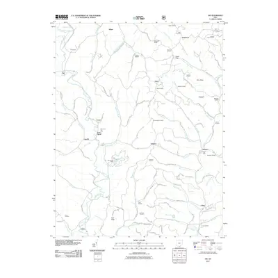 2011 Aid2011 Print · USGSSouthern Ohio's ridge country is documented here during the early twenty-first century, showing a landscape defined by its deep hollows and creek valleys. Genealogists can locate numerous local burial sites like Murnaham Cemetery and trace the rural centers at Willow Wood and Scottown.
 - 2011 Map of Kitts Hill, 2011 Print
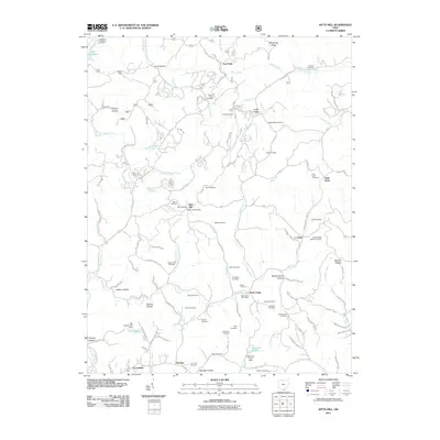 2011 Kitts Hill2011 Print · USGSIn the hills of Lawrence County during the early twenty-first century, rural life follows the winding hollows and ridge-lines east of the Ohio River. Researchers can trace ancestral sites at Mamre Cemetery, locate the Rock Camp Post Office, and map the small settlements of Five Forks and Deering.
 - 2013 Map of Catlettsburg, 2013 Print
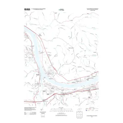 2013 Catlettsburg2013 Print · USGSThe confluence of the Ohio and Big Sandy Rivers comes alive in this modern survey of the Huntington tri-state area. Genealogists and local historians can trace the neighborhoods of Catlettsburg and Kenova or locate family sites at Crescent Hill Cem and Highland Memorial Gardens.
 - 2013 Map of Kitts Hill, 2013 Print
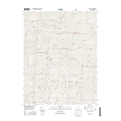 2013 Kitts Hill2013 Print · USGSLawrence County's upland communities and forest lands are captured here in the early twenty-first century. Genealogists and local historians can trace family roots through numerous burial sites like Mamre Cem, Hackworth Cem, and Blair Cem.
 - 2013 Map of Aid, 2013 Print
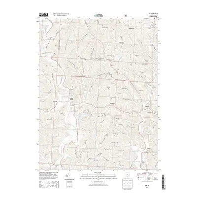 2013 Aid2013 Print · USGSLawrence County's upland ridges and forest clearings are documented here in the early twenty-first century. Researchers can trace rural cemeteries and crossroads settlements like Willow Wood, Dobbston, and the Locust Grove Methodist Episcopal Cem.
 - 2014 Map of Huntington, 2014 Print
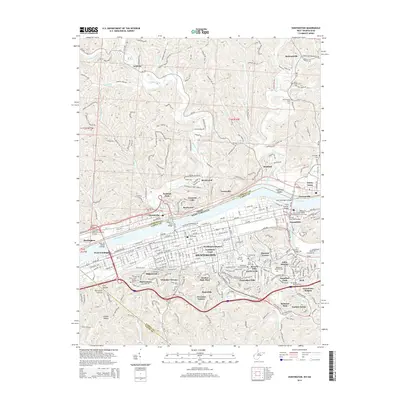 2014 Huntington2014 Print · USGSHuntington and the Ohio River valley are shown in the mid-2010s, revealing a landscape defined by industrial river crossings and established neighborhoods. Genealogists and historians can trace local landmarks like Spring Hill Cem, the Nick Joe Rahall II Bridge, and the community of Guyandotte.
 - 2016 Map of Catlettsburg, 2016 Print
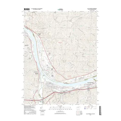 2016 Catlettsburg2016 Print · USGSThe tri-state border region at the confluence of the Ohio and Big Sandy Rivers comes alive in this detailed mid-2010s study. Researchers can trace family history through sites like Highland Memorial Gardens and Macedonia Cem or explore the industrial riverfronts of Kenova and Catlettsburg.
 - 2016 Map of Huntington, 2016 Print
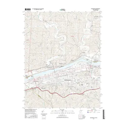 2016 Huntington2016 Print · USGSThe Ohio River valley at the border of West Virginia and Ohio was a hub of river commerce and urban growth in the early 21st century. Researchers can trace local lineage through numerous sites like Spring Hill Cem and Union Hill Cem or locate former rail lines like the Nickel Plate Rd.
 - 2016 Map of Aid, 2016 Print
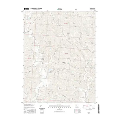 2016 Aid2016 Print · USGSLawrence County's rural townships are documented here in the mid-2010s, showing a landscape of small settlements and national forest land. Researchers can locate numerous family burial sites like Rapp Cem and Pomaria Cem or trace old routes connecting Linnville and Dobbston.
 - 2016 Map of Kitts Hill, 2016 Print
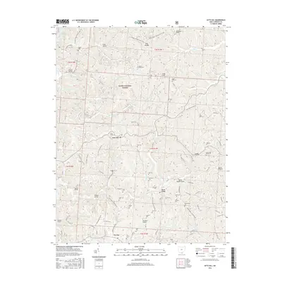 2016 Kitts Hill2016 Print · USGSLawrence County's high ridges and creek bottoms are shown here in the mid-2010s, revealing a landscape of managed forests and long-held family lands. Genealogists can trace dozens of burial sites like Oakland Chapel Cem, Leatherwood Cem, and Ross Cem.
 - 2019 Map of Catlettsburg, 2019 Print
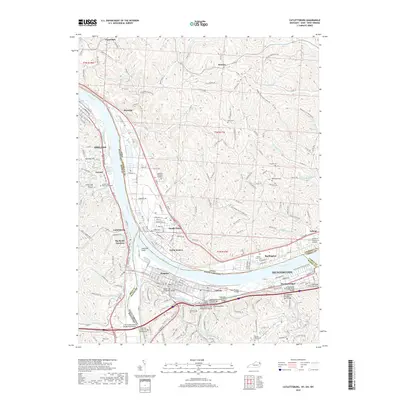 2019 Catlettsburg2019 Print · USGSThe tri-state border region comes alive in this contemporary survey of the Ohio River and Big Sandy River confluence. Genealogists and local researchers can trace family landmarks like Crescent Hill Cemetery or follow the historic rail path of Railroad Alley.
 - 2019 Map of Kitts Hill, 2019 Print
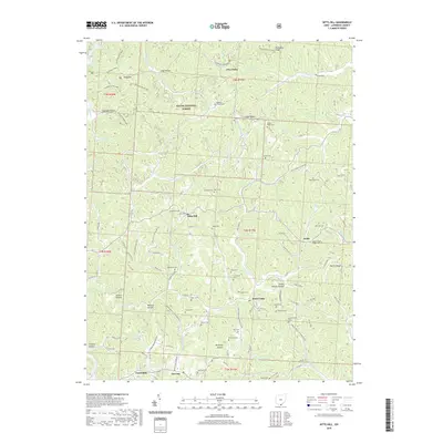 2019 Kitts Hill2019 Print · USGSSouthern Ohio's Lawrence County uplands appear here in the early twenty-first century, showing a landscape deeply shaped by its hollows and ridge-top settlements. Genealogists can trace dozens of family burial sites including Kitts Cem, Fradd Cem, and Ross Cem.
 - 2019 Map of Aid, 2019 Print
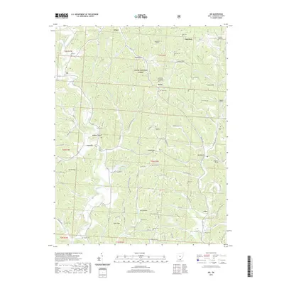 2019 Aid2019 Print · USGSLawrence County, Ohio, is depicted here in the modern era, showing the enduring rural layout of its hills and hollows. Genealogists and local historians can trace family locations near Aid Cem, Scottown Bridge, and the Centenary Cem.
 - 2019 Map of Huntington, 2019 Print
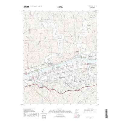 2019 Huntington2019 Print · USGSThe Tri-State region comes alive in this survey of the riverfront and its surrounding hills. Genealogists and historians can trace family locations near Huntington and Guyandotte, or locate rural burial sites such as Union Chapel Cem and McCormacks Cem.
End of results
Showing maps 1-16 of 16
Top cities near Fayette Township
- Huntington historical maps
- Ashland historical maps
- Ironton historical maps
- Rome historical maps
- Flatwoods historical maps
- South Point historical maps
See more
Top neighborhoods of Fayette Township
- Sulphur Springs historical maps
- Sunrise historical maps
- Essex historical maps
- Howell historical maps
- Burlington historical maps
- Hyland historical maps
See more
Frequently asked questions
- What are the different types of historical maps available for Fayette Township?
- What is the oldest map of Fayette Township?
- Where can I purchase historical maps of Fayette Township for my home or office?
- Where can I download high-res historical maps of Fayette Township?
- Are there historical topographic maps available for Fayette Township?
- Is there historical aerial imagery available for Fayette Township?
- Where are historical maps of Fayette Township sourced from?