2000s (21st Century) Maps of Symmes Township, Ohio
Explore 24 historic maps of Symmes Township from the 2000s (21st Century). These maps offer a rare glimpse into what life looked like during the 2000s — showing old roads, neighborhoods, homes, and landmarks that have changed or disappeared over time.
Whether you're researching your family's past, planning a metal detecting trip, or studying how Symmes Township's landscape evolved across the 2000s, these high-resolution maps are a powerful tool for exploring the history of this region.
- Focus on a specific era: All maps on this page are from the 2000s, giving you a focused view of this time period.
- See what’s changed: Compare century-old streets, trails, and buildings to today's modern landscape using overlays and satellite layers.
- Research with precision: Use these maps for genealogy, historical research, land use analysis, or educational projects.
- View, download, or print: Maps are fully viewable online in high resolution, and can be downloaded or printed for your own records.
Start exploring Symmes Township's history through authentic maps from the 2000s. This is your window into the past.
Symmes Township, OH maps
(24)- 2002 Map of Waterloo, 2006 Print
 2002 Waterloo2006 Print · USGSThe rugged ridges of Lawrence and Gallia counties are seen here in the early 2000s within the Wayne National Forest. Genealogists can trace family names through Waterloo Cem and find early community hubs like Flag Spring Ch and Arabia.
 - 2002 Map of Patriot, 2006 Print
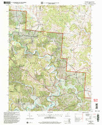 2002 Patriot2006 Print · USGSGallia County at the turn of the millennium shows a landscape defined by the winding waters of Symmes Creek and the wooded reaches of the Wayne National Forest. Researchers can trace old family sites and rural landmarks like the McDaniel Cem, Siloam Cem, and the village of Patriot.
 - 2002 Map of Sherritts, 2006 Print
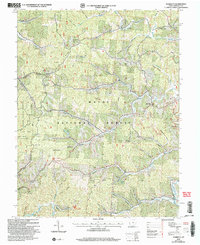 2002 Sherritts2006 Print · USGSLawrence County at the start of the new millennium shows a landscape deeply shaped by public forests and mineral work. Trace family sites across Asbury Ridge and Zoar Ridge, or locate old landmarks like the Indian Mound and Slab Fork Ch Cem.
 - 2002 Map of Gallia, 2006 Print
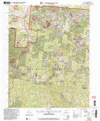 2002 Gallia2006 Print · USGSSouthern Ohio's industrial and forest lands are captured here at the turn of the century as the coal and clay heritage meets the growing woods. Genealogists can trace family landmarks like Washington Cem, Jefferson Sch, and the old settlement of Pokepatch.
 - 2011 Map of Sherritts, 2011 Print
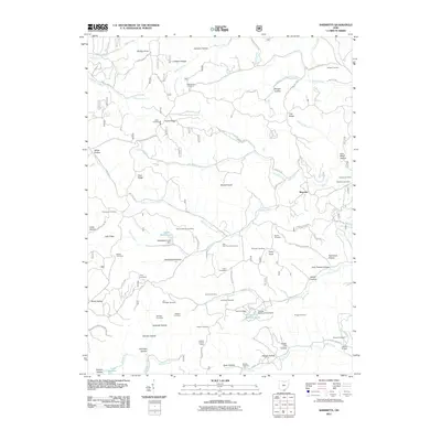 2011 Sherritts2011 Print · USGSLawrence County, Ohio, is documented here in the early twenty-first century as a landscape of family-named hollows and ridge-top settlements. Researchers can locate numerous ancestral sites including the Joe Delawder Cemetery, Slab Fork Church, and Nelson Bridge.
 - 2011 Map of Waterloo, 2011 Print
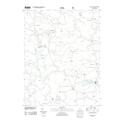 2011 Waterloo2011 Print · USGSLawrence County, Ohio, remains a landscape of high ridges and winding hollows in this 2011 survey. Researchers can trace family history through dozens of rural burial sites like Waterloo Cemetery and Mount Zion Cemetery, or locate old post offices and hubs like Waterloo and Lecta.
 - 2011 Map of Patriot, 2011 Print
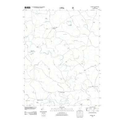 2011 Patriot2011 Print · USGSGallia County in the early twenty-first century remains a landscape of quiet crossroads and historic family landmarks. Genealogists and local historians can trace legacy sites like the Cadmus Covered Bridge, Tyn Rhos Cemetery, and the Patriot Post Office.
 - 2011 Map of Gallia, 2011 Print
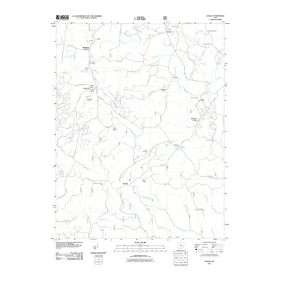 2011 Gallia2011 Print · USGSGallia County at the turn of the decade preserves a landscape of deep hollows and iron industry heritage. Genealogists can trace family names through numerous burial grounds like Bethel Cemetery and Sardis Cemetery, while industrial history is marked by the Cambria Furnace.
 - 2013 Map of Waterloo, 2013 Print
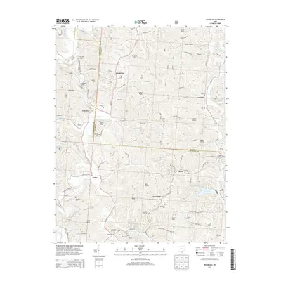 2013 Waterloo2013 Print · USGSLawrence and Gallia counties meet in this modern survey of the wooded ridges and hollows of southern Ohio. Researchers can locate numerous family burial grounds like Brumfield Cem and Okey Cem alongside rural settlements at Arabia and Greasy Ridge.
 - 2013 Map of Patriot, 2013 Print
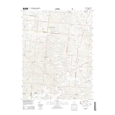 2013 Patriot2013 Print · USGSGallia County and the southern reaches of the Wayne National Forest are captured here in the early twenty-first century. Researchers can locate numerous family-named burial grounds like Tyn Rhos Cem and historic landmarks such as the Cadmus Covered Bridge.
 - 2013 Map of Gallia, 2013 Print
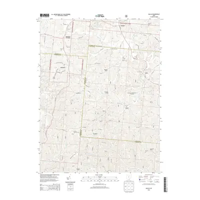 2013 Gallia2013 Print · USGSSouthern Ohio's tri-county borderlands are captured here in the early twenty-first century, showing the rural settlements and wooded ridges of the Gallia area. Researchers can locate numerous local burial sites like Sardis Cem and Thompson Cem, or trace the winding paths of Dirtyface Cr and Black Fork.
 - 2013 Map of Sherritts, 2013 Print
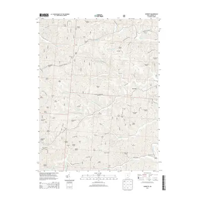 2013 Sherritts2013 Print · USGSSymmes Township and the surrounding hills of Lawrence County are shown here in the early twenty-first century as part of the Wayne National Forest. Genealogists will find an incredible density of small family burial grounds, including Macedonia Cem, Joe Delawder Cem, and Stewart Werner Cem.
 - 2016 Map of Sherritts, 2016 Print
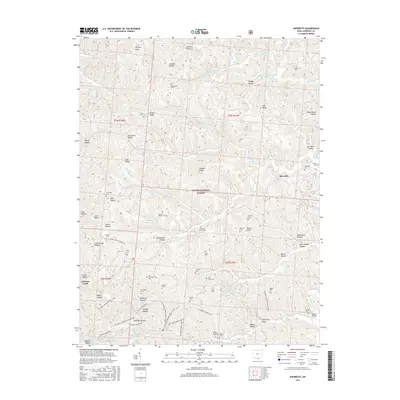 2016 Sherritts2016 Print · USGSLawrence County’s wooded ridges and deep hollows are documented here during the early twenty-first century. Researchers can locate numerous family cemeteries and remote landmarks like Sherritts, Nelson Bridge, and the Slab Fork Church Cem.
 - 2016 Map of Waterloo, 2016 Print
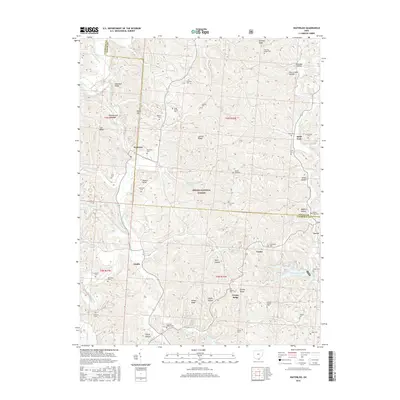 2016 Waterloo2016 Print · USGSLawrence County's upland farms and forests are captured here during the mid-2010s, showing a landscape defined by Symmes Creek and the Wayne National Forest. Genealogists can trace numerous family burial sites such as Waterloo Cem, Saunders Cem, and Neal Cem.
 - 2016 Map of Gallia, 2016 Print
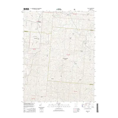 2016 Gallia2016 Print · USGSSouthern Ohio's Greenfield Township is mapped here during the mid-2010s, showing a landscape defined by the Wayne National Forest. Researchers can locate several remote burial grounds and small settlements including Peniel, Gallia, and Bethel Cem.
 - 2016 Map of Patriot, 2016 Print
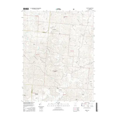 2016 Patriot2016 Print · USGSGallia County's rural landscape is shown here in the mid-2010s, where small settlements and forest trails meet. Genealogists can locate numerous burial sites like Tyn Rhos Cem and Siloam Cem, or trace the area surrounding the Cadmus Covered Bridge.
 - 2019 Map of Sherritts, 2019 Print
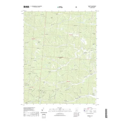 2019 Sherritts2019 Print · USGSSymmes Township remains a landscape of deep hollows and high ridges within the Wayne National Forest during this modern survey. Genealogists can trace numerous family burial sites, including the John Neal Cem, Jennick Cem, and Macedonia Cem.
 - 2019 Map of Waterloo, 2019 Print
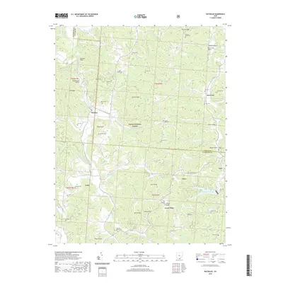 2019 Waterloo2019 Print · USGSSoutheastern Ohio’s ridge-and-hollow country is captured here during the late 2010s, showing a landscape deeply rooted in family history and forest land. Researchers can locate numerous ancestral sites like Wiseman Cem and Brumfield Cem or trace the winding waters of Symmes Creek.
 - 2019 Map of Patriot, 2019 Print
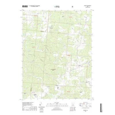 2019 Patriot2019 Print · USGSGallia County's rural landscape is captured here in the late twenty-teens, showing the dense woods of the Wayne National Forest. Family historians can locate numerous remote burial sites like Nebo Cem and the Cadmus Covered Bridge near Patriot.
 - 2019 Map of Gallia, 2019 Print
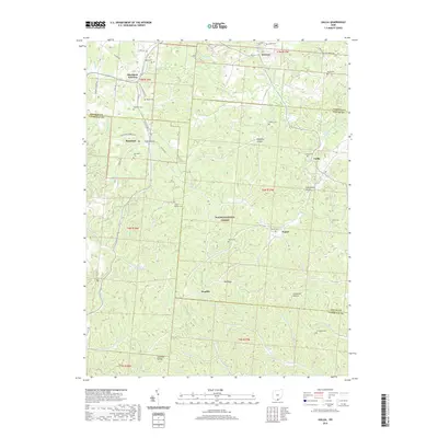 2019 Gallia2019 Print · USGSGallia County and the surrounding southern Ohio hills are shown here in the modern era, where forested ridges meet historic settlements. Genealogists can trace family sites at Washington Cem, Peniel, and the community of Blackfork.
 - 2023 Map of Sherritts, 2023 Print
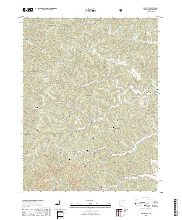 2023 Sherritts2023 Print · USGSLawrence County's high ridges and timbered hollows are shown in detail here during the early twenty-first century. Genealogists can trace family names at Macedonia Cem and Stewart Werner Cem near the small settlement of Sherritts.
 - 2023 Map of Gallia, 2023 Print
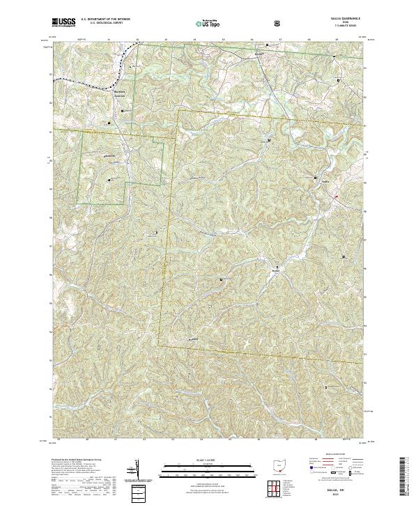 2023 Gallia2023 Print · USGSThe hills where Jackson, Lawrence, and Gallia counties meet remain a landscape of deep hollows and quiet cemeteries. Genealogists can trace family roots at Union Baptist Cem, Sardis Cem, and Thompson Cem, or locate old settlements like Peniel and Hoadley.
 - 2023 Map of Patriot, 2023 Print
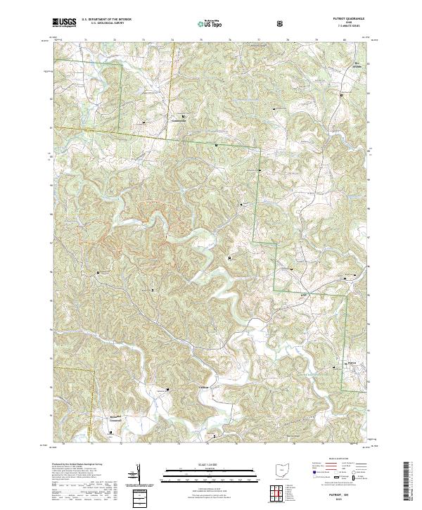 2023 Patriot2023 Print · USGSGallia County's wooded ridges and creek valleys are documented in the early twenty-first century, showing the enduring settlement patterns of southern Ohio. Researchers can locate numerous family burial grounds like Old Pine Cem and trace the paths of Symmes Creek and Trace Creek.
 - 2023 Map of Waterloo, 2023 Print
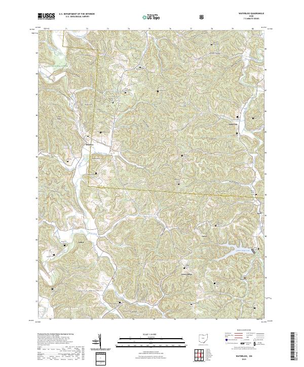 2023 Waterloo2023 Print · USGSModern Lawrence County retains its traditional character in this survey of the southern Ohio hill country. Genealogists can locate dozens of family burial sites such as Flag Spring Cem and Okey Cem near the communities of Waterloo and Arabia.
End of results
Showing maps 1-24 of 24
Top cities near Symmes Township
- Ironton historical maps
- Flatwoods historical maps
- Russell historical maps
- Lawrence historical maps
- Raceland historical maps
- Coal Grove historical maps
See more
Top neighborhoods of Symmes Township
Frequently asked questions
- What are the different types of historical maps available for Symmes Township?
- What is the oldest map of Symmes Township?
- Where can I purchase historical maps of Symmes Township for my home or office?
- Where can I download high-res historical maps of Symmes Township?
- Are there historical topographic maps available for Symmes Township?
- Is there historical aerial imagery available for Symmes Township?
- Where are historical maps of Symmes Township sourced from?