Old Maps of Symmes Township, Ohio for Academic Research
Study the evolution of Symmes Township with 38 high-resolution historic maps. Whether you're teaching, researching, or modeling changes in land use, these maps provide essential visual documentation of urban, environmental, and geographic change.
- Analyze long-term change: Track patterns in development, transportation, and natural features.
- Ideal for environmental or urban studies: Support academic projects with primary historical map data.
- Use in the classroom or lab: Educators and researchers rely on these maps to bring historical context to life.
These maps are a powerful tool for teaching, research, and visualizing how Symmes Township has changed over the decades.
Symmes Township, OH maps
(38)- 1898 Map of Ironton, 1955 Print
 1898 Ironton1955 Print · USGSSouthern Ohio's iron-producing region and the bustling riverfront at Ironton are documented here just before the turn of the century. Genealogists can trace family footprints near Vesuvius Furnace, Woodland Cemetery, and old post offices like Culbertson P.O.
 - 1900 Map of Ironton, 1918 Print
 1900 Ironton1918 Print · USGSThe Ohio River valley and the iron-rich hills of Lawrence County are seen here at the turn of the century during a peak in industrial activity. Genealogists and historians can trace defunct post offices like Orr P.O. and explore the rail corridors of the Ironton R.R. and Cincinnati Hamilton & Dayton R.R.2 unique versions available
 - 1906 Map of Bidwell, 1954 Print
 1906 Bidwell1954 Print · USGSGallia County at the turn of the century is a network of small townships and valley settlements connected by the Gallipolis and Chillicothe RR. Researchers can trace rural life through a wealth of local landmarks like Centerville Thurman PO, Ghee Bridge, and the Tomato Valley School.
 - 1906 Map of Athalia, 1956 Print
 1906 Athalia1956 Print · USGSLawrence and Gallia counties in the early 1900s are captured here as a landscape of river ferries and ridge-top farm communities. You can trace early post offices at Willowwood, follow the Baltimore and Ohio RR, or locate old river crossings like the Crown City Ferry.
 - 1908 Map of Bidwell
 1908 Bidwell1908 Print · USGSGallia County at the turn of the century is a landscape of creek-side hamlets and hill-country schools. Genealogists can trace family roots through numerous local landmarks like Tomato Valley School, Tabor Church, and the Centerville Thurman P O post office.2 unique versions available
 - 1908 Map of Athalia
 1908 Athalia1908 Print · USGSThe Ohio River borderlands in the early twentieth century were a network of ferry crossings and small river towns. Genealogists can trace family names and farmsteads near Athalia, Crown City, and the Baltimore and Ohio RR corridor.3 unique versions available
 - 1912 Map of Oak Hill, 1935 Print
 1912 Oak Hill1935 Print · USGSSouthern Ohio's iron-producing hill country is captured here during its industrial peak before the mid-century decline. Genealogists and historians can locate family homesites near landmark sites like Jefferson Furnace, the village of South Webster, and dozens of rural schools including Riegel School.2 unique versions available
 - 1957 Map of Huntington, 1966 Print
 1957 Huntington1966 Print · USGSThe industrial heart of the Ohio River valley is captured here in the mid-sixties, showing the growth of Huntington and Ashland. Researchers can trace the extensive rail networks of the Chesapeake and Ohio RR and locate sites like the Chief Cornstalk Hunting Ground.3 unique versions available
 - 1960 Map of Huntington
 1960 Huntington1960 Print · USGSThe tri-state river valley thrived in the late fifties as a hub of heavy industry and Appalachian rail transit. Genealogists and historians can trace the connection between river towns like Ashland and Portsmouth or locate family homesteads near Coleman Ridge.
 - 1961 Map of Gallia, 1963 Print
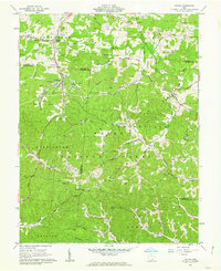 1961 Gallia1963 Print · USGSThe tri-county borderlands of southern Ohio appear here in the early sixties, caught between active industrial clay mining and the growing preserve of the Wayne National Forest. Researchers can trace old family lines through the Poetker Cemetery, the village of Gallia, and several country churches like Sardis Church.3 unique versions available
 - 1961 Map of Sherritts, 1963 Print
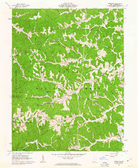 1961 Sherritts1963 Print · USGSLawrence County was a center of Appalachian forestry and mining in the early sixties. Researchers can trace family history through dozens of landmarks like Slab Fork Ch Cem, Macedonia Ch, and the high fire-watch at Kimble Lookout Tower.3 unique versions available
 - 1961 Map of Waterloo, 1963 Print
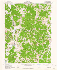 1961 Waterloo1963 Print · USGSSouthern Ohio's ridge-and-hollow country is captured here in the early sixties as small communities and extractive industries defined the local landscape. Researchers can trace family history through sites like Saunders Cem and Mt Zion Ch or locate industrial markers like the Tipple and Strip Mine sites.4 unique versions available
 - 1961 Map of Patriot, 1963 Print
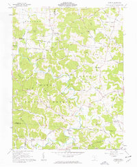 1961 Patriot1963 Print · USGSGallia County in the early sixties remains a landscape of remote ridges and hollows within the Wayne National Forest. Researchers can trace family history through numerous landmark churches like Corinth Ch and cemeteries including Wagner Cem and Siloam Cem.3 unique versions available
 - 1981 Map of Ironton, 1982 Print
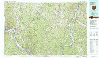 1981 Ironton1982 Print · USGSThe tri-state river valley at the start of the eighties shows a landscape shaped by heavy industry, atomic energy, and sprawling national forests. Researchers can trace the legacy of iron production at Harrison Furnace or follow the historic rail lines of the C & O RR and N & W RR.
 - 2002 Map of Waterloo, 2006 Print
 2002 Waterloo2006 Print · USGSThe rugged ridges of Lawrence and Gallia counties are seen here in the early 2000s within the Wayne National Forest. Genealogists can trace family names through Waterloo Cem and find early community hubs like Flag Spring Ch and Arabia.
 - 2002 Map of Patriot, 2006 Print
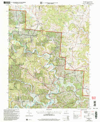 2002 Patriot2006 Print · USGSGallia County at the turn of the millennium shows a landscape defined by the winding waters of Symmes Creek and the wooded reaches of the Wayne National Forest. Researchers can trace old family sites and rural landmarks like the McDaniel Cem, Siloam Cem, and the village of Patriot.
 - 2002 Map of Sherritts, 2006 Print
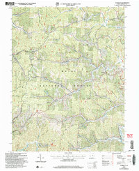 2002 Sherritts2006 Print · USGSLawrence County at the start of the new millennium shows a landscape deeply shaped by public forests and mineral work. Trace family sites across Asbury Ridge and Zoar Ridge, or locate old landmarks like the Indian Mound and Slab Fork Ch Cem.
 - 2002 Map of Gallia, 2006 Print
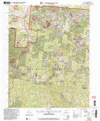 2002 Gallia2006 Print · USGSSouthern Ohio's industrial and forest lands are captured here at the turn of the century as the coal and clay heritage meets the growing woods. Genealogists can trace family landmarks like Washington Cem, Jefferson Sch, and the old settlement of Pokepatch.
 - 2011 Map of Sherritts, 2011 Print
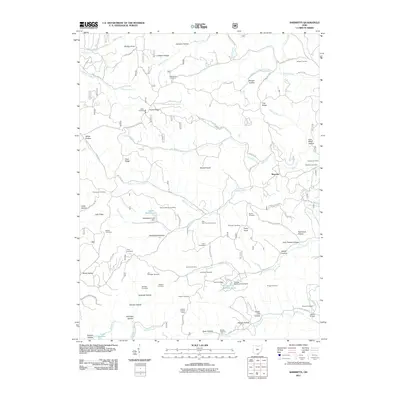 2011 Sherritts2011 Print · USGSLawrence County, Ohio, is documented here in the early twenty-first century as a landscape of family-named hollows and ridge-top settlements. Researchers can locate numerous ancestral sites including the Joe Delawder Cemetery, Slab Fork Church, and Nelson Bridge.
 - 2011 Map of Waterloo, 2011 Print
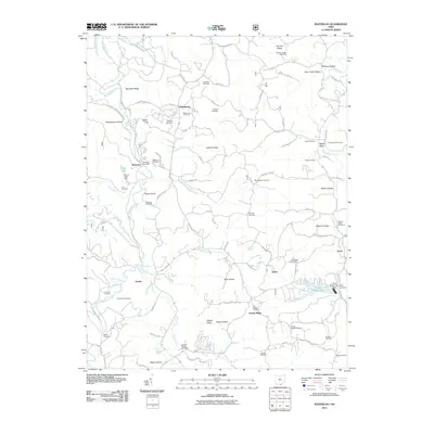 2011 Waterloo2011 Print · USGSLawrence County, Ohio, remains a landscape of high ridges and winding hollows in this 2011 survey. Researchers can trace family history through dozens of rural burial sites like Waterloo Cemetery and Mount Zion Cemetery, or locate old post offices and hubs like Waterloo and Lecta.
 - 2011 Map of Patriot, 2011 Print
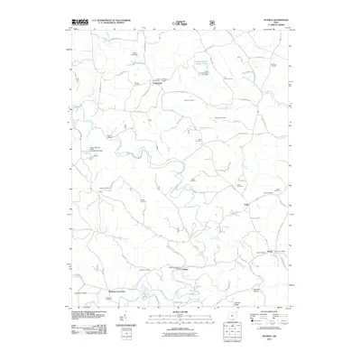 2011 Patriot2011 Print · USGSGallia County in the early twenty-first century remains a landscape of quiet crossroads and historic family landmarks. Genealogists and local historians can trace legacy sites like the Cadmus Covered Bridge, Tyn Rhos Cemetery, and the Patriot Post Office.
 - 2011 Map of Gallia, 2011 Print
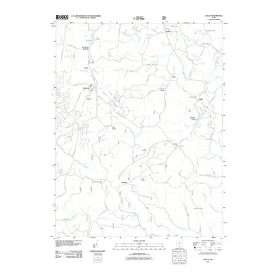 2011 Gallia2011 Print · USGSGallia County at the turn of the decade preserves a landscape of deep hollows and iron industry heritage. Genealogists can trace family names through numerous burial grounds like Bethel Cemetery and Sardis Cemetery, while industrial history is marked by the Cambria Furnace.
 - 2013 Map of Waterloo, 2013 Print
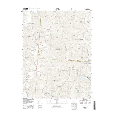 2013 Waterloo2013 Print · USGSLawrence and Gallia counties meet in this modern survey of the wooded ridges and hollows of southern Ohio. Researchers can locate numerous family burial grounds like Brumfield Cem and Okey Cem alongside rural settlements at Arabia and Greasy Ridge.
 - 2013 Map of Patriot, 2013 Print
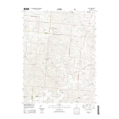 2013 Patriot2013 Print · USGSGallia County and the southern reaches of the Wayne National Forest are captured here in the early twenty-first century. Researchers can locate numerous family-named burial grounds like Tyn Rhos Cem and historic landmarks such as the Cadmus Covered Bridge.
 - 2013 Map of Gallia, 2013 Print
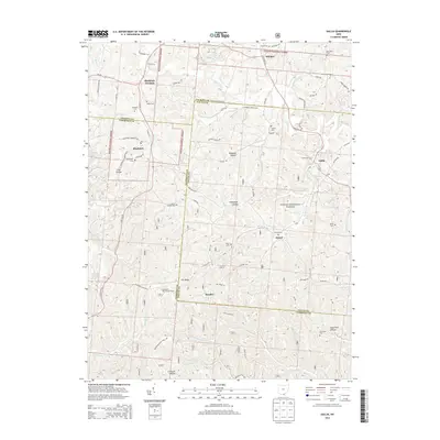 2013 Gallia2013 Print · USGSSouthern Ohio's tri-county borderlands are captured here in the early twenty-first century, showing the rural settlements and wooded ridges of the Gallia area. Researchers can locate numerous local burial sites like Sardis Cem and Thompson Cem, or trace the winding paths of Dirtyface Cr and Black Fork.
Showing maps 1-25 of 38
Top cities near Symmes Township
- Ironton historical maps
- Flatwoods historical maps
- Russell historical maps
- Lawrence historical maps
- Raceland historical maps
- Coal Grove historical maps
See more
Top neighborhoods of Symmes Township
Frequently asked questions
- What are the different types of historical maps available for Symmes Township?
- What is the oldest map of Symmes Township?
- Where can I purchase historical maps of Symmes Township for my home or office?
- Where can I download high-res historical maps of Symmes Township?
- Are there historical topographic maps available for Symmes Township?
- Is there historical aerial imagery available for Symmes Township?
- Where are historical maps of Symmes Township sourced from?