Old Maps of McKean Township, Ohio for Academic Research
Study the evolution of McKean Township with 30 high-resolution historic maps. Whether you're teaching, researching, or modeling changes in land use, these maps provide essential visual documentation of urban, environmental, and geographic change.
- Analyze long-term change: Track patterns in development, transportation, and natural features.
- Ideal for environmental or urban studies: Support academic projects with primary historical map data.
- Use in the classroom or lab: Educators and researchers rely on these maps to bring historical context to life.
These maps are a powerful tool for teaching, research, and visualizing how McKean Township has changed over the decades.
McKean Township, OH maps
(30)- 1908 Map of Granville, 1959 Print
 1908 Granville1959 Print · USGSLicking County at the start of the twentieth century remains a landscape of intimate rural communities and academic ambition. Researchers can trace ancestral farmstead locations near dozens of neighborhood hubs like Johnstown, Alexandria, and Denison University.
 - 1909 Map of Newark, 1937 Print
 1909 Newark1937 Print · USGSLicking County at the turn of the century shows a bustling rail hub at the meeting of the forks of the Licking River. Genealogists and researchers can trace family roots through numerous country schools like Poodle School and rural parishes including Newton Chapel.2 unique versions available
 - 1910 Map of Granville, 1944 Print
 1910 Granville1944 Print · USGSLicking County at the dawn of the automobile era shows a landscape of tightly-knit farming townships and busy rail corridors. Genealogists can locate family-named landmarks like Hazelton Corners, rural congregations at Wesley Chapel, and numerous local schools such as Wright School.
 - 1950 Map of Marion
 1950 Marion1950 Print · USGSCentral Ohio was a powerhouse of rail and river industry at the mid-century point, serving as a vital corridor between the Great Lakes and the Ohio River valley. Genealogists and rail historians can trace the paths of the Erie RR and Nickel Plate Road through towns like Bucyrus, Galion, and Upper Sandusky.
 - 1961 Map of Newark, 1962 Print
 1961 Newark1962 Print · USGSNewark and the Licking River forks are shown here in the early 1960s as the region's industrial base and suburban footprint expanded. Researchers can trace historic earthworks at the Octagon State Memorial, family plots in Cedar Hill Cemetery, and the local rail network of the B & O.5 unique versions available
 - 1961 Map of Fredonia, 1962 Print
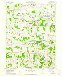 1961 Fredonia1962 Print · USGSCentral Ohio farm country comes into focus in the early sixties, showing a landscape defined by crossroads hamlets and river forks. Genealogists can trace family names at Appleton Cem, McKean Sch, and settlements like Highwater.4 unique versions available
 - 1961 Map of Granville, 1962 Print
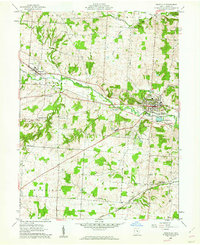 1961 Granville1962 Print · USGSLicking County at the start of the sixties reveals a landscape of collegiate life and rail-side settlements. Trace family history at Harrison Ch, explore the grounds of Denison Univ, or locate old homesteads near Union Station.3 unique versions available
 - 1961 Map of Utica, 1962 Print
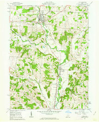 1961 Utica1962 Print · USGSThe Licking and Knox county line comes alive in the early sixties, showing a landscape defined by the North Fork and the railroad. Genealogists can trace family roots at Bell Ch Cem or Maple Cem, while researchers can locate the old Township Sch and Chatham settlement.3 unique versions available
 - 1962 Map of Marion
 1962 Marion1962 Print · USGSCentral Ohio during the post-war era showcases a dense network of railroad towns and emerging interstate highways. Genealogists can trace family roots in smaller settlements like Houcktown and Marseilles or locate landmarks near Indian Lake.
 - 1966 Map of Marion, 1968 Print
 1966 Marion1968 Print · USGSCentral Ohio in the mid-sixties is captured during a period of rapid highway expansion and industrial connectivity. Genealogists and historians can trace rail-and-river networks through towns like Marion, Urbana, and Mount Vernon, or locate landmarks such as Malabar Farm and Black Hand Rock.3 unique versions available
 - 2010 Map of Granville, 2010 Print
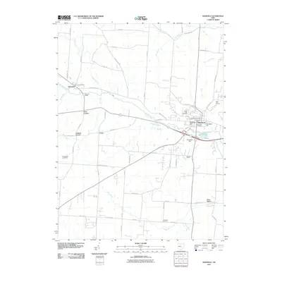 2010 Granville2010 Print · USGSGranville and its Licking County neighbors appear in the early 21st century as a landscape of historic hilltop campuses and rural crossroads. Researchers can trace the layout of Denison University, locate family plots at Welsh Hills Cemetery, or explore the rail-linked settlement of Union Station.
 - 2010 Map of Fredonia, 2010 Print
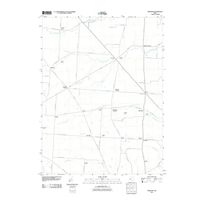 2010 Fredonia2010 Print · USGSLicking County agriculture and small rural settlements are documented here during the early twenty-first century. Genealogists can locate numerous burial sites like Bennington Chapel Cemetery and Moorehead Cemetery, or trace old property lines near Six Corners and Highwater.
 - 2010 Map of Utica, 2010 Print
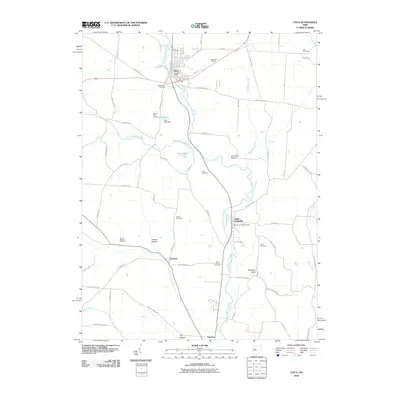 2010 Utica2010 Print · USGSLicking County at the start of the 21st century remains a landscape of river valleys and orchards defined by the North Fork Licking River. Researchers can trace old family names and land plots near Utica Cemetery, Chatham, and the Saint Louisville Post Office.
 - 2010 Map of Newark, 2010 Print
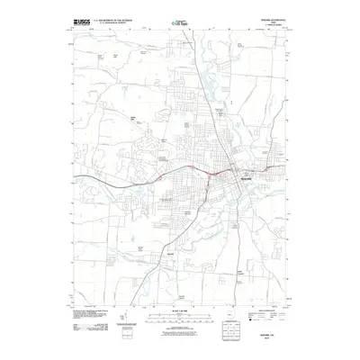 2010 Newark2010 Print · USGSNewark and Heath are shown in the early twenty-first century at the junction of the Licking River forks. Researchers can trace historic burial sites like Evans Cemetery and significant landmarks such as the Newark Mounds and Newark Low Head Dam.
 - 2013 Map of Granville, 2013 Print
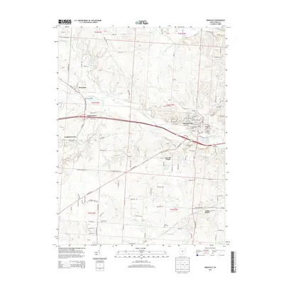 2013 Granville2013 Print · USGSLicking County at the start of the 2010s reveals a blend of collegiate tradition and rural crossroads. You can trace local history through prominent landmarks like Stadium Denison Univ, the heights of Parnassus Hill, and sites like Old Colony Cem.
 - 2013 Map of Newark, 2013 Print
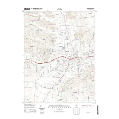 2013 Newark2013 Print · USGSLicking County enters the twenty-first century as a hub of confluence, where the South Fork Licking River and Raccoon Creek meet amidst growing suburbs. Genealogists and historians can trace numerous family burial sites like Phillips White Cem or explore the preserved geography of the Newark Mounds.
 - 2013 Map of Fredonia, 2013 Print
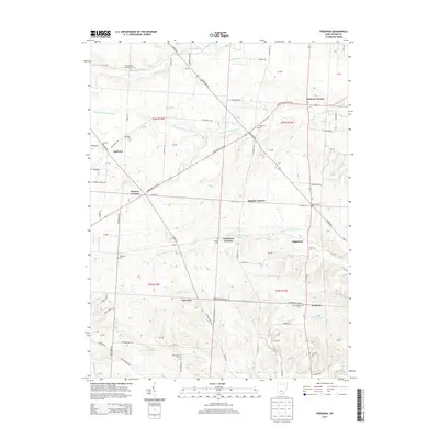 2013 Fredonia2013 Print · USGSLicking County’s rural crossroads and winding creek forks are preserved here during the early 2010s. Researchers can trace family history through numerous small burial grounds like Old Fredonia Cem and Liberty Cem or locate the historic clusters at Appleton and Cokesbury Corners.
 - 2013 Map of Utica, 2013 Print
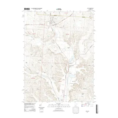 2013 Utica2013 Print · USGSNorth of Newark in the early 21st century, these Licking River valley communities maintain their rural character. Researchers can trace family history through several local burial grounds like Utica Cemetery and Marple Cemetery or explore the terrain of Preston Hollow and Wyoming Valley.
 - 2016 Map of Granville, 2016 Print
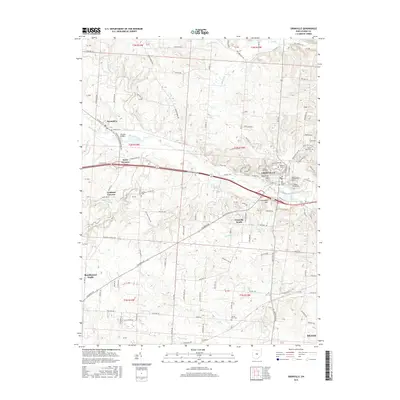 2016 Granville2016 Print · USGSLicking County in the mid-2010s shows a landscape where academic tradition meets the winding waters of the Raccoon Creek valley. Researchers can trace the grounds of Denison Univ or locate historic resting places like Welsh Hills Cem and Old Colony Cem.
 - 2016 Map of Newark, 2016 Print
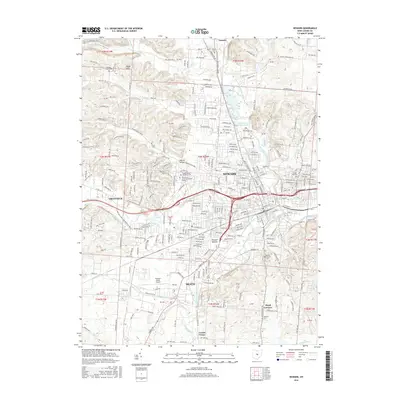 2016 Newark2016 Print · USGSNewark and the surrounding Licking County hills are shown in detail during the mid-2010s. Local researchers can trace the footprint of the Newark Mounds, locate historic burial grounds like Cedar Hill Cem, and explore the terrain of the Welsh Hills.
 - 2016 Map of Utica, 2016 Print
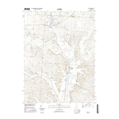 2016 Utica2016 Print · USGSLicking County and Knox County meet in the river valleys of central Ohio during the mid-2010s. Genealogists can trace family lines across numerous local burial sites like South Lawn Cem and Evans Cem or explore the settlements of Utica and Saint Louisville.
 - 2016 Map of Fredonia, 2016 Print
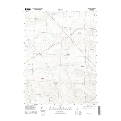 2016 Fredonia2016 Print · USGSCentral Ohio’s rural character is on full display in this mid-2010s survey of the crossroads and creek-fed valleys of Licking County. Researchers can trace family history through a wealth of local landmarks including Fredonia, Appleton, and the Bennington Chapel/Cem.
 - 2019 Map of Newark, 2019 Print
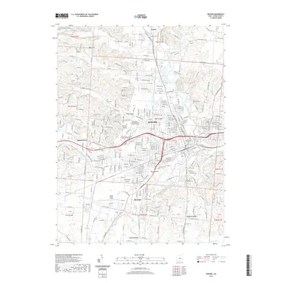 2019 Newark2019 Print · USGSLicking County at the turn of the decade shows the meeting of two river forks and the growth of its central cities. Genealogists and researchers can locate family sites at Phillips White Cem, trace the campus of the Ohio State University at Newark, or study the Newark Mounds.
 - 2019 Map of Fredonia, 2019 Print
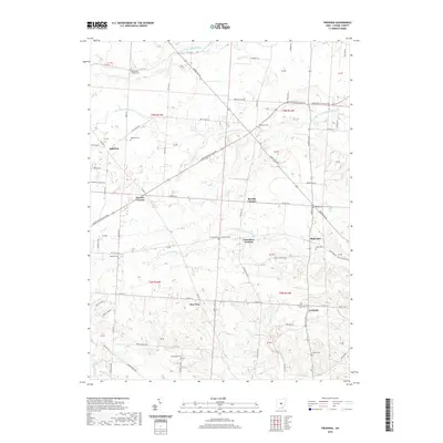 2019 Fredonia2019 Print · USGSLicking County in the late twenty-first century retains its rural character, shaped by the three forks of the Licking River. Researchers can trace historic settlements and cemeteries like Highwater, New Way, and the Bennington Chapel Cemetery.
 - 2019 Map of Granville, 2019 Print
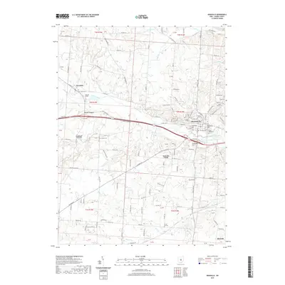 2019 Granville2019 Print · USGSLicking County at the end of the 2010s reveals a blend of collegiate life and deep-rooted rural settlements. Genealogists can locate family names and burial sites at Welsh Hills Cem, Devils Den Cem, and the historic campus of Denison University.
Showing maps 1-25 of 30
Top cities near McKean Township
- Newark historical maps
- Reynoldsburg historical maps
- Pickerington historical maps
- Mount Vernon historical maps
- Pataskala historical maps
- Heath historical maps
See more
Top neighborhoods of McKean Township
Frequently asked questions
- What are the different types of historical maps available for McKean Township?
- What is the oldest map of McKean Township?
- Where can I purchase historical maps of McKean Township for my home or office?
- Where can I download high-res historical maps of McKean Township?
- Are there historical topographic maps available for McKean Township?
- Is there historical aerial imagery available for McKean Township?
- Where are historical maps of McKean Township sourced from?