2000s (21st Century) Maps of Monroe Township, Ohio
Explore 15 historic maps of Monroe Township from the 2000s (21st Century). These maps offer a rare glimpse into what life looked like during the 2000s — showing old roads, neighborhoods, homes, and landmarks that have changed or disappeared over time.
Whether you're researching your family's past, planning a metal detecting trip, or studying how Monroe Township's landscape evolved across the 2000s, these high-resolution maps are a powerful tool for exploring the history of this region.
- Focus on a specific era: All maps on this page are from the 2000s, giving you a focused view of this time period.
- See what’s changed: Compare century-old streets, trails, and buildings to today's modern landscape using overlays and satellite layers.
- Research with precision: Use these maps for genealogy, historical research, land use analysis, or educational projects.
- View, download, or print: Maps are fully viewable online in high resolution, and can be downloaded or printed for your own records.
Start exploring Monroe Township's history through authentic maps from the 2000s. This is your window into the past.
Monroe Township, OH maps
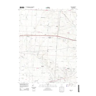
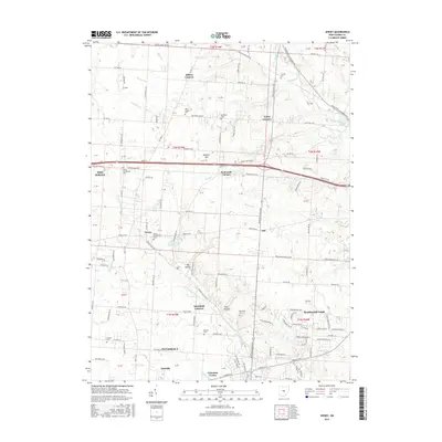
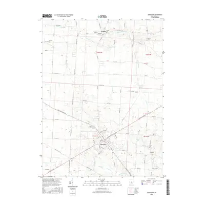
(15)- 2010 Map of Johnstown, 2010 Print
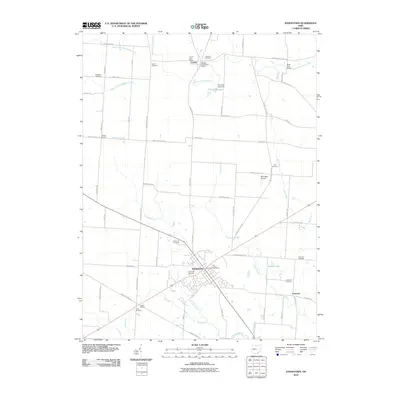 2010 Johnstown2010 Print · USGSCovers Monroe Township, including Johnstown, Croton, and other nearby areas
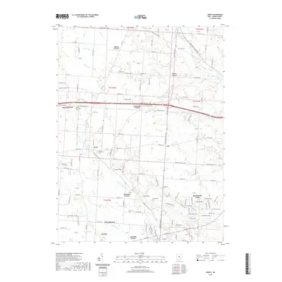
 - 2010 Map of Jersey, 2010 Print
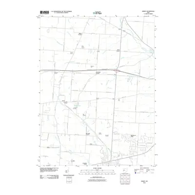 2010 Jersey2010 Print · USGSCovers Monroe Township, including Pataskala, New Albany, and other nearby areas
 - 2010 Map of Sunbury, 2010 Print
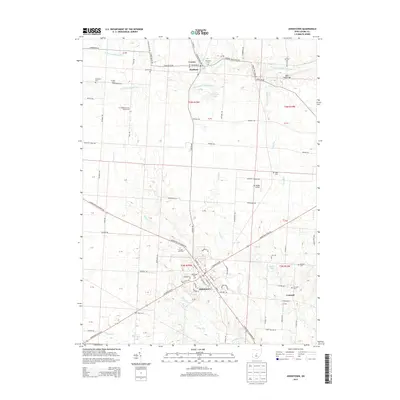
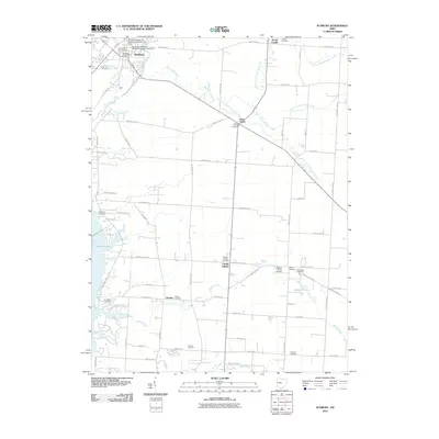 2010 Sunbury2010 Print · USGSCovers Monroe Township, including Harlem, Sunbury, and other nearby areas
 - 2013 Map of Sunbury, 2013 Print
 2013 Sunbury2013 Print · USGSCovers Monroe Township, including Harlem, Sunbury, and other nearby areas
 - 2013 Map of Jersey, 2013 Print
 2013 Jersey2013 Print · USGSCovers Monroe Township, including Pataskala, New Albany, and other nearby areas
 - 2013 Map of Johnstown, 2013 Print
 2013 Johnstown2013 Print · USGSCovers Monroe Township, including Johnstown, Croton, and other nearby areas
 - 2016 Map of Sunbury, 2016 Print
 2016 Sunbury2016 Print · USGSCovers Monroe Township, including Harlem, Sunbury, and other nearby areas
 - 2016 Map of Jersey, 2016 Print
 2016 Jersey2016 Print · USGSCovers Monroe Township, including Pataskala, New Albany, and other nearby areas
 - 2016 Map of Johnstown, 2016 Print
 2016 Johnstown2016 Print · USGSCovers Monroe Township, including Johnstown, Croton, and other nearby areas
 - 2019 Map of Johnstown, 2019 Print
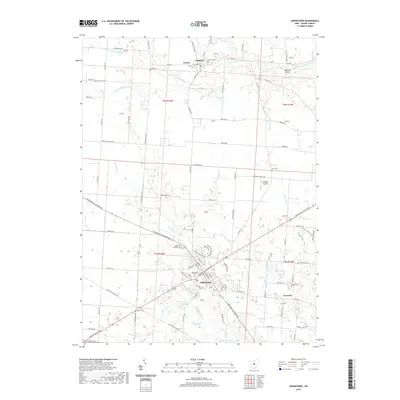 2019 Johnstown2019 Print · USGSCovers Monroe Township, including Johnstown, Croton, and other nearby areas
 - 2019 Map of Jersey, 2019 Print
 2019 Jersey2019 Print · USGSCovers Monroe Township, including Pataskala, New Albany, and other nearby areas
 - 2019 Map of Sunbury, 2019 Print
 2019 Sunbury2019 Print · USGSCovers Monroe Township, including Harlem, Sunbury, and other nearby areas
 - 2023 Map of Johnstown, 2023 Print
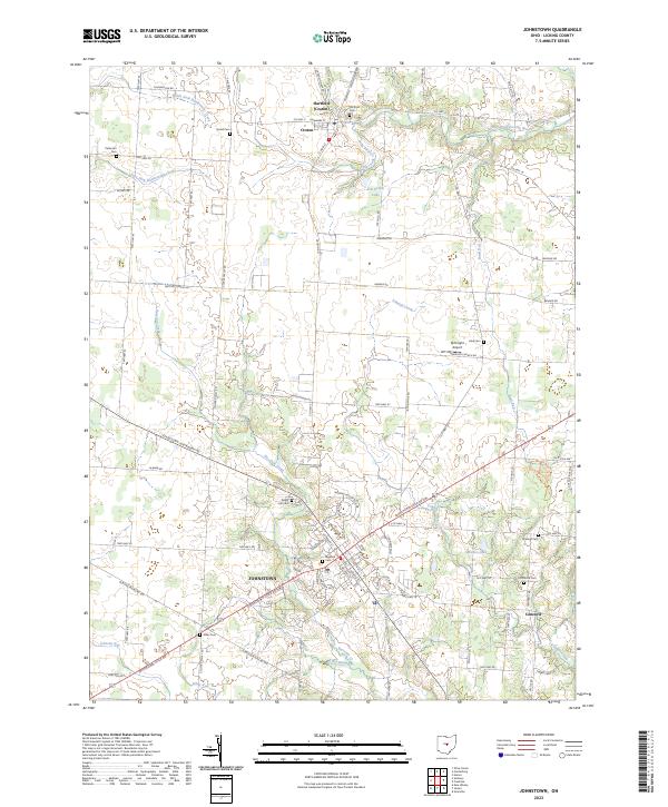 2023 Johnstown2023 Print · USGSLicking County’s rural character and small-town centers are captured here during the early twenty-first century. Researchers can locate numerous family burial grounds and historical intersections, including Bigelow Cem, Green Hill Cem, and the village of Croton.
 - 2023 Map of Jersey, 2023 Print
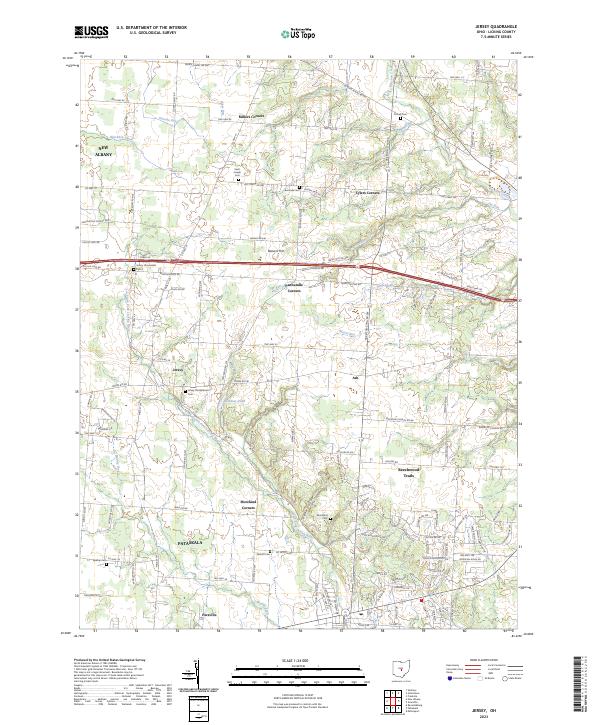 2023 Jersey2023 Print · USGSLicking County near the Franklin County border shows a landscape of historic crossroads and modern growth in the early 2020s. Genealogists can trace family names through sites like Jersey Presbyterian Cem, Burnside Cem, and the settlement of Millers Corners.
 - 2023 Map of Sunbury, 2023 Print
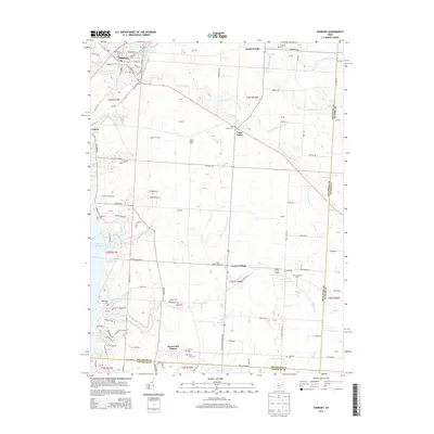
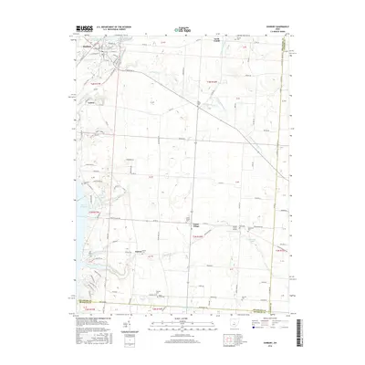
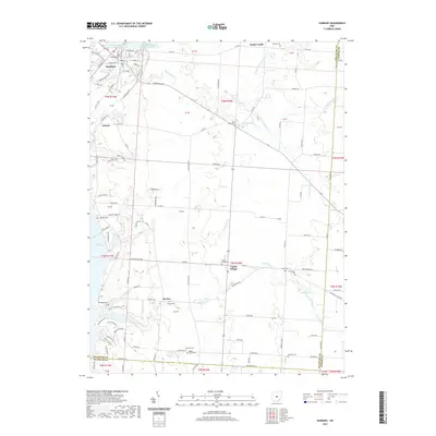
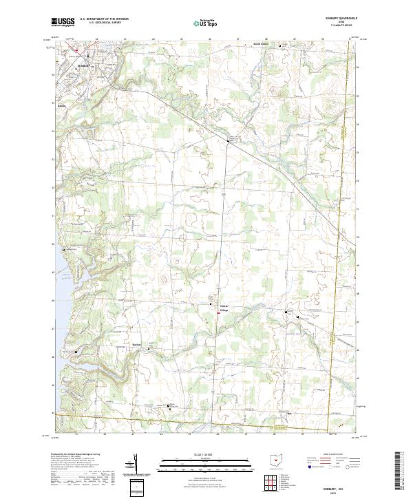 2023 Sunbury2023 Print · USGSDelaware County and the Licking County border are shown in this modern era, centered on the growing communities of Sunbury and Galena. Genealogists can locate numerous local burial sites like Vans Valley Cem, Maple Grove Cem, and Center Village Cem.
End of results
Showing maps 1-15 of 15
Top cities near Monroe Township
- Columbus historical maps
- Newark historical maps
- Westerville historical maps
- Reynoldsburg historical maps
- Gahanna historical maps
- Whitehall historical maps
See more
Top neighborhoods of Monroe Township
Frequently asked questions
- What are the different types of historical maps available for Monroe Township?
- What is the oldest map of Monroe Township?
- Where can I purchase historical maps of Monroe Township for my home or office?
- Where can I download high-res historical maps of Monroe Township?
- Are there historical topographic maps available for Monroe Township?
- Is there historical aerial imagery available for Monroe Township?
- Where are historical maps of Monroe Township sourced from?