2020s Maps of Union Township, Ohio
Explore 4 historic maps of Union Township from the 2020s. These maps offer a rare glimpse into what life looked like during the 2020s — showing old roads, neighborhoods, homes, and landmarks that have changed or disappeared over time.
Whether you're researching your family's past, planning a metal detecting trip, or studying how Union Township's landscape evolved across the 2020s, these high-resolution maps are a powerful tool for exploring the history of this region.
- Focus on a specific era: All maps on this page are from the 2020s, giving you a focused view of this time period.
- See what’s changed: Compare century-old streets, trails, and buildings to today's modern landscape using overlays and satellite layers.
- Research with precision: Use these maps for genealogy, historical research, land use analysis, or educational projects.
- View, download, or print: Maps are fully viewable online in high resolution, and can be downloaded or printed for your own records.
Start exploring Union Township's history through authentic maps from the 2020s. This is your window into the past.
Union Township, OH maps
(4)- 2023 Map of Granville, 2023 Print
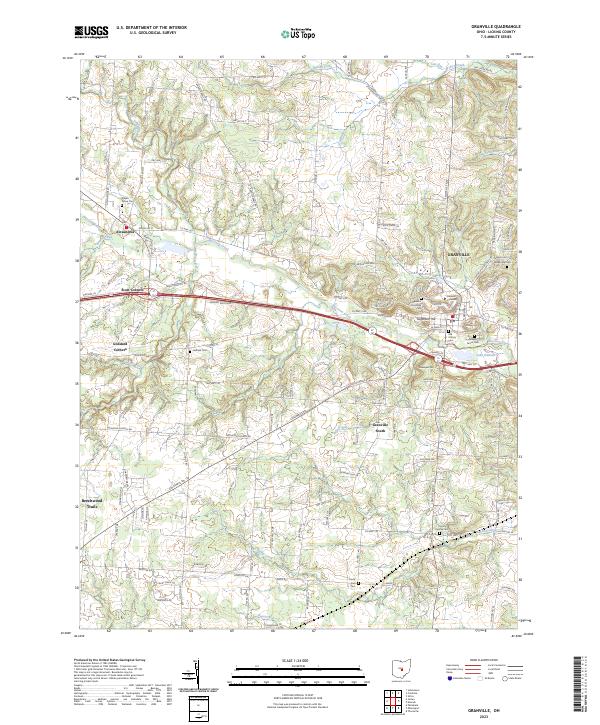 2023 Granville2023 Print · USGSThe rolling Licking County landscape surrounding Granville is shown here in the 2020s, highlighting the enduring presence of Denison University. Researchers can trace early pioneer burial sites at Old Colony Cem and Welsh Hills Cem or explore the rural layout of Alexandria.
 - 2023 Map of Millersport, 2023 Print
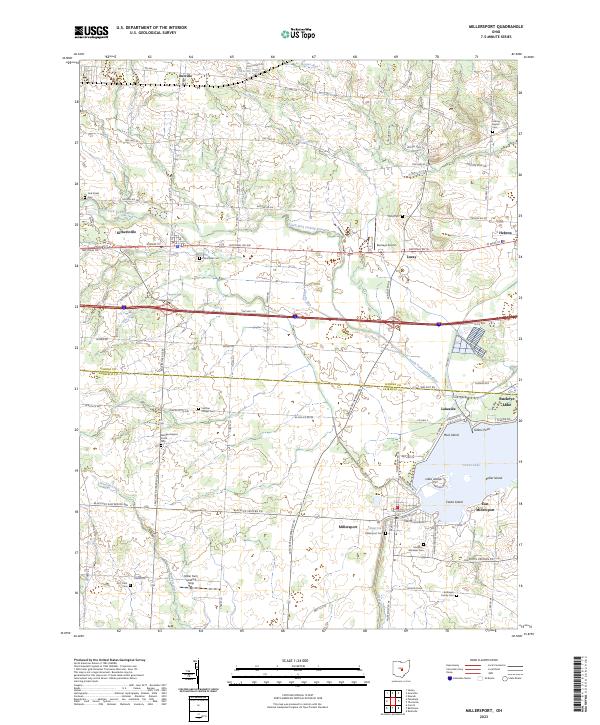 2023 Millersport2023 Print · USGSCentral Ohio's lakefront and agricultural heritage are on full display in this modern survey of the Licking and Fairfield county line. Genealogists and local historians can trace legacy sites like the Licking Baptist Cem or explore the canal-front layout of Millersport and Buckeye Lake.
 - 2023 Map of Thornville, 2023 Print
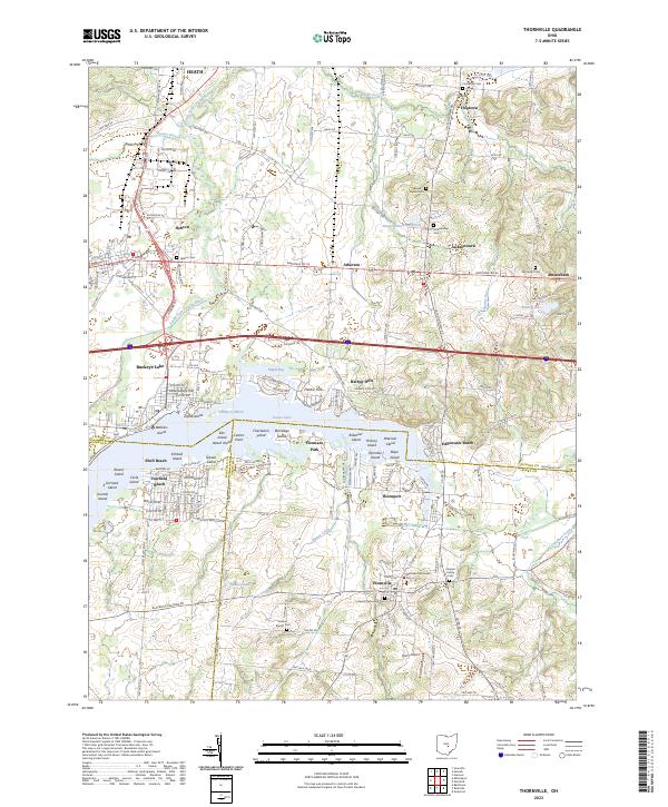 2023 Thornville2023 Print · USGSThe shoreline of Buckeye Lake and its surrounding communities are documented in this recent survey of the Perry and Licking county line. Genealogists can locate family landmarks like Kemper Family Cem and the Hebron Cem while tracing the path of National Rd SE.
 - 2023 Map of Newark, 2023 Print
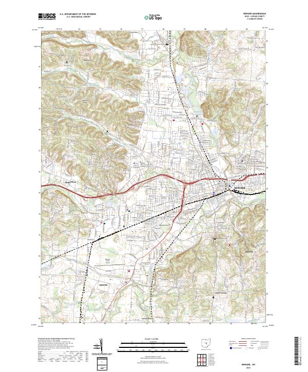 2023 Newark2023 Print · USGSThe Licking River valley comes alive in this contemporary record of the Newark and Granville area, showing the modern footprint of these historic Ohio settlements. Researchers can locate family sites among several cemeteries like Mount Calvary Cem or trace the preservation of the ancient Newark Mounds.
End of results
Showing maps 1-4 of 4
Top cities near Union Township
- Newark historical maps
- Lancaster historical maps
- Reynoldsburg historical maps
- Pickerington historical maps
- Pataskala historical maps
- Heath historical maps
See more
Top neighborhoods of Union Township
- Buckeye Lake historical maps
- Har-Win Acres historical maps
- Hollywood by the Lake historical maps
- Pinecrest Estates historical maps
- Sandstone Canyon historical maps
- Union Station historical maps
See more
Frequently asked questions
- What are the different types of historical maps available for Union Township?
- What is the oldest map of Union Township?
- Where can I purchase historical maps of Union Township for my home or office?
- Where can I download high-res historical maps of Union Township?
- Are there historical topographic maps available for Union Township?
- Is there historical aerial imagery available for Union Township?
- Where are historical maps of Union Township sourced from?