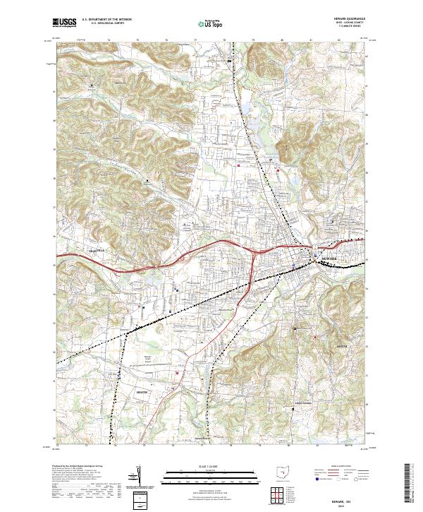
2023 Map of Newark
USGS Topo · Published 2023About this map
The Licking River and its multiple forks define the landscape of this central Ohio corridor, where the city of Newark serves as the hub for surrounding communities like Granville and Heath. The convergence of the North Fork Licking River and South Fork Licking River historically shaped the urban layout, while ancient earthworks at the Newark Mounds persist as a significant landmark of pre-modern history. To the west, the Welsh Hills and Sharon Valley rise above the river plains, offering a glimpse into the topographical variety of Licking County.
Find a feature on this map
300 named features on this map. Tap any name to fly to it.
Don’t see what you’re looking for? This feature index may not catch every label — zoom into the map to look around manually.
Map Details
Editions of this 2023 Newark Map
This is the sole edition of this map. No revisions or reprints were ever made.