Old Maps of Big Island Township, Ohio
Explore 31 old maps of Big Island Township, spanning from 1903 to today. These high-resolution historic maps reveal how streets, neighborhoods, landmarks, and natural features evolved over time — perfect for genealogy, metal detecting, research, and local history exploration.
What you can do with these maps:
- See how Big Island Township changed over time: Compare historical maps to modern-day views to trace roads, homesites, rail lines & more.
- View detailed metadata: Each map includes creators, publishers, year, scale, and archive source.
- Overlay maps with satellite & LiDAR: Visualize the past alongside modern tools to explore terrain & human change.
- Trusted historical sources: Maps sourced from the USGS, Library of Congress, and other archives.
- Access maps your way: View online, download high-res files, or order prints for personal or research use.
Start exploring old maps of Big Island Township to uncover forgotten places, hidden landmarks, and the deep history beneath your feet.
Big Island Township, OH maps
(31)- 1903 Map of Marion, 1961 Print
 1903 Marion1961 Print · USGSMarion emerges as a powerful rail hub at the turn of the century, with nearly ten different lines intersecting at the city's heart. Local historians can trace the early industrial landscape through the Electric RR and the Quarry near Owen.
 - 1905 Map of Marion, 1944 Print
 1905 Marion1944 Print · USGSMarion became a bustling railroad crossroads at the turn of the century, serving as a vital link for the state's industrial and agricultural transport. Researchers can trace the early city grid, the path of the Hocking Valley Line, and rural outposts like Morral and Little Sandusky.
 - 1915 Map of La Rue, 1944 Print
 1915 La Rue1944 Print · USGSRailroad hubs and rural school districts define the landscape of Marion and Wyandot Counties in the years before the Great War. Genealogists can trace family roots through numerous local landmarks like York Street School, the village of La Rue, and the Scioto Military Land.
 - 1950 Map of Marion
 1950 Marion1950 Print · USGSCentral Ohio was a powerhouse of rail and river industry at the mid-century point, serving as a vital corridor between the Great Lakes and the Ohio River valley. Genealogists and rail historians can trace the paths of the Erie RR and Nickel Plate Road through towns like Bucyrus, Galion, and Upper Sandusky.
 - 1960 Map of Morral, 1962 Print
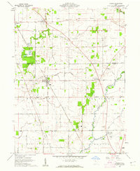 1960 Morral1962 Print · USGSMarion and Wyandot Counties come into focus during the early sixties, showing a landscape defined by the Old Indian Treaty Boundary. Genealogists can locate family names at Grand Prairie Cem or Bretz Cem, while tracing the Chesapeake and Ohio Road through Morral.3 unique versions available
 - 1961 Map of Meeker, 1962 Print
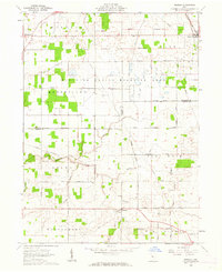 1961 Meeker1962 Print · USGSThe borderlands of Wyandot and Marion counties are captured here in the early sixties, showing a landscape defined by the historic Treaty Boundary. Researchers can locate old family cemeteries like Union Cem and Bowersville Cem or trace the early course of Tymochtee Creek.3 unique versions available
 - 1961 Map of New Bloomington, 1962 Print
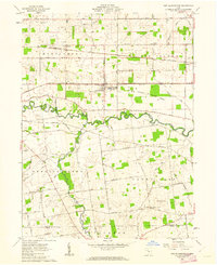 1961 New Bloomington1962 Print · USGSMarion County's rural townships are captured here in the early sixties, showing a landscape defined by the Scioto River and active rail lines. Researchers can trace family history through numerous small burial sites like Guthery and Salem Ch Cem, or locate the old Bell School.3 unique versions available
 - 1961 Map of Marion West, 1963 Print
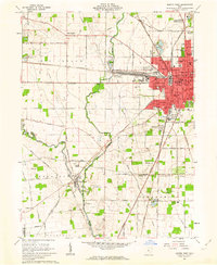 1961 Marion West1963 Print · USGSMarion emerges as a powerful rail hub in the early sixties, defined by the intersection of four major rail lines. Genealogists and local historians can trace the foundations of the community through its numerous neighborhood schools like Baker Jr High Sch and historic sites such as Green Camp Cem.4 unique versions available
 - 1962 Map of Marion
 1962 Marion1962 Print · USGSCentral Ohio during the post-war era showcases a dense network of railroad towns and emerging interstate highways. Genealogists can trace family roots in smaller settlements like Houcktown and Marseilles or locate landmarks near Indian Lake.
 - 1966 Map of Marion, 1968 Print
 1966 Marion1968 Print · USGSCentral Ohio in the mid-sixties is captured during a period of rapid highway expansion and industrial connectivity. Genealogists and historians can trace rail-and-river networks through towns like Marion, Urbana, and Mount Vernon, or locate landmarks such as Malabar Farm and Black Hand Rock.3 unique versions available
 - 1986 Map of Marion
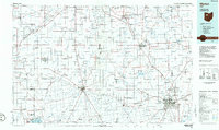 1986 Marion1986 Print · USGSNorthwest Ohio's agricultural and rail heartland is captured here in the mid-1980s, centered on the expansion of Marion and Kenton. Genealogists can trace family footprints near Bluffton College, old rail stops like Dola, and landmarks such as Indian Lake State Park.2 unique versions available
 - 2010 Map of Meeker, 2010 Print
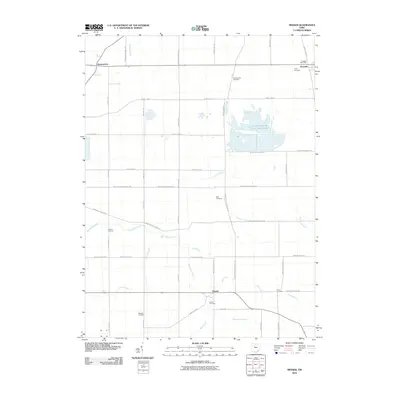 2010 Meeker2010 Print · USGSPitt Township and the surrounding Wyandot County countryside appear in this early twenty-first-century survey of rural Ohio. Genealogists can trace family heritage through numerous burial sites like Bowsherville Cemetery, Union Cemetery, and the Harpster Post Office.
 - 2010 Map of Marion West, 2010 Print
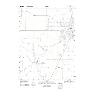 2010 Marion West2010 Print · USGSThe western outskirts of Marion and the village of Green Camp are captured here as the new millennium began. Researchers can trace rural lineages through local sites like Saint Marys Cemetery, the Green Camp Post Office, and Sullivan Cemetery.
 - 2010 Map of Morral, 2010 Print
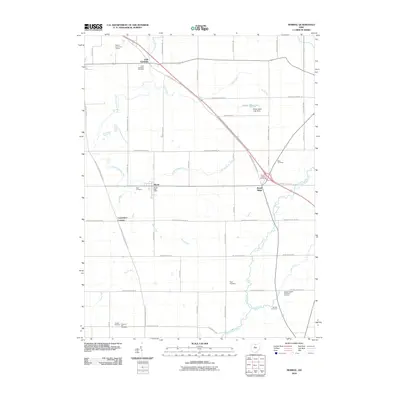 2010 Morral2010 Print · USGSMarion County at the start of the 21st century remains a landscape of quiet villages and ancestral burial grounds. Genealogists can trace family footprints across Little Sandusky, Carpenters Corners, and Morral, or locate resting places at Grand Prairie Cemetery and Page Cemetery.
 - 2010 Map of New Bloomington, 2010 Print
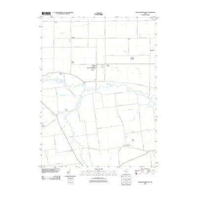 2010 New Bloomington2010 Print · USGSMarion County at the turn of the millennium reveals a rural landscape shaped by the Scioto River and generations of farm life. Researchers can locate numerous pioneer and community burial grounds including Salem Cemetery, Ebenezer Cemetery, and Chapel Cemetery.
 - 2013 Map of Morral, 2013 Print
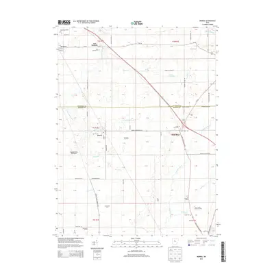 2013 Morral2013 Print · USGSThe Sandusky Plains in the early twenty-first century remain a landscape of family farms and quiet crossroads. Researchers can trace numerous local burial sites like Neff Cem and Bretz Cem near the historic settlements of Morral and Harpster.
 - 2013 Map of Marion West, 2013 Print
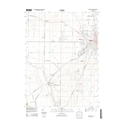 2013 Marion West2013 Print · USGSThe western outskirts of Marion and the village of Green Camp are captured here during the early twenty-first century as the landscape transitioned from city streets to fertile river bottoms. Genealogists can locate several historic burial sites, including Old Marion Cem, Saint Marys Cem, and Market Kirts Cem.
 - 2013 Map of New Bloomington, 2013 Print
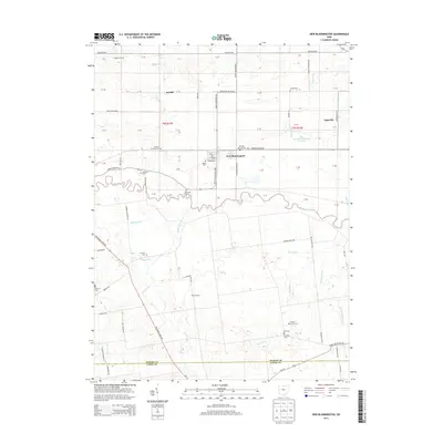 2013 New Bloomington2013 Print · USGSMarion County farming life and drainage systems are captured here in the early twenty-first century. Genealogists can trace numerous family-named burial sites like Agosta Cem, Ebenezer Cem, and the German Reform Cem near New Bloomington.
 - 2013 Map of Meeker, 2013 Print
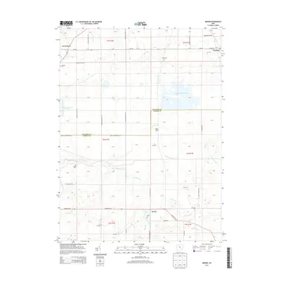 2013 Meeker2013 Print · USGSThe Sandusky Plains of Wyandot and Marion Counties are captured here in the early twenty-first century. Genealogists and local historians can trace family roots through numerous local burial sites like Bowersville Cem and Yoakum Cem, alongside the small communities of Harpster and Meeker.
 - 2016 Map of Meeker, 2016 Print
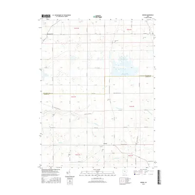 2016 Meeker2016 Print · USGSThe rural boundary between Wyandot and Marion Counties is preserved here in the mid-2010s, showing a landscape shaped by both agriculture and water management. Researchers can locate numerous pioneer burial sites like Hunt Cem and Yoakum Cem near the banks of Tymochtee Cr.
 - 2016 Map of New Bloomington, 2016 Print
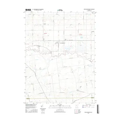 2016 New Bloomington2016 Print · USGSMarion County's agricultural heartland is documented here in the mid-2010s, centered on the Scioto River and its surrounding townships. Researchers can locate several historic burial grounds like Dickason Cem and Salem Cem, or trace the rural routes connecting Agosta and Espyville.
 - 2016 Map of Morral, 2016 Print
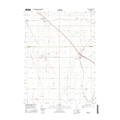 2016 Morral2016 Print · USGSMarion and Wyandot counties are captured here in the mid-2010s, showcasing a landscape defined by the winding Sandusky River and the rural hub of Morral. Family historians can locate numerous burial sites across the townships, including Little Sandusky Cem, Neff Cem, and Grand Prairie Cem.
 - 2016 Map of Marion West, 2016 Print
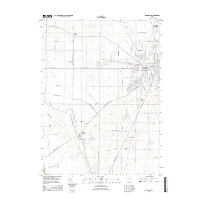 2016 Marion West2016 Print · USGSMarion and its western rural outskirts are captured here during the mid-2010s as the city core meets the Scioto River valley. Local researchers can trace family sites from Old Marion Cem to rural settlements like Green Camp and the historic Big Island area.
 - 2019 Map of Morral, 2019 Print
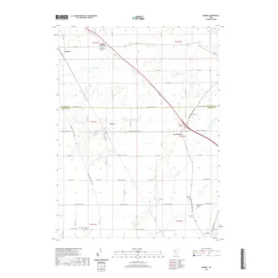 2019 Morral2019 Print · USGSThis rural area on the Wyandot-Marion County line is shown in the late 2010s as it remains defined by its agricultural roots and river drainages. Family historians can locate numerous burial sites including Bretz Cem, Page Cem, and Chapel Heights Memorial Gardens.
 - 2019 Map of Marion West, 2019 Print
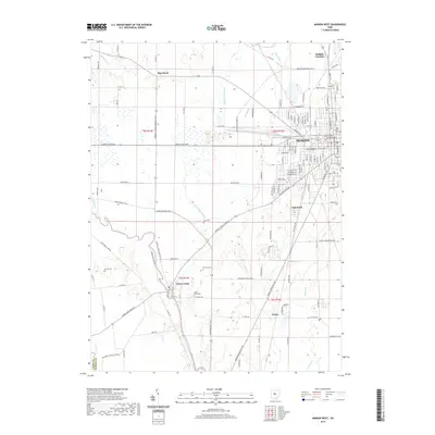 2019 Marion West2019 Print · USGSMarion and its rural western townships are captured here during a period of modern agricultural and residential transition. Genealogists and historians can trace family ties at Old Marion Cem, Green Camp Cem, and the Marion County Courthouse.
Showing maps 1-25 of 31
Top cities near Big Island Township
- Marion historical maps
- Upper Sandusky historical maps
- Radnor historical maps
- Richwood historical maps
- Big Island historical maps
- Prospect historical maps
See more
Top neighborhoods of Big Island Township
Frequently asked questions
- What are the different types of historical maps available for Big Island Township?
- What is the oldest map of Big Island Township?
- Where can I purchase historical maps of Big Island Township for my home or office?
- Where can I download high-res historical maps of Big Island Township?
- Are there historical topographic maps available for Big Island Township?
- Is there historical aerial imagery available for Big Island Township?
- Where are historical maps of Big Island Township sourced from?