Old Maps of Homer Township, Ohio for Academic Research
Study the evolution of Homer Township with 36 high-resolution historic maps. Whether you're teaching, researching, or modeling changes in land use, these maps provide essential visual documentation of urban, environmental, and geographic change.
- Analyze long-term change: Track patterns in development, transportation, and natural features.
- Ideal for environmental or urban studies: Support academic projects with primary historical map data.
- Use in the classroom or lab: Educators and researchers rely on these maps to bring historical context to life.
These maps are a powerful tool for teaching, research, and visualizing how Homer Township has changed over the decades.
Homer Township, OH maps
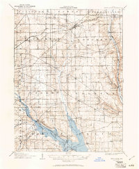
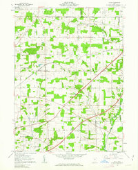
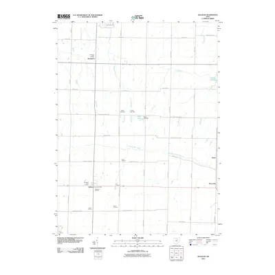
(36)- 1904 Map of Wellington, 1958 Print
 1904 Wellington1958 Print · USGSNorth-central Ohio at the turn of the century is a network of growing rail towns and agricultural townships. Genealogists can trace family roots through settlements like Wellington, Homerville, and Lodi, while following the paths of the Wheeling and Lake Erie RR and Salt Creek.
 - 1906 Map of Wellington, 1942 Print
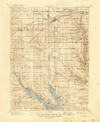
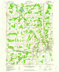
 1906 Wellington1942 Print · USGSNorth-central Ohio at the opening of the twentieth century was a landscape of thriving rail-junction towns and fertile creek bottoms. Genealogists and historians can trace the early footprints of Wellington, Sullivan, and Lodi as they were connected by the Baltimore and Ohio and several electric rail lines.
 - 1906 Map of West Salem, 1961 Print
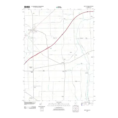
 1906 West Salem1961 Print · USGSIn the early 1900s, this area of Northern Ohio was a web of small rail-side settlements and rural townships. Genealogists and historians can trace old homesteads and local landmarks like the Eight Square Ch, the village of Jeromesville, and the Mohicanville Reservoir.
 - 1908 Map of West Salem, 1946 Print
 1908 West Salem1946 Print · USGSNorth Central Ohio's rural landscape is captured here in the early twentieth century, showing the transition from early surveying reserves to a rail-connected farm economy. Researchers can locate early township centers and rail stops like Polk, Congress, and Eight Square Ch.
 - 1950 Map of Marion
 1950 Marion1950 Print · USGSCentral Ohio was a powerhouse of rail and river industry at the mid-century point, serving as a vital corridor between the Great Lakes and the Ohio River valley. Genealogists and rail historians can trace the paths of the Erie RR and Nickel Plate Road through towns like Bucyrus, Galion, and Upper Sandusky.
 - 1956 Map of Toledo, 1968 Print
 1956 Toledo1968 Print · USGSNorthwest Ohio and the Lake Erie shoreline are shown in detail during the late fifties, showcasing a landscape of heavy industry, railroads, and island communities. Genealogists and historians can trace rail networks like the Chesapeake & Ohio RR or locate landmarks such as the Erie Proving Ground and Kelleys Island.4 unique versions available
 - 1961 Map of Toledo
 1961 Toledo1961 Print · USGSThe western basin of Lake Erie and the industrial heart of Northern Ohio are captured here during the post-war era. Researchers can trace historical rail lines like the New York Central or locate landmarks like the Erie Ordnance Depot and Pelee Island.
 - 1961 Map of West Salem, 1962 Print
 1961 West Salem1962 Print · USGSWayne County farmland at the start of the sixties reveals a landscape shaped by historic land grants and early rail lines. Genealogists can trace family roots through numerous sites like Warners-Congress Cem, Fairhaven Ch, and the Burbank Station.2 unique versions available
 - 1961 Map of Sullivan, 1963 Print
 1961 Sullivan1963 Print · USGSThe rural borderlands of Ashland, Medina, and Lorain counties are captured here in the early sixties as small farming hamlets like Sullivan and Homerville thrived. Genealogists can trace family landmarks such as Hubler Cem and Gould Cem or locate early school sites like the Black River High Sch.3 unique versions available
 - 1961 Map of Polk, 1963 Print
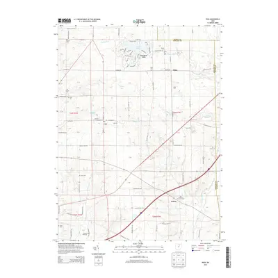
 1961 Polk1963 Print · USGSAshland County farmland is documented here in the early sixties, showing the transition from traditional rail commerce to modern highway travel. Genealogists can locate Albion Cem, St Johns Ch, and the rural settlement of Redhaw near the Muddy Fork.3 unique versions available
 - 1961 Map of Lodi, 1963 Print
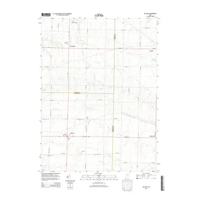
 1961 Lodi1963 Print · USGSMedina County is captured in the early sixties as a network of rail-side villages and rural crossroads communities. Trace the vanished footprints of old farmsteads through family burial grounds like Vanderhoef Cem and crossroads like Garden Isle or Esselburn.3 unique versions available
 - 1962 Map of Marion
 1962 Marion1962 Print · USGSCentral Ohio during the post-war era showcases a dense network of railroad towns and emerging interstate highways. Genealogists can trace family roots in smaller settlements like Houcktown and Marseilles or locate landmarks near Indian Lake.
 - 1966 Map of Marion, 1968 Print
 1966 Marion1968 Print · USGSCentral Ohio in the mid-sixties is captured during a period of rapid highway expansion and industrial connectivity. Genealogists and historians can trace rail-and-river networks through towns like Marion, Urbana, and Mount Vernon, or locate landmarks such as Malabar Farm and Black Hand Rock.3 unique versions available
 - 1986 Map of Mansfield
 1986 Mansfield1986 Print · USGSNorth-central Ohio in the mid-eighties shows a landscape of industrial towns and large-scale water management projects. Researchers can trace historic sites like the Mansfield Reformatory, Malabar Farm State Park, and the racing grounds at Mid-Ohio Race Course.
 - 1986 Map of Lorain
 1986 Lorain1986 Print · USGSThe Lake Erie shoreline and North Central Ohio interior are shown in detail during the mid-eighties, from the industrial docks of Lorain to the peninsulas of Sandusky. Researchers can trace historic transport routes like the Baltimore and Ohio Railroad or locate significant landmarks like Oberlin College and Cedar Point.2 unique versions available
 - 1994 Map of Mansfield
 1994 Mansfield1994 Print · USGSThe Mansfield and Ashland corridor of the 1990s reveals a landscape of industrial rail junctions and extensive state forests. You can trace the drainage of the Mohican River through reservoirs like Charles Mill Lake or locate sites such as Malabar Farm State Park.
 - 2010 Map of Lodi, 2010 Print
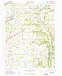
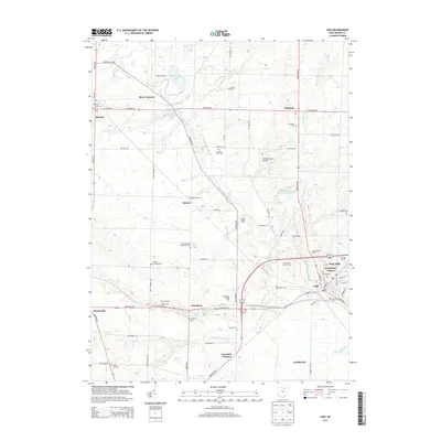
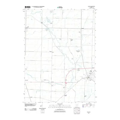 2010 Lodi2010 Print · USGSCovers Homer Township, including Lodi, Spencer, and other nearby areas
 - 2010 Map of Polk, 2010 Print
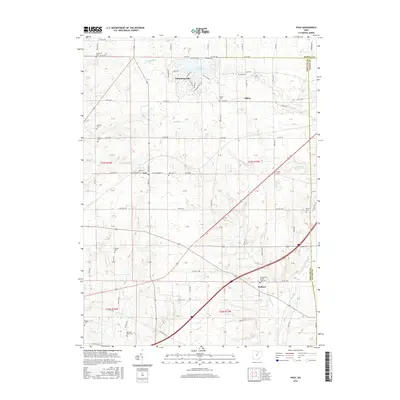
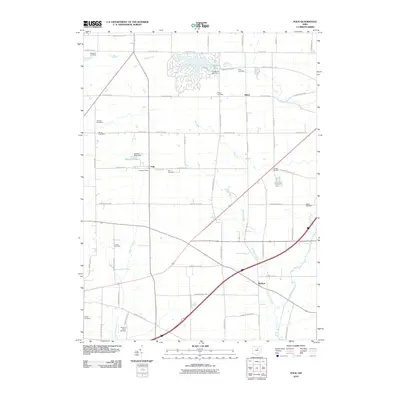 2010 Polk2010 Print · USGSCovers Homer Township, including Polk, Perry Township, and other nearby areas
 - 2010 Map of Sullivan, 2010 Print
 2010 Sullivan2010 Print · USGSCovers Homer Township, including Sullivan, Huntington, and other nearby areas
 - 2010 Map of West Salem, 2010 Print
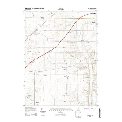
 2010 West Salem2010 Print · USGSCovers Homer Township, including West Salem, Burbank, and other nearby areas
 - 2013 Map of Polk, 2013 Print
 2013 Polk2013 Print · USGSCovers Homer Township, including Polk, Perry Township, and other nearby areas
 - 2013 Map of Sullivan, 2013 Print
 2013 Sullivan2013 Print · USGSCovers Homer Township, including Sullivan, Huntington, and other nearby areas
 - 2013 Map of Lodi, 2013 Print
 2013 Lodi2013 Print · USGSCovers Homer Township, including Lodi, Spencer, and other nearby areas
 - 2013 Map of West Salem, 2013 Print
 2013 West Salem2013 Print · USGSCovers Homer Township, including West Salem, Burbank, and other nearby areas
 - 2016 Map of Polk, 2016 Print
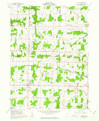
 2016 Polk2016 Print · USGSCovers Homer Township, including Polk, Perry Township, and other nearby areas
Showing maps 1-25 of 36
Top cities near Homer Township
- Wooster historical maps
- Medina historical maps
- Ashland historical maps
- Wellington historical maps
- Litchfield historical maps
- Lodi historical maps
See more
Top neighborhoods of Homer Township
Frequently asked questions
- What are the different types of historical maps available for Homer Township?
- What is the oldest map of Homer Township?
- Where can I purchase historical maps of Homer Township for my home or office?
- Where can I download high-res historical maps of Homer Township?
- Are there historical topographic maps available for Homer Township?
- Is there historical aerial imagery available for Homer Township?
- Where are historical maps of Homer Township sourced from?