Old Maps of Langsville, Ohio for Genealogy
Trace your family roots with 12 historic maps of Langsville. These high-res maps reveal old neighborhoods, homesites, landmarks, and streets — helping you uncover where your ancestors lived and how the area evolved over time.
- Explore historic neighborhoods: Identify where your relatives may have lived in the 1800s or 1900s.
- Compare maps over time: Trace the changes in streets, buildings, and landmarks for multi-generational research.
- Perfect for genealogy & ancestry research: Used by family historians and researchers to map out lineage and migration.
These maps are an incredible resource for exploring your personal connection to Langsville's past.
Langsville, OH maps
(12)- 1907 Map of Pomeroy
 1907 Pomeroy1907 Print · USGSMeigs County at the peak of the river-and-rail era shows a landscape of busy Ohio River towns and remote hillside post offices. Genealogists can trace family footprints near Pomeroy, the Bunker Hill Church, and the dual settlement of Pagetown Downingston PO.3 unique versions available
 - 1947 Map of Columbus, 1948 Print
 1947 Columbus1948 Print · USGSCentral Ohio in the late 1940s is captured in this survey, showing the post-war transition of its rail hubs and military airfield expansions. Genealogists and historians can trace the paths of the Ohio Canal, the Pennsylvania RR lines, and the Camp Sherman Military Reservation.
 - 1960 Map of Rutland, 1961 Print
 1960 Rutland1961 Print · USGSMeigs County's coal and rail landscape is captured here in the early sixties as industrial strip mining expanded across the hills. Researchers can trace family burial grounds like McCaskey Cem and follow the New York Central line through Langsville and Rutland.4 unique versions available
 - 1961 Map of Columbus
 1961 Columbus1961 Print · USGSCentral and Southern Ohio are captured here in the early sixties, as the region's industrial rail hubs and military bases reached their peak. Genealogists and historians can trace the transition from urban Columbus to rural townships along the Scioto River, locating Lockbourne USAF and old junctions like Washington Court House.
 - 1962 Map of Columbus
 1962 Columbus1962 Print · USGSCentral Ohio during the early sixties reveals a transition from the industrial corridors of Columbus to the forested ridges of the south. Genealogists and historians can trace the rail networks of the Baltimore & Ohio RR and find local landmarks like Washington Court House and Camp Sherman Military Reservation.
 - 1967 Map of Columbus, 1969 Print
 1967 Columbus1969 Print · USGSCentral Ohio during the late sixties serves as a vital corridor of rail and aviation, from the industrial streets of Springfield to the hangar lines of Lockbourne Air Force Base. Genealogists and researchers can trace the growth of towns like Circleville and London or locate rural landmarks such as St Paul church and the London Correctional Institution.2 unique versions available
 - 1980 Map of Wellston, 1982 Print
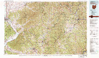 1980 Wellston1982 Print · USGSThe hill country of south-central Ohio in the early eighties shows a landscape of expansive state forests and deep-rooted river towns. Genealogists and historians can trace rural heritage through sites like Buckeye Furnace State Memorial and Mount Zion Cemetery.
 - 2010 Map of Rutland, 2010 Print
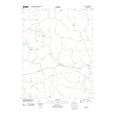 2010 Rutland2010 Print · USGSMeigs County at the start of the new millennium reveals a landscape of quiet rural settlements and deep genealogical roots. Researchers can trace family history through more than a dozen local burial sites like White Oak Cemetery and Miles Cemetery, or locate the historic Dexter Post Office along Leading Creek.
 - 2013 Map of Rutland, 2013 Print
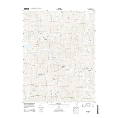 2013 Rutland2013 Print · USGSMeigs County at the start of the 2010s reveals a landscape of coal mining operations and quiet rural hamlets along Leading Creek. Researchers can locate numerous family burial sites like Vonschritz Cem and Coy Hill Cem or trace the reach of Meigs Mine Number One.
 - 2016 Map of Rutland, 2016 Print
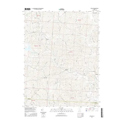 2016 Rutland2016 Print · USGSMeigs County in the mid-2010s reveals a landscape of deep creek valleys and rural hilltop settlements. Genealogists and local historians can trace family locations through numerous sites like Hugg Cem, Langsville, and the Wright Cem near Hanesville.
 - 2019 Map of Rutland, 2019 Print
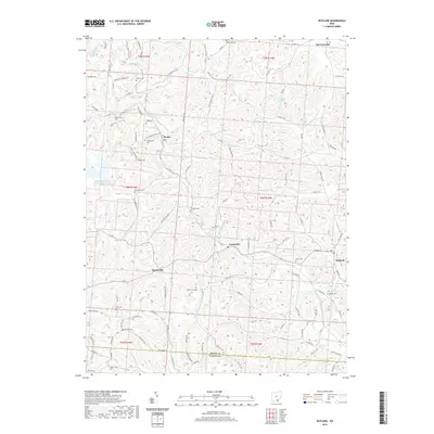 2019 Rutland2019 Print · USGSMeigs County in the late 2010s is characterized by its network of creek-side settlements and numerous upland cemeteries. Genealogists can trace family names at Longstretch Cemetery and Miles Cemetery or follow the waters of Leading Creek.
 - 2023 Map of Rutland, 2023 Print
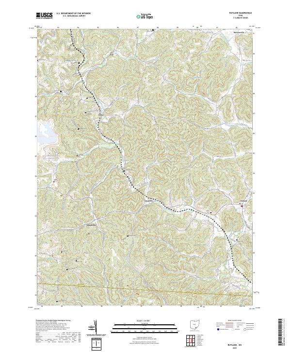 2023 Rutland2023 Print · USGSMeigs County's rural townships and family-named landmarks are documented here in the early twenty-first century. Researchers can trace ancestral sites like Longstretch Cem and Miles Cem or explore settlements at Harrisonville and Langsville.
End of results
Showing maps 1-12 of 12
Top cities near Langsville
- Point Pleasant historical maps
- Gallipolis historical maps
- Middleport historical maps
- Addison historical maps
- Pomeroy historical maps
- New Haven historical maps
See more
Frequently asked questions
- What are the different types of historical maps available for Langsville?
- What is the oldest map of Langsville?
- Where can I purchase historical maps of Langsville for my home or office?
- Where can I download high-res historical maps of Langsville?
- Are there historical topographic maps available for Langsville?
- Is there historical aerial imagery available for Langsville?
- Where are historical maps of Langsville sourced from?