2000s (21st Century) Maps of Piqua, Ohio
Explore 20 historic maps of Piqua from the 2000s (21st Century). These maps offer a rare glimpse into what life looked like during the 2000s — showing old roads, neighborhoods, homes, and landmarks that have changed or disappeared over time.
Whether you're researching your family's past, planning a metal detecting trip, or studying how Piqua's landscape evolved across the 2000s, these high-resolution maps are a powerful tool for exploring the history of this region.
- Focus on a specific era: All maps on this page are from the 2000s, giving you a focused view of this time period.
- See what’s changed: Compare century-old streets, trails, and buildings to today's modern landscape using overlays and satellite layers.
- Research with precision: Use these maps for genealogy, historical research, land use analysis, or educational projects.
- View, download, or print: Maps are fully viewable online in high resolution, and can be downloaded or printed for your own records.
Start exploring Piqua's history through authentic maps from the 2000s. This is your window into the past.
Piqua, OH maps
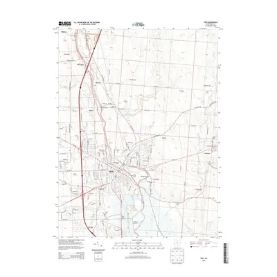
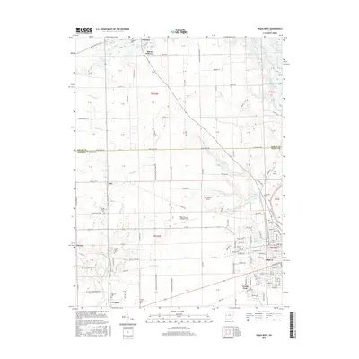
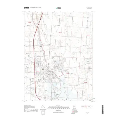
(20)- 2010 Map of Piqua West, 2010 Print
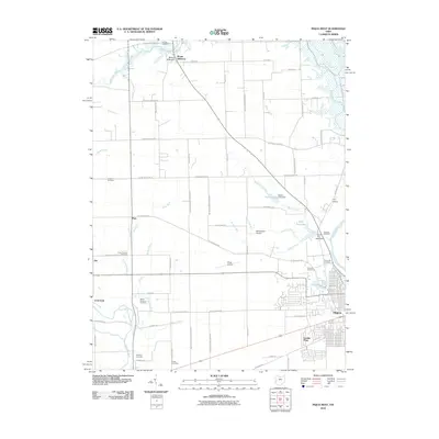 2010 Piqua West2010 Print · USGSCovers Piqua, including Covington, Polo, and other nearby areas
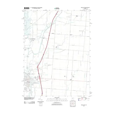
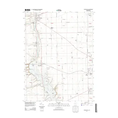
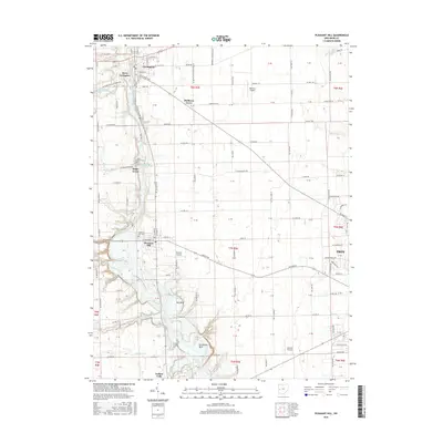
 - 2010 Map of Pleasant Hill, 2010 Print
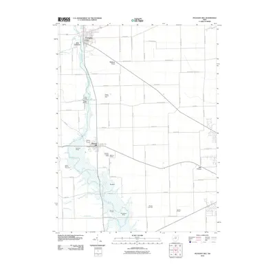 2010 Pleasant Hill2010 Print · USGSCovers Piqua, including Troy, Covington, and other nearby areas
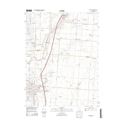
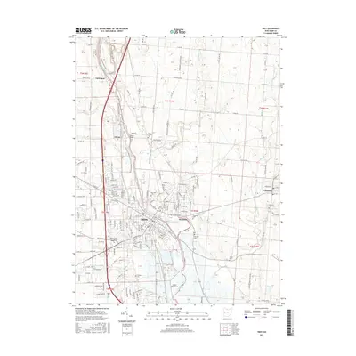
 - 2010 Map of Troy, 2010 Print
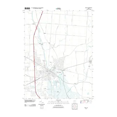 2010 Troy2010 Print · USGSCovers Piqua, including Troy, Staunton, and other nearby areas
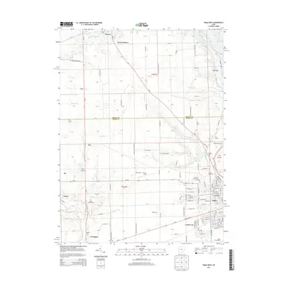
 - 2010 Map of Piqua East, 2010 Print
 2010 Piqua East2010 Print · USGSCovers Piqua, including Lockington, Rossville, and other nearby areas
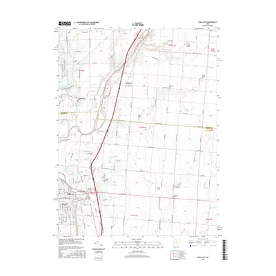
 - 2013 Map of Troy, 2013 Print
 2013 Troy2013 Print · USGSCovers Piqua, including Troy, Staunton, and other nearby areas
 - 2013 Map of Pleasant Hill, 2013 Print
 2013 Pleasant Hill2013 Print · USGSCovers Piqua, including Troy, Covington, and other nearby areas
 - 2013 Map of Piqua West, 2013 Print
 2013 Piqua West2013 Print · USGSCovers Piqua, including Covington, Polo, and other nearby areas
 - 2013 Map of Piqua East, 2013 Print
 2013 Piqua East2013 Print · USGSCovers Piqua, including Lockington, Rossville, and other nearby areas
 - 2016 Map of Piqua West, 2016 Print
 2016 Piqua West2016 Print · USGSCovers Piqua, including Covington, Polo, and other nearby areas
 - 2016 Map of Troy, 2016 Print
 2016 Troy2016 Print · USGSCovers Piqua, including Troy, Staunton, and other nearby areas
 - 2016 Map of Piqua East, 2016 Print
 2016 Piqua East2016 Print · USGSCovers Piqua, including Lockington, Rossville, and other nearby areas
 - 2016 Map of Pleasant Hill, 2016 Print
 2016 Pleasant Hill2016 Print · USGSCovers Piqua, including Troy, Covington, and other nearby areas
 - 2019 Map of Pleasant Hill, 2019 Print
 2019 Pleasant Hill2019 Print · USGSCovers Piqua, including Troy, Covington, and other nearby areas
 - 2019 Map of Piqua East, 2019 Print
 2019 Piqua East2019 Print · USGSCovers Piqua, including Lockington, Rossville, and other nearby areas
 - 2019 Map of Piqua West, 2019 Print
 2019 Piqua West2019 Print · USGSCovers Piqua, including Covington, Polo, and other nearby areas
 - 2019 Map of Troy, 2019 Print
 2019 Troy2019 Print · USGSCovers Piqua, including Troy, Staunton, and other nearby areas
 - 2023 Map of Pleasant Hill, 2023 Print
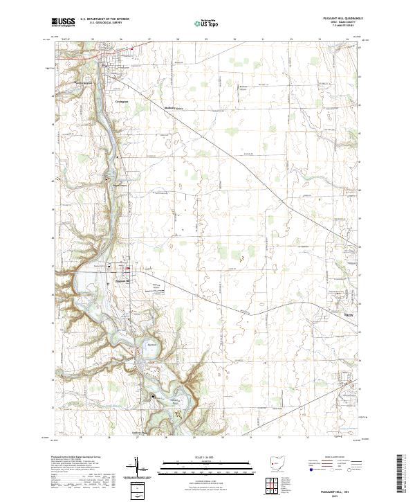 2023 Pleasant Hill2023 Print · USGSMiami County's river-carved landscape is documented here in the early twenty-first century, showing the enduring agricultural and village patterns of the Stillwater Valley. Researchers can locate family sites and landmarks like Pleasant Hill Cem, Sugar Grove, and the distinctive Horseshoe Bend.
 - 2023 Map of Piqua East, 2023 Print
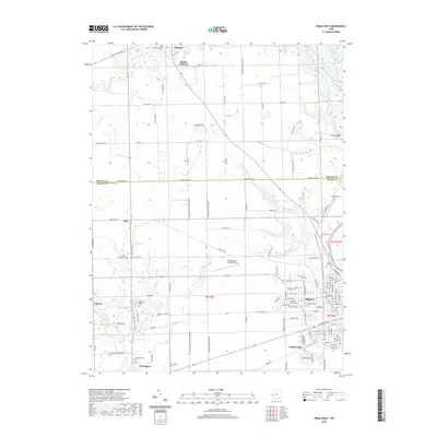
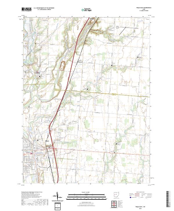 2023 Piqua East2023 Print · USGSMiami and Shelby counties come together in the early 2020s as the Great Miami River winds through Piqua and Lockington. Genealogists and historians can trace numerous family burial sites, including Old Reformed Cem, Cecil Cem, and Orange Chapel Cem.
 - 2023 Map of Troy, 2023 Print
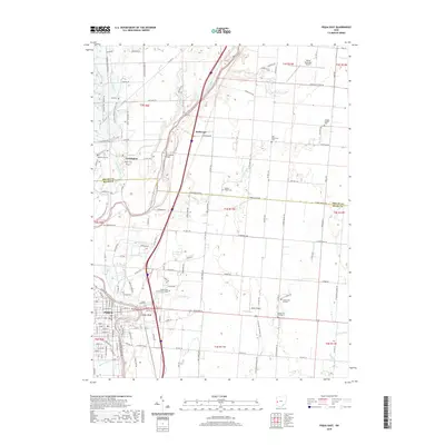
 2023 Troy2023 Print · USGSThe Great Miami River valley in the early twenty-first century reveals a landscape shaped by historical settlements and contemporary growth. Genealogists can trace family history through several local sites including Raper Chapel Cem, Old Blue Cem, and Staunton Cem.
 - 2023 Map of Piqua West, 2023 Print
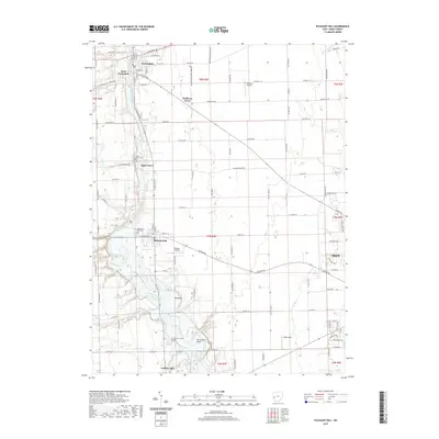
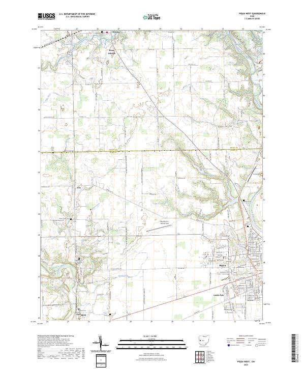 2023 Piqua West2023 Print · USGSWestern Ohio at the edge of the Great Miami River reveals a landscape of rural cemeteries and aviation history. Trace family roots at Highland Cem or Forest Hill Cem, and explore old settlements like Houston and Polo.
End of results
Showing maps 1-20 of 20
Top cities near Piqua
- Troy historical maps
- Sidney historical maps
- Tipp City historical maps
- New Carlisle historical maps
- West Milton historical maps
- Versailles historical maps
See more
Top neighborhoods of Piqua
Frequently asked questions
- What are the different types of historical maps available for Piqua?
- What is the oldest map of Piqua?
- Where can I purchase historical maps of Piqua for my home or office?
- Where can I download high-res historical maps of Piqua?
- Are there historical topographic maps available for Piqua?
- Is there historical aerial imagery available for Piqua?
- Where are historical maps of Piqua sourced from?