2000s (21st Century) Maps of Salem Township, Ohio
Explore 21 historic maps of Salem Township from the 2000s (21st Century). These maps offer a rare glimpse into what life looked like during the 2000s — showing old roads, neighborhoods, homes, and landmarks that have changed or disappeared over time.
Whether you're researching your family's past, planning a metal detecting trip, or studying how Salem Township's landscape evolved across the 2000s, these high-resolution maps are a powerful tool for exploring the history of this region.
- Focus on a specific era: All maps on this page are from the 2000s, giving you a focused view of this time period.
- See what’s changed: Compare century-old streets, trails, and buildings to today's modern landscape using overlays and satellite layers.
- Research with precision: Use these maps for genealogy, historical research, land use analysis, or educational projects.
- View, download, or print: Maps are fully viewable online in high resolution, and can be downloaded or printed for your own records.
Start exploring Salem Township's history through authentic maps from the 2000s. This is your window into the past.
Salem Township, OH maps
(21)- 2002 Map of Round Bottom, 2006 Print
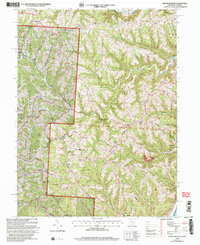 2002 Round Bottom2006 Print · USGSThe riverfront communities of Monroe County thrive along the Ohio River at the start of the twenty-first century. Genealogists and historians can trace numerous rural landmarks like Winklers Mill, Chapel Hill Ch, and the Emma Grove Cem.
 - 2010 Map of Cameron, 2010 Print
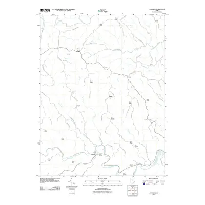 2010 Cameron2010 Print · USGSMonroe County's ridgeline settlements and winding creek valleys are captured here in the early twenty-first century. Researchers can locate numerous family burial grounds including Grandview, Zion Methodist, and Hartline near the village of Cameron.
 - 2011 Map of New Martinsville, 2011 Print
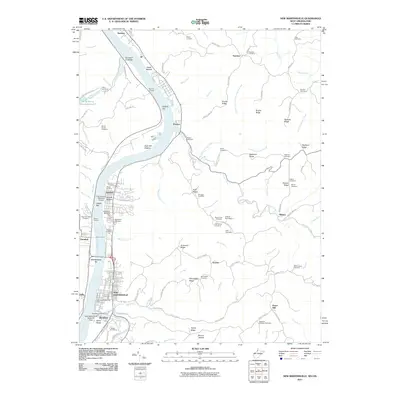 2011 New Martinsville2011 Print · USGSThe Ohio River waterfront at New Martinsville and Hannibal is captured here during the early twenty-first century. Genealogists and historians can trace numerous upland burial sites like Moore Cemetery or locate river landmarks such as Hooks Bar and the New Martinsville Seaplane Base.
 - 2011 Map of Powhatan Point, 2011 Print
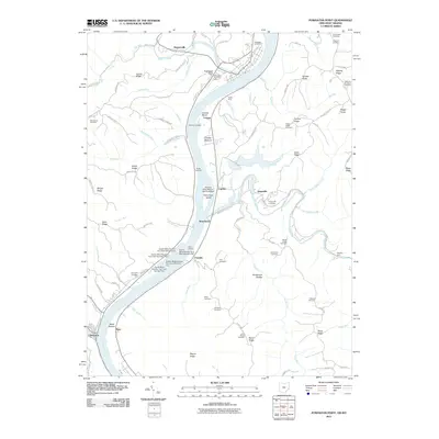 2011 Powhatan Point2011 Print · USGSThe Ohio River valley near Powhatan Point is captured here in the early 2000s, showcasing a landscape of industrial river landings and steep ridge-top cemeteries. You can trace family roots at Graysville Cemetery or Mount Hobart Cemetery and locate vanished river infrastructure near Cresap Bend.
 - 2011 Map of Round Bottom, 2011 Print
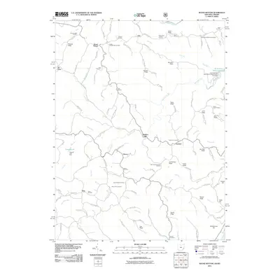 2011 Round Bottom2011 Print · USGSMonroe County and the Ohio River borderlands are shown here in the early twenty-first century, revealing a landscape deeply rooted in family history. Researchers can trace numerous local lineages through sites like Winklers Mill, Kraft Cemetery, and Mount Zion Cemetery.
 - 2013 Map of Cameron, 2013 Print
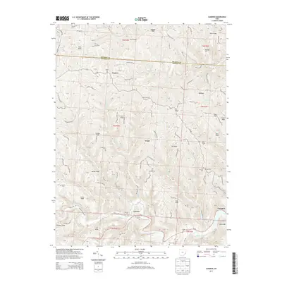 2013 Cameron2013 Print · USGSMonroe County upland life and ridge-top farming are meticulously documented in this modern survey of the Sunfish Creek watershed. Researchers can locate numerous family burial sites and rural crossroads like Bingham, Zion Methodist Cem, and Hartline Cem.
 - 2013 Map of Powhatan Point, 2013 Print
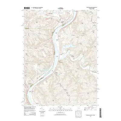 2013 Powhatan Point2013 Print · USGSThe Ohio River valley at the border of Ohio and West Virginia reveals a landscape of industrial dams and historic riverfront hamlets. Genealogists can locate numerous upland burial sites like Grace Chapel Cem and Ebenezer Cem near the settlements of Powhatan Point and Clarington.
 - 2013 Map of Round Bottom, 2013 Print
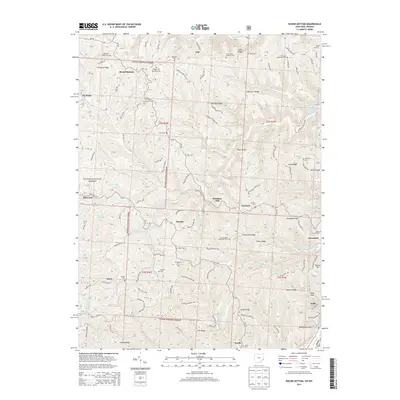 2013 Round Bottom2013 Print · USGSMonroe County's riverfront and ridge-top communities are documented here in the early 21st century, showing the enduring layout of the Ohio River valley. Genealogists can trace family landmarks at Saint Johns Methodist Cem, Emma Grove Cem, and the old settlement at Winklers Mill.
 - 2014 Map of New Martinsville, 2014 Print
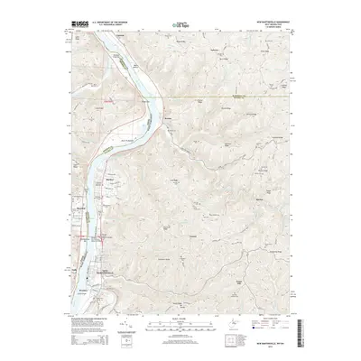 2014 New Martinsville2014 Print · USGSThe Ohio River valley at the border of West Virginia and Ohio is captured here in the early 2010s, showing the riverside growth of New Martinsville and Steelton. Family history researchers can locate numerous upland burial sites and landmarks like Apostolic Christian Cem and Schupbach Ridge.
 - 2016 Map of New Martinsville, 2016 Print
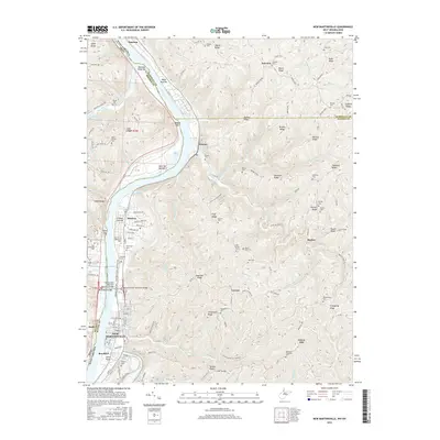 2016 New Martinsville2016 Print · USGSThe West Virginia riverfront at New Martinsville and Steelton comes into focus in this recent survey. Researchers can trace family history through dozens of ridge-top burial sites like Huff Family Cemetery and landmarks such as American Ridge.
 - 2016 Map of Round Bottom, 2016 Print
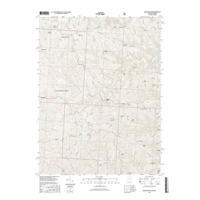 2016 Round Bottom2016 Print · USGSMonroe County, Ohio, is documented here in the mid-2010s, showing a river-border landscape of steep ridges and historic Methodist settlements. Genealogists can locate family burial sites like Mount Sinai Methodist Cem and trace old roads leading to Winklers Mill and Benwood.
 - 2016 Map of Cameron, 2016 Print
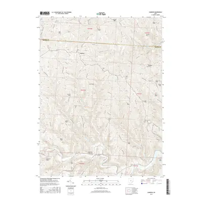 2016 Cameron2016 Print · USGSMonroe and Belmont Counties are shown here during the mid-2010s, capturing the enduring rural character of this ridge-and-valley landscape. Genealogists can trace family heritage through numerous hillside burial sites like Zion Methodist Cemetery, Captina Cem, and Old Case Cem.
 - 2016 Map of Powhatan Point, 2016 Print
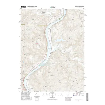 2016 Powhatan Point2016 Print · USGSThe Ohio River valley near the Monroe and Belmont county lines shows a landscape of deep ridges and industrial development in the 2010s. Genealogists can locate family burial sites like Saint Johns Cem and Ebenezer Cem or trace the historic Warrior Trail.
 - 2019 Map of Cameron, 2019 Print
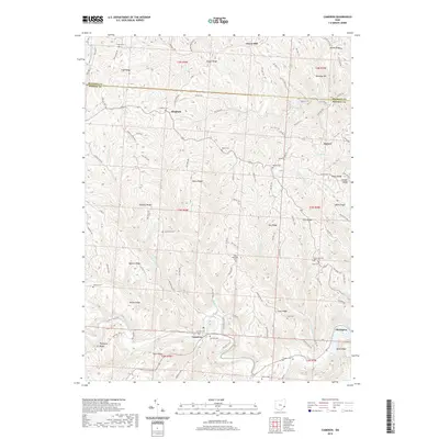 2019 Cameron2019 Print · USGSMonroe County at the end of the 2010s reveals a landscape of high ridges and deep creek valleys where rural life persists. Researchers can locate family heritage sites across the summits, from Grandview Cem on its ridge to the village of Cameron along the banks of Sunfish Creek.
 - 2019 Map of Round Bottom, 2019 Print
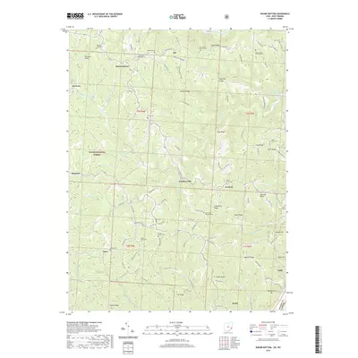 2019 Round Bottom2019 Print · USGSMonroe County's riverfront and ridge-top communities are documented here during the late twenty-teens. Researchers can trace family history through numerous upland burial sites like Chapel Hill-Methodist Cem and follow old routes to Winklers Mill or Dairy.
 - 2019 Map of Powhatan Point, 2019 Print
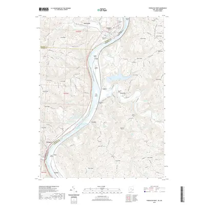 2019 Powhatan Point2019 Print · USGSThe Ohio River valley and its industrial corridors are captured here in the late twenty-teens, showing the intersection of river life and ridge settlements. Researchers can locate numerous family burial sites like Fredonia Cem and Grace Chapel Cem, or trace industrial infrastructure such as Quarto Mine Number Four Dam Number Three.
 - 2019 Map of New Martinsville, 2019 Print
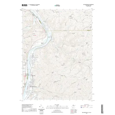 2019 New Martinsville2019 Print · USGSNew Martinsville and the Ohio River valley are shown here in the late 2010s, illustrating the enduring relationship between the river and the high West Virginia ridges. Genealogists can locate family landmarks like Northview Cem, Gravel Bottom, and the Richard Snyder Memorial Bridge.
 - 2023 Map of Cameron, 2023 Print
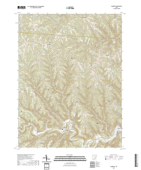 2023 Cameron2023 Print · USGSSoutheast Ohio's ridge-and-hollow country is documented here in the early twenty-first century, showing the enduring rural layout of Monroe County. Genealogists can trace ancestral sites at Zion Methodist Cem, Grandview Cem, and the village of Cameron.
 - 2023 Map of Powhatan Point, 2023 Print
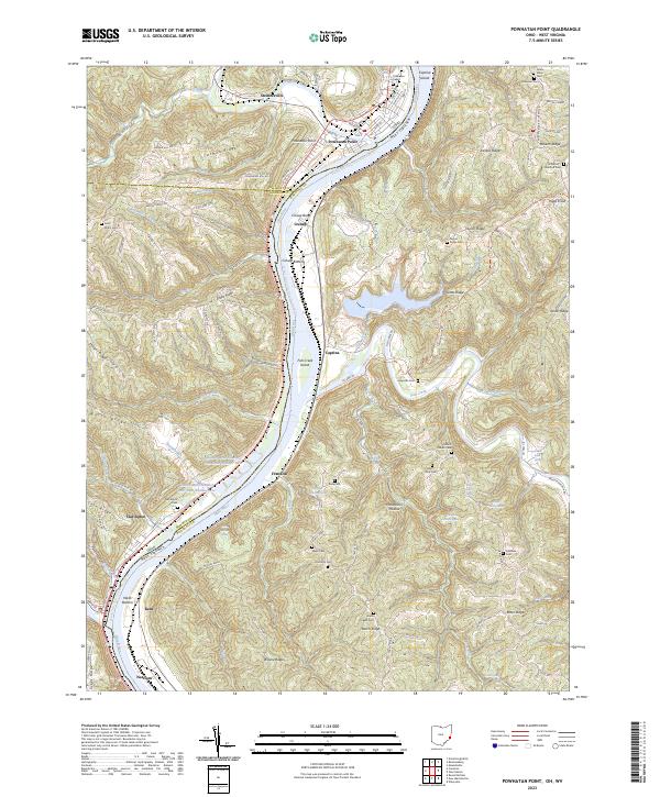 2023 Powhatan Point2023 Print · USGSThe Ohio River borderlands at the turn of the decade reveal a complex landscape of industrial mining and deep-rooted river towns. Researchers can trace historic family burial sites like Saint Johns Cem and Grace Chapel Cem alongside modern operations at Quarto Mine Number Four Dam Number Two.
 - 2023 Map of New Martinsville, 2023 Print
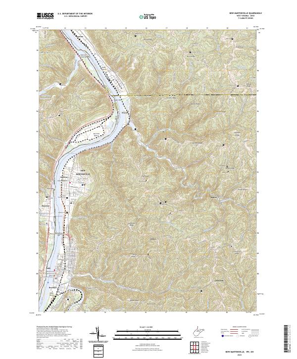 2023 New Martinsville2023 Print · USGSWetzel County, West Virginia, is shown here in its modern configuration where river-bottom settlements meet the high ridges of the Ohio Valley. Genealogists can trace family footprints across dozens of sites like Huff Family Cem, the Wetzel County Courthouse, and the riverfront streets of New Martinsville.
 - 2023 Map of Round Bottom, 2023 Print
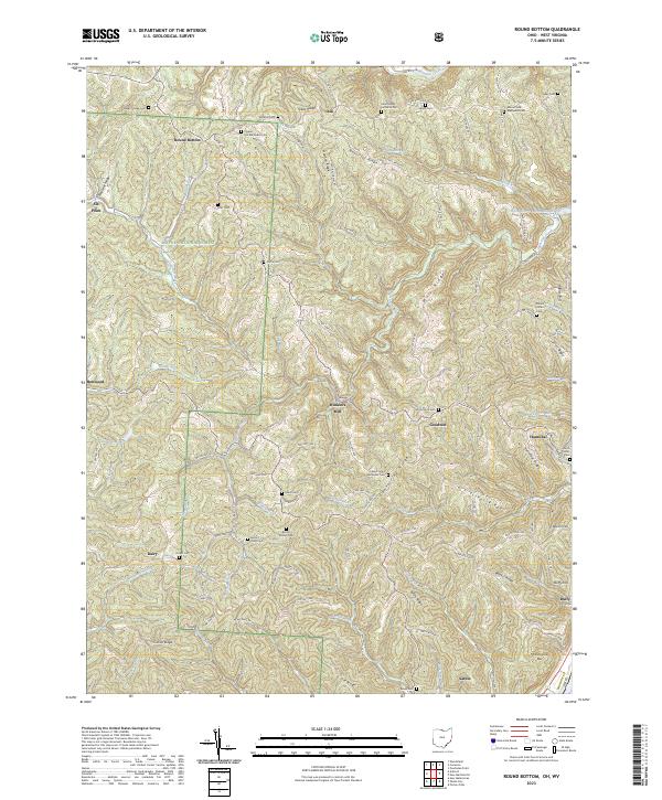 2023 Round Bottom2023 Print · USGSMonroe County, Ohio, remains a landscape of deep ridges and river towns in this modern survey. Genealogists can trace family landmarks like Winklers Mill, Saint Johns Methodist Cem, and McIntire Cem across the high ground above the Ohio River.
End of results
Showing maps 1-21 of 21
Top cities near Salem Township
- Moundsville historical maps
- New Martinsville historical maps
- Shadyside historical maps
- Woodsfield historical maps
- McMechen historical maps
- Glen Dale historical maps
See more
Top neighborhoods of Salem Township
Frequently asked questions
- What are the different types of historical maps available for Salem Township?
- What is the oldest map of Salem Township?
- Where can I purchase historical maps of Salem Township for my home or office?
- Where can I download high-res historical maps of Salem Township?
- Are there historical topographic maps available for Salem Township?
- Is there historical aerial imagery available for Salem Township?
- Where are historical maps of Salem Township sourced from?