Old Maps of Sunsbury Township, Ohio for Metal Detecting
Plan your next treasure hunt with 25 historic maps of Sunsbury Township. Find old homesites, ghost towns, trails, and gathering spots that may be lost to time — perfect for identifying promising metal detecting locations.
- Locate forgotten sites: Uncover places like long-lost settlements, abandoned rail lines, or gathering spots.
- Plan better hunts: Use map overlays combined with LiDAR or satellite views to narrow in on historically rich areas.
- Made for detectorists: Thousands of hobbyists use these maps to discover relics, coins, and hidden history.
Use these historic maps to boost your research and find new opportunities beneath the surface of Sunsbury Township.
Sunsbury Township, OH maps
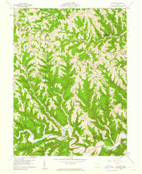
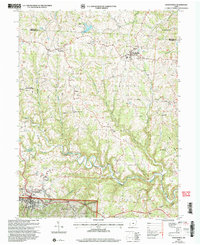
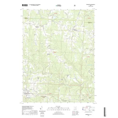
(25)- 1905 Map of Clarington, 1913 Print
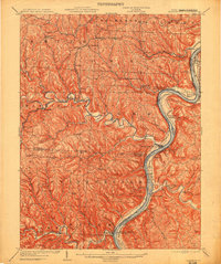 1905 Clarington1913 Print · USGSThe Ohio River valley at the turn of the century shows a bustling corridor of coal mining and rail transport between Ohio and West Virginia. Genealogists can locate family homesteads near Armstrongs Mills, Powhatan Point, and several rural post offices like Welcome P.O.
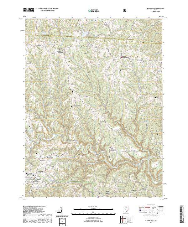
 - 1905 Map of Woodsfield, 1946 Print
 1905 Woodsfield1946 Print · USGSMonroe and Belmont counties are shown here in the first years of the twentieth century, when the rural landscape was tied together by small postal hubs and creek-side settlements. Genealogists can trace early homesteads near Baileys Mills, Somerton, or Beallsville along the Baltimore and Ohio RR.2 unique versions available
 - 1935 Map of Clarington, 1957 Print
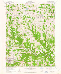
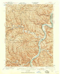 1935 Clarington1957 Print · USGSThe Ohio River valley during the mid-1930s reveals a landscape of ridge-top schools and creek-side coal works. Genealogists can locate family landmarks like McLain Chapel, Centerville Demos P.O., and the Woodland Hill Sch.2 unique versions available
 - 1940 Map of Clarington
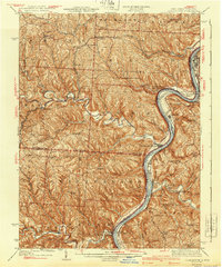 1940 Clarington1940 Print · USGSThe Ohio River borderlands between Belmont, Monroe, and Marshall counties are captured here just before the mid-century industrial shift. Genealogists can trace family names and small-town roots at Armstrongs Mills, McLain Chapel, and many rural schoolhouses like Mt Hobart Sch.
 - 1949 Map of Clarksburg
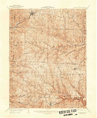
 1949 Clarksburg1949 Print · USGSThe upper Ohio River valley and the industrial heart of West Virginia come into focus during this post-war period. Genealogists and researchers can trace the rail corridors of the Baltimore and Ohio and locate centers like Fairmont, Grafton, and Waynesburg.
 - 1956 Map of Clarksburg, 1966 Print
 1956 Clarksburg1966 Print · USGSThe Ohio River valley and the industrial heart of West Virginia are seen here in the mid-1950s as rail and river commerce thrived. Researchers can trace historic transport lines like the Baltimore and Ohio RR and locate ancestral homes in Clarksburg, Moundsville, or Parkersburg.2 unique versions available
 - 1960 Map of Cameron, 1962 Print
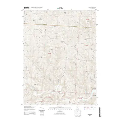
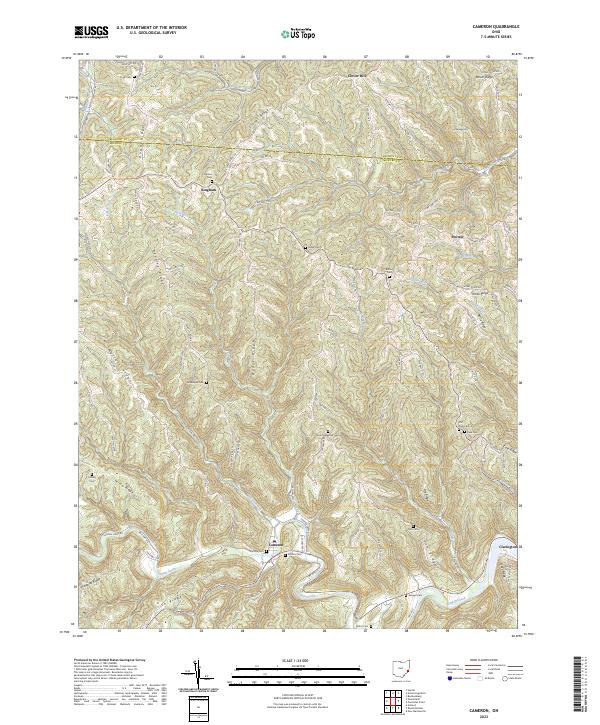
 1960 Cameron1962 Print · USGSMonroe County in the early sixties remains a landscape of high ridges and deep hollows where rural life followed the contours of the land. Genealogists and historians can trace family roots at Pugh Cem, find the rural crossroads of Cameron, and locate old landmarks like Zion Ch.4 unique versions available
 - 1961 Map of Clarksburg
 1961 Clarksburg1961 Print · USGSThe mid-century industrial and river landscapes of West Virginia and Ohio are detailed here, centered on the Ohio River. Researchers can trace the Baltimore and Ohio rail lines connecting towns like Parkersburg, Clarksburg, and Monongah.
 - 1961 Map of Woodsfield, 1963 Print
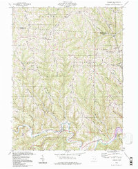
 1961 Woodsfield1963 Print · USGSMonroe County's ridgelands and valleys come into focus in the early sixties, showing a landscape of small farms and gas wells. Genealogists can locate family landmarks like Pioneer Cem, Asbury Chapel, and the village of Beallsville.3 unique versions available
 - 1980 Map of Senecaville, 1983 Print
 1980 Senecaville1983 Print · USGSEastern Ohio at the start of the eighties reveals a complex landscape of coal extraction and river commerce. Genealogists and historians can trace rail lines like the Conrail and Baltimore and Ohio RR connecting towns like Byesville and Woodsfield.2 unique versions available
 - 1984 Map of Moundsville
 1984 Moundsville1984 Print · USGSThe Ohio River valley and the Appalachian interior meet in the mid-eighties as a hub of rail and river commerce. Genealogists and historians can trace the development of river towns like New Martinsville, inland hubs like Waynesburg, and the path of the B & O RR.
 - 1988 Map of Clarksburg, 1989 Print
 1988 Clarksburg1989 Print · USGSThe central Appalachians are documented in detail during the late eighties, showing the industrial and river-based economies of West Virginia, Ohio, and Pennsylvania. Researchers can trace historic rail routes like the B & O RR and locate river towns from St Marys to Parkersburg.
 - 1994 Map of Cameron, 1998 Print
 1994 Cameron1998 Print · USGSMonroe County’s high ridges and deep hollows are captured here in the late twentieth century, showing a landscape of persistent rural settlements. Genealogists can locate family-named landmarks like Pugh Ridge and old meeting houses such as Captain Ch or Mellott Ridge Ch.
 - 1994 Map of Woodsfield, 1998 Print
 1994 Woodsfield1998 Print · USGSMonroe County hills in the late twentieth century show a landscape of high ridge settlements and deep creek hollows. Genealogists can trace family landmarks like Asbury Chapel Cem, Harmon Cem, and the old County Home near Woodsfield.
 - 2002 Map of Woodsfield, 2006 Print
 2002 Woodsfield2006 Print · USGSMonroe County at the turn of the millennium shows a landscape shaped by ridge-top settlements and winding creek valleys. Trace family history at Hope Ridge Cem or Ashbury Chapel, and locate landmarks from Woodsfield to the Wayne National Forest.
 - 2010 Map of Cameron, 2010 Print
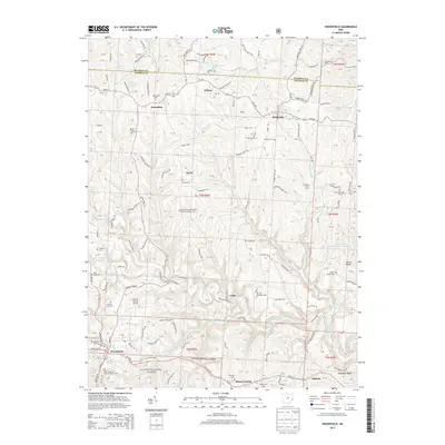
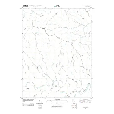 2010 Cameron2010 Print · USGSCovers Sunsbury Township, including Clarington, Clover Hill, and other nearby areas
 - 2011 Map of Woodsfield, 2011 Print
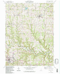
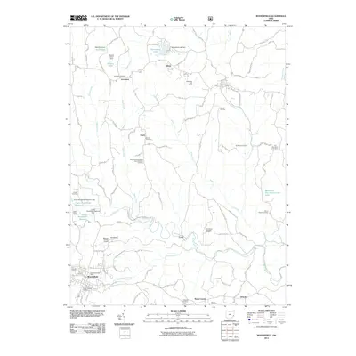 2011 Woodsfield2011 Print · USGSCovers Sunsbury Township, including Woodsfield, Beallsville, and other nearby areas
 - 2013 Map of Cameron, 2013 Print
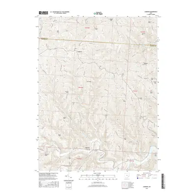
 2013 Cameron2013 Print · USGSCovers Sunsbury Township, including Clarington, Clover Hill, and other nearby areas
 - 2013 Map of Woodsfield, 2013 Print
 2013 Woodsfield2013 Print · USGSCovers Sunsbury Township, including Woodsfield, Beallsville, and other nearby areas
 - 2016 Map of Cameron, 2016 Print
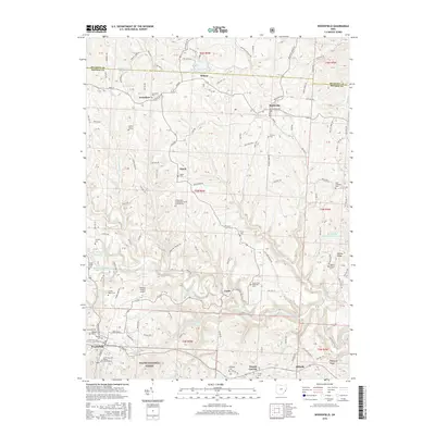
 2016 Cameron2016 Print · USGSCovers Sunsbury Township, including Clarington, Clover Hill, and other nearby areas
 - 2016 Map of Woodsfield, 2016 Print
 2016 Woodsfield2016 Print · USGSCovers Sunsbury Township, including Woodsfield, Beallsville, and other nearby areas
 - 2019 Map of Cameron, 2019 Print
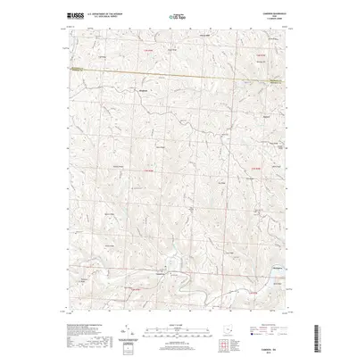 2019 Cameron2019 Print · USGSCovers Sunsbury Township, including Clarington, Clover Hill, and other nearby areas
 - 2019 Map of Woodsfield, 2019 Print
 2019 Woodsfield2019 Print · USGSCovers Sunsbury Township, including Woodsfield, Beallsville, and other nearby areas
 - 2023 Map of Woodsfield, 2023 Print
 2023 Woodsfield2023 Print · USGSSoutheastern Ohio’s ridgeline settlements and deep creek valleys are captured here in the early twenty-first century. Researchers can locate family sites at Jerusalem Cem or Asbury Chapel Cem and trace the terrain from Mount Carrick to the Wayne National Forest.
 - 2023 Map of Cameron, 2023 Print
 2023 Cameron2023 Print · USGSSoutheast Ohio's ridge-and-hollow country is documented here in the early twenty-first century, showing the enduring rural layout of Monroe County. Genealogists can trace ancestral sites at Zion Methodist Cem, Grandview Cem, and the village of Cameron.
End of results
Showing maps 1-25 of 25
Top cities near Sunsbury Township
- New Martinsville historical maps
- Barnesville historical maps
- Woodsfield historical maps
- Powhatan Point historical maps
- Bethesda historical maps
- Malaga historical maps
See more
Top neighborhoods of Sunsbury Township
Frequently asked questions
- What are the different types of historical maps available for Sunsbury Township?
- What is the oldest map of Sunsbury Township?
- Where can I purchase historical maps of Sunsbury Township for my home or office?
- Where can I download high-res historical maps of Sunsbury Township?
- Are there historical topographic maps available for Sunsbury Township?
- Is there historical aerial imagery available for Sunsbury Township?
- Where are historical maps of Sunsbury Township sourced from?