Old Maps of Montgomery County, Ohio for Genealogy
Trace your family roots with 116 historic maps of Montgomery County. These high-res maps reveal old neighborhoods, homesites, landmarks, and streets — helping you uncover where your ancestors lived and how the area evolved over time.
- Explore historic neighborhoods: Identify where your relatives may have lived in the 1800s or 1900s.
- Compare maps over time: Trace the changes in streets, buildings, and landmarks for multi-generational research.
- Perfect for genealogy & ancestry research: Used by family historians and researchers to map out lineage and migration.
These maps are an incredible resource for exploring your personal connection to Montgomery County's past.
Montgomery County, OH maps
(116)- 1904 Map of Dayton, 1956 Print
 1904 Dayton1956 Print · USGSThe Miami Valley at the dawn of the 1900s shows a landscape transformed by the Miami and Erie Canal and a dense network of interurban electric railways. Researchers can trace historic river communities like Osborn and Tipp City or follow the early path of the National Road.
 - 1905 Map of Brookville, 1953 Print
 1905 Brookville1953 Print · USGSWestern Montgomery County in the early 1900s shows a landscape of rail-connected farming towns and early river management. Trace the path of the historic National Road through Arlington or locate family sites near Shiloh Church and Harshbarger Schoolhouse.
 - 1906 Map of Dayton, 1935 Print
 1906 Dayton1935 Print · USGSThe Dayton region in the early twentieth century shows a landscape transitioning from the canal era to the age of electric interurbans and railroads. Trace the original sites of Osborn and Fairfield or locate the path of the Miami and Erie Canal.2 unique versions available
 - 1908 Map of Miamisburg, 1948 Print
 1908 Miamisburg1948 Print · USGSThe Miami Valley at the start of the twentieth century was a hub of electric traction lines and canal history. Genealogists and historians can trace the early layouts of Miamisburg and Franklin, or locate landmarks like Browns Chapel and the National Military Home.
 - 1913 Map of Waynesville
 1913 Waynesville1913 Print · USGSThe Miami and Erie Canal and a dense network of electric railways define this Ohio landscape in the decade before the Great War. Researchers can trace the early footprints of Waynesville, Centerville, and Springboro alongside rural landmarks like Washington Mills and Lantz School.
 - 1915 Map of Waynesville, 1942 Print
 1915 Waynesville1942 Print · USGSThe Dayton suburbs and Warren County countryside are captured here just before the Great War, during the heyday of electric interurban rail. Genealogists can locate specific local landmarks like Lantz School, Wittes Corners, and the historic community of Shakertown.
 - 1951 Map of Franklin, 1953 Print
 1951 Franklin1953 Print · USGSThe industrial corridor of the Great Miami River valley thrives in the early 1950s as a major rail hub for the New York Central and Baltimore and Ohio. Genealogists can trace family landmarks like Swartzel Cem and Stettler Ch or locate the ancient Indian Mound overlooking the river.
 - 1953 Map of Cincinnati, 1965 Print
 1953 Cincinnati1965 Print · USGSThe Ohio River valley and the industrial heartland of Indiana and Ohio are captured here during the mid-century peak of rail and river commerce. Genealogists and historians can trace connections between Cincinnati and outlying military sites like Camp Atterbury and Bakalar AFB.3 unique versions available
 - 1955 Map of Miamisburg, 1956 Print
 1955 Miamisburg1956 Print · USGSThe industrial corridor of the Great Miami River valley thrived in the mid-fifties as rail lines and new highways connected growing towns. Genealogists and historians can locate family plots at Trissel Cem, trace the grounds of the Veterans Administration Center, or find old schools like the Mark Twain Sch.2 unique versions available
 - 1955 Map of Waynesville, 1956 Print
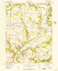 1955 Waynesville1956 Print · USGSThe Little Miami River valley in the mid-fifties remains a landscape of small railroad hamlets and historic church communities. Genealogists and historians can trace family locations near Waynesville, Spring Valley, and the now-submerged banks of Caesar Creek.2 unique versions available
 - 1955 Map of Dayton South, 1956 Print
 1955 Dayton South1956 Print · USGSSouth of Dayton in the mid-fifties, the landscape was quickly transitioning from farmland to suburban hubs like Kettering and Moraine. Researchers can trace old neighborhood boundaries and find local landmarks such as Alexandersville, University of Dayton, and the Gentile Depot.
 - 1955 Map of Bellbrook, 1956 Print
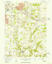 1955 Bellbrook1956 Print · USGSThe Greene County countryside near Bellbrook is caught in a moment of mid-century transition as suburban growth reaches toward the Little Miami River. Genealogists can trace old family footprints at Pioneer Cemetery, Washington Mills, and several rural churches including Mt Zion Ch.
 - 1955 Map of West Milton, 1956 Print
 1955 West Milton1956 Print · USGSMiami and Montgomery counties in the mid-fifties reveal a landscape of river-bend settlements and rural townships. Trace family roots at Wheelock Cem, locate the old Township Sch, or find the Drive-in Theater near the Stillwater River.5 unique versions available
 - 1955 Map of Tipp City, 1956 Print
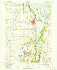 1955 Tipp City1956 Print · USGSMiami County and Montgomery County meet along the river in the mid-fifties as the region transitions from its canal-era roots to a modern aviation hub. Genealogists can trace family landmarks like English Cemetery or Middle District Church while following the historic Miami and Erie Canal.
 - 1955 Map of Springboro, 1956 Print
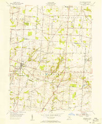 1955 Springboro1956 Print · USGSWarren and Montgomery Counties are captured here in the mid-1950s, showing a traditional farming landscape on the cusp of modern growth. Researchers can locate old family burial grounds like Rehoboth Cem and small rural hubs including Lytle, Ridgeville, and Pekin.
 - 1955 Map of New Carlisle, 1956 Print
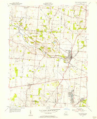 1955 New Carlisle1956 Print · USGSIn the mid-1950s, the rural borderlands between Miami and Clark Counties centered on the growing town of New Carlisle. Genealogists and researchers can trace family landmarks like Walnut Grove Cem, McKendree Ch, and the many schools and cemeteries dotting the Honey Creek valley.4 unique versions available
 - 1955 Map of Trotwood, 1956 Print
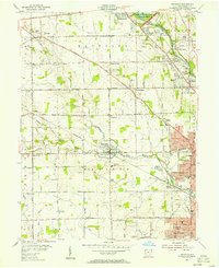 1955 Trotwood1956 Print · USGSThe outskirts of Dayton in the mid-fifties reveal a transition from rural townships to growing suburbs along the Stillwater River. Trace old homesteads and local landmarks like Happy Corners, Cedar Hill Cem, and the Stillwater Sanitarium.
 - 1955 Map of Fairborn, 1957 Print
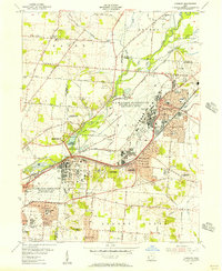 1955 Fairborn1957 Print · USGSGreene County is defined by the massive expansion of the Wright-Patterson Air Force Base during the mid-fifties. Researchers can trace the growth of Fairborn, locate the Wright Bros Memorial, and find family-named landmarks like the John Cox Cemetery.
 - 1955 Map of Dayton North, 1957 Print
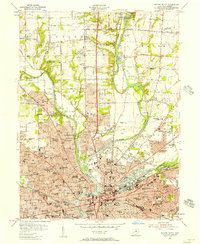 1955 Dayton North1957 Print · USGSNorth Dayton and its river valleys are captured here in the mid-fifties, showing a landscape defined by flood control and post-war suburban growth. Genealogists and historians can locate the Orville Wright Home, the Quaker Cem, and local rail stops like Johnson Station.
 - 1957 Map of Cincinnati
 1957 Cincinnati1957 Print · USGSThe Ohio River valley and its surrounding highlands thrived during the mid-fifties industrial peak, centered on the bustling Cincinnati and Dayton metropolitan hubs. Researchers can trace the extensive rail networks and military sites like Wright-Patterson AFB and Camp Atterbury.
 - 1959 Map of Middletown, 1961 Print
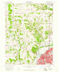 1959 Middletown1961 Print · USGSThe Miami Valley in the late fifties shows a region in transition between its river-and-rail origins and the modern industrial era. Genealogists can trace family names through the Elk Creek Cem, Astoria Cem, and local school locations like Madison High Sch.5 unique versions available
 - 1960 Map of Farmersville, 1962 Print
 1960 Farmersville1962 Print · USGSFarmersville and western Montgomery County appear in the early 1960s as a landscape of productive farmsteads and managed river valleys. Researchers can trace rural life via the Township Sch, family-named roads like Moses Road, and the Germantown Dam.4 unique versions available
 - 1961 Map of Laura, 1962 Print
 1961 Laura1962 Print · USGSWestern Ohio farm country and quiet crossroads villages thrive in the early sixties across this multi-county border. Genealogists can trace family names through Mote Cem and Swank Cem or locate old homesteads near Potsdam and Pittsburg.2 unique versions available
 - 1961 Map of Brookville, 1962 Print
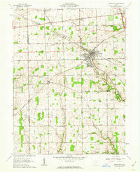 1961 Brookville1962 Print · USGSBrookville and the surrounding townships of Montgomery and Preble counties appear here in the early 1960s as the regional rail and road networks matured. Genealogists can locate family sites near Wolf Creek Ch, Pleasant Hill Cem, and the crossroads at Pyrmont.3 unique versions available
 - 1965 Map of Franklin, 1967 Print
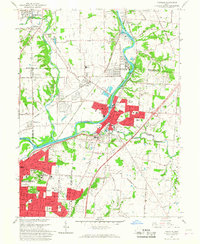 1965 Franklin1967 Print · USGSMiddletown and Franklin thrive along the river and rail corridors of the Miami Valley in the mid-1960s. Genealogists and researchers can trace local landmarks like Wood Hill Cemetery, Stettler Ch, and the sprawling Mound Laboratory (AEC) complex.5 unique versions available
Showing maps 1-25 of 116
Top cities of Montgomery County
- Dayton historical maps
- Kettering historical maps
- Huber Heights historical maps
- Trotwood historical maps
- Centerville historical maps
- Riverside historical maps
See more
Frequently asked questions
- What are the different types of historical maps available for Montgomery County?
- What is the oldest map of Montgomery County?
- Where can I purchase historical maps of Montgomery County for my home or office?
- Where can I download high-res historical maps of Montgomery County?
- Are there historical topographic maps available for Montgomery County?
- Is there historical aerial imagery available for Montgomery County?
- Where are historical maps of Montgomery County sourced from?