Old Maps of Montgomery County, Ohio
Explore 36 old maps of Montgomery County, spanning from 1904 to today. These high-resolution historic maps reveal how streets, neighborhoods, landmarks, and natural features evolved over time — perfect for genealogy, metal detecting, research, and local history exploration.
What you can do with these maps:
- See how Montgomery County changed over time: Compare historical maps to modern-day views to trace roads, homesites, rail lines & more.
- View detailed metadata: Each map includes creators, publishers, year, scale, and archive source.
- Overlay maps with satellite & LiDAR: Visualize the past alongside modern tools to explore terrain & human change.
- Trusted historical sources: Maps sourced from the USGS, Library of Congress, and other archives.
- Access maps your way: View online, download high-res files, or order prints for personal or research use.
Start exploring old maps of Montgomery County to uncover forgotten places, hidden landmarks, and the deep history beneath your feet.
Montgomery County, OH maps
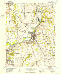
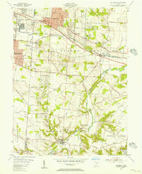
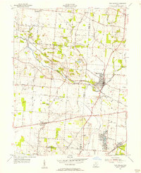
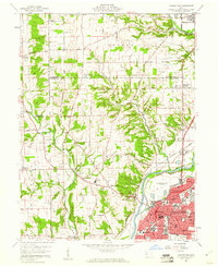
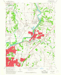
(36)- 1904 Map of Dayton, 1956 Print
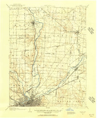 1904 Dayton1956 Print · USGSCovers Montgomery County, including Dayton, Beavercreek, and other nearby areas
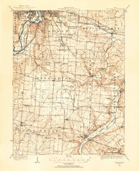
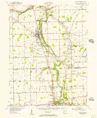
 - 1905 Map of Brookville, 1953 Print
 1905 Brookville1953 Print · USGSCovers Montgomery County, including Dayton, Trotwood, and other nearby areas
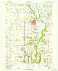
 - 1906 Map of Dayton, 1935 Print
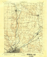 1906 Dayton1935 Print · USGSCovers Montgomery County, including Dayton, Beavercreek, and other nearby areas2 unique versions available
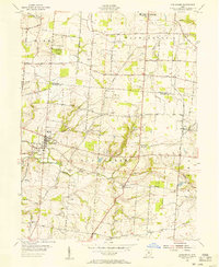
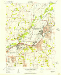
 - 1908 Map of Miamisburg, 1948 Print
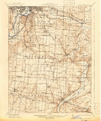
 1908 Miamisburg1948 Print · USGSCovers Montgomery County, including Dayton, Middletown, and other nearby areas
 - 1913 Map of Waynesville
 1913 Waynesville1913 Print · USGSCovers Montgomery County, including Dayton, Kettering, and other nearby areas
 - 1915 Map of Waynesville, 1942 Print
 1915 Waynesville1942 Print · USGSCovers Montgomery County, including Dayton, Kettering, and other nearby areas
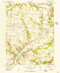
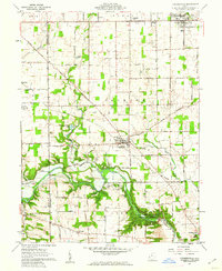
 - 1951 Map of Franklin, 1953 Print
 1951 Franklin1953 Print · USGSCovers Montgomery County, including Middletown, Miamisburg, and other nearby areas
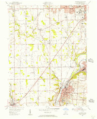
 - 1953 Map of Cincinnati, 1965 Print
 1953 Cincinnati1965 Print · USGSCovers Montgomery County, including Indianapolis, Cincinnati, and other nearby areas3 unique versions available
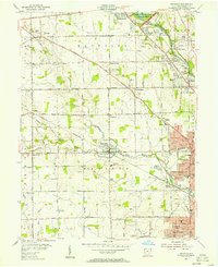
 - 1955 Map of Miamisburg, 1956 Print
 1955 Miamisburg1956 Print · USGSCovers Montgomery County, including Dayton, Trotwood, and other nearby areas2 unique versions available
 - 1955 Map of Waynesville, 1956 Print
 1955 Waynesville1956 Print · USGSCovers Montgomery County, including Centerville, Bellbrook, and other nearby areas2 unique versions available
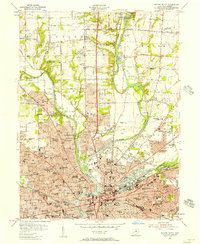
 - 1955 Map of Dayton South, 1956 Print
 1955 Dayton South1956 Print · USGSCovers Montgomery County, including Dayton, Kettering, and other nearby areas
 - 1955 Map of Bellbrook, 1956 Print
 1955 Bellbrook1956 Print · USGSCovers Montgomery County, including Dayton, Kettering, and other nearby areas
 - 1955 Map of West Milton, 1956 Print
 1955 West Milton1956 Print · USGSCovers Montgomery County, including Dayton, Vandalia, and other nearby areas5 unique versions available
 - 1955 Map of Tipp City, 1956 Print
 1955 Tipp City1956 Print · USGSCovers Montgomery County, including Dayton, Huber Heights, and other nearby areas
 - 1955 Map of Springboro, 1956 Print
 1955 Springboro1956 Print · USGSCovers Montgomery County, including Centerville, Miamisburg, and other nearby areas
 - 1955 Map of New Carlisle, 1956 Print
 1955 New Carlisle1956 Print · USGSCovers Montgomery County, including Huber Heights, New Carlisle, and other nearby areas4 unique versions available
 - 1955 Map of Trotwood, 1956 Print
 1955 Trotwood1956 Print · USGSCovers Montgomery County, including Dayton, Trotwood, and other nearby areas
 - 1955 Map of Fairborn, 1957 Print
 1955 Fairborn1957 Print · USGSCovers Montgomery County, including Dayton, Beavercreek, and other nearby areas
 - 1955 Map of Dayton North, 1957 Print
 1955 Dayton North1957 Print · USGSCovers Montgomery County, including Dayton, Huber Heights, and other nearby areas
 - 1957 Map of Cincinnati
 1957 Cincinnati1957 Print · USGSCovers Montgomery County, including Indianapolis, Cincinnati, and other nearby areas
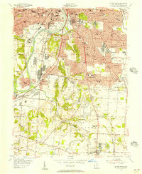
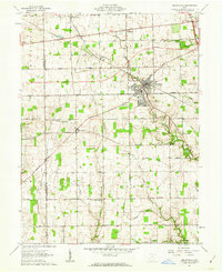
 - 1959 Map of Middletown, 1961 Print
 1959 Middletown1961 Print · USGSCovers Montgomery County, including Middletown, Trenton, and other nearby areas5 unique versions available
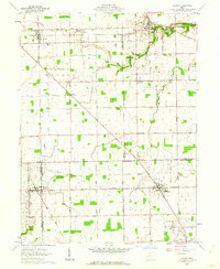
 - 1960 Map of Farmersville, 1962 Print
 1960 Farmersville1962 Print · USGSCovers Montgomery County, including Germantown, New Lebanon, and other nearby areas4 unique versions available
 - 1961 Map of Laura, 1962 Print
 1961 Laura1962 Print · USGSCovers Montgomery County, including Phillipsburg, Laura, and other nearby areas2 unique versions available
 - 1961 Map of Brookville, 1962 Print
 1961 Brookville1962 Print · USGSCovers Montgomery County, including Brookville, New Lebanon, and other nearby areas3 unique versions available
 - 1965 Map of Franklin, 1967 Print
 1965 Franklin1967 Print · USGSCovers Montgomery County, including Middletown, Miamisburg, and other nearby areas5 unique versions available
Showing maps 1-25 of 36
Top cities of Montgomery County
- Dayton historical maps
- Kettering historical maps
- Huber Heights historical maps
- Trotwood historical maps
- Centerville historical maps
- Riverside historical maps
See more
Frequently asked questions
- What are the different types of historical maps available for Montgomery County?
- What is the oldest map of Montgomery County?
- Where can I purchase historical maps of Montgomery County for my home or office?
- Where can I download high-res historical maps of Montgomery County?
- Are there historical topographic maps available for Montgomery County?
- Is there historical aerial imagery available for Montgomery County?
- Where are historical maps of Montgomery County sourced from?