Old Maps of Moscow Mills, Ohio for Metal Detecting
Plan your next treasure hunt with 14 historic maps of Moscow Mills. Find old homesites, ghost towns, trails, and gathering spots that may be lost to time — perfect for identifying promising metal detecting locations.
- Locate forgotten sites: Uncover places like long-lost settlements, abandoned rail lines, or gathering spots.
- Plan better hunts: Use map overlays combined with LiDAR or satellite views to narrow in on historically rich areas.
- Made for detectorists: Thousands of hobbyists use these maps to discover relics, coins, and hidden history.
Use these historic maps to boost your research and find new opportunities beneath the surface of Moscow Mills.
Moscow Mills, OH maps
(14)- 1909 Map of Caldwell, 1956 Print
 1909 Caldwell1956 Print · USGSThe Muskingum River valley and the hills of Noble and Morgan counties are shown here in the early twentieth century. Genealogists can locate dozens of country institutions, from Bells Church and Manchester Church to the curiously named Beancatcher School and Poochville School.
 - 1912 Map of Caldwell, 1943 Print
 1912 Caldwell1943 Print · USGSSoutheast Ohio's river valleys and ridge-top settlements are captured here in the years before the Great War. Genealogists can trace family footprints across dozens of rural landmarks, from Manchester Church to the curiously named Poochville School and Valleyburg Woodgrove PO.
 - 1949 Map of Clarksburg
 1949 Clarksburg1949 Print · USGSThe upper Ohio River valley and the industrial heart of West Virginia come into focus during this post-war period. Genealogists and researchers can trace the rail corridors of the Baltimore and Ohio and locate centers like Fairmont, Grafton, and Waynesburg.
 - 1956 Map of Clarksburg, 1966 Print
 1956 Clarksburg1966 Print · USGSThe Ohio River valley and the industrial heart of West Virginia are seen here in the mid-1950s as rail and river commerce thrived. Researchers can trace historic transport lines like the Baltimore and Ohio RR and locate ancestral homes in Clarksburg, Moundsville, or Parkersburg.2 unique versions available
 - 1961 Map of Clarksburg
 1961 Clarksburg1961 Print · USGSThe mid-century industrial and river landscapes of West Virginia and Ohio are detailed here, centered on the Ohio River. Researchers can trace the Baltimore and Ohio rail lines connecting towns like Parkersburg, Clarksburg, and Monongah.
 - 1961 Map of Beverly, 1962 Print
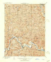
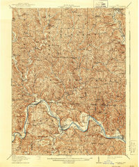
 1961 Beverly1962 Print · USGSThe Muskingum River valley of the early sixties is shown here in detail, from the rail-side hamlets of the Morgan County line to the hubs of Beverly and Waterford. Genealogists can locate family landmarks like Milnor Cem, Smiths Chapel, and the vanished site of Moscow Mills.4 unique versions available
 - 1980 Map of Senecaville, 1983 Print
 1980 Senecaville1983 Print · USGSEastern Ohio at the start of the eighties reveals a complex landscape of coal extraction and river commerce. Genealogists and historians can trace rail lines like the Conrail and Baltimore and Ohio RR connecting towns like Byesville and Woodsfield.2 unique versions available
 - 1988 Map of Clarksburg, 1989 Print
 1988 Clarksburg1989 Print · USGSThe central Appalachians are documented in detail during the late eighties, showing the industrial and river-based economies of West Virginia, Ohio, and Pennsylvania. Researchers can trace historic rail routes like the B & O RR and locate river towns from St Marys to Parkersburg.
 - 1994 Map of Beverly, 1998 Print
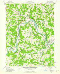
 1994 Beverly1998 Print · USGSThe Muskingum River valley in the 1990s remained a landscape defined by its river-bend settlements and deep family roots. Genealogists can locate numerous historic burial sites such as DeLong Cem and Milnor Cem or trace the legacy of schools like Fort Frye Sch.
 - 2010 Map of Beverly, 2010 Print
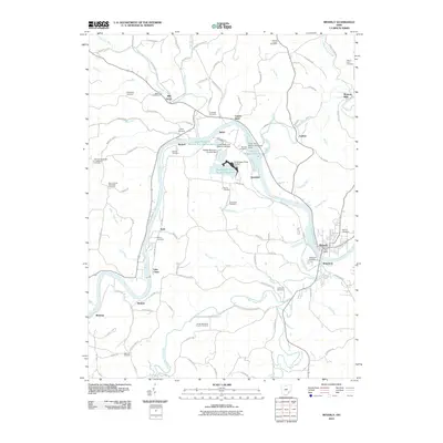 2010 Beverly2010 Print · USGSCovers Moscow Mills, including Waterford, Beverly, and other nearby areas
 - 2013 Map of Beverly, 2013 Print
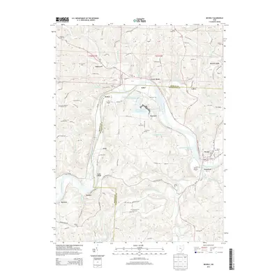 2013 Beverly2013 Print · USGSCovers Moscow Mills, including Waterford, Beverly, and other nearby areas
 - 2016 Map of Beverly, 2016 Print
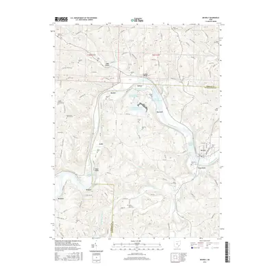 2016 Beverly2016 Print · USGSCovers Moscow Mills, including Waterford, Beverly, and other nearby areas
 - 2019 Map of Beverly, 2019 Print
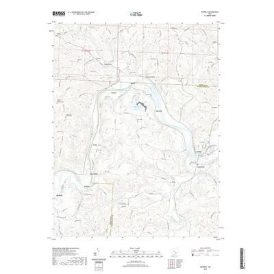 2019 Beverly2019 Print · USGSCovers Moscow Mills, including Waterford, Beverly, and other nearby areas
 - 2023 Map of Beverly, 2023 Print
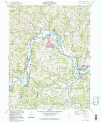
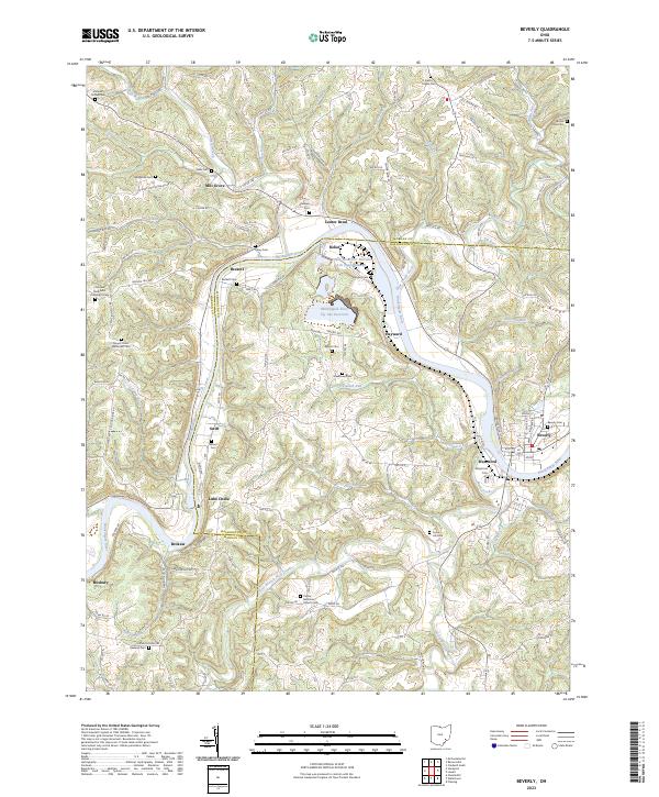 2023 Beverly2023 Print · USGSThe Muskingum River valley at the Washington and Morgan county line remains a landscape of riverside hamlets and industrial sites in the early twenty-first century. Researchers can trace family sites from Beverly to Waterford while locating rural landmarks like Smiths Chapel Cem and Luke Chute.
End of results
Showing maps 1-14 of 14
Top cities near Moscow Mills
- Marietta historical maps
- Waterford historical maps
- Williamstown historical maps
- Barlow historical maps
- Caldwell historical maps
- McConnelsville historical maps
See more
Frequently asked questions
- What are the different types of historical maps available for Moscow Mills?
- What is the oldest map of Moscow Mills?
- Where can I purchase historical maps of Moscow Mills for my home or office?
- Where can I download high-res historical maps of Moscow Mills?
- Are there historical topographic maps available for Moscow Mills?
- Is there historical aerial imagery available for Moscow Mills?
- Where are historical maps of Moscow Mills sourced from?