Old Maps of East Greenwood, Ohio for Genealogy
Trace your family roots with 13 historic maps of East Greenwood. These high-res maps reveal old neighborhoods, homesites, landmarks, and streets — helping you uncover where your ancestors lived and how the area evolved over time.
- Explore historic neighborhoods: Identify where your relatives may have lived in the 1800s or 1900s.
- Compare maps over time: Trace the changes in streets, buildings, and landmarks for multi-generational research.
- Perfect for genealogy & ancestry research: Used by family historians and researchers to map out lineage and migration.
These maps are an incredible resource for exploring your personal connection to East Greenwood's past.
East Greenwood, OH maps
(13)- 1908 Map of Conesville, 1961 Print
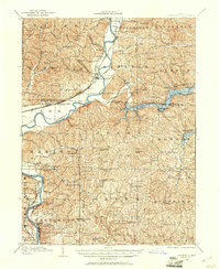 1908 Conesville1961 Print · USGSEastern Ohio at the dawn of the twentieth century was a landscape of river-valley commerce and tight-knit rural school districts. Researchers can trace the legacy of family farms and early industry through sites like Morgan Mill, Conesville, and the Science Hill School.
 - 1910 Map of Conesville, 1948 Print
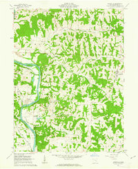
 1910 Conesville1948 Print · USGSThe Muskingum River valley and the Ohio Canal are captured here in the decade before the Great War. Genealogists can trace family homesteads near dozens of rural landmarks like Young America School, Otsego, and Munroe Basin.
 - 1951 Map of Canton
 1951 Canton1951 Print · USGSThe industrial heartland of Ohio and Pennsylvania reached its mid-century peak during this era of heavy rail and river transit. Genealogists and historians can trace the development of steel towns like Aliquippa and Weirton alongside the Ohio River and major lines of the Pennsylvania RR.
 - 1953 Map of Canton
 1953 Canton1953 Print · USGSThe industrial heartland of Ohio and Pennsylvania is captured at its mid-century peak in this detailed regional survey. Genealogists and historians can trace the vast rail networks of the Pennsylvania RR and find local landmarks like Nimisila Reservoir and Tappan Reservoir.
 - 1957 Map of Canton, 1971 Print
 1957 Canton1971 Print · USGSThe industrial heartland of eastern Ohio and western Pennsylvania comes alive in this mid-century survey of the Ohio River Valley. Trace the heritage of rail and river commerce through Pittsburgh, the massive steel towns along the Ohio River, and major junctions on the Pennsylvania RR.3 unique versions available
 - 1962 Map of Canton
 1962 Canton1962 Print · USGSThe industrial heartland of Eastern Ohio and Western Pennsylvania thrives in the early sixties as steel mills and rail lines dominate the river valleys. Genealogists and historians can trace local landmarks like McKinley National Memorial, Malone College, and industrial sites such as Republic Steel Corp.2 unique versions available
 - 1962 Map of Adamsville, 1963 Print
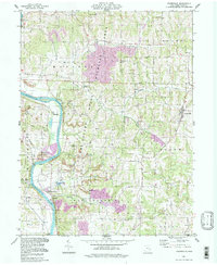
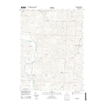
 1962 Adamsville1963 Print · USGSMuskingum County's river-and-rail corridor is captured here in the early sixties, showing the industrial landscape before modern shifts. Genealogists can trace family names through Stoner Cem and Vernon Cem or locate the historic Washington Ch.5 unique versions available
 - 1994 Map of Adamsville, 1998 Print
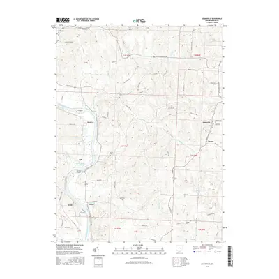
 1994 Adamsville1998 Print · USGSEastern Muskingum County remains a landscape of river valleys and rural crossroads in the 1990s, where traditional farming meets modern resource extraction. Researchers can locate dozens of historic sites, from Bethesda Ch and Stoner Cem to the Zanesville State Nursery.
 - 2010 Map of Adamsville, 2010 Print
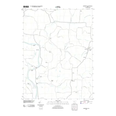 2010 Adamsville2010 Print · USGSCovers East Greenwood, including Dresden, Adamsville, and other nearby areas
 - 2013 Map of Adamsville, 2013 Print
 2013 Adamsville2013 Print · USGSCovers East Greenwood, including Dresden, Adamsville, and other nearby areas
 - 2016 Map of Adamsville, 2016 Print
 2016 Adamsville2016 Print · USGSCovers East Greenwood, including Dresden, Adamsville, and other nearby areas
 - 2019 Map of Adamsville, 2019 Print
 2019 Adamsville2019 Print · USGSCovers East Greenwood, including Dresden, Adamsville, and other nearby areas
 - 2023 Map of Adamsville, 2023 Print
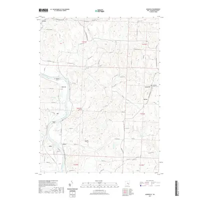
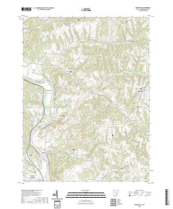 2023 Adamsville2023 Print · USGSMuskingum County's rural heartland is documented here in the early twenty-first century, showing the intricate ridges above the Muskingum River. Genealogists can locate family burial sites like Stoner Cem and Vernon Cem or trace the early paths of Mollies Rock Rd.
End of results
Showing maps 1-13 of 13
Top cities near East Greenwood
- Zanesville historical maps
- Coshocton historical maps
- New Concord historical maps
- South Zanesville historical maps
- Dresden historical maps
- Brush Creek historical maps
See more
Frequently asked questions
- What are the different types of historical maps available for East Greenwood?
- What is the oldest map of East Greenwood?
- Where can I purchase historical maps of East Greenwood for my home or office?
- Where can I download high-res historical maps of East Greenwood?
- Are there historical topographic maps available for East Greenwood?
- Is there historical aerial imagery available for East Greenwood?
- Where are historical maps of East Greenwood sourced from?