Old Maps of Frazier, Ohio for Academic Research
Study the evolution of Frazier with 13 high-resolution historic maps. Whether you're teaching, researching, or modeling changes in land use, these maps provide essential visual documentation of urban, environmental, and geographic change.
- Analyze long-term change: Track patterns in development, transportation, and natural features.
- Ideal for environmental or urban studies: Support academic projects with primary historical map data.
- Use in the classroom or lab: Educators and researchers rely on these maps to bring historical context to life.
These maps are a powerful tool for teaching, research, and visualizing how Frazier has changed over the decades.
Frazier, OH maps
(13)- 1910 Map of Philo, 1938 Print
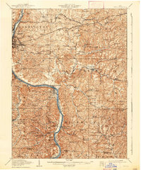 1910 Philo1938 Print · USGSThe Muskingum River valley was a bustling corridor of rail and river commerce at the turn of the century. Genealogists can locate dozens of country schoolhouses like Toadtown School and Sleepy Hollow School, or trace family roots near Taylorsville and the National Road.2 unique versions available
 - 1949 Map of Clarksburg
 1949 Clarksburg1949 Print · USGSThe upper Ohio River valley and the industrial heart of West Virginia come into focus during this post-war period. Genealogists and researchers can trace the rail corridors of the Baltimore and Ohio and locate centers like Fairmont, Grafton, and Waynesburg.
 - 1956 Map of Clarksburg, 1966 Print
 1956 Clarksburg1966 Print · USGSThe Ohio River valley and the industrial heart of West Virginia are seen here in the mid-1950s as rail and river commerce thrived. Researchers can trace historic transport lines like the Baltimore and Ohio RR and locate ancestral homes in Clarksburg, Moundsville, or Parkersburg.2 unique versions available
 - 1961 Map of Clarksburg
 1961 Clarksburg1961 Print · USGSThe mid-century industrial and river landscapes of West Virginia and Ohio are detailed here, centered on the Ohio River. Researchers can trace the Baltimore and Ohio rail lines connecting towns like Parkersburg, Clarksburg, and Monongah.
 - 1961 Map of Zanesville East, 1963 Print
 1961 Zanesville East1963 Print · USGSMuskingum County at the start of the sixties reveals a landscape of river-valley industry and expanding coal works. Genealogists and historians can trace rail-side neighborhoods near North Zanesville or locate rural landmarks like Rural Chapel and the Paul Mine.5 unique versions available
 - 1980 Map of Senecaville, 1983 Print
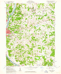
 1980 Senecaville1983 Print · USGSEastern Ohio at the start of the eighties reveals a complex landscape of coal extraction and river commerce. Genealogists and historians can trace rail lines like the Conrail and Baltimore and Ohio RR connecting towns like Byesville and Woodsfield.2 unique versions available
 - 1988 Map of Clarksburg, 1989 Print
 1988 Clarksburg1989 Print · USGSThe central Appalachians are documented in detail during the late eighties, showing the industrial and river-based economies of West Virginia, Ohio, and Pennsylvania. Researchers can trace historic rail routes like the B & O RR and locate river towns from St Marys to Parkersburg.
 - 1994 Map of Zanesville East, 1998 Print
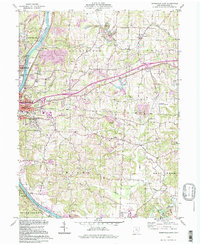 1994 Zanesville East1998 Print · USGSZanesville and the Muskingum River valley appear here in the mid-1990s as a landscape of industry and community. Genealogists can trace family names at Greenwood Cemetery or Bowers Cem and locate vanished rural schoolhouses like Monroe Sch.
 - 2010 Map of Zanesville East, 2010 Print
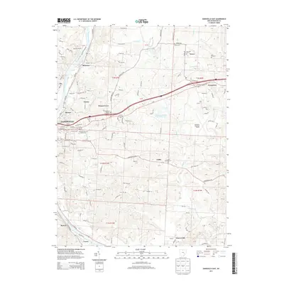
 2010 Zanesville East2010 Print · USGSCovers Frazier, including Zanesville, Pleasant Grove, and other nearby areas
 - 2013 Map of Zanesville East, 2013 Print
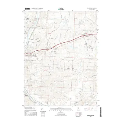
 2013 Zanesville East2013 Print · USGSCovers Frazier, including Zanesville, Pleasant Grove, and other nearby areas
 - 2016 Map of Zanesville East, 2016 Print
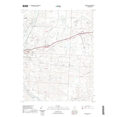
 2016 Zanesville East2016 Print · USGSCovers Frazier, including Zanesville, Pleasant Grove, and other nearby areas
 - 2019 Map of Zanesville East, 2019 Print
 2019 Zanesville East2019 Print · USGSCovers Frazier, including Zanesville, Pleasant Grove, and other nearby areas
 - 2023 Map of Zanesville East, 2023 Print
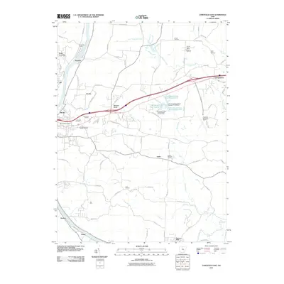
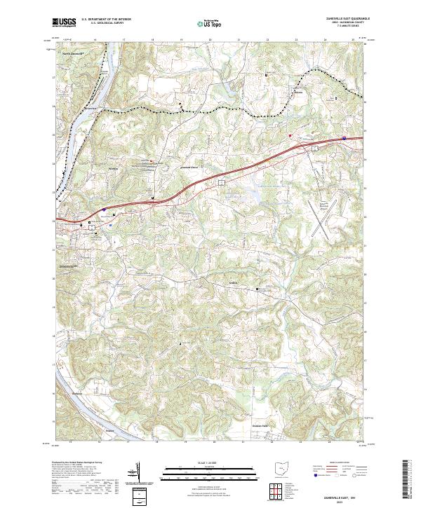 2023 Zanesville East2023 Print · USGSZanesville and the Muskingum River valley are captured in this recent survey during a period of modern industrial and suburban growth. Researchers can locate numerous historic burial grounds like Mount Olive Cem or trace the rural topography of Island Hollow.
End of results
Showing maps 1-13 of 13
Top cities near Frazier
- Zanesville historical maps
- New Lexington historical maps
- Hopewell historical maps
- Crooksville historical maps
- South Zanesville historical maps
- McConnelsville historical maps
See more
Frequently asked questions
- What are the different types of historical maps available for Frazier?
- What is the oldest map of Frazier?
- Where can I purchase historical maps of Frazier for my home or office?
- Where can I download high-res historical maps of Frazier?
- Are there historical topographic maps available for Frazier?
- Is there historical aerial imagery available for Frazier?
- Where are historical maps of Frazier sourced from?