2020s Maps of Zanesville, Ohio
Explore 3 historic maps of Zanesville from the 2020s. These maps offer a rare glimpse into what life looked like during the 2020s — showing old roads, neighborhoods, homes, and landmarks that have changed or disappeared over time.
Whether you're researching your family's past, planning a metal detecting trip, or studying how Zanesville's landscape evolved across the 2020s, these high-resolution maps are a powerful tool for exploring the history of this region.
- Focus on a specific era: All maps on this page are from the 2020s, giving you a focused view of this time period.
- See what’s changed: Compare century-old streets, trails, and buildings to today's modern landscape using overlays and satellite layers.
- Research with precision: Use these maps for genealogy, historical research, land use analysis, or educational projects.
- View, download, or print: Maps are fully viewable online in high resolution, and can be downloaded or printed for your own records.
Start exploring Zanesville's history through authentic maps from the 2020s. This is your window into the past.
Zanesville, OH maps
(3)- 2023 Map of Zanesville East, 2023 Print
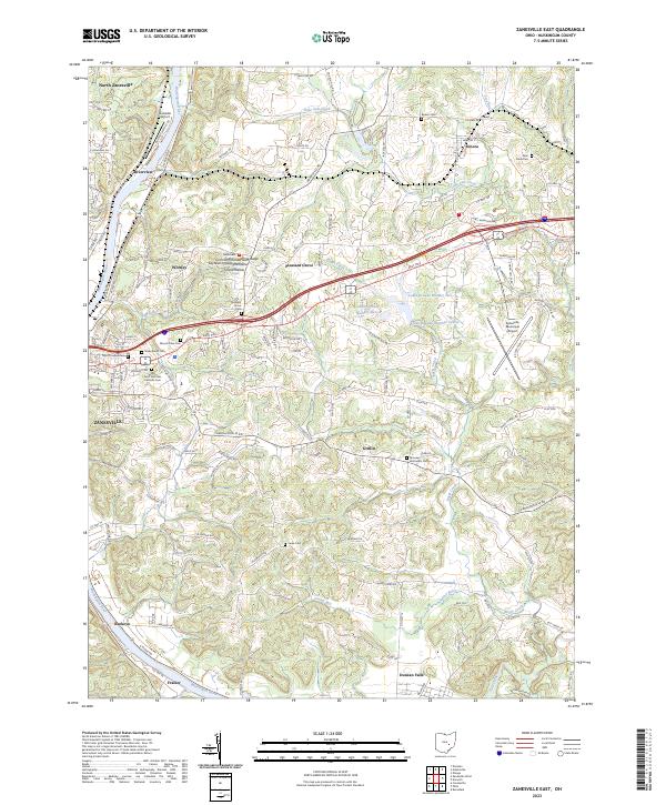 2023 Zanesville East2023 Print · USGSZanesville and the Muskingum River valley are captured in this recent survey during a period of modern industrial and suburban growth. Researchers can locate numerous historic burial grounds like Mount Olive Cem or trace the rural topography of Island Hollow.
 - 2023 Map of Zanesville West, 2023 Print
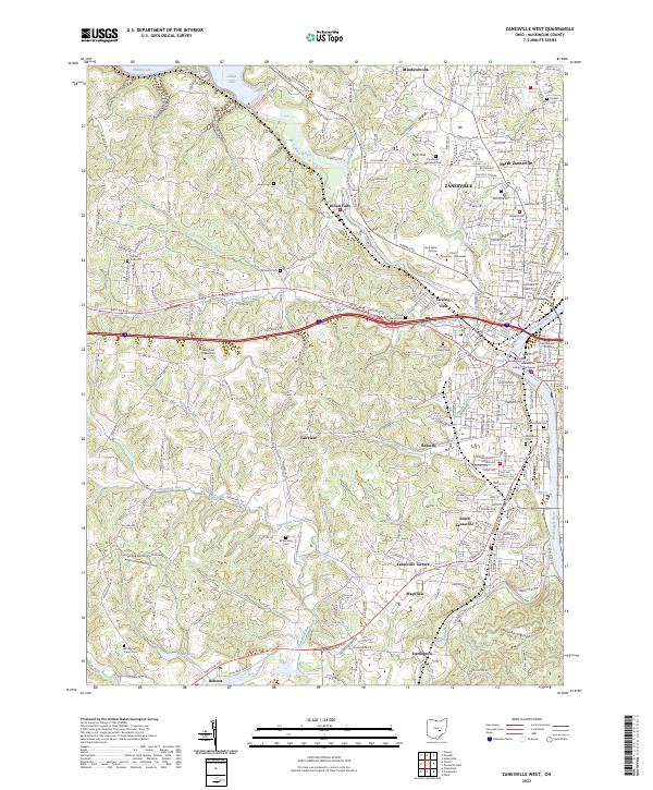 2023 Zanesville West2023 Print · USGSZanesville and its river confluence appear here in the early twenty-first century, showing the urban evolution of this Muskingum County hub. Researchers can locate family sites at Mount Calvary Cem and trace historic neighborhoods near the Muskingum County Courthouse.
 - 2023 Map of Dresden, 2023 Print
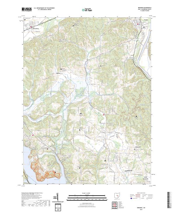 2023 Dresden2023 Print · USGSMuskingum County at the start of the 2020s shows the enduring landscape of Dresden and Frazeysburg along the river and creek valleys. Genealogists can trace family heritage through isolated sites like Mattingly Settlement Cem and Black Log Cem.
End of results
Showing maps 1-3 of 3
Top cities near Zanesville
- Hopewell historical maps
- Crooksville historical maps
- South Zanesville historical maps
- Dresden historical maps
- Brush Creek historical maps
- Frazeysburg historical maps
See more
Top neighborhoods of Zanesville
- Putnam historical maps
- Brighton historical maps
- Fairmont Avenue Historic District historical maps
- McIntire Terrace Historic District historical maps
- Putnam Historic District historical maps
- The Village at Joe's Run historical maps
See more
Frequently asked questions
- What are the different types of historical maps available for Zanesville?
- What is the oldest map of Zanesville?
- Where can I purchase historical maps of Zanesville for my home or office?
- Where can I download high-res historical maps of Zanesville?
- Are there historical topographic maps available for Zanesville?
- Is there historical aerial imagery available for Zanesville?
- Where are historical maps of Zanesville sourced from?