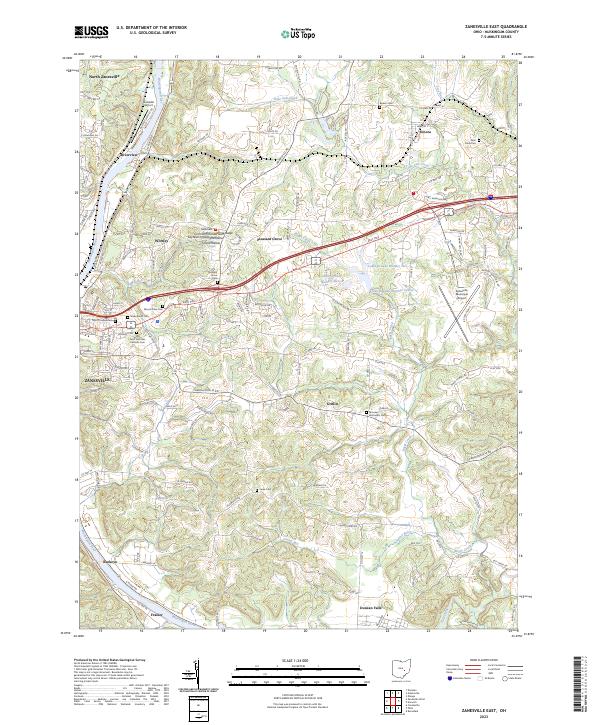
2023 Map of Zanesville East
USGS Topo · Published 2023About this map
The Muskingum River corridor dominates the western edge of this Muskingum County landscape, anchoring the expansion of Zanesville and its outlying communities. The map details a complex settlement pattern where urban residential grids transition into rural ridges and hollows, such as Cochran Hill and Layhews Hollow. Significant aviation infrastructure is present at Riverside Airport and Zanesville Municipal Airport, while the area north of Duncan Falls shows a cluster of industrial or reclaimed water bodies including Luburgh Lake Number Eleven and Luburgh Lake Number Five. Genealogists will find a high concentration of burial sites concentrated near the city center, including the expansive Greenwood Cem and Saint Nicholas Catholic Cem, providing a dense record of the region’s local heritage and Catholic history.
Find a feature on this map
147 named features on this map. Tap any name to fly to it.
Don’t see what you’re looking for? This feature index may not catch every label — zoom into the map to look around manually.
Map Details
Editions of this 2023 Zanesville East Map
This is the sole edition of this map. No revisions or reprints were ever made.
Other maps of this area

1908 · Conesville
USGS Topo · 1:62,500

1910 · Frazeysburg
USGS Topo · 1:62,500

1910 · Philo
USGS Topo · 1:62,500

1910 · Zanesville
USGS Topo · 1:62,500

1910 · Conesville
USGS Topo · 1:62,500

1947 · Columbus
USGS Topo · 1:250,000

1949 · Clarksburg
USGS Topo · 1:250,000

1950 · Marion
USGS Topo · 1:250,000

1951 · Canton
USGS Topo · 1:250,000

1953 · Canton
USGS Topo · 1:250,000