Old Maps of Hoskinsville, Ohio for Academic Research
Study the evolution of Hoskinsville with 13 high-resolution historic maps. Whether you're teaching, researching, or modeling changes in land use, these maps provide essential visual documentation of urban, environmental, and geographic change.
- Analyze long-term change: Track patterns in development, transportation, and natural features.
- Ideal for environmental or urban studies: Support academic projects with primary historical map data.
- Use in the classroom or lab: Educators and researchers rely on these maps to bring historical context to life.
These maps are a powerful tool for teaching, research, and visualizing how Hoskinsville has changed over the decades.
Hoskinsville, OH maps
(13)- 1911 Map of Cumberland, 1939 Print
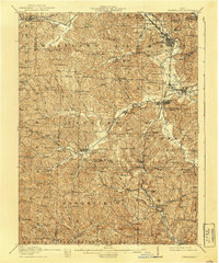 1911 Cumberland1939 Print · USGSSoutheastern Ohio at the start of the twentieth century was a landscape of ridge-top schools and valley rail junctions. Genealogists can trace family footprints through dozens of rural landmarks like Goshen Church, Dogtown, and the Rough and Ready School.2 unique versions available
 - 1949 Map of Clarksburg
 1949 Clarksburg1949 Print · USGSThe upper Ohio River valley and the industrial heart of West Virginia come into focus during this post-war period. Genealogists and researchers can trace the rail corridors of the Baltimore and Ohio and locate centers like Fairmont, Grafton, and Waynesburg.
 - 1956 Map of Clarksburg, 1966 Print
 1956 Clarksburg1966 Print · USGSThe Ohio River valley and the industrial heart of West Virginia are seen here in the mid-1950s as rail and river commerce thrived. Researchers can trace historic transport lines like the Baltimore and Ohio RR and locate ancestral homes in Clarksburg, Moundsville, or Parkersburg.2 unique versions available
 - 1961 Map of Clarksburg
 1961 Clarksburg1961 Print · USGSThe mid-century industrial and river landscapes of West Virginia and Ohio are detailed here, centered on the Ohio River. Researchers can trace the Baltimore and Ohio rail lines connecting towns like Parkersburg, Clarksburg, and Monongah.
 - 1961 Map of Caldwell North, 1963 Print
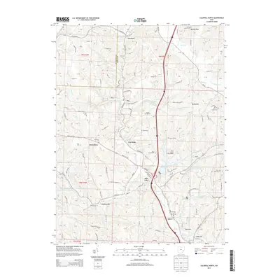
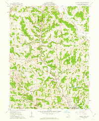 1961 Caldwell North1963 Print · USGSCentral Noble County in the early sixties reveals a landscape of coal-hauling rail lines and creek-bottom settlements. Genealogists can trace family landmarks like McElroy Cemetery, the community at Hiramsburg, and rural landmarks such as Clarks Chapel.3 unique versions available
 - 1980 Map of Senecaville, 1983 Print
 1980 Senecaville1983 Print · USGSEastern Ohio at the start of the eighties reveals a complex landscape of coal extraction and river commerce. Genealogists and historians can trace rail lines like the Conrail and Baltimore and Ohio RR connecting towns like Byesville and Woodsfield.2 unique versions available
 - 1988 Map of Clarksburg, 1989 Print
 1988 Clarksburg1989 Print · USGSThe central Appalachians are documented in detail during the late eighties, showing the industrial and river-based economies of West Virginia, Ohio, and Pennsylvania. Researchers can trace historic rail routes like the B & O RR and locate river towns from St Marys to Parkersburg.
 - 1994 Map of Caldwell North, 1998 Print
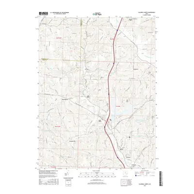
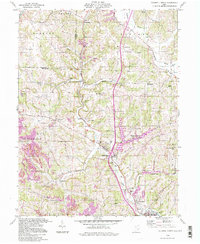 1994 Caldwell North1998 Print · USGSSoutheast Ohio’s rural and industrial character is preserved here in the late twentieth century, before further changes altered the landscape. Researchers can trace old family sites and mining operations near Belle Valley, Hoskinsville, and the McElroy Cem.
 - 2010 Map of Caldwell North, 2010 Print
 2010 Caldwell North2010 Print · USGSCovers Hoskinsville, including Caldwell, Belle Valley, and other nearby areas
 - 2013 Map of Caldwell North, 2013 Print
 2013 Caldwell North2013 Print · USGSCovers Hoskinsville, including Caldwell, Belle Valley, and other nearby areas
 - 2016 Map of Caldwell North, 2016 Print
 2016 Caldwell North2016 Print · USGSCovers Hoskinsville, including Caldwell, Belle Valley, and other nearby areas
 - 2019 Map of Caldwell North, 2019 Print
 2019 Caldwell North2019 Print · USGSCovers Hoskinsville, including Caldwell, Belle Valley, and other nearby areas
 - 2023 Map of Caldwell North, 2023 Print
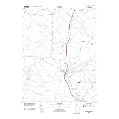
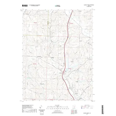
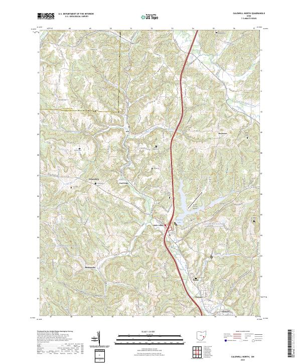 2023 Caldwell North2023 Print · USGSThe hills and valleys of Noble County are meticulously detailed in this modern survey of the area north of Caldwell. Researchers can pinpoint numerous rural burial sites like Saint Michaels Cem and tracing the course of the Johnny Woods River.
End of results
Showing maps 1-13 of 13
Top cities near Hoskinsville
- Cambridge historical maps
- New Concord historical maps
- Byesville historical maps
- Caldwell historical maps
- Beverly historical maps
- Stockport historical maps
See more
Frequently asked questions
- What are the different types of historical maps available for Hoskinsville?
- What is the oldest map of Hoskinsville?
- Where can I purchase historical maps of Hoskinsville for my home or office?
- Where can I download high-res historical maps of Hoskinsville?
- Are there historical topographic maps available for Hoskinsville?
- Is there historical aerial imagery available for Hoskinsville?
- Where are historical maps of Hoskinsville sourced from?