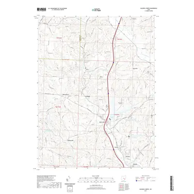
2019 Map of Caldwell North
USGS Topo · Published 2019About this map
Belle Valley and the northern outskirts of Caldwell anchor this study of the Noble County landscape, where the West Fork Duck Creek and its many tributaries carve a complex drainage pattern. The map documents a rural corridor transitioning between small settlements like Ava, Coal Ridge, and Hoskinsville, each situated along historic road networks such as Marietta Rd and Belle Valley Rd. The presence of the Central Ohio Coal Company Nb-151 Reservoir and several named ridges, including Halleys Ridge and Barrys Ridge, suggests a landscape defined by both industrial legacy and steep topographical relief.
Find a feature on this map
139 named features on this map. Tap any name to fly to it.
Don’t see what you’re looking for? This feature index may not catch every label — zoom into the map to look around manually.
Map Details
Editions of this 2019 Caldwell North Map
This is the sole edition of this map. No revisions or reprints were ever made.
Other maps of this area

1903 · Macksburg
USGS Topo · 1:62,500

1905 · Macksburg
USGS Topo · 1:62,500

1909 · Caldwell
USGS Topo · 1:62,500

1909 · Summerfield
USGS Topo · 1:62,500

1911 · Cumberland
USGS Topo · 1:62,500

1911 · Summerfield
USGS Topo · 1:62,500

1912 · Caldwell
USGS Topo · 1:62,500

1949 · Clarksburg
USGS Topo · 1:250,000

1956 · Clarksburg
USGS Topo · 1:250,000

1961 · Clarksburg
USGS Topo · 1:250,000