Old Maps of East Ringgold, Ohio
Explore 14 old maps of East Ringgold, spanning from 1914 to today. These high-resolution historic maps reveal how streets, neighborhoods, landmarks, and natural features evolved over time — perfect for genealogy, metal detecting, research, and local history exploration.
What you can do with these maps:
- See how East Ringgold changed over time: Compare historical maps to modern-day views to trace roads, homesites, rail lines & more.
- View detailed metadata: Each map includes creators, publishers, year, scale, and archive source.
- Overlay maps with satellite & LiDAR: Visualize the past alongside modern tools to explore terrain & human change.
- Trusted historical sources: Maps sourced from the USGS, Library of Congress, and other archives.
- Access maps your way: View online, download high-res files, or order prints for personal or research use.
Start exploring old maps of East Ringgold to uncover forgotten places, hidden landmarks, and the deep history beneath your feet.
East Ringgold, OH maps
(14)- 1914 Map of Circleville, 1948 Print
 1914 Circleville1948 Print · USGSThe Scioto River valley and Pickaway Plains are captured here during a period of thriving rail commerce and rural schoolhouse districts. Researchers can find ancestral sites from the Reber Hill Cemetery to vanished stops along the Scioto Valley and New England RR.
 - 1943 Map of Circleville
 1943 Circleville1943 Print · USGSMid-century Pickaway County is defined here by its intersection of rail power and ancient landmarks along the Scioto River. Genealogists and historians can trace dozens of rural schoolhouses like Bushwhack Sch, the county Infirmary, and the site of the Logan Elm.
 - 1947 Map of Columbus, 1948 Print
 1947 Columbus1948 Print · USGSCentral Ohio in the late 1940s is captured in this survey, showing the post-war transition of its rail hubs and military airfield expansions. Genealogists and historians can trace the paths of the Ohio Canal, the Pennsylvania RR lines, and the Camp Sherman Military Reservation.
 - 1958 Map of East Ringgold, 1959 Print
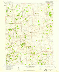 1958 East Ringgold1959 Print · USGSFairfield and Pickaway counties are captured here in the late fifties, showing a rural landscape defined by creek valleys and crossroad hamlets. Researchers can locate family landmarks like Bethany Ch, the East Union Cem, and the rail siding at Amanda.3 unique versions available
 - 1961 Map of Columbus
 1961 Columbus1961 Print · USGSCentral and Southern Ohio are captured here in the early sixties, as the region's industrial rail hubs and military bases reached their peak. Genealogists and historians can trace the transition from urban Columbus to rural townships along the Scioto River, locating Lockbourne USAF and old junctions like Washington Court House.
 - 1962 Map of Columbus
 1962 Columbus1962 Print · USGSCentral Ohio during the early sixties reveals a transition from the industrial corridors of Columbus to the forested ridges of the south. Genealogists and historians can trace the rail networks of the Baltimore & Ohio RR and find local landmarks like Washington Court House and Camp Sherman Military Reservation.
 - 1967 Map of Columbus, 1969 Print
 1967 Columbus1969 Print · USGSCentral Ohio during the late sixties serves as a vital corridor of rail and aviation, from the industrial streets of Springfield to the hangar lines of Lockbourne Air Force Base. Genealogists and researchers can trace the growth of towns like Circleville and London or locate rural landmarks such as St Paul church and the London Correctional Institution.2 unique versions available
 - 1984 Map of Lancaster, 1985 Print
 1984 Lancaster1985 Print · USGSCentral Ohio and the Hocking Valley come into focus during the mid-eighties as suburban growth meets the wooded ridges of the southeast. Researchers can trace transportation networks through Buckeye Lake or locate landmarks like Flint Ridge State Memorial and Moxahala Park.
 - 1992 Map of East Ringgold, 1995 Print
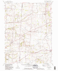 1992 East Ringgold1995 Print · USGSFairfield and Pickaway counties are shown in the 1990s, revealing a landscape of rural crossroads and historic cemeteries. Genealogists can trace East Union Cem, Ritter Cem, and family-named landmarks like Cedar Hill and Royalton.
 - 2010 Map of East Ringgold, 2010 Print
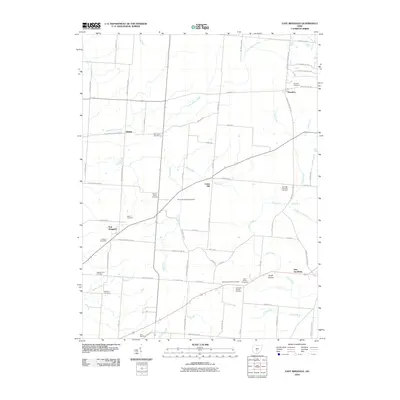 2010 East Ringgold2010 Print · USGSThe rural landscape near East Ringgold in the early 2000s preserves a significant record of local genealogy and community life. Researchers can trace historic family burial sites like Wagner Farm Cemetery and the Turkey Run Baptist Cemetery or locate the Fosnaugh School.
 - 2013 Map of East Ringgold, 2013 Print
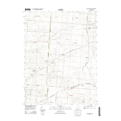 2013 East Ringgold2013 Print · USGSThe rural boundary of Pickaway and Fairfield counties is captured here in the early 2010s, showing a landscape deeply rooted in family farming and local memory. Researchers can locate numerous family-named landmarks and burial sites, including Chester Peters Cem, Wagner Farm Cem, and the cluster at Dutch Hollow Cemeteries.
 - 2016 Map of East Ringgold, 2016 Print
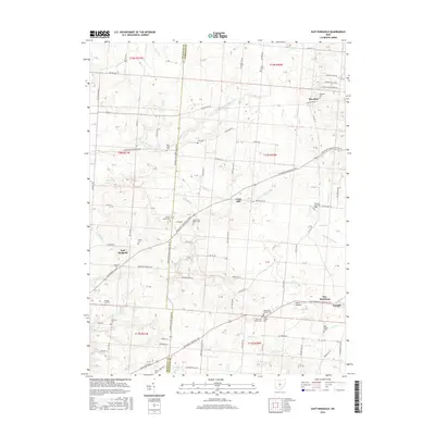 2016 East Ringgold2016 Print · USGSThe rural border of Pickaway and Fairfield counties is captured here in the mid-2010s, showing a landscape of scattered settlements and creek valleys. Genealogists can trace family locations through numerous sites like Turkey Run Baptist Cem, Old Dutch Hollow Cem, and East Ringgold.
 - 2019 Map of East Ringgold, 2019 Print
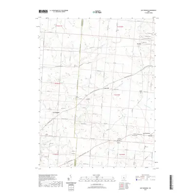 2019 East Ringgold2019 Print · USGSThe rural borderlands of Pickaway and Fairfield counties come into focus in the late 2010s, showing a landscape shaped by glacial drainage and agricultural tradition. Researchers can trace dozens of early burial sites and family landmarks, from the Nigh Family Cemetery to the Turkey Run Baptist Cemetery and Bunker Hill.
 - 2023 Map of East Ringgold, 2023 Print
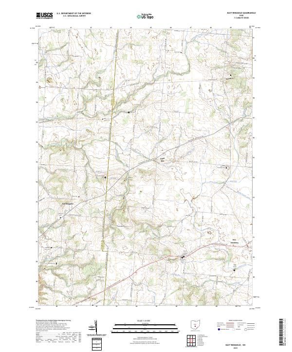 2023 East Ringgold2023 Print · USGSThe Pickaway and Fairfield county borderlands are shown here in modern detail, preserving the layout of historic crossroads and farmsteads. Researchers can locate numerous family and church burial sites, including Dutch Hollow Cem, Bethany Cem, and Royalton Cem.
End of results
Showing maps 1-14 of 14
Top cities near East Ringgold
- Columbus historical maps
- Lancaster historical maps
- Grove City historical maps
- Pickerington historical maps
- Circleville historical maps
- Groveport historical maps
See more
Frequently asked questions
- What are the different types of historical maps available for East Ringgold?
- What is the oldest map of East Ringgold?
- Where can I purchase historical maps of East Ringgold for my home or office?
- Where can I download high-res historical maps of East Ringgold?
- Are there historical topographic maps available for East Ringgold?
- Is there historical aerial imagery available for East Ringgold?
- Where are historical maps of East Ringgold sourced from?