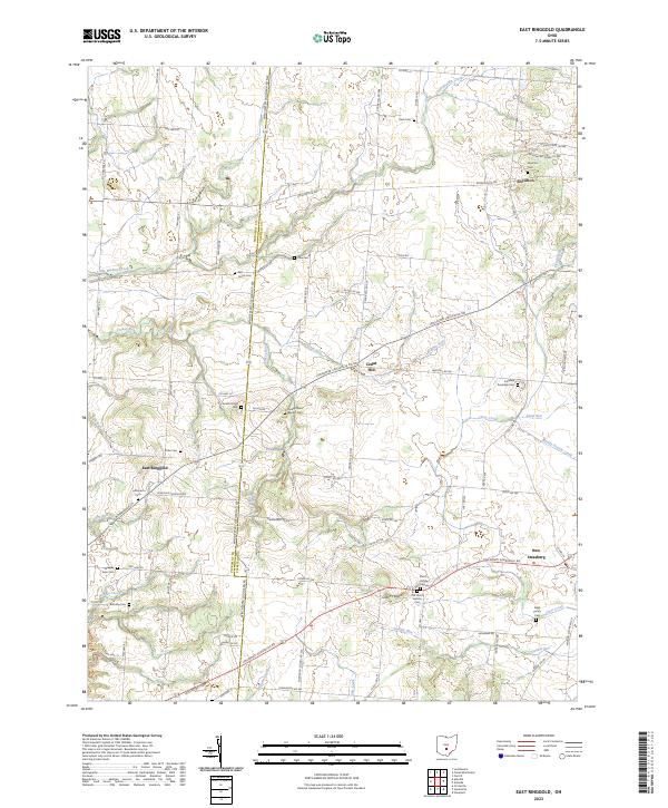
2023 Map of East Ringgold
USGS Topo · Published 2023About this map
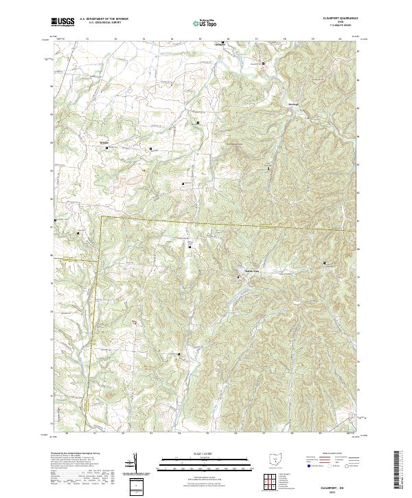
Royalton and East Ringgold anchor a landscape defined by traditional rural settlement patterns along the Pickaway and Fairfield county line. The terrain is deeply etched by a network of waterways, including Little Walnut Creek, Turkey Run, and Clear Creek, which likely influenced the placement of early homesteads and cemeteries. For genealogists and local historians, the map is remarkably dense with burial grounds, ranging from the Lutheran Cem and Turkey Run Baptist Cem to smaller family-named sites like Chester Peters Cem and Ritter Cem. In the southern reaches near New Strasburg, the geography transitions toward Dunkle Run and Scippo Creek, while the historic Lancaster Circleville Rd cuts across the center, serving as a primary corridor through Cedar Hill.
Find a feature on this map
98 named features on this map. Tap any name to fly to it.
Don’t see what you’re looking for? This feature index may not catch every label — zoom into the map to look around manually.
Map Details
Editions of this 2023 East Ringgold Map
This is the sole edition of this map. No revisions or reprints were ever made.
Historical Maps of East Ringgold Through Time
5 maps found
Featured Locations
- Madison Township, OH
- Washington Township, OH
- Amanda Township, OH
- Walnut, Walnut Township
- Amanda, Amanda Township