
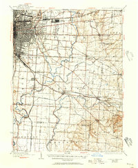
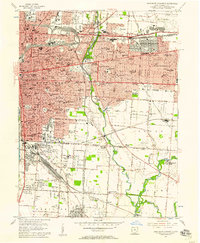
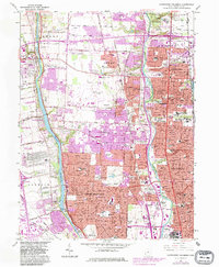
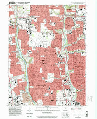
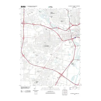
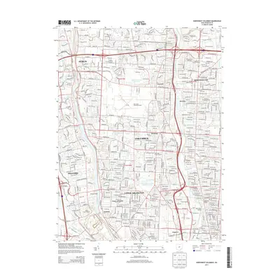
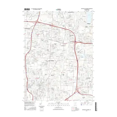
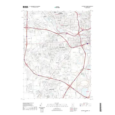
1943 Map of East Columbus
USGS Topo · Published 1943About this map
Port Columbus and Norton Field anchor the aviation landscape of eastern Columbus in this mid-century Army Map Service study. The map documents a dense concentration of federal and civic infrastructure on the city's edge, including Fort Hayes, the U S Army Supply Depot, and the Franklin Co Infirmary. The landscape is defined by the massive Refugee Tract, an 18th-century land grant for Canadians that is still reflected in local boundaries like the Refugee South Boundary.
Find a feature on this map
84 named features on this map. Tap any name to fly to it.
Don’t see what you’re looking for? This feature index may not catch every label — zoom into the map to look around manually.
Map Details
Editions of this 1943 East Columbus Map
This is the sole edition of this map. No revisions or reprints were ever made.
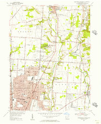
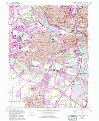
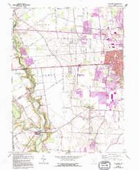
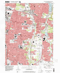
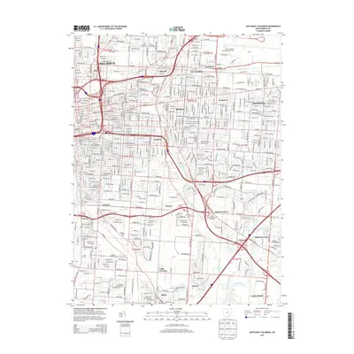
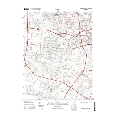
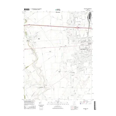
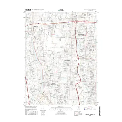
Historical Maps of Columbus Through Time
41 maps found

1923 West Columbus
Franklin County, OH
1925 East Columbus
Franklin County, OH

1925 West Columbus
Franklin County, OH
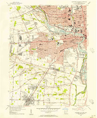
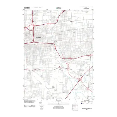
1943 East Columbus
Franklin County, OH
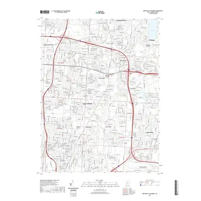
1954 Northeast Columbus
Franklin County, OH
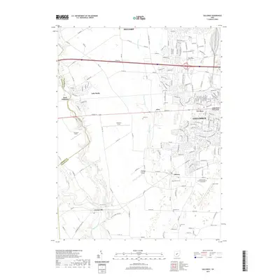
1955 Galloway
Franklin County, OH
1955 Northwest Columbus
Franklin County, OH
1955 Southeast Columbus
Franklin County, OH
1955 Southwest Columbus
Franklin County, OH
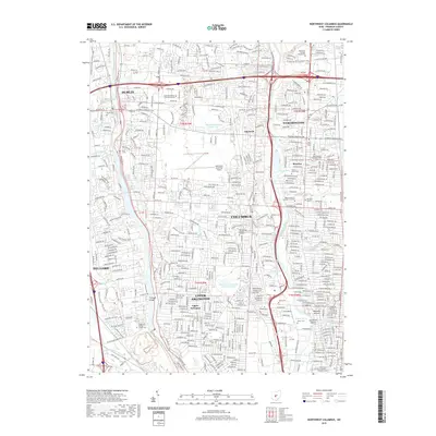
1964 Northeast Columbus
Franklin County, OH
1964 Southeast Columbus
Franklin County, OH
1965 Northwest Columbus
Franklin County, OH
1965 Southwest Columbus
Franklin County, OH
1966 Galloway
Franklin County, OH
1995 Northeast Columbus
Franklin County, OH
1995 Northwest Columbus
Franklin County, OH
2010 Galloway
Franklin County, OH
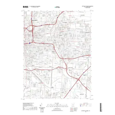
2010 Northeast Columbus
Franklin County, OH
2010 Northwest Columbus
Franklin County, OH
2010 Southeast Columbus
Franklin County, OH
2010 Southwest Columbus
Franklin County, OH
2013 Galloway
Franklin County, OH
2013 Northeast Columbus
Franklin County, OH
2013 Northwest Columbus
Franklin County, OH
2013 Southeast Columbus
Franklin County, OH
2013 Southwest Columbus
Franklin County, OH
2016 Galloway
Franklin County, OH
2016 Northeast Columbus
Franklin County, OH
2016 Northwest Columbus
Franklin County, OH
2016 Southeast Columbus
Franklin County, OH
2016 Southwest Columbus
Franklin County, OH
2019 Galloway
Franklin County, OH
2019 Northeast Columbus
Franklin County, OH
2019 Northwest Columbus
Franklin County, OH
2019 Southeast Columbus
Franklin County, OH
2019 Southwest Columbus
Franklin County, OH
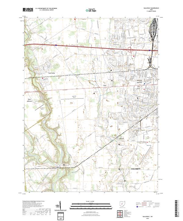
2023 Galloway
Franklin County, OH
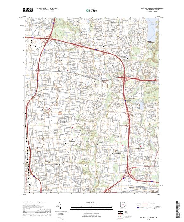
2023 Northeast Columbus
Franklin County, OH
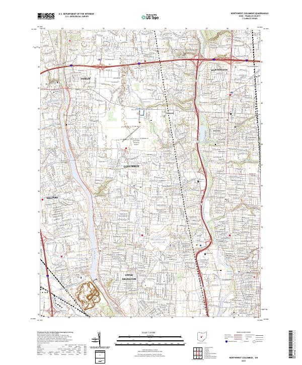
2023 Northwest Columbus
Franklin County, OH
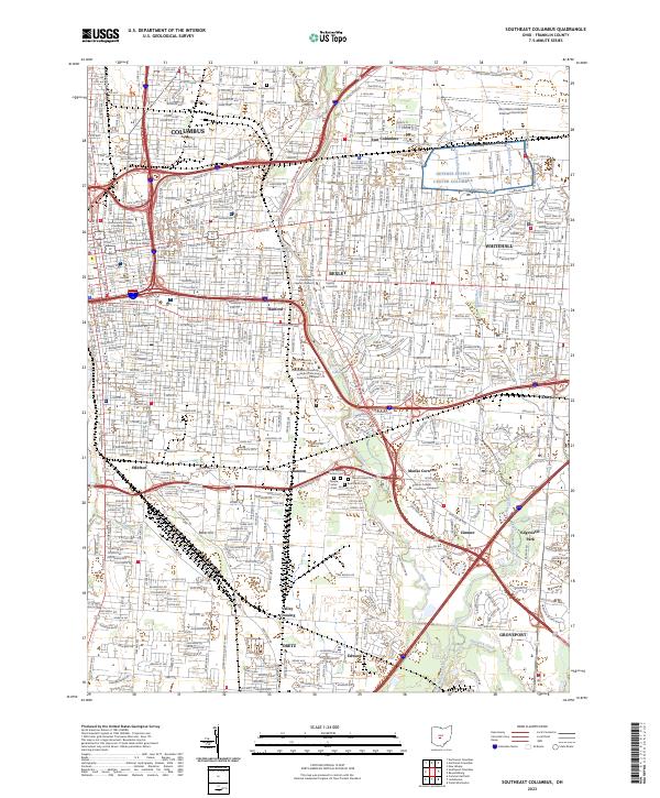
2023 Southeast Columbus
Franklin County, OH
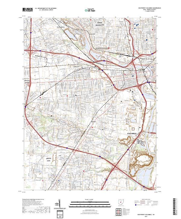
2023 Southwest Columbus
Franklin County, OH