2010s Maps of Pike County, Ohio
Explore 60 historic maps of Pike County from the 2010s. These maps offer a rare glimpse into what life looked like during the 2010s — showing old roads, neighborhoods, homes, and landmarks that have changed or disappeared over time.
Whether you're researching your family's past, planning a metal detecting trip, or studying how Pike County's landscape evolved across the 2010s, these high-resolution maps are a powerful tool for exploring the history of this region.
- Focus on a specific era: All maps on this page are from the 2010s, giving you a focused view of this time period.
- See what’s changed: Compare century-old streets, trails, and buildings to today's modern landscape using overlays and satellite layers.
- Research with precision: Use these maps for genealogy, historical research, land use analysis, or educational projects.
- View, download, or print: Maps are fully viewable online in high resolution, and can be downloaded or printed for your own records.
Start exploring Pike County's history through authentic maps from the 2010s. This is your window into the past.
Pike County, OH maps
(60)- 2010 Map of Rarden, 2010 Print
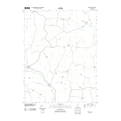 2010 Rarden2010 Print · USGSScioto County's interior ridges and creek valleys are documented here at the start of the decade. Genealogists and local historians can trace family locations through numerous sites like Saint Patricks Cemetery, Mount Joy, and the Rarden Post Office.
 - 2010 Map of Wakefield, 2010 Print
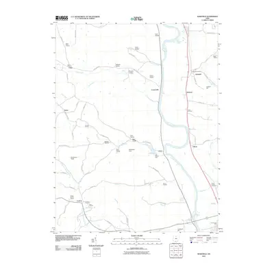 2010 Wakefield2010 Print · USGSSouthern Ohio's Scioto River valley is captured here in the early twenty-first century, showing the enduring rural layout of Pike County. Researchers can trace family history through a high concentration of cemeteries and small settlements like Coopersville, Wakefield, and the Scioto County Fairgrounds.
 - 2010 Map of Latham, 2010 Print
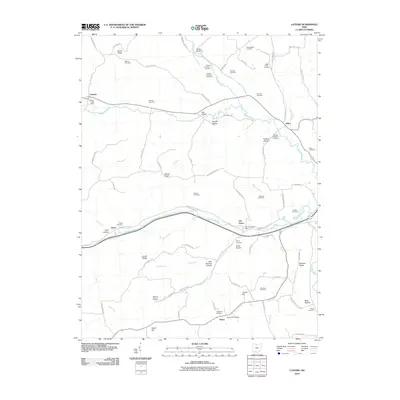 2010 Latham2010 Print · USGSPike County at the turn of the millennium remains a landscape of high ridges and hollows carved by the Sunfish Creek watershed. Genealogists can trace family names through dozens of sites like the West McBee Cemetery, Gardner Cemetery, and Latham Post Office.
 - 2010 Map of Beaver, 2010 Print
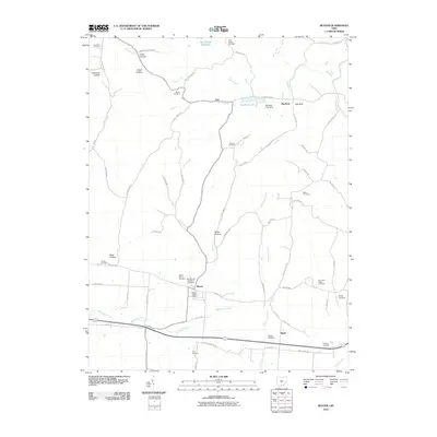 2010 Beaver2010 Print · USGSSouthern Ohio at the turn of the decade reveals a landscape of family-named hollows and deep-rooted rural communities. Genealogists can trace family lines through sites like Old German Number 2 Cemetery, the Barton Cemetery, and the Beaver Union Cemetery.
 - 2010 Map of Piketon, 2010 Print
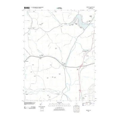 2010 Piketon2010 Print · USGSThe Scioto River valley comes alive in this 2010 study of Pike County, capturing the communities of Piketon and Jasper before modern shifts. Genealogists can trace family names at Mound Cemetery and Vine Chapel Cemetery or explore the shores of Lake White.
 - 2010 Map of Byington, 2010 Print
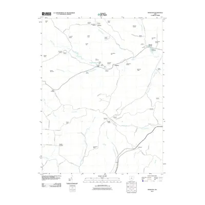 2010 Byington2010 Print · USGSSouthern Ohio's ridge-and-hollow country is documented here in the early twenty-first century, showing the rural communities of Pike County. Genealogists can locate family landmarks like the Poplargrove Post Office, Mount Zion Cemetery, and Grooms.
 - 2010 Map of Richmond Dale, 2010 Print
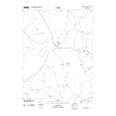 2010 Richmond Dale2010 Print · USGSThe Scioto River valley and Salt Creek confluence are captured here in the early twenty-first century. Researchers can trace numerous family burial sites and rural settlements, including Richmond Dale, Lickskillet, and the German Chapel Cemetery.
 - 2010 Map of Sinking Spring, 2010 Print
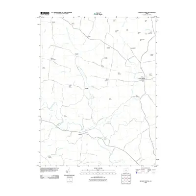 2010 Sinking Spring2010 Print · USGSHighland County hills are captured here in the early twenty-first century, showing a landscape shaped by ancient earthworks and pioneer burial grounds. Genealogists can trace family names at Pisgah Cemetery and Dunkard Ridge Cemetery or locate the historic Serpent Mound.
 - 2010 Map of Bainbridge, 2010 Print
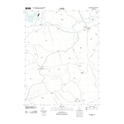 2010 Bainbridge2010 Print · USGSSouthern Ohio's ridge country is captured here during the first decade of the new millennium, centered on the historic village of Bainbridge. Local researchers can locate family plots at Hulitt Cemetery or Pake Cemetery, and trace old routes through Jimtown Hollow and Whiskey Hollow.
 - 2010 Map of Waverly South, 2010 Print
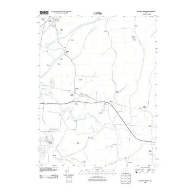 2010 Waverly South2010 Print · USGSWaverly and the Scioto River valley are shown in detail during the early 21st century, revealing a landscape of historic river settlements and industrial sites. Genealogists can locate over a dozen burial grounds such as Evergreen Cemetery, Lucas Cemetery, and Germany Cemetery.
 - 2010 Map of Lucasville, 2010 Print
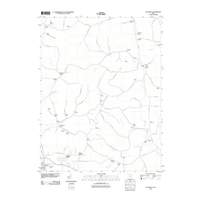 2010 Lucasville2010 Print · USGSLucasville and the hollows of Scioto County are captured here in the early twenty-first century. Researchers can trace family history through a dense network of burial sites like Slavens Cemetery and Luckett Cemetery, or find landmarks like Stockdale Siding.
 - 2010 Map of Stockdale, 2010 Print
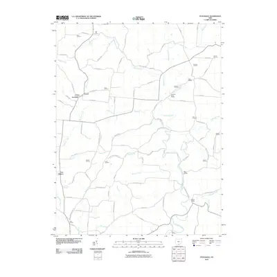 2010 Stockdale2010 Print · USGSStockdale and the surrounding Scioto County countryside are documented here in the early twenty-first century, revealing a landscape of winding river valleys and ridge-top cemeteries. Genealogists can trace family landmarks and burial sites like Bethesda Cemetery, Mault Cemetery, and the Johnson Road Bridge crossing the Little Scioto River.
 - 2010 Map of Morgantown, 2010 Print
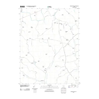 2010 Morgantown2010 Print · USGSMorgantown and the surrounding Pike County hills are shown here in the early twenty-first century, before recent landscape shifts. Genealogists can trace family lines through numerous sites like Greenbrier Cemetery, Seip Mound, and Nipgen.
 - 2010 Map of Summithill, 2010 Print
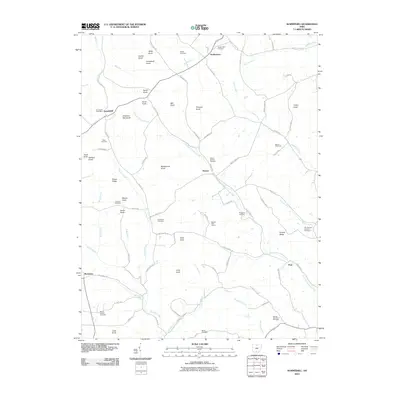 2010 Summithill2010 Print · USGSPike County in the early twenty-first century remains a landscape of prominent knobs and winding creek valleys. Genealogists and local historians can trace family burial sites at Asbury Chapel Cemetery or Seelig Cemetery, and locate the Summithill Post Office.
 - 2010 Map of Waverly North, 2010 Print
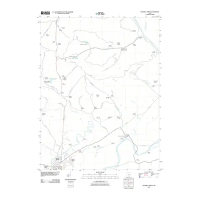 2010 Waverly North2010 Print · USGSSouthern Ohio at the turn of the decade reveals a landscape of deep family hollows and river-bottom agriculture near the Scioto. Trace local history through numerous burial sites like Old Omega Cemetery and small communities like Alma and Pride.
 - 2013 Map of Rarden, 2013 Print
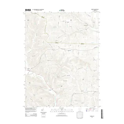 2013 Rarden2013 Print · USGSThe hill country of Scioto County is captured here in the early twenty-first century, showing the rural communities between Rarden and Mount Joy. Family historians can locate numerous upland burial sites like Old Hackworth Cemetery and Saint Patricks Cemetery.
 - 2013 Map of Richmond Dale, 2013 Print
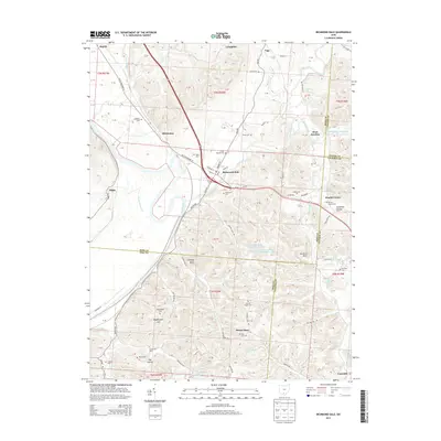 2013 Richmond Dale2013 Print · USGSRoss and Pike counties in the early 2010s show a landscape of river-bottom settlements and upland family cemeteries. Genealogists can trace local roots through German Chapel Cem, Stockman Cem, and settlements like Richmond Dale or Lickskillet.
 - 2013 Map of Waverly North, 2013 Print
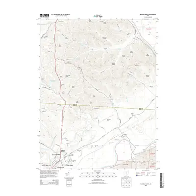 2013 Waverly North2013 Print · USGSWaverly and the Scioto River valley are shown here just after the first decade of the new millennium. Genealogists and local historians can trace family plots at Floral Hills Cem and Old Omega Cem or locate the quiet settlements of Antonis and Omega.
 - 2013 Map of Beaver, 2013 Print
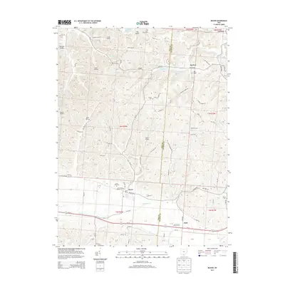 2013 Beaver2013 Print · USGSSouthern Ohio at the start of the 2010s reveals a landscape of deep hollows and rural crossroads centered on the village of Beaver. Genealogists can trace family names through numerous burial sites like Beaver Union Cem and the Old German Number 2 Cem.
 - 2013 Map of Wakefield, 2013 Print
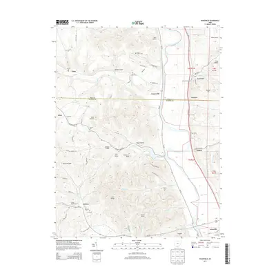 2013 Wakefield2013 Print · USGSThe Scioto River valley in Pike and Scioto Counties comes alive in this modern survey, showing a landscape of deep hollows and river-bottom settlements. Researchers can trace numerous family-named landmarks and burial sites, including Mt Zion Number 3 Cem, Hidden Quarry Airport, and the community of Wakefield.
 - 2013 Map of Waverly South, 2013 Print
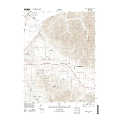 2013 Waverly South2013 Print · USGSPike County at the start of the 2010s shows a landscape of deep hollows and industrial transition near the Scioto River. Genealogists can locate family landmarks like Greggs Hill and numerous burial grounds including Evergreen Cem and Givens Chapel Cem.
 - 2013 Map of Piketon, 2013 Print
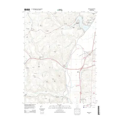 2013 Piketon2013 Print · USGSPiketon and the Scioto River valley appear here in the early 2010s, showing a landscape defined by riverside settlements and high ridges. Researchers can locate numerous family and community burial sites like Yankee Hill Cem, Mound Cem, and Pfeifer Cem.
 - 2013 Map of Byington, 2013 Print
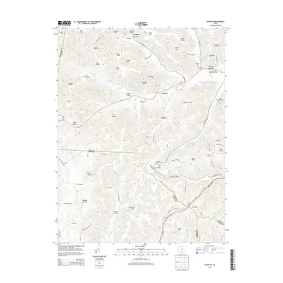 2013 Byington2013 Print · USGSSouthern Ohio's rural hills and the borderlands of Pike, Adams, Highland, and Scioto counties are documented in this 2013 survey. Genealogists and local historians can trace family locations near Kincaid Springs, Poplar Grove, and several local burial sites like Mt Zion Cem.
 - 2013 Map of Latham, 2013 Print
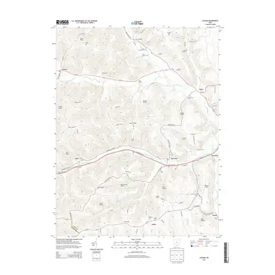 2013 Latham2013 Print · USGSPike County at the start of the 2010s shows a landscape of deep hollows and high ridges centered around Latham. Researchers can trace generations of local families through numerous small burial sites like Arkoe Cem, Old Smith Cem, and Gardner Cem.
 - 2013 Map of Summithill, 2013 Print
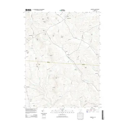 2013 Summithill2013 Print · USGSThe borderlands of Ross and Pike Counties are shown in detail during the early twenty-first century, featuring a landscape of prominent knobs and rural settlements. Genealogists can locate several family-named landmarks and burial grounds, including Yankee Hill Cem, Klutz Cem, and the settlement of Summithill.
Showing maps 1-25 of 60
Top cities of Pike County
Frequently asked questions
- What are the different types of historical maps available for Pike County?
- What is the oldest map of Pike County?
- Where can I purchase historical maps of Pike County for my home or office?
- Where can I download high-res historical maps of Pike County?
- Are there historical topographic maps available for Pike County?
- Is there historical aerial imagery available for Pike County?
- Where are historical maps of Pike County sourced from?