1900s (20th Century) Maps of Richland County, Ohio
Explore 27 historic maps of Richland County from the 1900s (20th Century). These maps offer a rare glimpse into what life looked like during the 1900s — showing old roads, neighborhoods, homes, and landmarks that have changed or disappeared over time.
Whether you're researching your family's past, planning a metal detecting trip, or studying how Richland County's landscape evolved across the 1900s, these high-resolution maps are a powerful tool for exploring the history of this region.
- Focus on a specific era: All maps on this page are from the 1900s, giving you a focused view of this time period.
- See what’s changed: Compare century-old streets, trails, and buildings to today's modern landscape using overlays and satellite layers.
- Research with precision: Use these maps for genealogy, historical research, land use analysis, or educational projects.
- View, download, or print: Maps are fully viewable online in high resolution, and can be downloaded or printed for your own records.
Start exploring Richland County's history through authentic maps from the 1900s. This is your window into the past.
Richland County, OH maps
(27)- 1908 Map of Ashland
 1908 Ashland1908 Print · USGSAshland and its surrounding townships are captured in 1908 at the height of the steam and electric rail era. Researchers can trace the path of the Erie Electric line or locate family-named landmarks like Anderson School and Dickey Church.4 unique versions available
 - 1912 Map of Perrysville, 1959 Print
 1912 Perrysville1959 Print · USGSRichland and Ashland counties were thriving agricultural and rail hubs during this era of rural development. Genealogists and local historians can trace the specific locations of many vanished schools and landmarks, from Black Swamp School to the prominent Gatton Rock.
 - 1915 Map of Crestline, 1943 Print
 1915 Crestline1943 Print · USGSRichland and Crawford counties thrive as a vital railroad corridor in the years before the Great War. Genealogists can locate family homesteads near dozens of numbered district schools or trace the industrial pulse of Crestline, Shelby, and the Spore Mill.
 - 1915 Map of Perrysville, 1944 Print
 1915 Perrysville1944 Print · USGSAshland and Richland counties are captured here just before the First World War, when the landscape was a patchwork of small school districts and river-bottom farms. Genealogists can locate family landmarks such as St James School, the Treaty 1795 Line, and the rural village of Newville.
 - 1915 Map of Shauck, 1946 Print
 1915 Shauck1946 Print · USGSRichland County and its neighbors are captured here just before the First World War, showing a landscape of established rail hubs and rural school districts. Genealogists can locate family homesteads near Johnsville Shauck PO, Steam Corners, or Bellville.
 - 1943 Map of Shauck
 1943 Shauck1943 Print · USGSNorth Central Ohio is captured here in the mid-1940s, showing a landscape of small agricultural hamlets and a dense network of country schools. Genealogists and researchers can trace local landmarks like Johnsville Shauck P O, Chestnut Chapel, and the Erie RR corridor.
 - 1943 Map of Crestline
 1943 Crestline1943 Print · USGSNorth-central Ohio is seen at a mid-century industrial peak, dominated by the massive rail corridors of the PENNSYLVANIA and ERIE lines. Genealogists and historians can trace the rural landscape through dozens of numbered schoolhouses and small settlements like Planktown, Ganges, and Toledo Jc.2 unique versions available
 - 1944 Map of Perrysville
 1944 Perrysville1944 Print · USGSThe Mohican River valley in the mid-1940s reveals a transition from traditional milling to modern water management with the Pleasant Hill Reservoir. Genealogists can trace family footprints across dozens of country school sites like Knotty Oak Sch and the vanished crossroads of Black Swamp.
 - 1950 Map of Marion
 1950 Marion1950 Print · USGSCentral Ohio was a powerhouse of rail and river industry at the mid-century point, serving as a vital corridor between the Great Lakes and the Ohio River valley. Genealogists and rail historians can trace the paths of the Erie RR and Nickel Plate Road through towns like Bucyrus, Galion, and Upper Sandusky.
 - 1960 Map of Shelby, 1961 Print
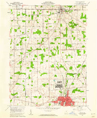 1960 Shelby1961 Print · USGSThe Richland County countryside was a landscape of military readiness and rail industry in the early sixties. Trace old family plots at Hanna Cem, visit the rural Little Rebecca Ch, or locate the sprawling Wilkins Air Force Station.3 unique versions available
 - 1960 Map of Pavonia, 1962 Print
 1960 Pavonia1962 Print · USGSRichland and Ashland counties are captured during a period of mid-century suburban growth and water management. Genealogists can trace family names at Smeltzer Cem and Pittenger Cem or locate old landmarks like Pavonia and Windsor.3 unique versions available
 - 1960 Map of Mansfield North, 1962 Print
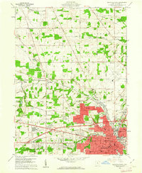 1960 Mansfield North1962 Print · USGSRichland County at the start of the 1960s shows a landscape of heavy industry and vital rail corridors. Trace family history at Sacred Heart Seminary or follow the historic tracks of the Pennsylvania and Baltimore and Ohio railroads.4 unique versions available
 - 1960 Map of Olivesburg, 1962 Print
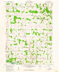 1960 Olivesburg1962 Print · USGSThe Richland and Ashland county borderlands in the early sixties reveal a settled agricultural landscape of crossroads hamlets and family farmsteads. Researchers can trace the layout of Adario, find the Amish Sch, and locate the Blooming Grove Cem.4 unique versions available
 - 1960 Map of Crestline, 1962 Print
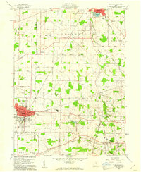 1960 Crestline1962 Print · USGSThe industrial rail hub of Crestline and Shelby comes into focus in 1960 as several major lines intersect. Genealogists and historians can trace family plots at Green Lawn Cem, locate the Drive-in Theater, and find early aviation sites like American Tower Landing Field.3 unique versions available
 - 1960 Map of Shiloh, 1962 Print
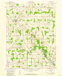 1960 Shiloh1962 Print · USGSRichland and Huron counties come together in this early 1960s survey of North Central Ohio's farming and rail corridor. Genealogists can trace family names and local landmarks like Mount Hope Cem, the settlement of Planktown, and the tracks of the New York Central railroad.4 unique versions available
 - 1961 Map of Blooming Grove, 1962 Print
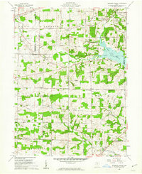 1961 Blooming Grove1962 Print · USGSThe borderlands of Morrow and Richland counties are captured here in the early sixties as the Clear Fork Reservoir shapes the landscape. Family historians can trace small crossroads communities like Blooming Grove, Steam Corners, and Jugs Corners, along with local burial sites including Red Squirrel Cem.4 unique versions available
 - 1961 Map of Shauck, 1962 Print
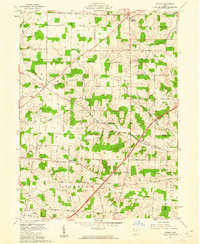 1961 Shauck1962 Print · USGSThe rural border of Morrow and Knox counties is captured here in the early sixties, showing a landscape of scattered farmsteads and small crossroads. Genealogists can trace family landmarks like Pleasant Grove Ch, Pulaskiville, and Shauck.4 unique versions available
 - 1961 Map of Mansfield South, 1962 Print
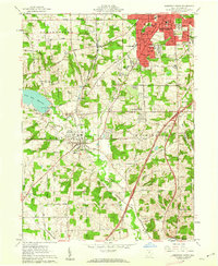 1961 Mansfield South1962 Print · USGSRichland County at the start of the sixties shows a landscape of growing suburbs and rural crossroads. Researchers can trace the expansion of Mansfield south toward Lexington or locate family sites near Hilton Ch and Kings Corners.5 unique versions available
 - 1961 Map of Bellville, 1962 Print
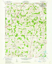 1961 Bellville1962 Print · USGSRichland and Knox counties in the early sixties remain defined by their historic survey boundaries and rural crossroads. Genealogists and historians can trace family roots through sites like Strong Cem, the Lutheran Ch, and small rail-side settlements like Ankenytown.3 unique versions available
 - 1961 Map of Perrysville, 1963 Print
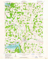 1961 Perrysville1963 Print · USGSAshland and Richland counties are captured here in the early sixties as industrial flood control and rural energy production shaped the valley. Genealogists and local historians can trace family plots at Green Lawn Cem or Shambaugh Cem and locate vanished landmarks like the Long Landing Strip and Widowville.3 unique versions available
 - 1961 Map of Jelloway, 1963 Print
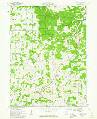 1961 Jelloway1963 Print · USGSNorth-central Ohio in the early sixties reveals a landscape of state forests and upland farms bisected by the historic Greenville Treaty Line. Genealogists and local historians can trace rural roots at Ireland, Jelloway, and Nunda, or locate family sites near Salem Ch and Biglow Ch.3 unique versions available
 - 1961 Map of Lucas, 1963 Print
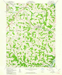 1961 Lucas1963 Print · USGSRichland County at the start of the 1960s reveals a landscape of watershed management and traditional rail-bound commerce. Genealogists and historians can trace family locations through numerous small burying grounds like Mt Olive Cem and historic sites such as Culler Mill near Lucas.3 unique versions available
 - 1961 Map of Butler, 1963 Print
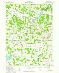 1961 Butler1963 Print · USGSRichland and Knox counties are shown in the early sixties as the regional landscape transitioned around the newly formed KNOX LAKE. Genealogists can trace family names through landmarks like Dutch Hill Cem and the rural crossroads at North Liberty.4 unique versions available
 - 1962 Map of Marion
 1962 Marion1962 Print · USGSCentral Ohio during the post-war era showcases a dense network of railroad towns and emerging interstate highways. Genealogists can trace family roots in smaller settlements like Houcktown and Marseilles or locate landmarks near Indian Lake.
 - 1966 Map of Marion, 1968 Print
 1966 Marion1968 Print · USGSCentral Ohio in the mid-sixties is captured during a period of rapid highway expansion and industrial connectivity. Genealogists and historians can trace rail-and-river networks through towns like Marion, Urbana, and Mount Vernon, or locate landmarks such as Malabar Farm and Black Hand Rock.3 unique versions available
Showing maps 1-25 of 27
Top cities of Richland County
Frequently asked questions
- What are the different types of historical maps available for Richland County?
- What is the oldest map of Richland County?
- Where can I purchase historical maps of Richland County for my home or office?
- Where can I download high-res historical maps of Richland County?
- Are there historical topographic maps available for Richland County?
- Is there historical aerial imagery available for Richland County?
- Where are historical maps of Richland County sourced from?