Old Maps of Bellville, Ohio for Genealogy
Trace your family roots with 16 historic maps of Bellville. These high-res maps reveal old neighborhoods, homesites, landmarks, and streets — helping you uncover where your ancestors lived and how the area evolved over time.
- Explore historic neighborhoods: Identify where your relatives may have lived in the 1800s or 1900s.
- Compare maps over time: Trace the changes in streets, buildings, and landmarks for multi-generational research.
- Perfect for genealogy & ancestry research: Used by family historians and researchers to map out lineage and migration.
These maps are an incredible resource for exploring your personal connection to Bellville's past.
Bellville, OH maps
(16)- 1912 Map of Perrysville, 1959 Print
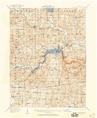 1912 Perrysville1959 Print · USGSCovers Bellville, including Mansfield, Loudonville, and other nearby areas
 - 1915 Map of Perrysville, 1944 Print
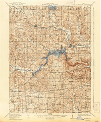 1915 Perrysville1944 Print · USGSCovers Bellville, including Mansfield, Loudonville, and other nearby areas
 - 1915 Map of Shauck, 1946 Print
 1915 Shauck1946 Print · USGSCovers Bellville, including Mansfield, Galion, and other nearby areas
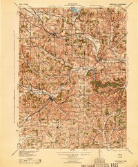
 - 1943 Map of Shauck
 1943 Shauck1943 Print · USGSCovers Bellville, including Mansfield, Galion, and other nearby areas
 - 1944 Map of Perrysville
 1944 Perrysville1944 Print · USGSCovers Bellville, including Mansfield, Loudonville, and other nearby areas
 - 1950 Map of Marion
 1950 Marion1950 Print · USGSCovers Bellville, including Columbus, Newark, and other nearby areas
 - 1961 Map of Mansfield South, 1962 Print
 1961 Mansfield South1962 Print · USGSCovers Bellville, including Mansfield, Ontario, and other nearby areas5 unique versions available
 - 1961 Map of Bellville, 1962 Print
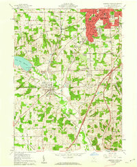
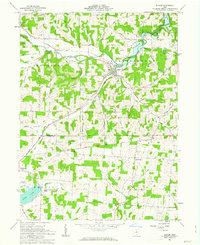
 1961 Bellville1962 Print · USGSCovers Bellville, including Ankenytown, Berlin Township, and other nearby areas3 unique versions available
 - 1961 Map of Butler, 1963 Print
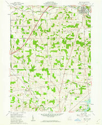
 1961 Butler1963 Print · USGSCovers Bellville, including Butler, Berger, and other nearby areas4 unique versions available
 - 1962 Map of Marion
 1962 Marion1962 Print · USGSCovers Bellville, including Columbus, Newark, and other nearby areas
 - 1966 Map of Marion, 1968 Print
 1966 Marion1968 Print · USGSCovers Bellville, including Columbus, Newark, and other nearby areas3 unique versions available
 - 1986 Map of Mansfield
 1986 Mansfield1986 Print · USGSCovers Bellville, including Mansfield, Ashland, and other nearby areas
 - 1994 Map of Mansfield
 1994 Mansfield1994 Print · USGSCovers Bellville, including Mansfield, Ashland, and other nearby areas
 - 2023 Map of Butler, 2023 Print
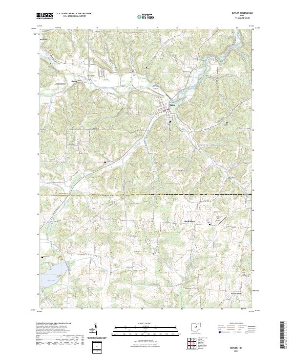 2023 Butler2023 Print · USGSCovers Bellville, including Butler, Berlin Township, and other nearby areas
 - 2023 Map of Bellville, 2023 Print
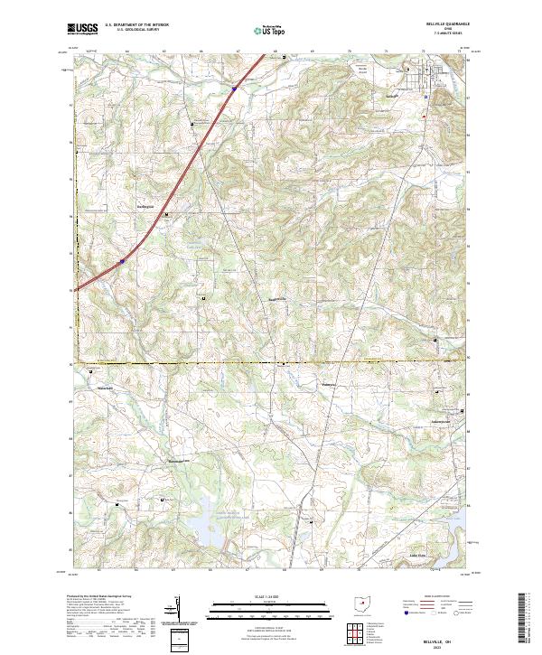 2023 Bellville2023 Print · USGSCovers Bellville, including Perry Township, Berlin Township, and other nearby areas
 - 2023 Map of Mansfield South, 2023 Print
 2023 Mansfield South2023 Print · USGSCovers Bellville, including Mansfield, Ontario, and other nearby areas
End of results
Showing maps 1-16 of 16
Top cities near Bellville
- Mansfield historical maps
- Ashland historical maps
- Mount Vernon historical maps
- Galion historical maps
- Shelby historical maps
- Howard historical maps
See more
Frequently asked questions
- What are the different types of historical maps available for Bellville?
- What is the oldest map of Bellville?
- Where can I purchase historical maps of Bellville for my home or office?
- Where can I download high-res historical maps of Bellville?
- Are there historical topographic maps available for Bellville?
- Is there historical aerial imagery available for Bellville?
- Where are historical maps of Bellville sourced from?