Old Maps of Bellville, Ohio for Hiking & Exploration
Hike through history with 28 historic maps of Bellville. Explore old trails, ghost towns, and forgotten backroads — perfect for outdoor adventurers and local explorers.
- Rediscover forgotten places: Map out old mining camps, roads, and footpaths that no longer exist on modern maps.
- Layer with modern tools: Combine with LiDAR or satellite views to plan hikes through historical terrain.
- Made for exploration: Popular among hikers, overlanders, and local history lovers.
Use these maps to find adventure and explore the hidden past of Bellville.
Bellville, OH maps
(28)- 1912 Map of Perrysville, 1959 Print
 1912 Perrysville1959 Print · USGSRichland and Ashland counties were thriving agricultural and rail hubs during this era of rural development. Genealogists and local historians can trace the specific locations of many vanished schools and landmarks, from Black Swamp School to the prominent Gatton Rock.
 - 1915 Map of Perrysville, 1944 Print
 1915 Perrysville1944 Print · USGSAshland and Richland counties are captured here just before the First World War, when the landscape was a patchwork of small school districts and river-bottom farms. Genealogists can locate family landmarks such as St James School, the Treaty 1795 Line, and the rural village of Newville.
 - 1915 Map of Shauck, 1946 Print
 1915 Shauck1946 Print · USGSRichland County and its neighbors are captured here just before the First World War, showing a landscape of established rail hubs and rural school districts. Genealogists can locate family homesteads near Johnsville Shauck PO, Steam Corners, or Bellville.
 - 1943 Map of Shauck
 1943 Shauck1943 Print · USGSNorth Central Ohio is captured here in the mid-1940s, showing a landscape of small agricultural hamlets and a dense network of country schools. Genealogists and researchers can trace local landmarks like Johnsville Shauck P O, Chestnut Chapel, and the Erie RR corridor.
 - 1944 Map of Perrysville
 1944 Perrysville1944 Print · USGSThe Mohican River valley in the mid-1940s reveals a transition from traditional milling to modern water management with the Pleasant Hill Reservoir. Genealogists can trace family footprints across dozens of country school sites like Knotty Oak Sch and the vanished crossroads of Black Swamp.
 - 1950 Map of Marion
 1950 Marion1950 Print · USGSCentral Ohio was a powerhouse of rail and river industry at the mid-century point, serving as a vital corridor between the Great Lakes and the Ohio River valley. Genealogists and rail historians can trace the paths of the Erie RR and Nickel Plate Road through towns like Bucyrus, Galion, and Upper Sandusky.
 - 1961 Map of Mansfield South, 1962 Print
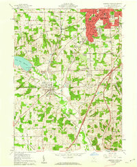 1961 Mansfield South1962 Print · USGSRichland County at the start of the sixties shows a landscape of growing suburbs and rural crossroads. Researchers can trace the expansion of Mansfield south toward Lexington or locate family sites near Hilton Ch and Kings Corners.5 unique versions available
 - 1961 Map of Bellville, 1962 Print
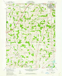 1961 Bellville1962 Print · USGSRichland and Knox counties in the early sixties remain defined by their historic survey boundaries and rural crossroads. Genealogists and historians can trace family roots through sites like Strong Cem, the Lutheran Ch, and small rail-side settlements like Ankenytown.3 unique versions available
 - 1961 Map of Butler, 1963 Print
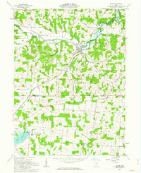 1961 Butler1963 Print · USGSRichland and Knox counties are shown in the early sixties as the regional landscape transitioned around the newly formed KNOX LAKE. Genealogists can trace family names through landmarks like Dutch Hill Cem and the rural crossroads at North Liberty.4 unique versions available
 - 1962 Map of Marion
 1962 Marion1962 Print · USGSCentral Ohio during the post-war era showcases a dense network of railroad towns and emerging interstate highways. Genealogists can trace family roots in smaller settlements like Houcktown and Marseilles or locate landmarks near Indian Lake.
 - 1966 Map of Marion, 1968 Print
 1966 Marion1968 Print · USGSCentral Ohio in the mid-sixties is captured during a period of rapid highway expansion and industrial connectivity. Genealogists and historians can trace rail-and-river networks through towns like Marion, Urbana, and Mount Vernon, or locate landmarks such as Malabar Farm and Black Hand Rock.3 unique versions available
 - 1986 Map of Mansfield
 1986 Mansfield1986 Print · USGSNorth-central Ohio in the mid-eighties shows a landscape of industrial towns and large-scale water management projects. Researchers can trace historic sites like the Mansfield Reformatory, Malabar Farm State Park, and the racing grounds at Mid-Ohio Race Course.
 - 1994 Map of Mansfield
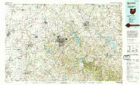 1994 Mansfield1994 Print · USGSThe Mansfield and Ashland corridor of the 1990s reveals a landscape of industrial rail junctions and extensive state forests. You can trace the drainage of the Mohican River through reservoirs like Charles Mill Lake or locate sites such as Malabar Farm State Park.
 - 2010 Map of Butler, 2010 Print
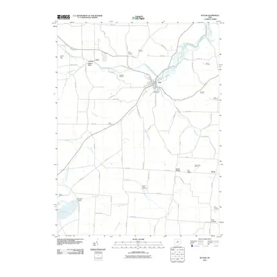 2010 Butler2010 Print · USGSThe village of Butler and its surrounding Richland County countryside are captured here in the early twenty-first century. Genealogists and researchers can trace local lineage through a dozen burial sites like Independence Cemetery and Dutch Hill Cemetery or locate landmarks such as Gatton Rock.
 - 2010 Map of Bellville, 2010 Print
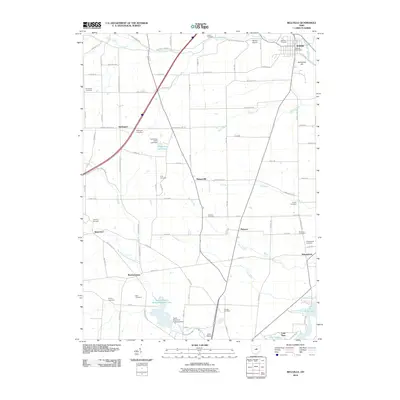 2010 Bellville2010 Print · USGSRichland and Knox counties are shown in detail during the early twenty-first century, documenting a rural landscape of dispersed hamlets and waterways. Genealogists can trace family histories through numerous burial sites like Friends Cemetery and Conley Cemetery, or locate landmarks such as Schweitzer Hill.
 - 2010 Map of Mansfield South, 2010 Print
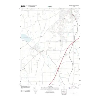 2010 Mansfield South2010 Print · USGSRichland County at the turn of the decade shows the steady growth of Lexington and the rural lands south of Mansfield. Researchers can locate several burial grounds including Lexington Cemetery and Troy Cemetery, or trace landmarks like Apple Hill Orchards and Lake Maria.
 - 2013 Map of Bellville, 2013 Print
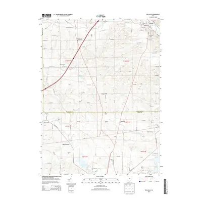 2013 Bellville2013 Print · USGSRichland and Knox counties are captured in this early twenty-first-century survey, centered on the settlement of Bellville. Genealogists can trace family landmarks and burial sites across the township, from Baldwin Cem to the namesake Ankenytown Cem.
 - 2013 Map of Butler, 2013 Print
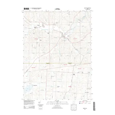 2013 Butler2013 Print · USGSRichland and Knox counties are shown here in the early twenty-first century as the Clear Fork Mohican River winds through the village of Butler. Local researchers can trace family plots at Independence Cemetery or locate regional landmarks like Gatton Rock and Hawk's Nest Airport.
 - 2013 Map of Mansfield South, 2013 Print
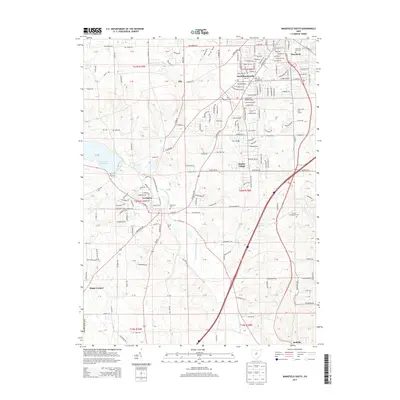 2013 Mansfield South2013 Print · USGSRichland County, Ohio, south of the county seat, displays a balance of suburban growth and traditional settlements in the early twenty-first century. Researchers can trace the layout of Hanley Village, locate family plots at Lexington Cem, or follow the course of the Clear Fork Mohican River.
 - 2016 Map of Bellville, 2016 Print
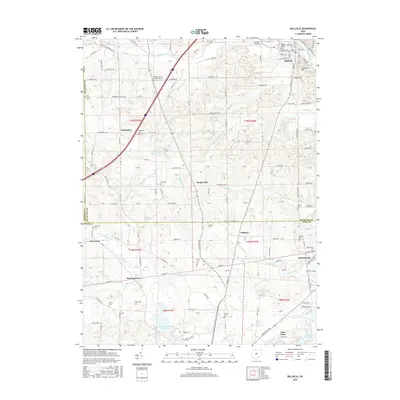 2016 Bellville2016 Print · USGSRichland and Knox counties are captured in this modern survey, showing a landscape defined by the Clear Fork Mohican River. Genealogists and historians can trace numerous rural burial sites like Old Center Cem and Ankenytown Cem near the village of Bellville.
 - 2016 Map of Butler, 2016 Print
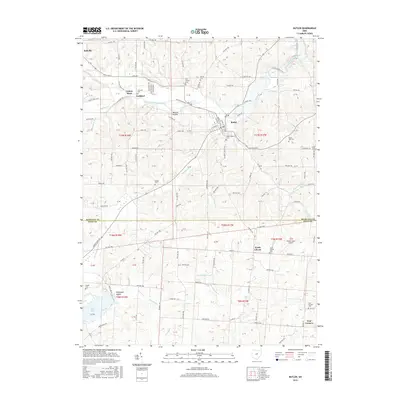 2016 Butler2016 Print · USGSRichland and Knox Counties are shown here in the mid-2010s, centered on the river valley settlements and upland farms. Researchers can trace local burial grounds and landmarks like Dutch Hill Cem, Gatton Rock, and Hawk's Nest Airport.
 - 2016 Map of Mansfield South, 2016 Print
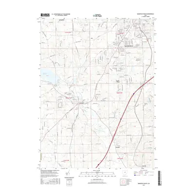 2016 Mansfield South2016 Print · USGSThe Mansfield and Lexington area of Richland County was a blend of growing suburban neighborhoods and quiet rural reaches in the mid-2010s. Researchers can trace family sites at the Mansfield City Cem and Troy Cem, or follow the industrial corridor of the B & O RR.
 - 2019 Map of Bellville, 2019 Print
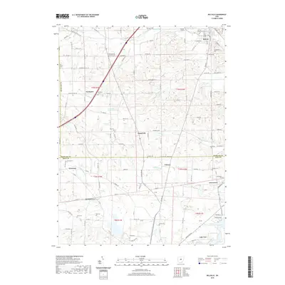 2019 Bellville2019 Print · USGSRichland and Knox counties are captured in the late 2010s, showcasing the rural character of the Clear Fork valley before modern shifts. Researchers can locate numerous family burial grounds and small settlements including Darlington, Ankenytown, and the Bender Airport.
 - 2019 Map of Mansfield South, 2019 Print
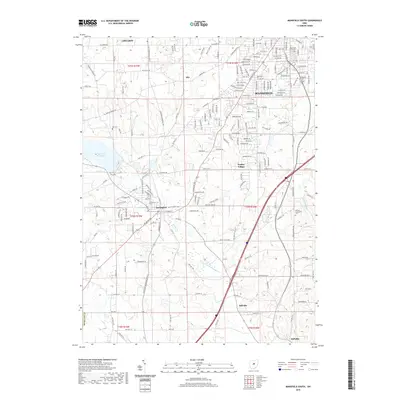 2019 Mansfield South2019 Print · USGSThe southern suburbs of Mansfield and the Clear Fork valley are captured here in the late 2010s. Local historians can trace established community landmarks like the Lexington Cem and Day Cem or the winding course of the Clear Fork-Mohican River.
 - 2019 Map of Butler, 2019 Print
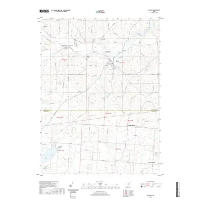 2019 Butler2019 Print · USGSRichland and Knox County are captured here in the late twenty-teens, showing the winding valley of the Clear Fork Mohican River. Genealogists can trace family names through numerous rural burial sites like Secrist Cem, Garber Cem, and North Liberty Cem.
Showing maps 1-25 of 28
Top cities near Bellville
- Mansfield historical maps
- Ashland historical maps
- Mount Vernon historical maps
- Galion historical maps
- Shelby historical maps
- Howard historical maps
See more
Frequently asked questions
- What are the different types of historical maps available for Bellville?
- What is the oldest map of Bellville?
- Where can I purchase historical maps of Bellville for my home or office?
- Where can I download high-res historical maps of Bellville?
- Are there historical topographic maps available for Bellville?
- Is there historical aerial imagery available for Bellville?
- Where are historical maps of Bellville sourced from?