Old Maps of Metzger, Ross County for Hiking & Exploration
Hike through history with 14 historic maps of Metzger. Explore old trails, ghost towns, and forgotten backroads — perfect for outdoor adventurers and local explorers.
- Rediscover forgotten places: Map out old mining camps, roads, and footpaths that no longer exist on modern maps.
- Layer with modern tools: Combine with LiDAR or satellite views to plan hikes through historical terrain.
- Made for exploration: Popular among hikers, overlanders, and local history lovers.
Use these maps to find adventure and explore the hidden past of Metzger.
Metzger, Ross County maps
(14)- 1906 Map of Chillicothe, 1954 Print
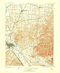 1906 Chillicothe1954 Print · USGSIn the early 1900s, this area of south-central Ohio was defined by a complex intersection of major railroads and river valleys. Researchers can trace the development of Chillicothe or locate ancestral sites at Londonderry, Bethel Chapel, and the County Infirmary.
 - 1908 Map of Chillicothe, 1943 Print
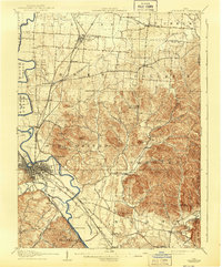 1908 Chillicothe1943 Print · USGSChillicothe and its surrounding rural townships thrive at a turn-of-the-century crossroads of river and rail. Trace old family landmarks and institutions like Mount Logan, Bethel Chapel, and the County Infirmary across Ross and Pickaway counties.
 - 1947 Map of Columbus, 1948 Print
 1947 Columbus1948 Print · USGSCentral Ohio in the late 1940s is captured in this survey, showing the post-war transition of its rail hubs and military airfield expansions. Genealogists and historians can trace the paths of the Ohio Canal, the Pennsylvania RR lines, and the Camp Sherman Military Reservation.
 - 1961 Map of Columbus
 1961 Columbus1961 Print · USGSCentral and Southern Ohio are captured here in the early sixties, as the region's industrial rail hubs and military bases reached their peak. Genealogists and historians can trace the transition from urban Columbus to rural townships along the Scioto River, locating Lockbourne USAF and old junctions like Washington Court House.
 - 1961 Map of Kingston, 1962 Print
 1961 Kingston1962 Print · USGSRoss and Pickaway counties in the early sixties reveal a landscape defined by the winding Scioto River and bustling rail lines. Genealogists and historians can trace family landmarks like Mt Pleasant Cem, Centralia Sch, and the rural community of Kinnikinnick.4 unique versions available
 - 1962 Map of Columbus
 1962 Columbus1962 Print · USGSCentral Ohio during the early sixties reveals a transition from the industrial corridors of Columbus to the forested ridges of the south. Genealogists and historians can trace the rail networks of the Baltimore & Ohio RR and find local landmarks like Washington Court House and Camp Sherman Military Reservation.
 - 1967 Map of Columbus, 1969 Print
 1967 Columbus1969 Print · USGSCentral Ohio during the late sixties serves as a vital corridor of rail and aviation, from the industrial streets of Springfield to the hangar lines of Lockbourne Air Force Base. Genealogists and researchers can trace the growth of towns like Circleville and London or locate rural landmarks such as St Paul church and the London Correctional Institution.2 unique versions available
 - 1980 Map of Wellston, 1982 Print
 1980 Wellston1982 Print · USGSThe hill country of south-central Ohio in the early eighties shows a landscape of expansive state forests and deep-rooted river towns. Genealogists and historians can trace rural heritage through sites like Buckeye Furnace State Memorial and Mount Zion Cemetery.
 - 1992 Map of Kingston, 1995 Print
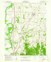
 1992 Kingston1995 Print · USGSNear the northern edge of Ross County in the early nineties, this area showcases the confluence of historical earthworks and modern transit. Researchers can trace ancestral sites at Mt Pleasant Cem, explore the grounds of Hopewell Culture National Historical Park, or locate the old Centralia Sch.
 - 2010 Map of Kingston, 2010 Print
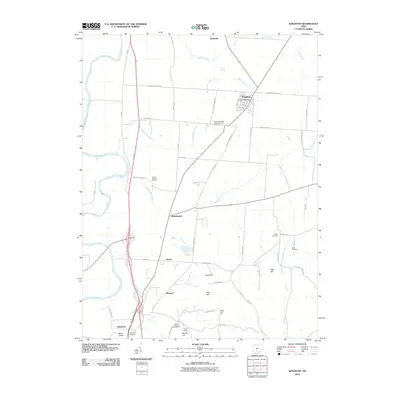 2010 Kingston2010 Print · USGSCovers Metzger, including Kingston, Kinnikinnick, and other nearby areas
 - 2013 Map of Kingston, 2013 Print
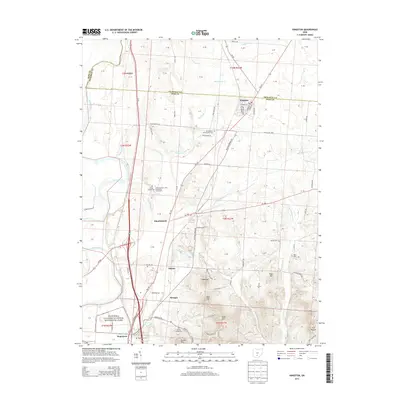 2013 Kingston2013 Print · USGSCovers Metzger, including Kingston, Kinnikinnick, and other nearby areas
 - 2016 Map of Kingston, 2016 Print
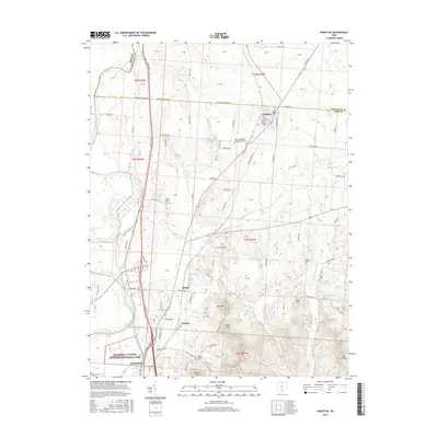 2016 Kingston2016 Print · USGSCovers Metzger, including Kingston, Kinnikinnick, and other nearby areas
 - 2019 Map of Kingston, 2019 Print
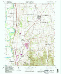
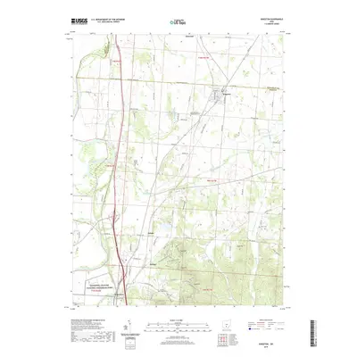 2019 Kingston2019 Print · USGSCovers Metzger, including Kingston, Kinnikinnick, and other nearby areas
 - 2023 Map of Kingston, 2023 Print
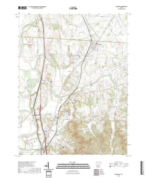 2023 Kingston2023 Print · USGSRoss and Pickaway counties meet in this agricultural corridor as it appeared recently, where ancient earthworks sit alongside established farming communities. Genealogists and historians can trace family locations through numerous rural sites like Bethel Cem or the grounds of Mount Pleasant Presbyterian Cem.
End of results
Showing maps 1-14 of 14
Frequently asked questions
- What are the different types of historical maps available for Metzger?
- What is the oldest map of Metzger?
- Where can I purchase historical maps of Metzger for my home or office?
- Where can I download high-res historical maps of Metzger?
- Are there historical topographic maps available for Metzger?
- Is there historical aerial imagery available for Metzger?
- Where are historical maps of Metzger sourced from?