Old Maps of Valley View, Ohio for Academic Research
Study the evolution of Valley View with 12 high-resolution historic maps. Whether you're teaching, researching, or modeling changes in land use, these maps provide essential visual documentation of urban, environmental, and geographic change.
- Analyze long-term change: Track patterns in development, transportation, and natural features.
- Ideal for environmental or urban studies: Support academic projects with primary historical map data.
- Use in the classroom or lab: Educators and researchers rely on these maps to bring historical context to life.
These maps are a powerful tool for teaching, research, and visualizing how Valley View has changed over the decades.
Valley View, OH maps
(12)- 1915 Map of Otway, 1958 Print
 1915 Otway1958 Print · USGSScioto and Pike Counties come alive in the decade before the First World War, showing a rural landscape anchored by the river and the rail. Researchers can trace dozens of country schoolhouses like Wetmore School and old rail stops at Otway or McDermott.2 unique versions available
 - 1917 Map of Otway, 1941 Print
 1917 Otway1941 Print · USGSScioto and Pike Counties are shown in great detail during the era of steam railroading and rural schoolhouses. You can trace the Norfolk and Western RR through Otway or locate family roots at sites like Hackworth Hill School and McDermott.
 - 1957 Map of Huntington, 1966 Print
 1957 Huntington1966 Print · USGSThe industrial heart of the Ohio River valley is captured here in the mid-sixties, showing the growth of Huntington and Ashland. Researchers can trace the extensive rail networks of the Chesapeake and Ohio RR and locate sites like the Chief Cornstalk Hunting Ground.3 unique versions available
 - 1960 Map of Huntington
 1960 Huntington1960 Print · USGSThe tri-state river valley thrived in the late fifties as a hub of heavy industry and Appalachian rail transit. Genealogists and historians can trace the connection between river towns like Ashland and Portsmouth or locate family homesteads near Coleman Ridge.
 - 1961 Map of West Portsmouth, 1963 Print
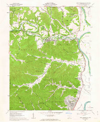 1961 West Portsmouth1963 Print · USGSWest Portsmouth and the Scioto River valley are captured here in the early sixties, showing a landscape of deep ridges and riverside industry. Researchers can trace family roots at Scioto Burial Park or locate the ancient Tremper Mound and old quarries near McDermott.4 unique versions available
 - 1986 Map of Maysville
 1986 Maysville1986 Print · USGSThe Ohio River valley in the mid-eighties reveals a landscape of industrial river towns and sprawling public lands spanning the Kentucky and Ohio border. Researchers can trace the rail corridors of the Chesapeake and Ohio Railway or locate landmarks like Confidence Cemetery and the Fleming-Mason Airport.
 - 1991 Map of Maysville
 1991 Maysville1991 Print · USGSThe Ohio River valley at the turn of the nineties reveals a landscape of river-bend towns and dense forest preserves. Trace local history through landmark sites like Confidence Cemetery, the small-town streets of Ripley, and the river reaches of Manchester Island No 1.
 - 2010 Map of West Portsmouth, 2010 Print
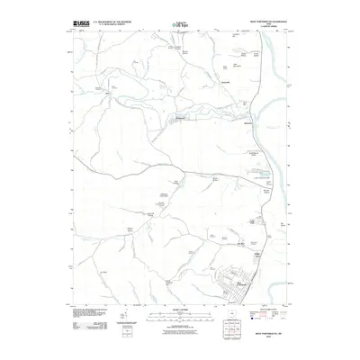 2010 West Portsmouth2010 Print · USGSThe Scioto River valley and its western hills come into sharp focus in this 2010 survey of the Ohio landscape. Researchers can locate numerous family cemeteries and historic landmarks like Tremper Mound, Scioto Burial Park, and Book Siding.
 - 2013 Map of West Portsmouth, 2013 Print
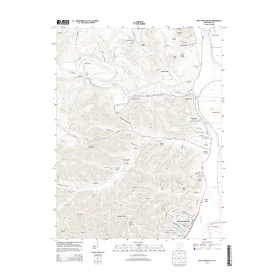 2013 West Portsmouth2013 Print · USGSScioto County's river valleys and rugged ridges are captured here in the early twenty-first century, centered on the confluence of Scioto-Brush Creek and the Scioto River. Genealogists can trace family burial sites like Lute Cem and Mershon Swords Cem, or locate landmarks such as Tremper Mound.
 - 2016 Map of West Portsmouth, 2016 Print
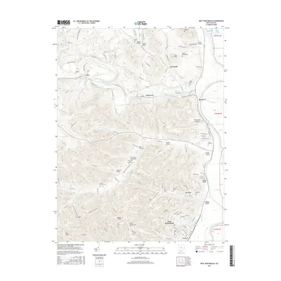 2016 West Portsmouth2016 Print · USGSSouthern Ohio at the bend of the Scioto River reveals a complex landscape of ancient earthworks and tight-knit valley settlements. Researchers can trace family history through numerous burial sites like Mershon-Swords Cem or explore the area around Tremper Mound and McDermott.
 - 2019 Map of West Portsmouth, 2019 Print
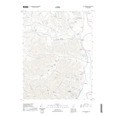 2019 West Portsmouth2019 Print · USGSScioto County during the late twenty-tens reveals a landscape of high ridges and named hollows north of the river. Researchers can trace family history through numerous burial sites like Holy Trinity Roman Catholic Cem, Hall Cem, and the ancient Tremper Mound.
 - 2023 Map of West Portsmouth, 2023 Print
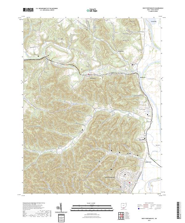 2023 West Portsmouth2023 Print · USGSWest Portsmouth and the Scioto River valley are shown here in recent years, documenting a landscape of deep hollows and river bends. Genealogists can locate numerous burial sites like Mershon-Swords Cem and landmarks such as the ancient Tremper Mound.
End of results
Showing maps 1-12 of 12
Frequently asked questions
- What are the different types of historical maps available for Valley View?
- What is the oldest map of Valley View?
- Where can I purchase historical maps of Valley View for my home or office?
- Where can I download high-res historical maps of Valley View?
- Are there historical topographic maps available for Valley View?
- Is there historical aerial imagery available for Valley View?
- Where are historical maps of Valley View sourced from?