Old Maps of Loudon Township, Ohio
Explore 29 old maps of Loudon Township, spanning from 1901 to today. These high-resolution historic maps reveal how streets, neighborhoods, landmarks, and natural features evolved over time — perfect for genealogy, metal detecting, research, and local history exploration.
What you can do with these maps:
- See how Loudon Township changed over time: Compare historical maps to modern-day views to trace roads, homesites, rail lines & more.
- View detailed metadata: Each map includes creators, publishers, year, scale, and archive source.
- Overlay maps with satellite & LiDAR: Visualize the past alongside modern tools to explore terrain & human change.
- Trusted historical sources: Maps sourced from the USGS, Library of Congress, and other archives.
- Access maps your way: View online, download high-res files, or order prints for personal or research use.
Start exploring old maps of Loudon Township to uncover forgotten places, hidden landmarks, and the deep history beneath your feet.
Loudon Township, OH maps
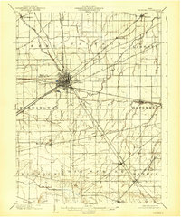
(29)- 1901 Map of Fostoria, 1958 Print
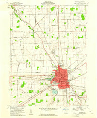
 1901 Fostoria1958 Print · USGSNorthwest Ohio at the turn of the century is captured here as a thriving rail hub where three counties meet. Genealogists and rail historians can trace the early networks of Fostoria and locate long-standing settlements like New Riegel, Alvada, and Bascom.
 - 1903 Map of Fostoria, 1939 Print
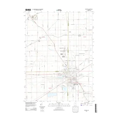
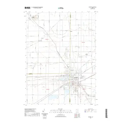
 1903 Fostoria1939 Print · USGSFostoria at the turn of the century was a burgeoning rail center where seven major lines crossed paths at a triple-county border. Genealogists can trace family footprints in small outlying settlements like New Riegel, Bascom, and West Independence or follow the path of the Hocking Valley RR.
 - 1956 Map of Toledo, 1968 Print
 1956 Toledo1968 Print · USGSNorthwest Ohio and the Lake Erie shoreline are shown in detail during the late fifties, showcasing a landscape of heavy industry, railroads, and island communities. Genealogists and historians can trace rail networks like the Chesapeake & Ohio RR or locate landmarks such as the Erie Proving Ground and Kelleys Island.4 unique versions available
 - 1960 Map of Bascom, 1961 Print
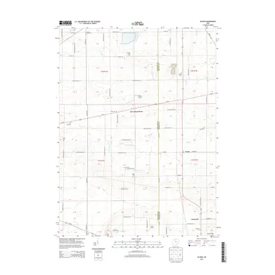
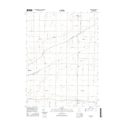
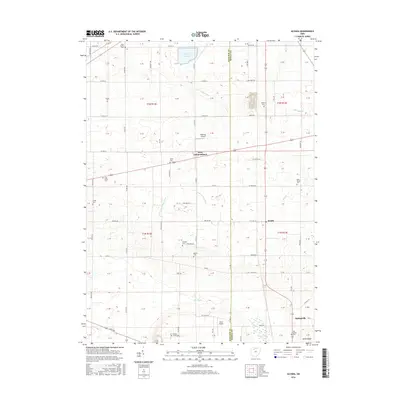
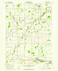 1960 Bascom1961 Print · USGSSeneca County's agricultural heartland was a busy corridor for the Baltimore and Ohio and Nickel Plate railroads at the start of the 1960s. Genealogists can locate family landmarks like Null Cem, Zion Ch, and the rural Iler (Ilers Sta).2 unique versions available
 - 1960 Map of Alvada, 1961 Print
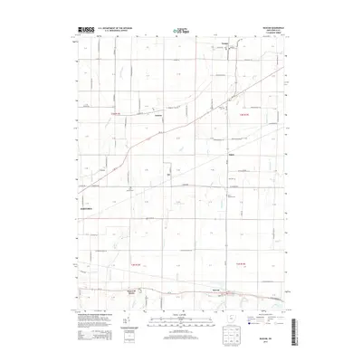
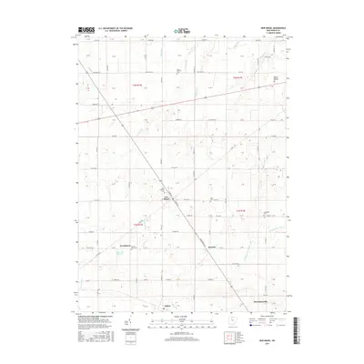
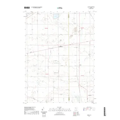
 1960 Alvada1961 Print · USGSHancock and Seneca counties appear here at the start of the 1960s, where the Old Indian Treaty Boundary still shapes the local landscape. Genealogists can locate family-named sites like Graham Cem and Ewing Cem or trace the route of the Chesapeake and Ohio railroad.2 unique versions available
 - 1960 Map of New Riegel, 1961 Print
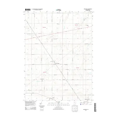
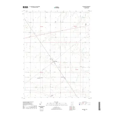
 1960 New Riegel1961 Print · USGSSeneca County's agricultural heartland is documented here just as the sixties began, showing the organized landscape of the historic Congress Lands. Genealogists and local historians can trace family locations near New Riegel, Frenchtown, and the Jerusalem Cem along the New York Central line.3 unique versions available
 - 1960 Map of Fostoria, 1961 Print
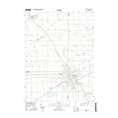
 1960 Fostoria1961 Print · USGSFostoria is captured at the height of its mid-century industrial prominence, serving as a vital crossroads for four major railroads. Genealogists and local historians can trace the city's growth alongside rural landmarks like Dysinger Cem, Field Sch, and Lake Lamberjack.2 unique versions available
 - 1961 Map of Toledo
 1961 Toledo1961 Print · USGSThe western basin of Lake Erie and the industrial heart of Northern Ohio are captured here during the post-war era. Researchers can trace historical rail lines like the New York Central or locate landmarks like the Erie Ordnance Depot and Pelee Island.
 - 1986 Map of Findlay
 1986 Findlay1986 Print · USGSNorthwest Ohio's industrial and agricultural heartland is documented here in the mid-1980s, centered on the major hubs of Findlay, Fostoria, and Tiffin. Researchers can trace the intersections of the BALTIMORE AND OHIO railroad and family sites near Greenlawn Cem or Sagar Ridge.2 unique versions available
 - 2010 Map of Fostoria, 2010 Print
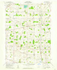
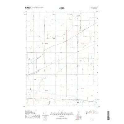
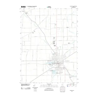 2010 Fostoria2010 Print · USGSCovers Loudon Township, including Fostoria, West Millgrove, and other nearby areas
 - 2010 Map of New Riegel, 2010 Print
 2010 New Riegel2010 Print · USGSCovers Loudon Township, including New Riegel, Berwick, and other nearby areas
 - 2010 Map of Bascom, 2010 Print
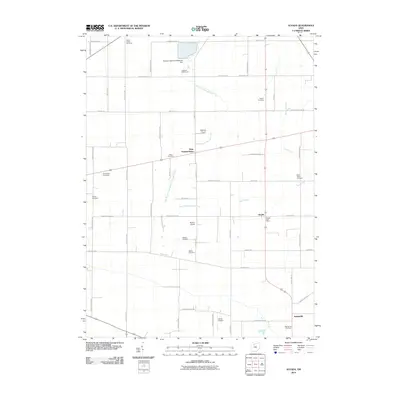
 2010 Bascom2010 Print · USGSCovers Loudon Township, including Fostoria, Liberty Township, and other nearby areas
 - 2010 Map of Alvada, 2010 Print
 2010 Alvada2010 Print · USGSCovers Loudon Township, including West Independence, Big Spring Township, and other nearby areas
 - 2013 Map of Bascom, 2013 Print
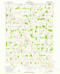
 2013 Bascom2013 Print · USGSCovers Loudon Township, including Fostoria, Liberty Township, and other nearby areas
 - 2013 Map of Fostoria, 2013 Print
 2013 Fostoria2013 Print · USGSCovers Loudon Township, including Fostoria, West Millgrove, and other nearby areas
 - 2013 Map of New Riegel, 2013 Print
 2013 New Riegel2013 Print · USGSCovers Loudon Township, including New Riegel, Berwick, and other nearby areas
 - 2013 Map of Alvada, 2013 Print
 2013 Alvada2013 Print · USGSCovers Loudon Township, including West Independence, Big Spring Township, and other nearby areas
 - 2016 Map of Fostoria, 2016 Print
 2016 Fostoria2016 Print · USGSCovers Loudon Township, including Fostoria, West Millgrove, and other nearby areas
 - 2016 Map of New Riegel, 2016 Print
 2016 New Riegel2016 Print · USGSCovers Loudon Township, including New Riegel, Berwick, and other nearby areas
 - 2016 Map of Bascom, 2016 Print
 2016 Bascom2016 Print · USGSCovers Loudon Township, including Fostoria, Liberty Township, and other nearby areas
 - 2016 Map of Alvada, 2016 Print
 2016 Alvada2016 Print · USGSCovers Loudon Township, including West Independence, Big Spring Township, and other nearby areas
 - 2019 Map of Fostoria, 2019 Print
 2019 Fostoria2019 Print · USGSCovers Loudon Township, including Fostoria, West Millgrove, and other nearby areas
 - 2019 Map of Alvada, 2019 Print
 2019 Alvada2019 Print · USGSCovers Loudon Township, including West Independence, Big Spring Township, and other nearby areas
 - 2019 Map of New Riegel, 2019 Print
 2019 New Riegel2019 Print · USGSCovers Loudon Township, including New Riegel, Berwick, and other nearby areas
 - 2019 Map of Bascom, 2019 Print
 2019 Bascom2019 Print · USGSCovers Loudon Township, including Fostoria, Liberty Township, and other nearby areas
Showing maps 1-25 of 29
Top cities near Loudon Township
- Findlay historical maps
- Tiffin historical maps
- Fremont historical maps
- Fostoria historical maps
- Crawford historical maps
- Carey historical maps
See more
Frequently asked questions
- What are the different types of historical maps available for Loudon Township?
- What is the oldest map of Loudon Township?
- Where can I purchase historical maps of Loudon Township for my home or office?
- Where can I download high-res historical maps of Loudon Township?
- Are there historical topographic maps available for Loudon Township?
- Is there historical aerial imagery available for Loudon Township?
- Where are historical maps of Loudon Township sourced from?