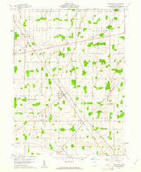
1960 Map of New Riegel
USGS Topo · Published 1961About this map
New Riegel sits at the center of this rural Seneca County landscape, serving as a hub for the surrounding townships of Loudon, Hopewell, Big Spring, and Seneca. The map captures a transition in agricultural land management, highlighted by the diagonal path of the Old Indian Treaty Boundary cutting across the western sections. This historic line, alongside a network of section lines and fence rows identified from 1959 aerial photography, illustrates the rigid survey patterns that defined Ohio's Congress Lands.
Find a feature on this map
20 named features on this map. Tap any name to fly to it.
Don’t see what you’re looking for? This feature index may not catch every label — zoom into the map to look around manually.
Map Details
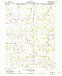
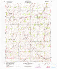
Editions of this 1960 New Riegel Map
Other maps of this area

1901 · Fostoria
USGS Topo · 1:62,500

1903 · Fostoria
USGS Topo · 1:62,500

1906 · Sycamore
USGS Topo · 1:62,500

1906 · Tiffin
USGS Topo · 1:62,500

1907 · Upper Sandusky
USGS Topo · 1:62,500

1950 · Marion
USGS Topo · 1:250,000

1956 · Toledo
USGS Topo · 1:250,000

1960 · Sycamore
USGS Topo · 1:24,000

1960 · Tiffin South
USGS Topo · 1:24,000
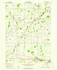
1960 · Bascom
USGS Topo · 1:24,000