Old Maps of Jackson Center, Ohio for Hiking & Exploration
Hike through history with 11 historic maps of Jackson Center. Explore old trails, ghost towns, and forgotten backroads — perfect for outdoor adventurers and local explorers.
- Rediscover forgotten places: Map out old mining camps, roads, and footpaths that no longer exist on modern maps.
- Layer with modern tools: Combine with LiDAR or satellite views to plan hikes through historical terrain.
- Made for exploration: Popular among hikers, overlanders, and local history lovers.
Use these maps to find adventure and explore the hidden past of Jackson Center.
Jackson Center, OH maps
(11)- 1913 Map of Sidney, 1934 Print
 1913 Sidney1934 Print · USGSShelby County at the height of the steam and electric rail era features a landscape defined by the Miami and Erie Canal and the historic Greenville Treaty Line. Genealogists and historians can trace dozens of rural schoolhouses, including Poplar Knob School and Walnut Grove School, alongside the early streetcar route of the Western Ohio RR.2 unique versions available
 - 1944 Map of Sidney
 1944 Sidney1944 Print · USGSShelby County thrived as a rail and river hub in the mid-1940s, centered on the growing industrial town of Sidney. Researchers can trace old rural school districts and family-named landmarks such as Walnut Grove Sch, Poplar Knob, and the Childrens Home.
 - 1953 Map of Muncie, 1966 Print
 1953 Muncie1966 Print · USGSIndiana and Ohio borderlands thrive in the early fifties, showing a landscape defined by manufacturing cities and an intensive railroad network. Genealogists can trace family roots across the Indiana-Ohio line through Muncie, Celina, and Portland via the Pennsylvania railroad.5 unique versions available
 - 1956 Map of Muncie
 1956 Muncie1956 Print · USGSEastern Indiana and western Ohio are shown at a peak of rail-driven industry in the mid-fifties. Genealogists and rail historians can trace the paths of the Pennsylvania RR through Muncie or locate landmarks like Lake Saint Marys (Grand Lake Reservoir) and Frances Slocum State Forest.
 - 1961 Map of Jackson Center, 1963 Print
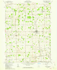 1961 Jackson Center1963 Print · USGSShelby and Auglaize counties in the early sixties reveal a landscape defined by pioneer-era boundaries and small rail towns. Genealogists can trace family names through McCord Cem and St Jacobs Ch, or follow the path of the Detroit Toledo and Ironton railroad.3 unique versions available
 - 1986 Map of Piqua
 1986 Piqua1986 Print · USGSThe western Ohio and eastern Indiana borderlands appear here in the mid-1980s, showcasing a landscape of river-valley industry and fertile plains. Researchers can trace historic rail lines like Conrail and Norfolk and Western through towns like Greenville and Winchester.3 unique versions available
 - 2010 Map of Jackson Center, 2010 Print
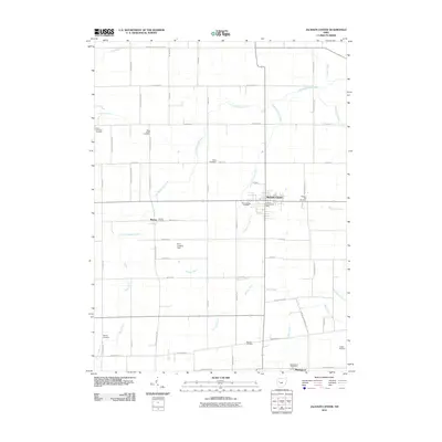 2010 Jackson Center2010 Print · USGSShelby County farmland and the village of Jackson Center are captured in detail during the early twenty-first century. Genealogists can trace family footprints across numerous burial sites like Elliott and Pleasant Hill, or locate former community centers like Montra.
 - 2013 Map of Jackson Center, 2013 Print
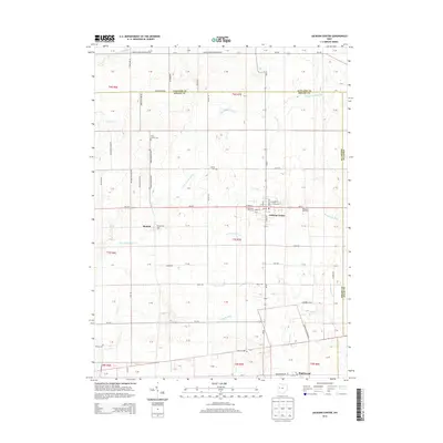 2013 Jackson Center2013 Print · USGSShelby County farmland and quiet villages are captured here in the early twenty-first century. Researchers can trace family roots at Saint Jacobs Cem and Pleasant Hill Cem, or explore the rural surroundings of Jackson Center, Maplewood, and Montra.
 - 2016 Map of Jackson Center, 2016 Print
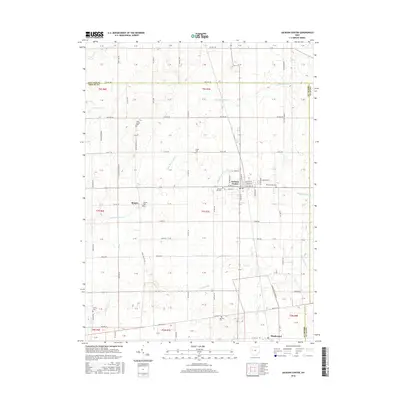 2016 Jackson Center2016 Print · USGSShelby County's agricultural heartland is captured here in the mid-2010s, centered on the village of Jackson Center. Genealogists and local historians can trace family roots through numerous pioneer burial grounds like Seventh Day Cem and Pleasant Hill Cem, or explore the rural hamlets of Montra and Maplewood.
 - 2019 Map of Jackson Center, 2019 Print
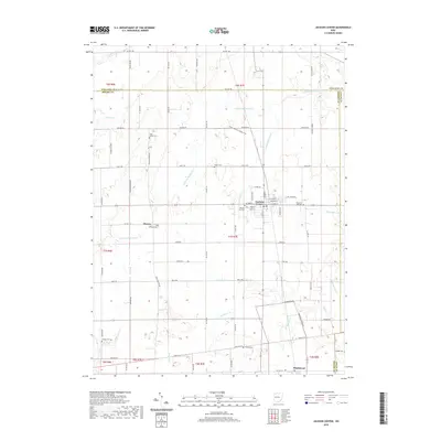 2019 Jackson Center2019 Print · USGSShelby and Auglaize Counties come together in this detailed 2019 survey of the agricultural heartland. Researchers can trace family history through local landmarks like Saint Jacobs Cem, the settlement of Montra, and the varied drainage works of Howell Ditch and Baughman Ditch.
 - 2023 Map of Jackson Center, 2023 Print
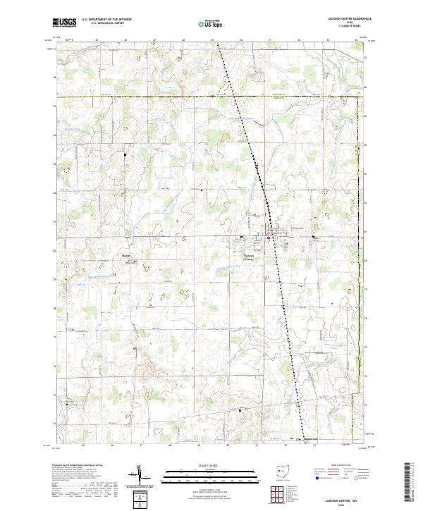 2023 Jackson Center2023 Print · USGSJackson Center and the surrounding farmsteads of Shelby County are captured in this recent survey of western Ohio. Genealogists can locate several family burial grounds including Saint Jacobs Cem, Howell Cem, and the Seventh Day Cem near Jackson Center.
End of results
Showing maps 1-11 of 11
Top cities near Jackson Center
- Sidney historical maps
- Bellefontaine historical maps
- Wapakoneta historical maps
- Fort Shawnee historical maps
- Cridersville historical maps
- Russells Point historical maps
See more
Frequently asked questions
- What are the different types of historical maps available for Jackson Center?
- What is the oldest map of Jackson Center?
- Where can I purchase historical maps of Jackson Center for my home or office?
- Where can I download high-res historical maps of Jackson Center?
- Are there historical topographic maps available for Jackson Center?
- Is there historical aerial imagery available for Jackson Center?
- Where are historical maps of Jackson Center sourced from?