2000s (21st Century) Maps of Canton, Ohio
Explore 15 historic maps of Canton from the 2000s (21st Century). These maps offer a rare glimpse into what life looked like during the 2000s — showing old roads, neighborhoods, homes, and landmarks that have changed or disappeared over time.
Whether you're researching your family's past, planning a metal detecting trip, or studying how Canton's landscape evolved across the 2000s, these high-resolution maps are a powerful tool for exploring the history of this region.
- Focus on a specific era: All maps on this page are from the 2000s, giving you a focused view of this time period.
- See what’s changed: Compare century-old streets, trails, and buildings to today's modern landscape using overlays and satellite layers.
- Research with precision: Use these maps for genealogy, historical research, land use analysis, or educational projects.
- View, download, or print: Maps are fully viewable online in high resolution, and can be downloaded or printed for your own records.
Start exploring Canton's history through authentic maps from the 2000s. This is your window into the past.
Canton, OH maps
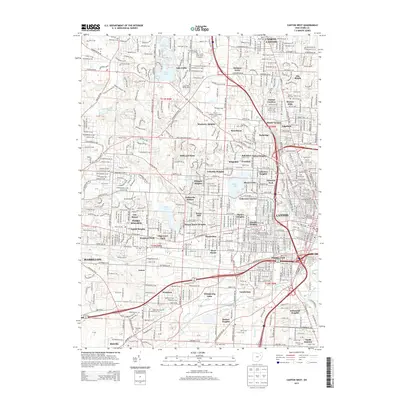
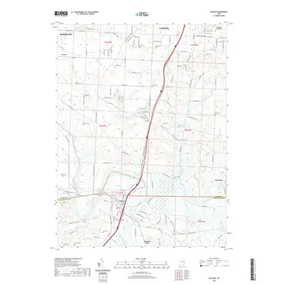
(15)- 2010 Map of Canton West, 2010 Print
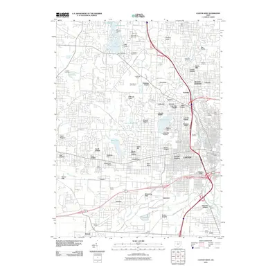 2010 Canton West2010 Print · USGSCovers Canton, including Massillon, North Canton, and other nearby areas
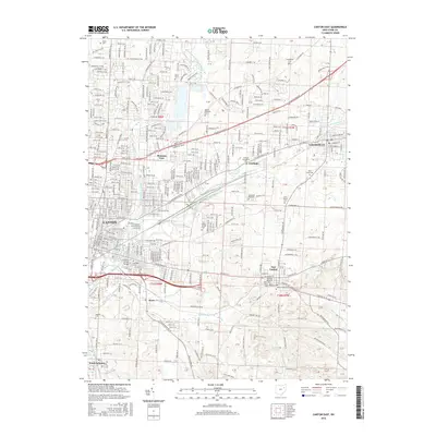
 - 2010 Map of Canton East, 2010 Print
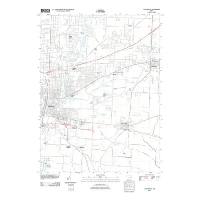 2010 Canton East2010 Print · USGSCovers Canton, including Plain, North Canton, and other nearby areas
 - 2010 Map of Bolivar, 2010 Print
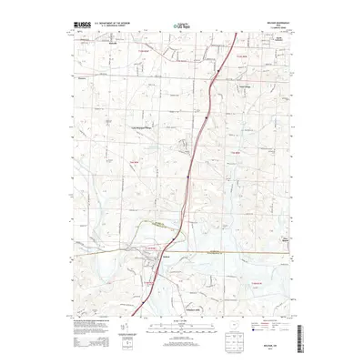
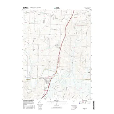
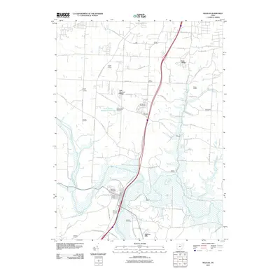 2010 Bolivar2010 Print · USGSCovers Canton, including Massillon, Navarre, and other nearby areas
 - 2013 Map of Canton East, 2013 Print
 2013 Canton East2013 Print · USGSCovers Canton, including Plain, North Canton, and other nearby areas
 - 2013 Map of Bolivar, 2013 Print
 2013 Bolivar2013 Print · USGSCovers Canton, including Massillon, Navarre, and other nearby areas
 - 2013 Map of Canton West, 2013 Print
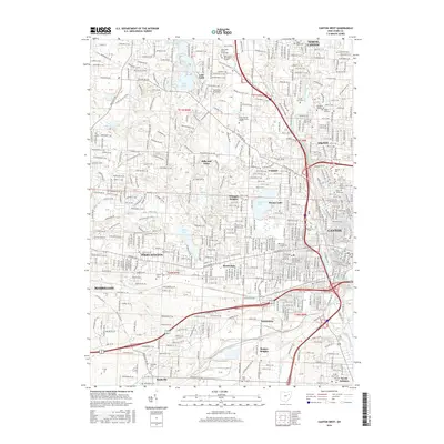
 2013 Canton West2013 Print · USGSCovers Canton, including Massillon, North Canton, and other nearby areas
 - 2016 Map of Canton East, 2016 Print
 2016 Canton East2016 Print · USGSCovers Canton, including Plain, North Canton, and other nearby areas
 - 2016 Map of Canton West, 2016 Print
 2016 Canton West2016 Print · USGSCovers Canton, including Massillon, North Canton, and other nearby areas
 - 2016 Map of Bolivar, 2016 Print
 2016 Bolivar2016 Print · USGSCovers Canton, including Massillon, Navarre, and other nearby areas
 - 2019 Map of Canton East, 2019 Print
 2019 Canton East2019 Print · USGSCovers Canton, including Plain, North Canton, and other nearby areas
 - 2019 Map of Bolivar, 2019 Print
 2019 Bolivar2019 Print · USGSCovers Canton, including Massillon, Navarre, and other nearby areas
 - 2019 Map of Canton West, 2019 Print
 2019 Canton West2019 Print · USGSCovers Canton, including Massillon, North Canton, and other nearby areas
 - 2023 Map of Canton West, 2023 Print
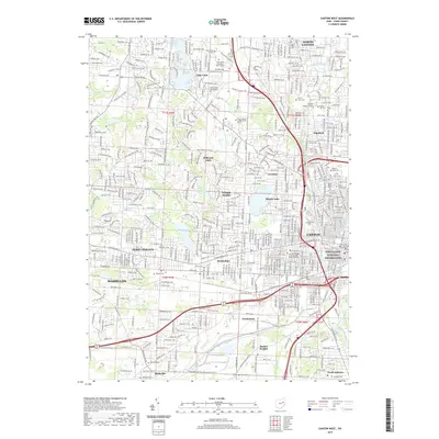
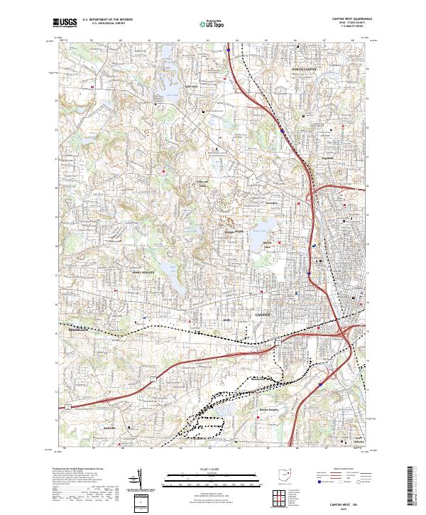 2023 Canton West2023 Print · USGSCanton and its western suburbs show a mature landscape of residential growth and institutional centers in the early 2020s. Genealogists and local researchers can pinpoint family locations near Westlawn Cem, Meyers Lake, and the Stark County Courthouse.
 - 2023 Map of Bolivar, 2023 Print
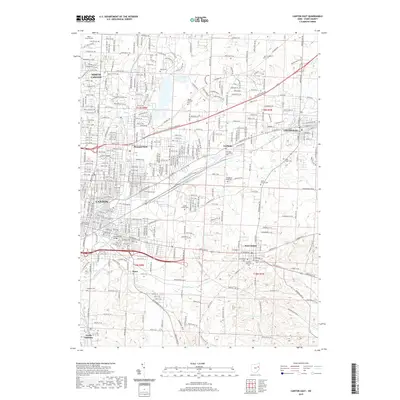
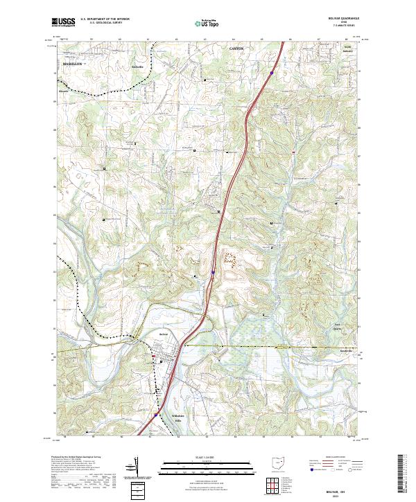 2023 Bolivar2023 Print · USGSThe Tuscarawas River valley and the Stark County border are meticulously detailed in this recent survey. Genealogists and historians can trace numerous family-named landmarks and resting places, including Fort Laurens Cem, Shepler Church Cem, and the village of Wilkshire Hills.
 - 2023 Map of Canton East, 2023 Print
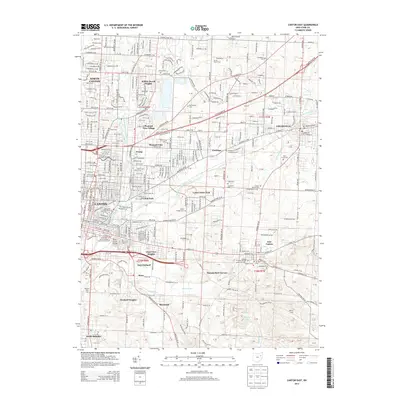
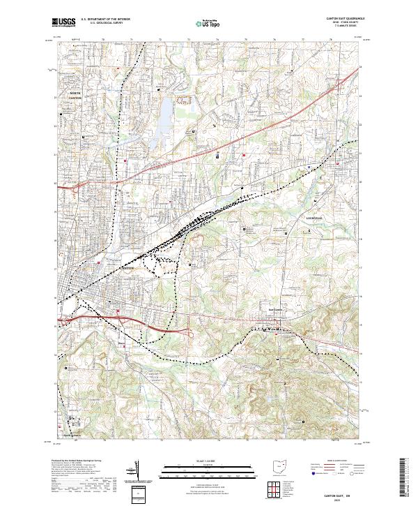 2023 Canton East2023 Print · USGSThe eastern edges of Canton and Louisville are captured here in a contemporary view of Stark County's evolving landscape. Genealogists can trace family heritage across a remarkable number of local burial sites, from Henry Warstler Cem to the Sancta Clara Monastery Cem.
End of results
Showing maps 1-15 of 15
Top cities near Canton
- Akron historical maps
- Plain historical maps
- Massillon historical maps
- Green historical maps
- Barberton historical maps
- Alliance historical maps
See more
Top neighborhoods of Canton
- Crystal Park historical maps
- Whittier Park historical maps
- Edgefield historical maps
- Harter Heights historical maps
- Lincoln Heights historical maps
- Mount Vernon historical maps
See more
Frequently asked questions
- What are the different types of historical maps available for Canton?
- What is the oldest map of Canton?
- Where can I purchase historical maps of Canton for my home or office?
- Where can I download high-res historical maps of Canton?
- Are there historical topographic maps available for Canton?
- Is there historical aerial imagery available for Canton?
- Where are historical maps of Canton sourced from?