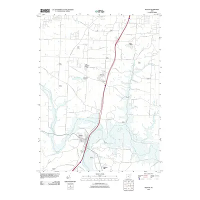
2010 Map of Bolivar
USGS Topo · Published 2010About this map
The Tuscarawas River and Sandy Creek define the low-lying southern portion of this region, where the Bolivar Dam manages the confluence near the historic village of Bolivar. The settlement pattern reflects a transition from traditional agricultural land to residential developments like Wilkshire Hills and Lake Sherman Village. Local history is deeply etched into the landscape through a dense network of family and community burial grounds, including Saint Stephens Cemetery and the Fort Laurens Cemetery, which stands near the site of the only American Revolutionary War fort in the territory.
Find a feature on this map
76 named features on this map. Tap any name to fly to it.
Don’t see what you’re looking for? This feature index may not catch every label — zoom into the map to look around manually.
Map Details
Editions of this 2010 Bolivar Map
This is the sole edition of this map. No revisions or reprints were ever made.
Other maps of this area

1901 · Massillon
USGS Topo · 1:62,500

1901 · Canton
USGS Topo · 1:62,500

1903 · Massillon
USGS Topo · 1:62,500

1903 · Canton
USGS Topo · 1:62,500

1912 · Dover
USGS Topo · 1:62,500

1914 · Navarre
USGS Topo · 1:62,500

1944 · Navarre
USGS Topo · 1:62,500

1944 · Dover
USGS Topo · 1:62,500

1951 · Canton
USGS Topo · 1:250,000

1951 · Bolivar
USGS Topo · 1:24,000