Old Maps of Downtown Canton, Canton for Academic Research
Study the evolution of Downtown Canton with 23 high-resolution historic maps. Whether you're teaching, researching, or modeling changes in land use, these maps provide essential visual documentation of urban, environmental, and geographic change.
- Analyze long-term change: Track patterns in development, transportation, and natural features.
- Ideal for environmental or urban studies: Support academic projects with primary historical map data.
- Use in the classroom or lab: Educators and researchers rely on these maps to bring historical context to life.
These maps are a powerful tool for teaching, research, and visualizing how Downtown Canton has changed over the decades.
Downtown Canton, Canton maps
(23)- 1901 Map of Canton, 1958 Print
 1901 Canton1958 Print · USGSStark County at the turn of the century is a landscape of growing industrial towns and busy rail corridors. Genealogists can trace family roots in New Berlin and Louisville or locate landmarks like Westlawn Cem and the Infirmary.
 - 1903 Map of Canton, 1939 Print
 1903 Canton1939 Print · USGSCanton was a flourishing rail and manufacturing center at the dawn of the century, serving as the nexus for multiple major lines. Genealogists can trace early homesteads and community centers near New Berlin, Osnaburg, and the Westlawn Cem.2 unique versions available
 - 1951 Map of Canton
 1951 Canton1951 Print · USGSThe industrial heartland of Ohio and Pennsylvania reached its mid-century peak during this era of heavy rail and river transit. Genealogists and historians can trace the development of steel towns like Aliquippa and Weirton alongside the Ohio River and major lines of the Pennsylvania RR.
 - 1953 Map of Canton
 1953 Canton1953 Print · USGSThe industrial heartland of Ohio and Pennsylvania is captured at its mid-century peak in this detailed regional survey. Genealogists and historians can trace the vast rail networks of the Pennsylvania RR and find local landmarks like Nimisila Reservoir and Tappan Reservoir.
 - 1957 Map of Canton, 1971 Print
 1957 Canton1971 Print · USGSThe industrial heartland of eastern Ohio and western Pennsylvania comes alive in this mid-century survey of the Ohio River Valley. Trace the heritage of rail and river commerce through Pittsburgh, the massive steel towns along the Ohio River, and major junctions on the Pennsylvania RR.3 unique versions available
 - 1958 Map of Canton East, 1960 Print
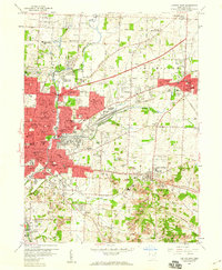 1958 Canton East1960 Print · USGSThe industrial and suburban expansion of Stark County is documented here just before the 1960s. Genealogists can trace family landmarks and neighborhood history at McKinley High Sch, St Louis Cem, and along the historic Lincoln Highway.
 - 1958 Map of Canton West, 1960 Print
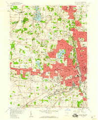 1958 Canton West1960 Print · USGSWestern Canton and its surrounding townships show a period of rapid suburban growth and industrial strength during the late fifties. Genealogists and local historians can trace family locations near Calvary Cemetery, Sippo Lake, and dozens of neighborhood schools like Lehman High Sch.
 - 1962 Map of Canton
 1962 Canton1962 Print · USGSThe industrial heartland of Eastern Ohio and Western Pennsylvania thrives in the early sixties as steel mills and rail lines dominate the river valleys. Genealogists and historians can trace local landmarks like McKinley National Memorial, Malone College, and industrial sites such as Republic Steel Corp.2 unique versions available
 - 1967 Map of Canton West, 1969 Print
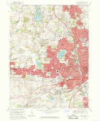 1967 Canton West1969 Print · USGSStark County in the late sixties shows the dense urban corridor connecting Canton and Massillon. Genealogists can trace family landmarks like Calvary Cemetery and Brunnerdale Seminary, or locate the Nat Pro Football Hall of Fame.3 unique versions available
 - 1967 Map of Canton East, 1970 Print
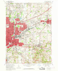 1967 Canton East1970 Print · USGSStark County's industrial and suburban landscape comes alive in the late sixties as Canton expands toward Louisville. Genealogists and historians can trace the foundations of Walsh College, locate the St Louis Cemetery, and follow the busy tracks of the Penn Central railroad.3 unique versions available
 - 1986 Map of Canton
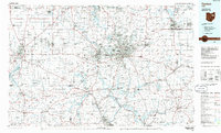 1986 Canton1986 Print · USGSNortheastern Ohio’s industrial corridor and rural heartland are captured here in the mid-1980s as the region's rail and highway networks reached their modern form. Researchers can trace the layout of Canton and Massillon, locate family sites near West Lawn Cemetery, or explore the grounds of Malone College and Walsh College.2 unique versions available
 - 1994 Map of Canton East, 2000 Print
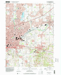 1994 Canton East2000 Print · USGSStark County's urban and industrial corridor comes into focus in the mid-nineties, showing the expansion between CANTON and LOUISVILLE. Researchers can trace family history through Warstler Cem or locate landmarks like Waco, Fairhope, and the Louisville Temple.
 - 1994 Map of Canton West, 2000 Print
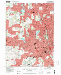 1994 Canton West2000 Print · USGSStark County’s urban core and surrounding neighborhoods are captured here in the mid-1990s as the suburbs of North Canton and Genoa expanded. Genealogists and local historians can locate family plots in Calvary Cemetery or trace landmarks like McKinley Memorial Park and Meyers Lake.
 - 2010 Map of Canton West, 2010 Print
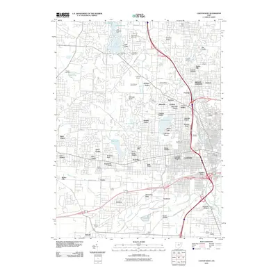 2010 Canton West2010 Print · USGSWestern Stark County at the start of the 2010s reveals a landscape of dense suburban growth and community landmarks. Researchers can trace the development of Meyers Lake, the campus of Kent State University, and numerous family burial sites like Calvary Cemetery.
 - 2010 Map of Canton East, 2010 Print
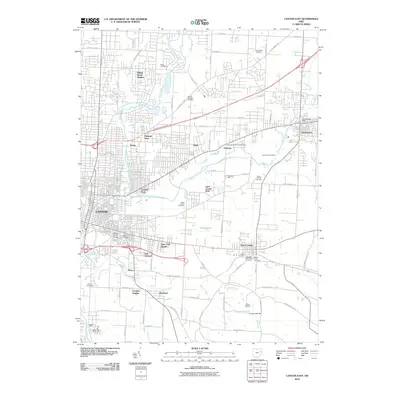 2010 Canton East2010 Print · USGSCanton and Louisville are shown during a period of modern expansion in the early twenty-first century. Genealogists can locate family sites at Henry Cemetery or Rowland Cemetery, while tracing local landmarks like Varian Orchards.
 - 2013 Map of Canton East, 2013 Print
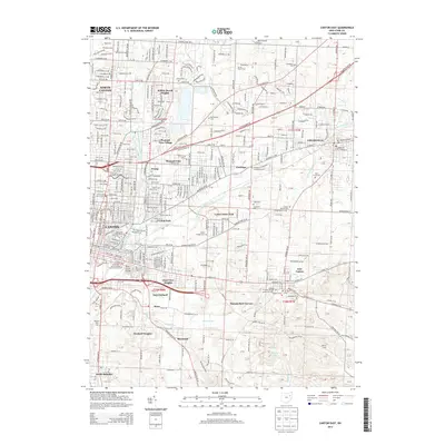 2013 Canton East2013 Print · USGSStark County’s industrial and residential landscape is documented here in the early twenty-first century as Canton expands eastward. Researchers can trace family sites and local landmarks from Walsh Univ and Hitz Airport to numerous historic burial grounds like Saint Louis Cem.
 - 2013 Map of Canton West, 2013 Print
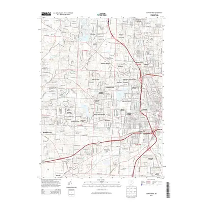 2013 Canton West2013 Print · USGSCanton and North Canton are shown during a period of significant suburban and academic expansion in the early twenty-first century. Researchers can trace the footprints of Malone Univ, identify local burial sites like Calvary Cem, and explore the developed shorelines of Meyers Lake and Lake Cable.
 - 2016 Map of Canton East, 2016 Print
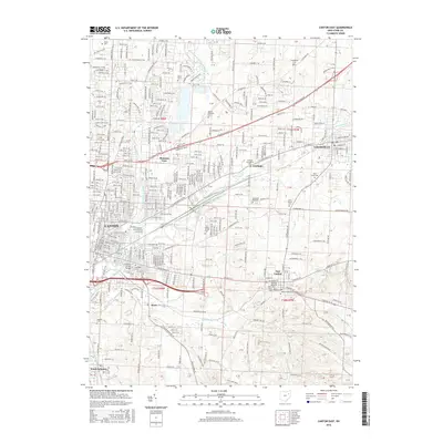 2016 Canton East2016 Print · USGSCanton and Louisville are captured here during a period of sustained urban and suburban density in Stark County. Local historians can trace established neighborhoods and numerous burial grounds including Saint Louis Cem, Hebrew Cem, and Evergreen Park Cem.
 - 2016 Map of Canton West, 2016 Print
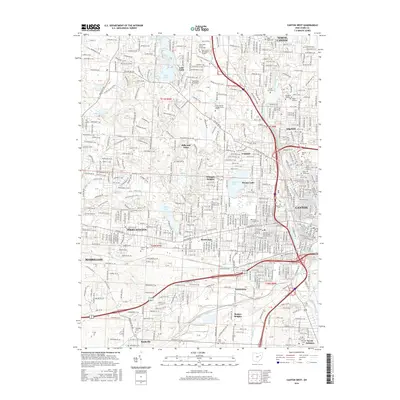 2016 Canton West2016 Print · USGSThe residential and industrial westward expansion of the Canton area is captured here in the twenty-tens. Genealogists and local researchers can trace numerous memorial sites like Westlawn Cemetery and Calvary Cemetery, alongside the yards at Gambrinus.
 - 2019 Map of Canton East, 2019 Print
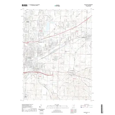 2019 Canton East2019 Print · USGSStark County's eastern urban corridor is documented here in the late 2010s, showing the modern footprint of its historic industrial centers. Genealogists and local historians can trace family locations near sites like Walsh University, the Stark County Courthouse, and numerous churchyards including Fairhope Evangelical Cem.
 - 2019 Map of Canton West, 2019 Print
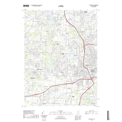 2019 Canton West2019 Print · USGSCanton and its surrounding Stark County townships show a mature landscape of civic centers, universities, and suburban lakes during the late 2010s. Researchers can locate the First Ladies National Historic Site, the Stark County Courthouse, and numerous cemeteries like Calvary Cem.
 - 2023 Map of Canton West, 2023 Print
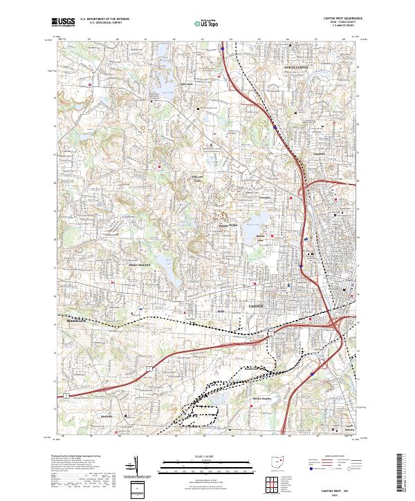 2023 Canton West2023 Print · USGSCanton and its western suburbs show a mature landscape of residential growth and institutional centers in the early 2020s. Genealogists and local researchers can pinpoint family locations near Westlawn Cem, Meyers Lake, and the Stark County Courthouse.
 - 2023 Map of Canton East, 2023 Print
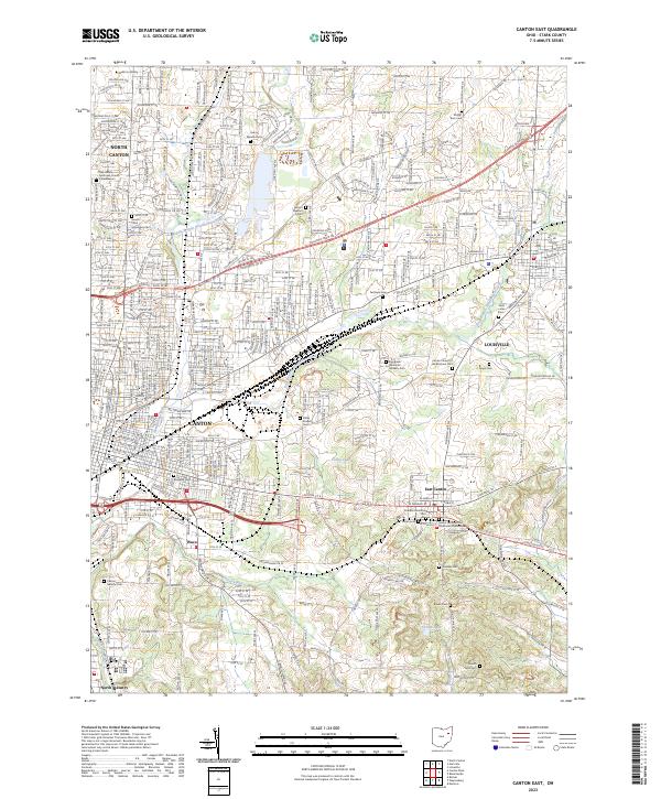 2023 Canton East2023 Print · USGSThe eastern edges of Canton and Louisville are captured here in a contemporary view of Stark County's evolving landscape. Genealogists can trace family heritage across a remarkable number of local burial sites, from Henry Warstler Cem to the Sancta Clara Monastery Cem.
End of results
Showing maps 1-23 of 23
Frequently asked questions
- What are the different types of historical maps available for Downtown Canton?
- What is the oldest map of Downtown Canton?
- Where can I purchase historical maps of Downtown Canton for my home or office?
- Where can I download high-res historical maps of Downtown Canton?
- Are there historical topographic maps available for Downtown Canton?
- Is there historical aerial imagery available for Downtown Canton?
- Where are historical maps of Downtown Canton sourced from?