2000s (21st Century) Maps of Norton, Ohio
Explore 20 historic maps of Norton from the 2000s (21st Century). These maps offer a rare glimpse into what life looked like during the 2000s — showing old roads, neighborhoods, homes, and landmarks that have changed or disappeared over time.
Whether you're researching your family's past, planning a metal detecting trip, or studying how Norton's landscape evolved across the 2000s, these high-resolution maps are a powerful tool for exploring the history of this region.
- Focus on a specific era: All maps on this page are from the 2000s, giving you a focused view of this time period.
- See what’s changed: Compare century-old streets, trails, and buildings to today's modern landscape using overlays and satellite layers.
- Research with precision: Use these maps for genealogy, historical research, land use analysis, or educational projects.
- View, download, or print: Maps are fully viewable online in high resolution, and can be downloaded or printed for your own records.
Start exploring Norton's history through authentic maps from the 2000s. This is your window into the past.
Norton, OH maps
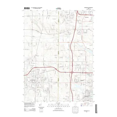
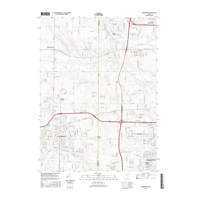
(20)- 2010 Map of Wadsworth, 2010 Print
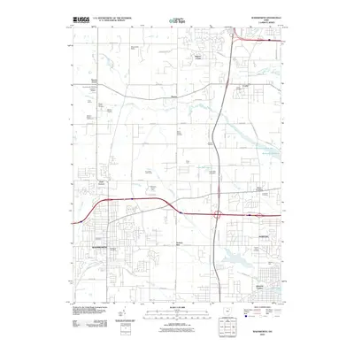 2010 Wadsworth2010 Print · USGSCovers Norton, including Barberton, Wadsworth, and other nearby areas
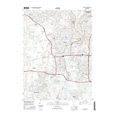
 - 2010 Map of Akron West, 2010 Print
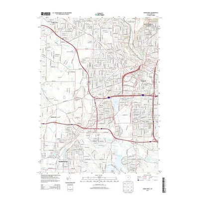
 2010 Akron West2010 Print · USGSCovers Norton, including Akron, Cuyahoga Falls, and other nearby areas
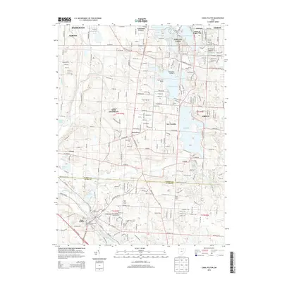
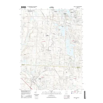
 - 2010 Map of Canal Fulton, 2010 Print
 2010 Canal Fulton2010 Print · USGSCovers Norton, including Akron, Green, and other nearby areas
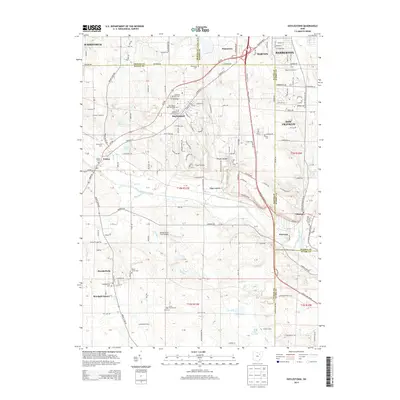
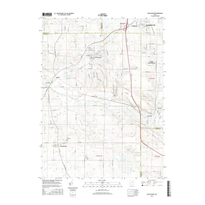
 - 2010 Map of Doylestown, 2010 Print
 2010 Doylestown2010 Print · USGSCovers Norton, including Barberton, Wadsworth, and other nearby areas
 - 2013 Map of Akron West, 2013 Print
 2013 Akron West2013 Print · USGSCovers Norton, including Akron, Cuyahoga Falls, and other nearby areas
 - 2013 Map of Wadsworth, 2013 Print
 2013 Wadsworth2013 Print · USGSCovers Norton, including Barberton, Wadsworth, and other nearby areas
 - 2013 Map of Canal Fulton, 2013 Print
 2013 Canal Fulton2013 Print · USGSCovers Norton, including Akron, Green, and other nearby areas
 - 2013 Map of Doylestown, 2013 Print
 2013 Doylestown2013 Print · USGSCovers Norton, including Barberton, Wadsworth, and other nearby areas
 - 2016 Map of Wadsworth, 2016 Print
 2016 Wadsworth2016 Print · USGSCovers Norton, including Barberton, Wadsworth, and other nearby areas
 - 2016 Map of Akron West, 2016 Print
 2016 Akron West2016 Print · USGSCovers Norton, including Akron, Cuyahoga Falls, and other nearby areas
 - 2016 Map of Canal Fulton, 2016 Print
 2016 Canal Fulton2016 Print · USGSCovers Norton, including Akron, Green, and other nearby areas
 - 2016 Map of Doylestown, 2016 Print
 2016 Doylestown2016 Print · USGSCovers Norton, including Barberton, Wadsworth, and other nearby areas
 - 2019 Map of Canal Fulton, 2019 Print
 2019 Canal Fulton2019 Print · USGSCovers Norton, including Akron, Green, and other nearby areas
 - 2019 Map of Doylestown, 2019 Print
 2019 Doylestown2019 Print · USGSCovers Norton, including Barberton, Wadsworth, and other nearby areas
 - 2019 Map of Akron West, 2019 Print
 2019 Akron West2019 Print · USGSCovers Norton, including Akron, Cuyahoga Falls, and other nearby areas
 - 2019 Map of Wadsworth, 2019 Print
 2019 Wadsworth2019 Print · USGSCovers Norton, including Barberton, Wadsworth, and other nearby areas
 - 2023 Map of Canal Fulton, 2023 Print
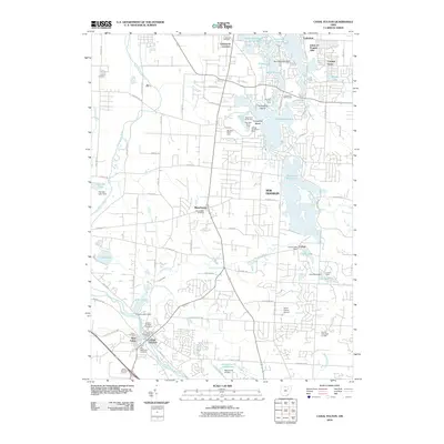
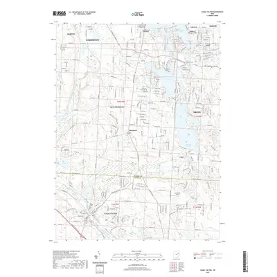
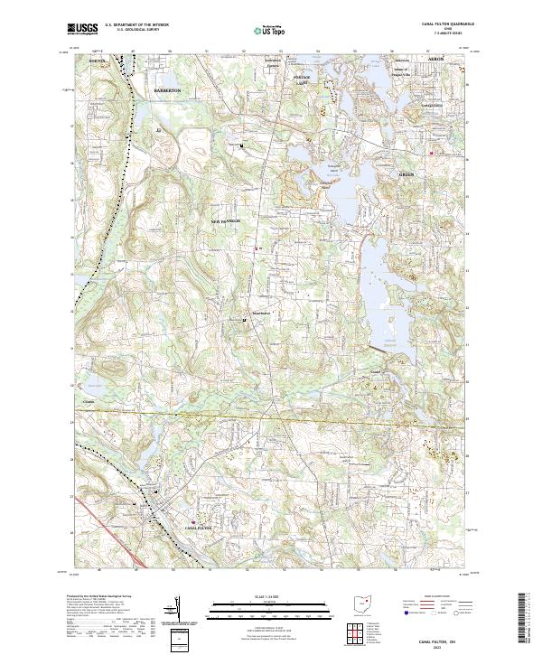 2023 Canal Fulton2023 Print · USGSCanal Fulton and the Tuscarawas River valley are captured in this modern survey of the Summit and Stark county line. Researchers can trace historic cemeteries and waterways like Saints Philip and James Church Cem, Nimisila Reservoir, and the Canal Feeder.
 - 2023 Map of Doylestown, 2023 Print
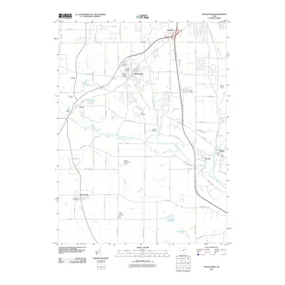
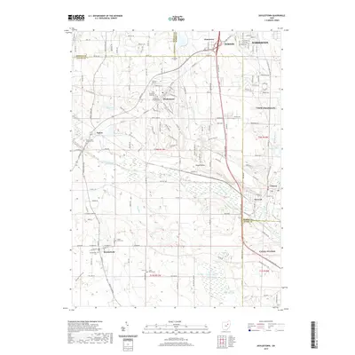
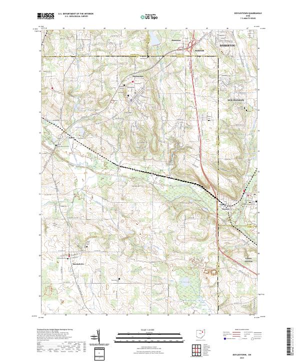 2023 Doylestown2023 Print · USGSDoylestown and Marshallville appear in this contemporary study of the Wayne and Summit county borderlands. Genealogists and historians can trace numerous burial sites like Saint Peters and Pauls Cem and landmarks such as Rogues Hollow and Fox Lake.
 - 2023 Map of Wadsworth, 2023 Print
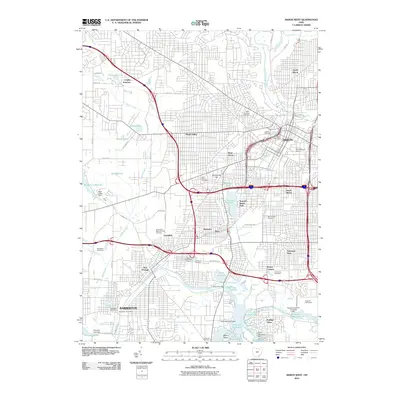
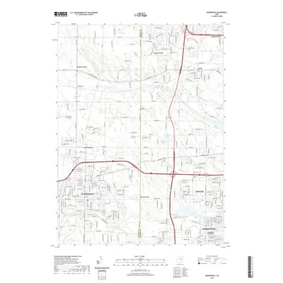
 2023 Wadsworth2023 Print · USGSThe borderlands of Medina and Summit counties come alive in this survey, showing the growth of Wadsworth and Norton. Genealogists can trace family sites at Western Star Cem or explore the drainage of Pigeon Creek.
 - 2023 Map of Akron West, 2023 Print
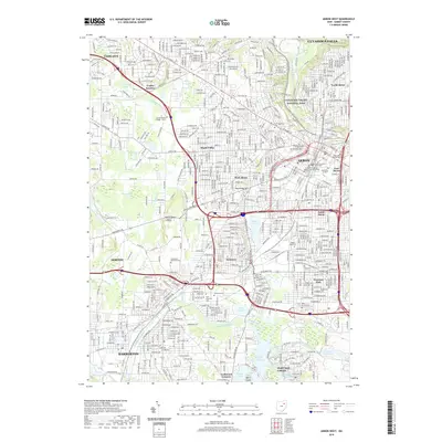
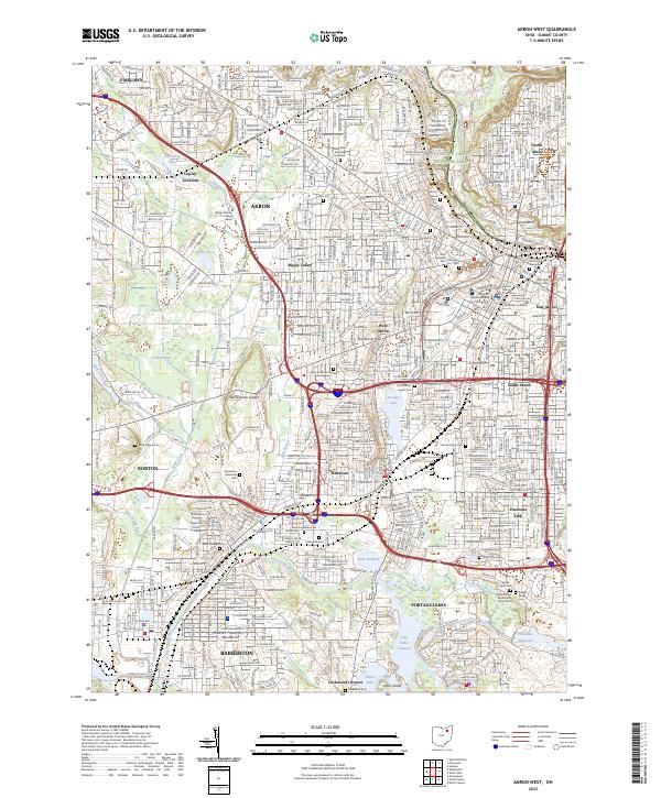 2023 Akron West2023 Print · USGSThe industrial landscape of Akron and its suburbs comes alive in this survey, showing the city's growth from Cuyahoga Valley National Park down to the Portage Lakes. Researchers can locate historic burial grounds like Black Plague Cemetery and family landmarks near Lake Anna.
End of results
Showing maps 1-20 of 20
Top cities near Norton
- Akron historical maps
- Canton historical maps
- Cuyahoga Falls historical maps
- Brunswick historical maps
- Stow historical maps
- Massillon historical maps
See more
Top neighborhoods of Norton
Frequently asked questions
- What are the different types of historical maps available for Norton?
- What is the oldest map of Norton?
- Where can I purchase historical maps of Norton for my home or office?
- Where can I download high-res historical maps of Norton?
- Are there historical topographic maps available for Norton?
- Is there historical aerial imagery available for Norton?
- Where are historical maps of Norton sourced from?