2000s (21st Century) Maps of Peninsula, Ohio
Explore 10 historic maps of Peninsula from the 2000s (21st Century). These maps offer a rare glimpse into what life looked like during the 2000s — showing old roads, neighborhoods, homes, and landmarks that have changed or disappeared over time.
Whether you're researching your family's past, planning a metal detecting trip, or studying how Peninsula's landscape evolved across the 2000s, these high-resolution maps are a powerful tool for exploring the history of this region.
- Focus on a specific era: All maps on this page are from the 2000s, giving you a focused view of this time period.
- See what’s changed: Compare century-old streets, trails, and buildings to today's modern landscape using overlays and satellite layers.
- Research with precision: Use these maps for genealogy, historical research, land use analysis, or educational projects.
- View, download, or print: Maps are fully viewable online in high resolution, and can be downloaded or printed for your own records.
Start exploring Peninsula's history through authentic maps from the 2000s. This is your window into the past.
Peninsula, OH maps
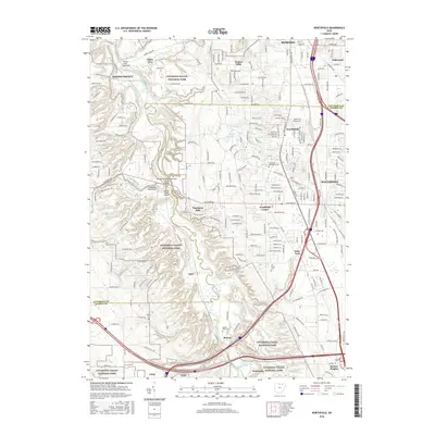
(10)- 2010 Map of Peninsula, 2010 Print
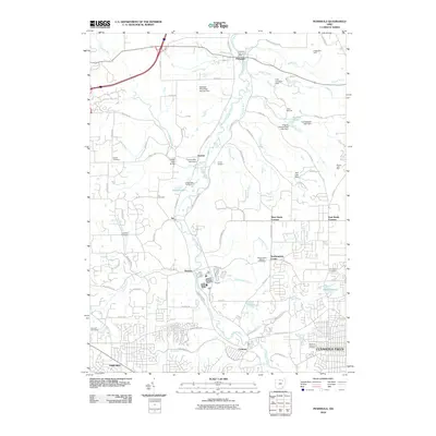 2010 Peninsula2010 Print · USGSCovers Peninsula, including Akron, Cuyahoga Falls, and other nearby areas
 - 2010 Map of Northfield, 2010 Print
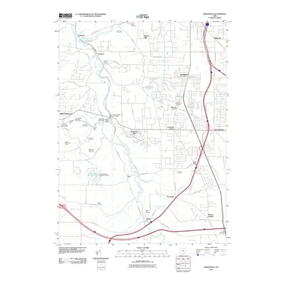 2010 Northfield2010 Print · USGSCovers Peninsula, including Brecksville, Bedford, and other nearby areas
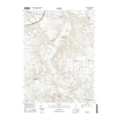
 - 2013 Map of Peninsula, 2013 Print
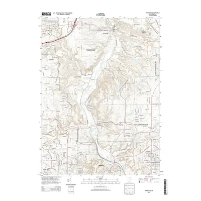 2013 Peninsula2013 Print · USGSCovers Peninsula, including Akron, Cuyahoga Falls, and other nearby areas
 - 2013 Map of Northfield, 2013 Print
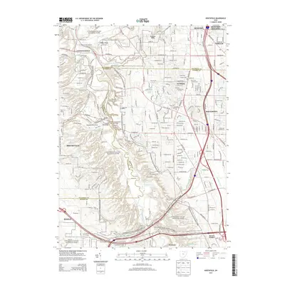 2013 Northfield2013 Print · USGSCovers Peninsula, including Brecksville, Bedford, and other nearby areas
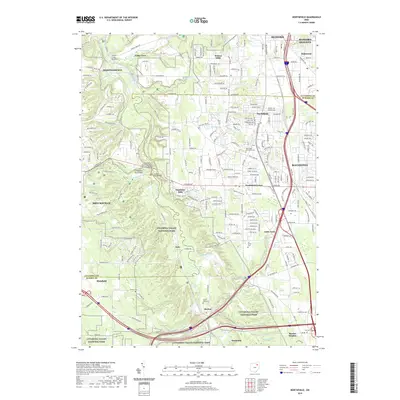
 - 2016 Map of Northfield, 2016 Print
 2016 Northfield2016 Print · USGSCovers Peninsula, including Brecksville, Bedford, and other nearby areas
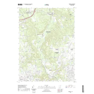
 - 2016 Map of Peninsula, 2016 Print
 2016 Peninsula2016 Print · USGSCovers Peninsula, including Akron, Cuyahoga Falls, and other nearby areas
 - 2019 Map of Northfield, 2019 Print
 2019 Northfield2019 Print · USGSCovers Peninsula, including Brecksville, Bedford, and other nearby areas
 - 2019 Map of Peninsula, 2019 Print
 2019 Peninsula2019 Print · USGSCovers Peninsula, including Akron, Cuyahoga Falls, and other nearby areas
 - 2023 Map of Northfield, 2023 Print
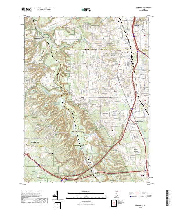 2023 Northfield2023 Print · USGSThe Cuyahoga Valley in the early 2020s shows a landscape of deep ravines and suburban growth preserved alongside a major national park. Researchers can trace historic local burials at All Saints Cem or locate the old company town of Jaite and the falls at Brandywine Falls.
 - 2023 Map of Peninsula, 2023 Print
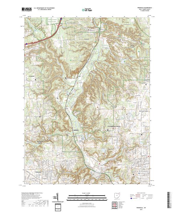 2023 Peninsula2023 Print · USGSThe Cuyahoga Valley at the start of the 2020s remains a mix of protected parkland and expanding suburbs. Trace local family history through numerous burial sites like Cedar Grove Cem or Chamberlain Cem, and explore the terrain around Boston Ledges.
End of results
Showing maps 1-10 of 10
Top cities near Peninsula
- Cleveland historical maps
- Akron historical maps
- Parma historical maps
- Cuyahoga Falls historical maps
- Stow historical maps
- North Royalton historical maps
See more
Top neighborhoods of Peninsula
Frequently asked questions
- What are the different types of historical maps available for Peninsula?
- What is the oldest map of Peninsula?
- Where can I purchase historical maps of Peninsula for my home or office?
- Where can I download high-res historical maps of Peninsula?
- Are there historical topographic maps available for Peninsula?
- Is there historical aerial imagery available for Peninsula?
- Where are historical maps of Peninsula sourced from?