2000s (21st Century) Maps of Swanton, Ohio
Explore 10 historic maps of Swanton from the 2000s (21st Century). These maps offer a rare glimpse into what life looked like during the 2000s — showing old roads, neighborhoods, homes, and landmarks that have changed or disappeared over time.
Whether you're researching your family's past, planning a metal detecting trip, or studying how Swanton's landscape evolved across the 2000s, these high-resolution maps are a powerful tool for exploring the history of this region.
- Focus on a specific era: All maps on this page are from the 2000s, giving you a focused view of this time period.
- See what’s changed: Compare century-old streets, trails, and buildings to today's modern landscape using overlays and satellite layers.
- Research with precision: Use these maps for genealogy, historical research, land use analysis, or educational projects.
- View, download, or print: Maps are fully viewable online in high resolution, and can be downloaded or printed for your own records.
Start exploring Swanton's history through authentic maps from the 2000s. This is your window into the past.
Swanton, OH maps
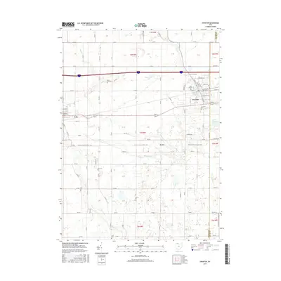
(10)- 2010 Map of Swanton, 2010 Print
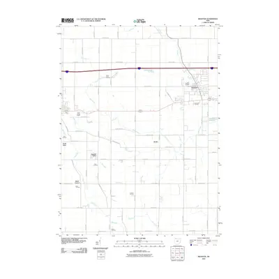 2010 Swanton2010 Print · USGSCovers Swanton, including Delta, South Delta, and other nearby areas
 - 2010 Map of Whitehouse, 2010 Print
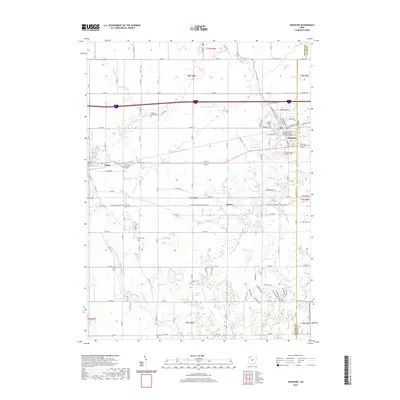
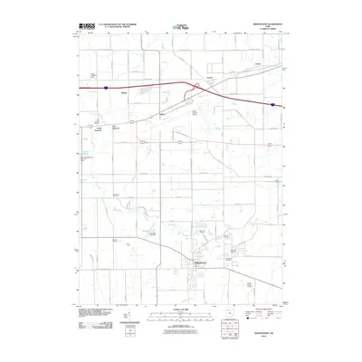 2010 Whitehouse2010 Print · USGSCovers Swanton, including Waterville, Whitehouse, and other nearby areas
 - 2013 Map of Whitehouse, 2013 Print
 2013 Whitehouse2013 Print · USGSCovers Swanton, including Waterville, Whitehouse, and other nearby areas
 - 2013 Map of Swanton, 2013 Print
 2013 Swanton2013 Print · USGSCovers Swanton, including Delta, South Delta, and other nearby areas
 - 2016 Map of Whitehouse, 2016 Print
 2016 Whitehouse2016 Print · USGSCovers Swanton, including Waterville, Whitehouse, and other nearby areas
 - 2016 Map of Swanton, 2016 Print
 2016 Swanton2016 Print · USGSCovers Swanton, including Delta, South Delta, and other nearby areas
 - 2019 Map of Whitehouse, 2019 Print
 2019 Whitehouse2019 Print · USGSCovers Swanton, including Waterville, Whitehouse, and other nearby areas
 - 2019 Map of Swanton, 2019 Print
 2019 Swanton2019 Print · USGSCovers Swanton, including Delta, South Delta, and other nearby areas
 - 2023 Map of Whitehouse, 2023 Print
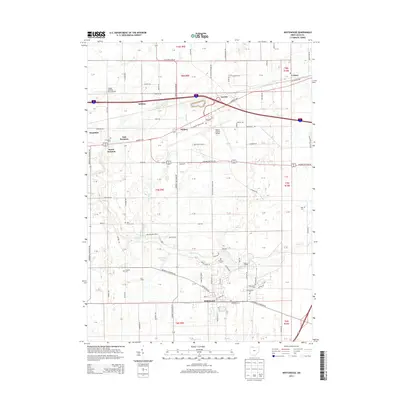
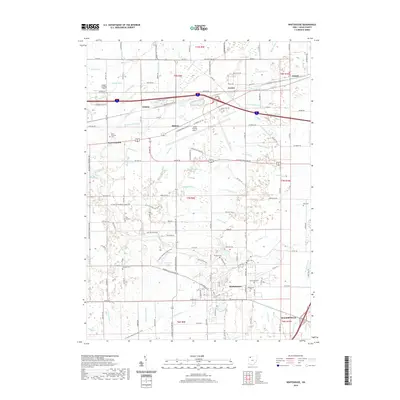
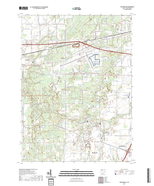 2023 Whitehouse2023 Print · USGSLucas County's agricultural and transit corridors are well-defined in this contemporary view of the communities near the airport. Researchers can trace historic family lineages at the Bird Family Cem or follow the route of the North Country National Scenic Trl past Whitehouse.
 - 2023 Map of Swanton, 2023 Print
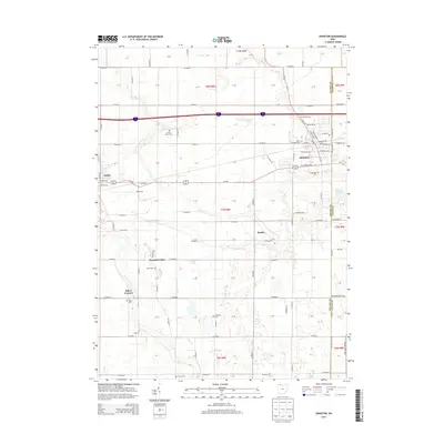
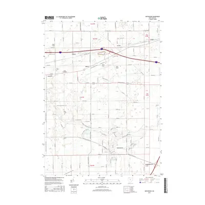
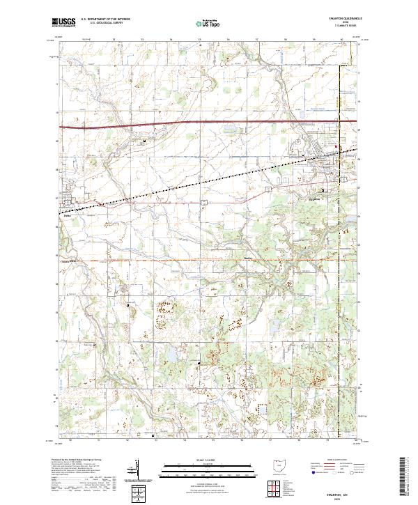 2023 Swanton2023 Print · USGSSwanton and the surrounding Fulton County farmlands are captured here in the early twenty-first century. Researchers can locate numerous family burial sites including Keen Cem and Raker Cem, or trace the North Country National Scenic Trl past Brailey.
End of results
Showing maps 1-10 of 10
Top cities near Swanton
- Toledo historical maps
- Bowling Green historical maps
- Perrysburg historical maps
- Sylvania historical maps
- Maumee historical maps
- Napoleon historical maps
See more
Frequently asked questions
- What are the different types of historical maps available for Swanton?
- What is the oldest map of Swanton?
- Where can I purchase historical maps of Swanton for my home or office?
- Where can I download high-res historical maps of Swanton?
- Are there historical topographic maps available for Swanton?
- Is there historical aerial imagery available for Swanton?
- Where are historical maps of Swanton sourced from?