Old Maps of Swanton, Ohio for Academic Research
Study the evolution of Swanton with 20 high-resolution historic maps. Whether you're teaching, researching, or modeling changes in land use, these maps provide essential visual documentation of urban, environmental, and geographic change.
- Analyze long-term change: Track patterns in development, transportation, and natural features.
- Ideal for environmental or urban studies: Support academic projects with primary historical map data.
- Use in the classroom or lab: Educators and researchers rely on these maps to bring historical context to life.
These maps are a powerful tool for teaching, research, and visualizing how Swanton has changed over the decades.
Swanton, OH maps
(20)- 1911 Map of Swanton, 1956 Print
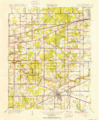
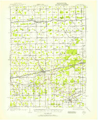 1911 Swanton1956 Print · USGSNorthwest Ohio and the Michigan border are captured here just before the era of major highway expansion. Genealogists can trace early twentieth-century property locations near Metamora, Raab Corners, and numerous rural schoolhouses like Frogpond School.
 - 1914 Map of Swanton, 1937 Print
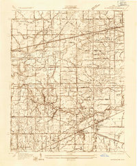
 1914 Swanton1937 Print · USGSThe Ohio-Michigan borderlands come alive in this era of peak rail transit and rural schoolhouse density. Genealogists and historians can trace family roots through numerous local landmarks like Metamora, Richfield Center, and uniquely named sites such as Huckleberry School or Frogpond School.
 - 1935 Map of Whitehouse
 1935 Whitehouse1935 Print · USGSWestern Lucas County was a landscape of intricate drainage ditches and rail corridors in the mid-1930s. Researchers can trace the path of the Toledo and Indiana (Electric) line or locate family sites at Weckerly Cemetery and Roberts Chapel.
 - 1940 Map of Whitehouse
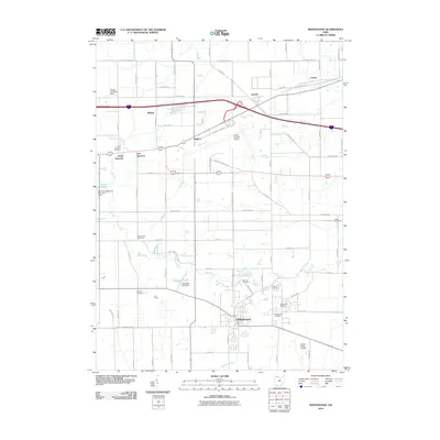
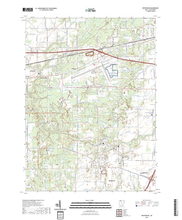
 1940 Whitehouse1940 Print · USGSLucas County and the village of Whitehouse are shown here in the mid-1930s as a vital railroad crossroads. Researchers can trace the layout of early schools and cemeteries like Bordner Sch and the Whitehouse Cem, or locate the historic Airway Beacon.2 unique versions available
 - 1951 Map of Whitehouse, 1952 Print
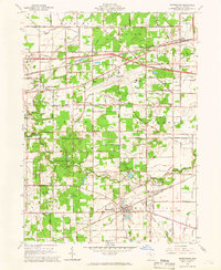
 1951 Whitehouse1952 Print · USGSLucas County during the early fifties reveals a landscape of organized agriculture and rail-side hamlets. Genealogists and local historians can trace family land near Whitehouse, locate the Whitehouse Cemetery, and see the early layout of Monclova and Crissey.
 - 1956 Map of Toledo, 1968 Print
 1956 Toledo1968 Print · USGSNorthwest Ohio and the Lake Erie shoreline are shown in detail during the late fifties, showcasing a landscape of heavy industry, railroads, and island communities. Genealogists and historians can trace rail networks like the Chesapeake & Ohio RR or locate landmarks such as the Erie Proving Ground and Kelleys Island.4 unique versions available
 - 1960 Map of Swanton, 1962 Print
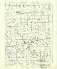
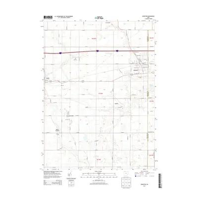
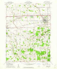 1960 Swanton1962 Print · USGSSwanton and Delta appear at the height of the mid-century era, situated along a busy intersection of historic rail lines and the modern turnpike. Researchers can trace rural lineages through landmarks like Centerville Cem, Baker Ch, and the small settlement of Ai.2 unique versions available
 - 1961 Map of Toledo
 1961 Toledo1961 Print · USGSThe western basin of Lake Erie and the industrial heart of Northern Ohio are captured here during the post-war era. Researchers can trace historical rail lines like the New York Central or locate landmarks like the Erie Ordnance Depot and Pelee Island.
 - 1964 Map of Whitehouse, 1966 Print
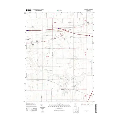
 1964 Whitehouse1966 Print · USGSLucas County in the mid-sixties shows a landscape of traditional settlements like Whitehouse and Monclova increasingly defined by modern infrastructure. Researchers can trace the layout of Toledo Express Airport and find local landmarks like Love Lands Ch and the Roth Cem.2 unique versions available
 - 1986 Map of Toledo
 1986 Toledo1986 Print · USGSGreater Toledo and the Lake Erie shoreline are captured here in the mid-eighties, showcasing a massive network of industrial waterways and rail lines. You can trace the path of the Maumee River past Rossford or explore the conservation lands at Ottawa National Wildlife Refuge.2 unique versions available
 - 2010 Map of Swanton, 2010 Print
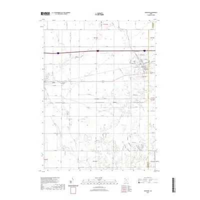
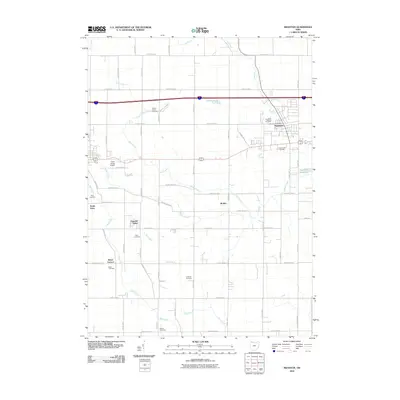 2010 Swanton2010 Print · USGSCovers Swanton, including Delta, South Delta, and other nearby areas
 - 2010 Map of Whitehouse, 2010 Print
 2010 Whitehouse2010 Print · USGSCovers Swanton, including Waterville, Whitehouse, and other nearby areas
 - 2013 Map of Whitehouse, 2013 Print
 2013 Whitehouse2013 Print · USGSCovers Swanton, including Waterville, Whitehouse, and other nearby areas
 - 2013 Map of Swanton, 2013 Print
 2013 Swanton2013 Print · USGSCovers Swanton, including Delta, South Delta, and other nearby areas
 - 2016 Map of Whitehouse, 2016 Print
 2016 Whitehouse2016 Print · USGSCovers Swanton, including Waterville, Whitehouse, and other nearby areas
 - 2016 Map of Swanton, 2016 Print
 2016 Swanton2016 Print · USGSCovers Swanton, including Delta, South Delta, and other nearby areas
 - 2019 Map of Whitehouse, 2019 Print
 2019 Whitehouse2019 Print · USGSCovers Swanton, including Waterville, Whitehouse, and other nearby areas
 - 2019 Map of Swanton, 2019 Print
 2019 Swanton2019 Print · USGSCovers Swanton, including Delta, South Delta, and other nearby areas
 - 2023 Map of Whitehouse, 2023 Print
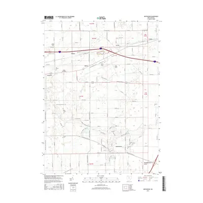
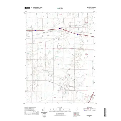
 2023 Whitehouse2023 Print · USGSLucas County's agricultural and transit corridors are well-defined in this contemporary view of the communities near the airport. Researchers can trace historic family lineages at the Bird Family Cem or follow the route of the North Country National Scenic Trl past Whitehouse.
 - 2023 Map of Swanton, 2023 Print
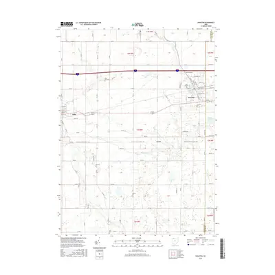
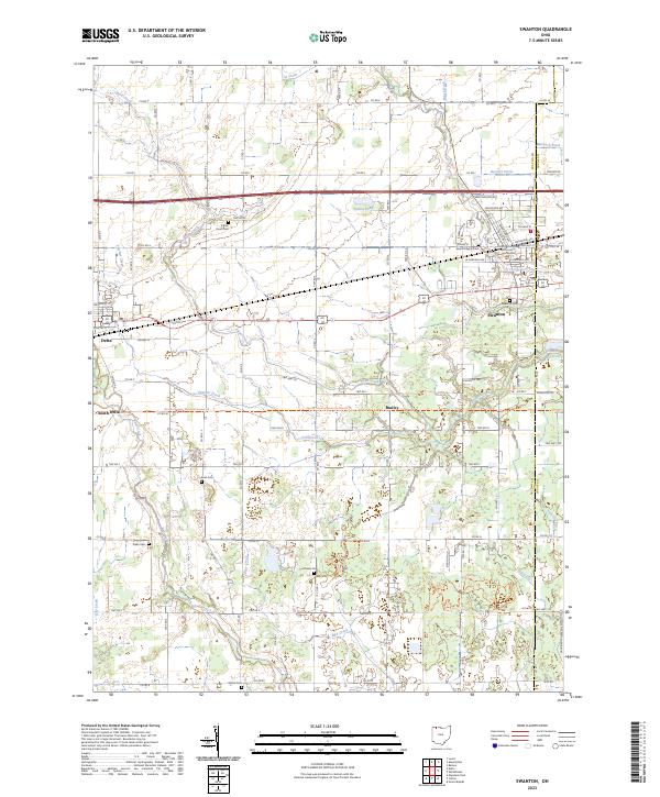 2023 Swanton2023 Print · USGSSwanton and the surrounding Fulton County farmlands are captured here in the early twenty-first century. Researchers can locate numerous family burial sites including Keen Cem and Raker Cem, or trace the North Country National Scenic Trl past Brailey.
End of results
Showing maps 1-20 of 20
Top cities near Swanton
- Toledo historical maps
- Bowling Green historical maps
- Perrysburg historical maps
- Sylvania historical maps
- Maumee historical maps
- Napoleon historical maps
See more
Frequently asked questions
- What are the different types of historical maps available for Swanton?
- What is the oldest map of Swanton?
- Where can I purchase historical maps of Swanton for my home or office?
- Where can I download high-res historical maps of Swanton?
- Are there historical topographic maps available for Swanton?
- Is there historical aerial imagery available for Swanton?
- Where are historical maps of Swanton sourced from?