Old Maps of Fowler Township, Ohio for Metal Detecting
Plan your next treasure hunt with 19 historic maps of Fowler Township. Find old homesites, ghost towns, trails, and gathering spots that may be lost to time — perfect for identifying promising metal detecting locations.
- Locate forgotten sites: Uncover places like long-lost settlements, abandoned rail lines, or gathering spots.
- Plan better hunts: Use map overlays combined with LiDAR or satellite views to narrow in on historically rich areas.
- Made for detectorists: Thousands of hobbyists use these maps to discover relics, coins, and hidden history.
Use these historic maps to boost your research and find new opportunities beneath the surface of Fowler Township.
Fowler Township, OH maps
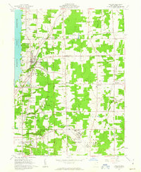
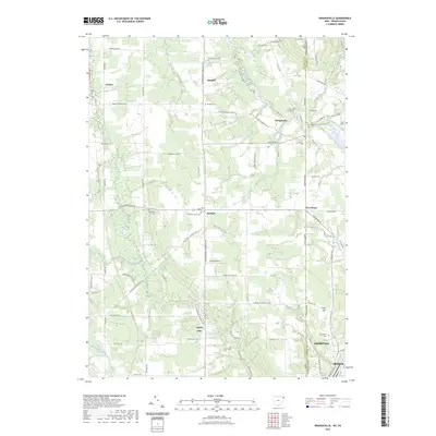
(19)- 1907 Map of Kinsman, 1940 Print
 1907 Kinsman1940 Print · USGSEastern Trumbull County thrived at the start of the century as a vital crossroads of Ohio and Pennsylvania rail lines. Local historians can trace the foundations of Kinsman, Orangeville, and the remote State Line Church during the height of the steam rail era.2 unique versions available
 - 1950 Map of Cleveland
 1950 Cleveland1950 Print · USGSCovers Fowler Township, including Cleveland, Akron, and other nearby areas
 - 1956 Map of Cleveland, 1967 Print
 1956 Cleveland1967 Print · USGSNortheast Ohio and Western Pennsylvania are shown at their industrial height during the mid-fifties, from the steel mills to the lakeshore. Researchers can trace the massive Ravenna Arsenal, the Ohio Turnpike, and vanished rail sidings of the B & O RR.3 unique versions available
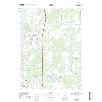
 - 1961 Map of Cortland, 1963 Print
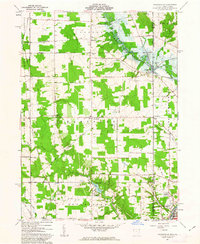
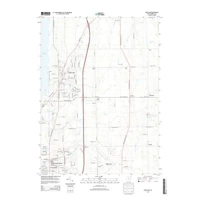
 1961 Cortland1963 Print · USGSTrumbull County is captured here in the early sixties as the suburbs and transportation networks of the post-war era began to expand. Genealogists can trace family names at Hillside Cem and Chadwick Corners or locate the old Nutwood (Fowler Sta) along the rails.3 unique versions available
 - 1961 Map of Orangeville, 1963 Print
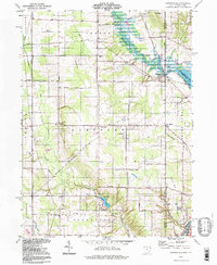
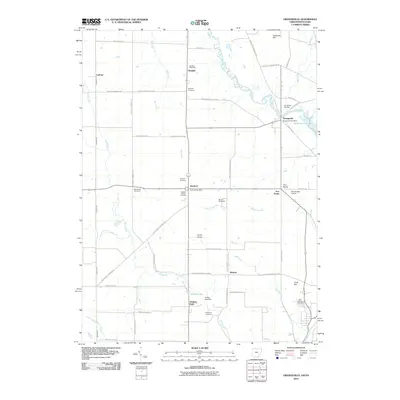
 1961 Orangeville1963 Print · USGSThe Trumbull County borderlands and the village of Orangeville appear here in the early sixties as the Shenango River Reservoir began to reshape the valley. Genealogists and local historians can trace family locations near Artherholt Cem, the Sharon Speedway, and the Erie-Lackawanna rail lines.4 unique versions available
 - 1962 Map of Cleveland
 1962 Cleveland1962 Print · USGSNortheast Ohio and the Pennsylvania borderlands appear here during the industrial peak of the early sixties. Genealogists and historians can trace the expansive rail lines of the Nickel Plate Road and the growth of suburbs from Parma to Lyndhurst.
 - 1986 Map of Youngstown, 1988 Print
 1986 Youngstown1988 Print · USGSThe industrial corridor of the Mahoning Valley and the collegiate towns of Western Pennsylvania are captured here in the mid-eighties. Researchers can trace the rail lines of the Conrail network or locate historical sites like Churchill and Crown Hill Cem.2 unique versions available
 - 1994 Map of Orangeville, 1997 Print
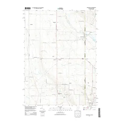
 1994 Orangeville1997 Print · USGSThe Ohio-Pennsylvania state line near Orangeville is captured here in the mid-1990s, showcasing a rural landscape of creek valleys and small settlements. Researchers can trace family sites like St Marys Cemetery and local landmarks like the Sharon Speedway.
 - 1994 Map of Cortland, 1997 Print
 1994 Cortland1997 Print · USGSTrumbull County in the mid-nineties shows a mix of growing residential hubs and traditional Ohio crossroads. Genealogists can trace family landmarks across Sheldon Corners and several historic burial sites, including Casterline Cem and Sheldon Cem.
 - 2010 Map of Cortland, 2010 Print
 2010 Cortland2010 Print · USGSCovers Fowler Township, including Howland Township, Cortland, and other nearby areas
 - 2010 Map of Orangeville, 2010 Print
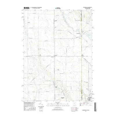
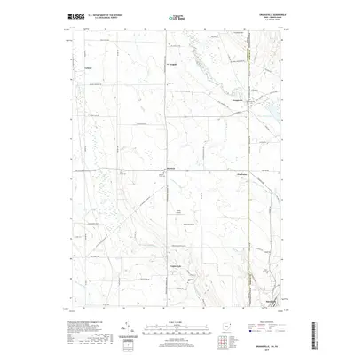
 2010 Orangeville2010 Print · USGSCovers Fowler Township, including Hermitage, Sharon, and other nearby areas
 - 2013 Map of Orangeville, 2013 Print
 2013 Orangeville2013 Print · USGSCovers Fowler Township, including Hermitage, Sharon, and other nearby areas
 - 2013 Map of Cortland, 2013 Print
 2013 Cortland2013 Print · USGSCovers Fowler Township, including Howland Township, Cortland, and other nearby areas
 - 2016 Map of Cortland, 2016 Print
 2016 Cortland2016 Print · USGSCovers Fowler Township, including Howland Township, Cortland, and other nearby areas
 - 2016 Map of Orangeville, 2016 Print
 2016 Orangeville2016 Print · USGSCovers Fowler Township, including Hermitage, Sharon, and other nearby areas
 - 2019 Map of Orangeville, 2019 Print
 2019 Orangeville2019 Print · USGSCovers Fowler Township, including Hermitage, Sharon, and other nearby areas
 - 2019 Map of Cortland, 2019 Print
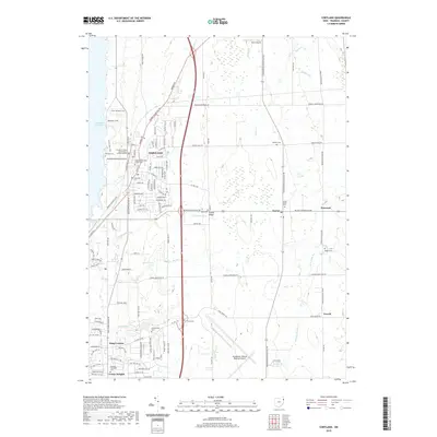 2019 Cortland2019 Print · USGSCovers Fowler Township, including Howland Township, Cortland, and other nearby areas
 - 2023 Map of Orangeville, 2023 Print
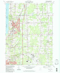
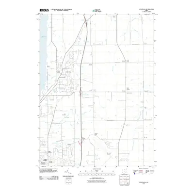
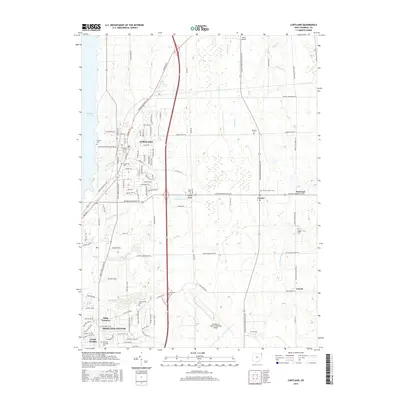
 2023 Orangeville2023 Print · USGSThe Ohio-Pennsylvania state line corridor near Orangeville is captured in this recent survey, showcasing a landscape of rural hamlets and creek valleys. Researchers can trace local lineages through Artherholt Cem or explore the geography around Yankee Lake and Hartford.
 - 2023 Map of Cortland, 2023 Print
 2023 Cortland2023 Print · USGSTrumbull County, Ohio, maintains its mix of classic small-town centers and strategic infrastructure in this contemporary survey. Genealogists can trace local roots at Casterline Cem or Sheldon Cem, while aviation enthusiasts can locate the Youngstown Air Reserve Station.
End of results
Showing maps 1-19 of 19
Top cities near Fowler Township
- Youngstown historical maps
- Warren historical maps
- Austintown historical maps
- Weathersfield Township historical maps
- Howland Township historical maps
- Niles historical maps
See more
Frequently asked questions
- What are the different types of historical maps available for Fowler Township?
- What is the oldest map of Fowler Township?
- Where can I purchase historical maps of Fowler Township for my home or office?
- Where can I download high-res historical maps of Fowler Township?
- Are there historical topographic maps available for Fowler Township?
- Is there historical aerial imagery available for Fowler Township?
- Where are historical maps of Fowler Township sourced from?