Old Maps of Dover, Ohio for Academic Research
Study the evolution of Dover with 33 high-resolution historic maps. Whether you're teaching, researching, or modeling changes in land use, these maps provide essential visual documentation of urban, environmental, and geographic change.
- Analyze long-term change: Track patterns in development, transportation, and natural features.
- Ideal for environmental or urban studies: Support academic projects with primary historical map data.
- Use in the classroom or lab: Educators and researchers rely on these maps to bring historical context to life.
These maps are a powerful tool for teaching, research, and visualizing how Dover has changed over the decades.
Dover, OH maps
(33)- 1909 Map of Uhrichsville, 1956 Print
 1909 Uhrichsville1956 Print · USGSThe industrial valleys of Tuscarawas and Harrison Counties come alive in this early twentieth-century survey. Genealogists can trace family roots at Gnadenhutten, Goshen Beidler PO, and dozens of rural sites like Kennedy Church and Latto School.
 - 1911 Map of Uhrichsville, 1937 Print
 1911 Uhrichsville1937 Print · USGSTuscarawas County's industrial river valleys and canal routes are shown here at their height before the mid-century decline of rail. Researchers can trace the path of the Ohio and Erie Canal and locate family-named landmarks like Beidler P O, Wesley Church, and Gnadenhutten.
 - 1912 Map of Dover, 1939 Print
 1912 Dover1939 Print · USGSTuscarawas and Stark Counties are shown in the early twentieth century as coal and rail corridors shaped the valley floors. Researchers can locate unique landmarks like the Octagonal School, the historic Zoar community, and the path of the Ohio Treaty Line.2 unique versions available
 - 1914 Map of Navarre, 1940 Print
 1914 Navarre1940 Print · USGSNortheast Ohio’s industrial and rural landscape is shown here as the coal and rail era reached its peak. Genealogists can trace family roots through dozens of local schools like Frogpond School and follow the angled path of the historic Military Treaty Line.2 unique versions available
 - 1944 Map of Navarre
 1944 Navarre1944 Print · USGSDuring the mid-1940s, this portion of East Central Ohio was a thriving network of rail-towns and coal mines. Researchers can trace the Treaty Line, locate dozens of rural schoolhouses like Brush College Sch, and see the footprint of Brewster and Sugar Creek.
 - 1944 Map of Dover
 1944 Dover1944 Print · USGSEastern Ohio during the mid-1940s reveals a landscape of river-valley industry and rural schoolhouses. Researchers can trace the rail lines of the Wheeling and Lake Erie or locate community hubs like Octagonal Sch and Zoar Station.
 - 1951 Map of Canton
 1951 Canton1951 Print · USGSThe industrial heartland of Ohio and Pennsylvania reached its mid-century peak during this era of heavy rail and river transit. Genealogists and historians can trace the development of steel towns like Aliquippa and Weirton alongside the Ohio River and major lines of the Pennsylvania RR.
 - 1953 Map of Canton
 1953 Canton1953 Print · USGSThe industrial heartland of Ohio and Pennsylvania is captured at its mid-century peak in this detailed regional survey. Genealogists and historians can trace the vast rail networks of the Pennsylvania RR and find local landmarks like Nimisila Reservoir and Tappan Reservoir.
 - 1957 Map of Canton, 1971 Print
 1957 Canton1971 Print · USGSThe industrial heartland of eastern Ohio and western Pennsylvania comes alive in this mid-century survey of the Ohio River Valley. Trace the heritage of rail and river commerce through Pittsburgh, the massive steel towns along the Ohio River, and major junctions on the Pennsylvania RR.3 unique versions available
 - 1961 Map of Strasburg
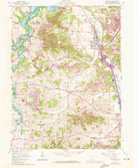 1961 Strasburg1961 Print · USGSTuscarawas County's industrial and rural crossroads are captured here during a period of active coal mining and rail expansion in the early sixties. Genealogists can locate family sites such as Hartline Cem or Bunker Hill Ch, while rail historians can trace the Penn Central and Baltimore and Ohio routes.3 unique versions available
 - 1961 Map of Dover, 1963 Print
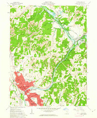 1961 Dover1963 Print · USGSThe Tuscarawas River valley was entering a period of mid-century growth as Dover and New Philadelphia expanded south of the historic Dover Dam. Researchers can trace family sites at Maple Grove Cem, explore the grounds of Camp Tuscazoar, or locate vanished Strip Mines and local schools like Tuscarawas Ave Sch.3 unique versions available
 - 1962 Map of Canton
 1962 Canton1962 Print · USGSThe industrial heartland of Eastern Ohio and Western Pennsylvania thrives in the early sixties as steel mills and rail lines dominate the river valleys. Genealogists and historians can trace local landmarks like McKinley National Memorial, Malone College, and industrial sites such as Republic Steel Corp.2 unique versions available
 - 1962 Map of New Philadelphia, 1963 Print
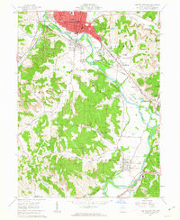 1962 New Philadelphia1963 Print · USGSTuscarawas County's industrial and coal-mining heritage is on display in the early sixties, centered on the river and its bustling valley. Genealogists can trace family roots through Evergreen Burial Park, St Peters Ch, and the historic Schoenbrunn State Memorial.4 unique versions available
 - 1986 Map of Canton
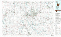 1986 Canton1986 Print · USGSNortheastern Ohio’s industrial corridor and rural heartland are captured here in the mid-1980s as the region's rail and highway networks reached their modern form. Researchers can trace the layout of Canton and Massillon, locate family sites near West Lawn Cemetery, or explore the grounds of Malone College and Walsh College.2 unique versions available
 - 1993 Map of New Philadephia, 1994 Print
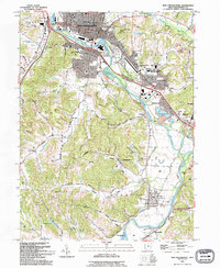 1993 New Philadephia1994 Print · USGSTuscarawas County in the early nineties shows a transition from coal and canal history to a modern educational and retail hub. Trace the Ohio Canal (Abandoned) near Tuscarawas or locate the St Peters Ch and Mud Run Cem.
 - 1994 Map of Dover, 1998 Print
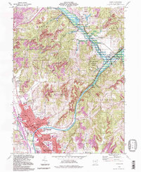 1994 Dover1998 Print · USGSThe Tuscarawas River valley in the late twentieth century shows the continued growth of Dover and New Philadelphia alongside historic water routes. Genealogists and local historians can trace landmarks like Maple Grove Grove Cem, Unity Grange, and the remains of the Abandoned Canal.
 - 1994 Map of Strasburg, 1998 Print
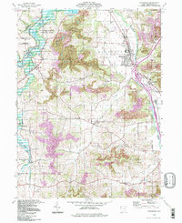 1994 Strasburg1998 Print · USGSTuscarawas County's industrial and rural character is on full display in the 1990s as the W & L E railroad moves through the village of Strasburg. Researchers can trace old family burial grounds like Garber Cem and Dundee Cem alongside the heavy footprint of local Strip Mine operations.
 - 1994 Map of New Philadephia, 1998 Print
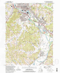 1994 New Philadephia1998 Print · USGSThe Tuscarawas Valley in the mid-nineties shows a landscape where industrial heritage meets academic growth and historic preservation. Genealogists can locate family sites near St Peters Ch, Fair St Cem, and old settlements like Wainwright and Midvale.
 - 2010 Map of Dover, 2010 Print
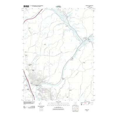 2010 Dover2010 Print · USGSThe Tuscarawas River valley comes alive in this 2010 map of the region between Dover and Zoar. Researchers can trace historic cemeteries and local landmarks like the Tuscarawas County Fairgrounds, Saint Peters Catholic Cemetery, and the Towpath Trail.
 - 2010 Map of New Philadelphia, 2010 Print
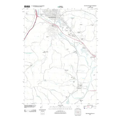 2010 New Philadelphia2010 Print · USGSTuscarawas County comes into focus in the early 21st century, centered on the river valley and the historic Moravian sites at Schoenbrunn. Researchers can trace old family names and lineages through dozens of sites like the Old Town Cemetery, Harry Clever Field, and the Ohio Canal.
 - 2010 Map of Strasburg, 2010 Print
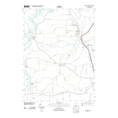 2010 Strasburg2010 Print · USGSTuscarawas County settlements like Strasburg and Dundee are shown in detail during the early twenty-first century. Genealogists can locate several family landmarks and burial sites, including Gorsuch Cemetery, Union Hill Cemetery, and the Dundee Post Office.
 - 2013 Map of Strasburg, 2013 Print
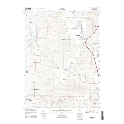 2013 Strasburg2013 Print · USGSTuscarawas County settlements and rural cemeteries are documented here in the early twenty-first century. Researchers can locate family landmarks like Saint Aloysius Cem or trace the development of Strasburg and Sugarcreek.
 - 2013 Map of Dover, 2013 Print
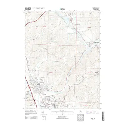 2013 Dover2013 Print · USGSTuscarawas County at the start of the 2010s shows the continued growth of the twin cities and the preservation of historic riverside villages. Genealogists and local historians can trace family roots from Dover up to the communal village of Zoar and the rural Bissel Church.
 - 2013 Map of New Philadelphia, 2013 Print
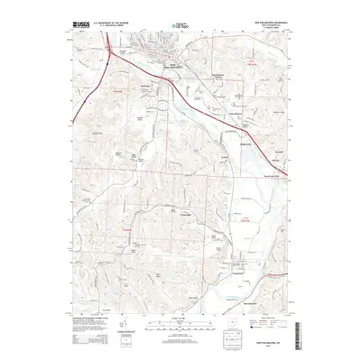 2013 New Philadelphia2013 Print · USGSNew Philadelphia and the surrounding river valley are captured here in the early twenty-first century as modern development meets historic roots. Researchers can trace family history through numerous local sites like Sharon Moravian Cem, Wainwright, and the historic Ohio Canal.
 - 2016 Map of New Philadelphia, 2016 Print
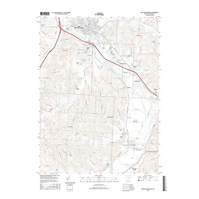 2016 New Philadelphia2016 Print · USGSNew Philadelphia and the Tuscarawas River valley are shown here in the mid-2010s, documenting a landscape shaped by river commerce and valley settlements. Researchers can locate numerous family burial grounds like Sharon Moravian Cem and landmarks such as Harry Clever Field.
Showing maps 1-25 of 33
Top cities near Dover
- Canton historical maps
- Massillon historical maps
- New Philadelphia historical maps
- Uhrichsville historical maps
- Goshen historical maps
- Richville historical maps
See more
Top neighborhoods of Dover
Frequently asked questions
- What are the different types of historical maps available for Dover?
- What is the oldest map of Dover?
- Where can I purchase historical maps of Dover for my home or office?
- Where can I download high-res historical maps of Dover?
- Are there historical topographic maps available for Dover?
- Is there historical aerial imagery available for Dover?
- Where are historical maps of Dover sourced from?