Old Maps of Washington Township, Ohio for Metal Detecting
Plan your next treasure hunt with 39 historic maps of Washington Township. Find old homesites, ghost towns, trails, and gathering spots that may be lost to time — perfect for identifying promising metal detecting locations.
- Locate forgotten sites: Uncover places like long-lost settlements, abandoned rail lines, or gathering spots.
- Plan better hunts: Use map overlays combined with LiDAR or satellite views to narrow in on historically rich areas.
- Made for detectorists: Thousands of hobbyists use these maps to discover relics, coins, and hidden history.
Use these historic maps to boost your research and find new opportunities beneath the surface of Washington Township.
Washington Township, OH maps
(39)- 1913 Map of East Liberty, 1961 Print
 1913 East Liberty1961 Print · USGSLogan and Union counties are shown here just before the First World War, when a dense network of country schools and steam railroads bound the countryside together. Genealogists can trace family footprints at Marl City, Indian Mound School, or the Greenville Treaty Line.
 - 1913 Map of Richwood, 1962 Print
 1913 Richwood1962 Print · USGSUnion County during the pre-war era was a thriving network of rural schools and rail junctions centered around Richwood. Genealogists and historians can trace the exact locations of dozens of district schoolhouses like Deadwood School and vanished stations along the Erie Railroad.
 - 1915 Map of Richwood, 1936 Print
 1915 Richwood1936 Print · USGSUnion County farming communities are caught in detail just before the Great War, showing a landscape defined by small-town rail commerce and rural schools. Genealogists can trace family connections through dozens of named sites like Magnetic Springs, the County Infirmary, and Grace Temple School.
 - 1915 Map of East Liberty, 1941 Print
 1915 East Liberty1941 Print · USGSLogan County at the start of the twentieth century shows a landscape of established rail hubs and numerous rural school districts. Genealogists can trace family roots through landmarks like Zanesfield, Bethany School, and the historic Greenville Treaty Line.
 - 1915 Map of Kenton, 1942 Print
 1915 Kenton1942 Print · USGSHardin County at the dawn of the motorized age shows a landscape deeply connected by competing rail lines and rural school districts. Genealogists and historians can trace family roots at dozens of named schoolhouses like Henpeck and Brush College, or locate vanished stops along the Toledo and Ohio Central Railroad.
 - 1915 Map of La Rue, 1944 Print
 1915 La Rue1944 Print · USGSRailroad hubs and rural school districts define the landscape of Marion and Wyandot Counties in the years before the Great War. Genealogists can trace family roots through numerous local landmarks like York Street School, the village of La Rue, and the Scioto Military Land.
 - 1944 Map of East Liberty
 1944 East Liberty1944 Print · USGSThe rail-and-river network of Logan County is at its peak in the 1940s, connecting small farming towns across the Central Ohio landscape. Local researchers can trace family landmarks like Bethany Sch, the Treaty Line, and the high peak at Campbell Hill.
 - 1944 Map of Kenton
 1944 Kenton1944 Print · USGSHardin County was a thriving agricultural and railroad hub in the 1940s, centered on the busy junction at Kenton. Researchers can locate dozens of country schools like Brush College and trace the legacy of the Virginia Military Land near Silver Creek.
 - 1944 Map of Richwood
 1944 Richwood1944 Print · USGSMid-century Union County is captured here at the height of the rural rail-and-road era. Genealogists and historians can trace family roots through an exceptional density of country schools like Deadwood Sch and Sunnyside Sch, or locate vanished homesteads near Arbela and Claiborne.
 - 1950 Map of Marion
 1950 Marion1950 Print · USGSCentral Ohio was a powerhouse of rail and river industry at the mid-century point, serving as a vital corridor between the Great Lakes and the Ohio River valley. Genealogists and rail historians can trace the paths of the Erie RR and Nickel Plate Road through towns like Bucyrus, Galion, and Upper Sandusky.
 - 1961 Map of Mt Victory, 1962 Print
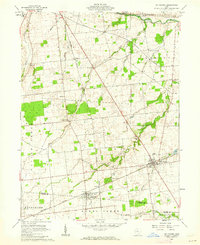 1961 Mt Victory1962 Print · USGSNorthern Ohio agriculture and rail life converge in the early sixties near the Hardin and Logan county line. Genealogists can trace family names and local landmarks like Ridgeway Cem, the Amish Sch, and the New York Central rail line.2 unique versions available
 - 1961 Map of La Rue, 1962 Print
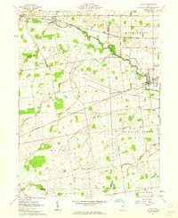 1961 La Rue1962 Print · USGSIn the early 1960s, this pocket of Marion and Hardin counties was a crossroads of the Erie-Lackawanna and New York Central railroads. Genealogists can locate numerous family burial grounds including Bonner Cem and Virden Cem, or trace the path of the Scioto River through La Rue.2 unique versions available
 - 1961 Map of York Center, 1963 Print
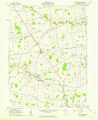 1961 York Center1963 Print · USGSUnion County's rural landscape is captured in the early sixties, showing the agricultural heart of the Virginia Military District. Trace local history through the Greenville Treaty Line or explore old sites like Grace Chapel, Camp Union, and Byhalia Cem.2 unique versions available
 - 1961 Map of West Mansfield, 1963 Print
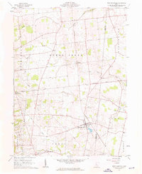 1961 West Mansfield1963 Print · USGSWest Mansfield and the surrounding rural townships of Logan and Union counties are shown here in the early 1960s. Researchers can trace the legacy of early settlers through numerous landmarks like Quaker Cem, the diagonal Treaty Line, and the New York Central rail corridor.3 unique versions available
 - 1962 Map of Marion
 1962 Marion1962 Print · USGSCentral Ohio during the post-war era showcases a dense network of railroad towns and emerging interstate highways. Genealogists can trace family roots in smaller settlements like Houcktown and Marseilles or locate landmarks near Indian Lake.
 - 1966 Map of Marion, 1968 Print
 1966 Marion1968 Print · USGSCentral Ohio in the mid-sixties is captured during a period of rapid highway expansion and industrial connectivity. Genealogists and historians can trace rail-and-river networks through towns like Marion, Urbana, and Mount Vernon, or locate landmarks such as Malabar Farm and Black Hand Rock.3 unique versions available
 - 1986 Map of Bellefontaine
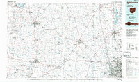 1986 Bellefontaine1986 Print · USGSWest Central Ohio in the mid-1980s reveals a landscape of growing metropolitan fringes and established rural centers. Researchers can trace historic cemeteries and civic institutions from Oak Grove Cem to the State Reformatory For Women and Cedar Bog State Nature Preserve.
 - 1986 Map of Marion
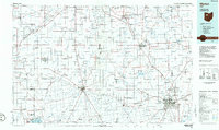 1986 Marion1986 Print · USGSNorthwest Ohio's agricultural and rail heartland is captured here in the mid-1980s, centered on the expansion of Marion and Kenton. Genealogists can trace family footprints near Bluffton College, old rail stops like Dola, and landmarks such as Indian Lake State Park.2 unique versions available
 - 1992 Map of Bellefontaine
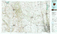 1992 Bellefontaine1992 Print · USGSWest-central Ohio in the early nineties reveals a blend of high-plateau geography and growing suburban corridors near the state capital. Genealogists can trace family connections to landmarks like Mount Tabor Church, Oak Grove Cemetery, and the high ground of Campbell Hill.
 - 2010 Map of York Center, 2010 Print
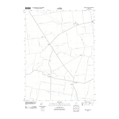 2010 York Center2010 Print · USGSUnion County's agricultural heartland is captured here in the early twenty-first century, showcasing a landscape of established family farms and rural hamlets. Genealogists can locate several historic burial grounds like York Center Cemetery and Sommersville Cemetery near Camp Union.
 - 2010 Map of West Mansfield, 2010 Print
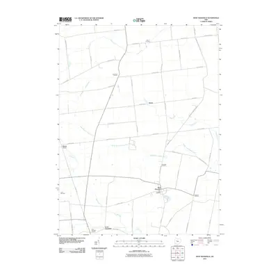 2010 West Mansfield2010 Print · USGSWest Mansfield and its surrounding townships are shown here in the first decade of the 2000s, captured as a settled landscape of farms and small villages. Genealogists can trace family locations through several burial grounds like Good Hope Cemetery and Southard Cemetery or the rural community at North Greenfield.
 - 2010 Map of La Rue, 2010 Print
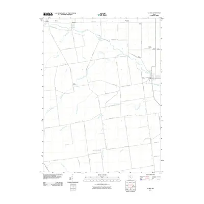 2010 La Rue2010 Print · USGSMarion County's rural townships are documented here during the early twenty-first century, showing the enduring agricultural layout of the Scioto Valley. Genealogists can trace family roots through numerous burial grounds like Vesey Cemetery and Mount Pleasant Cemetery or locate the village of La Rue.
 - 2010 Map of Mount Victory, 2010 Print
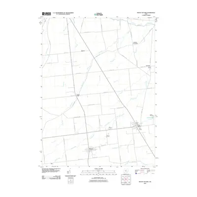 2010 Mount Victory2010 Print · USGSHardin County agriculture and small-town life are captured here in the first decade of the 2000s. Genealogists can trace local history through Mount Victory Cemetery and Ridgeway, while finding landmarks like Grassy Point.
 - 2013 Map of West Mansfield, 2013 Print
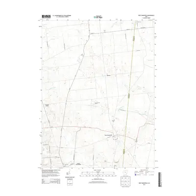 2013 West Mansfield2013 Print · USGSLogan County and Union County farmland is mapped here in detail during the early 2010s. Genealogists and historians can trace numerous family burial sites such as Hathaway Cem and Southard Cem, alongside settlements like North Greenfield.
 - 2013 Map of Mount Victory, 2013 Print
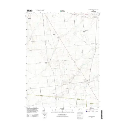 2013 Mount Victory2013 Print · USGSHardin and Logan counties are shown here in the early 2010s, capturing a landscape of established farmsteads and rural crossroads. Researchers can locate family landmarks like McKinley Farms and Elsasser Farm, or trace local roots at Mt Victory Cem and Ridgeway Cem.
Showing maps 1-25 of 39
Top cities near Washington Township
- Marysville historical maps
- Kenton historical maps
- Richwood historical maps
- La Rue historical maps
- West Mansfield historical maps
- Mount Victory historical maps
See more
Top neighborhoods of Washington Township
Frequently asked questions
- What are the different types of historical maps available for Washington Township?
- What is the oldest map of Washington Township?
- Where can I purchase historical maps of Washington Township for my home or office?
- Where can I download high-res historical maps of Washington Township?
- Are there historical topographic maps available for Washington Township?
- Is there historical aerial imagery available for Washington Township?
- Where are historical maps of Washington Township sourced from?