Old Maps of Radcliff, Ohio for Academic Research
Study the evolution of Radcliff with 13 high-resolution historic maps. Whether you're teaching, researching, or modeling changes in land use, these maps provide essential visual documentation of urban, environmental, and geographic change.
- Analyze long-term change: Track patterns in development, transportation, and natural features.
- Ideal for environmental or urban studies: Support academic projects with primary historical map data.
- Use in the classroom or lab: Educators and researchers rely on these maps to bring historical context to life.
These maps are a powerful tool for teaching, research, and visualizing how Radcliff has changed over the decades.
Radcliff, OH maps
(13)- 1905 Map of Wilkesville, 1958 Print
 1905 Wilkesville1958 Print · USGSVinton County and its neighbors at the height of the early industrial era show a landscape shaped by charcoal furnaces and narrow-gauge rail interests. Genealogists can trace family footprints across dozens of local school districts like Auburn School or within established centers like Wilkesville and Minerton.
 - 1908 Map of Wilkesville, 1943 Print
 1908 Wilkesville1943 Print · USGSThe Vinton County hills are seen here during a peak era of iron furnaces and rail expansion before the Great War. Genealogists and researchers can trace dozens of family-named landmarks and institutions, from the Vinton Furnace site to Boring Church and the Haggerty School.
 - 1947 Map of Columbus, 1948 Print
 1947 Columbus1948 Print · USGSCentral Ohio in the late 1940s is captured in this survey, showing the post-war transition of its rail hubs and military airfield expansions. Genealogists and historians can trace the paths of the Ohio Canal, the Pennsylvania RR lines, and the Camp Sherman Military Reservation.
 - 1961 Map of Columbus
 1961 Columbus1961 Print · USGSCentral and Southern Ohio are captured here in the early sixties, as the region's industrial rail hubs and military bases reached their peak. Genealogists and historians can trace the transition from urban Columbus to rural townships along the Scioto River, locating Lockbourne USAF and old junctions like Washington Court House.
 - 1961 Map of Mc Arthur
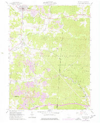 1961 Mc Arthur1961 Print · USGSCentral Vinton County during the early 1960s was a landscape defined by the intersection of industrial mining and deep state forests. You can trace early settlements and cemeteries like Dundas, Radcliff, and Hixon Cem along the busy Baltimore and Ohio rail lines.5 unique versions available
 - 1962 Map of Columbus
 1962 Columbus1962 Print · USGSCentral Ohio during the early sixties reveals a transition from the industrial corridors of Columbus to the forested ridges of the south. Genealogists and historians can trace the rail networks of the Baltimore & Ohio RR and find local landmarks like Washington Court House and Camp Sherman Military Reservation.
 - 1967 Map of Columbus, 1969 Print
 1967 Columbus1969 Print · USGSCentral Ohio during the late sixties serves as a vital corridor of rail and aviation, from the industrial streets of Springfield to the hangar lines of Lockbourne Air Force Base. Genealogists and researchers can trace the growth of towns like Circleville and London or locate rural landmarks such as St Paul church and the London Correctional Institution.2 unique versions available
 - 1980 Map of Wellston, 1982 Print
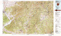 1980 Wellston1982 Print · USGSThe hill country of south-central Ohio in the early eighties shows a landscape of expansive state forests and deep-rooted river towns. Genealogists and historians can trace rural heritage through sites like Buckeye Furnace State Memorial and Mount Zion Cemetery.
 - 2010 Map of McArthur, 2010 Print
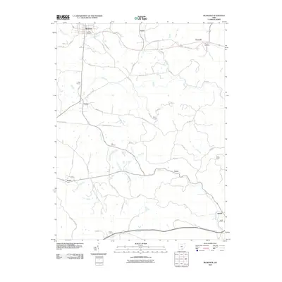 2010 McArthur2010 Print · USGSVinton County as it appeared in the early twenty-first century shows a landscape of deep hollows and scattered rural settlements. Researchers can trace family history through numerous burial sites like Old McArthur Cemetery, Beard Cemetery, and Radcliff Cemetery, or locate the Oreton Lookout Tower above Oreton.
 - 2013 Map of McArthur, 2013 Print
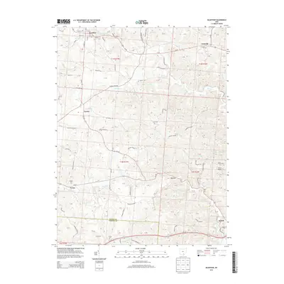 2013 McArthur2013 Print · USGSVinton County, Ohio, is captured here in the early 21st century, centered on the village of McArthur and its surrounding hill country. Genealogists can locate several remote burial sites like Old McArthur Cem and Beard Cem, or trace the old routes through Dundas and Oreton.
 - 2016 Map of McArthur, 2016 Print
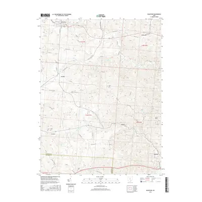 2016 McArthur2016 Print · USGSVinton County's rural townships and small rail-era settlements are captured here in the mid-2010s. Researchers can locate numerous family burial grounds and vanished local hubs like Oreton, Dundas, and the Old McArthur Cem.
 - 2019 Map of McArthur, 2019 Print
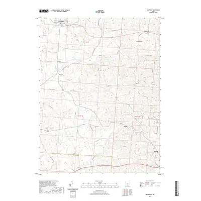 2019 McArthur2019 Print · USGSVinton County at the close of the 2010s reveals a landscape where the county seat of McArthur anchors a region of scattered rural settlements and deep hollows. Researchers can trace ancestral sites at Zion Cem and Hixon Cem, or explore the terrain surrounding Dundas and Oreton.
 - 2023 Map of McArthur, 2023 Print
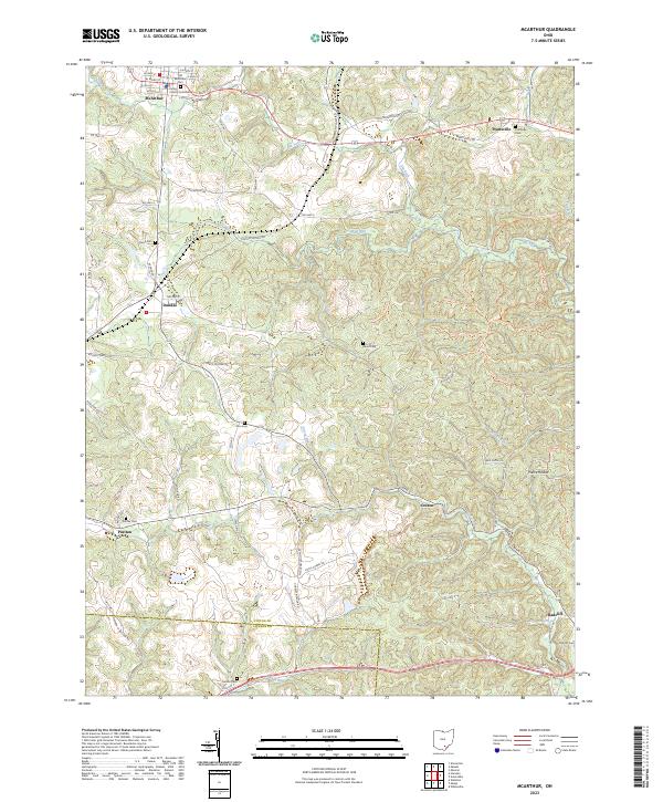 2023 McArthur2023 Print · USGSMcArthur and the rural stretches of Vinton County are documented here in recent detail. Researchers can locate family landmarks like Radcliff Cem, the old settlement at Oreton, and industrial remnants along the Vinton Furnace Side Trl.
End of results
Showing maps 1-13 of 13
Top cities near Radcliff
- Jackson historical maps
- Wellston historical maps
- McArthur historical maps
- Richland historical maps
- Hamden historical maps
- Albany historical maps
See more
Frequently asked questions
- What are the different types of historical maps available for Radcliff?
- What is the oldest map of Radcliff?
- Where can I purchase historical maps of Radcliff for my home or office?
- Where can I download high-res historical maps of Radcliff?
- Are there historical topographic maps available for Radcliff?
- Is there historical aerial imagery available for Radcliff?
- Where are historical maps of Radcliff sourced from?