Old Maps of Middleboro, Ohio
Explore 12 old maps of Middleboro, spanning from 1914 to today. These high-resolution historic maps reveal how streets, neighborhoods, landmarks, and natural features evolved over time — perfect for genealogy, metal detecting, research, and local history exploration.
What you can do with these maps:
- See how Middleboro changed over time: Compare historical maps to modern-day views to trace roads, homesites, rail lines & more.
- View detailed metadata: Each map includes creators, publishers, year, scale, and archive source.
- Overlay maps with satellite & LiDAR: Visualize the past alongside modern tools to explore terrain & human change.
- Trusted historical sources: Maps sourced from the USGS, Library of Congress, and other archives.
- Access maps your way: View online, download high-res files, or order prints for personal or research use.
Start exploring old maps of Middleboro to uncover forgotten places, hidden landmarks, and the deep history beneath your feet.
Middleboro, OH maps
(12)- 1914 Map of Morrow, 1963 Print
 1914 Morrow1963 Print · USGSWarren County in the years before the Great War is a landscape of thriving river towns and busy rail junctions. Genealogists and historians can trace family locations through numerous rural schoolhouses like Chestnut Ridge School or landmarks like Fort Ancient and Stubbs Mill.
 - 1916 Map of Morrow, 1936 Print
 1916 Morrow1936 Print · USGSWarren County at the start of the Great War is a landscape of thriving river towns and dense rural school districts. Genealogists can locate family-named schools and early settlements like Harveysburg, Maineville, and the landmark Fort Ancient.2 unique versions available
 - 1953 Map of Cincinnati, 1965 Print
 1953 Cincinnati1965 Print · USGSThe Ohio River valley and the industrial heartland of Indiana and Ohio are captured here during the mid-century peak of rail and river commerce. Genealogists and historians can trace connections between Cincinnati and outlying military sites like Camp Atterbury and Bakalar AFB.3 unique versions available
 - 1955 Map of Pleasant Plain, 1956 Print
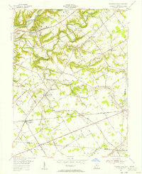 1955 Pleasant Plain1956 Print · USGSWarren and Clermont counties are shown in the mid-fifties as a landscape of rural hamlets and winding river forks. Family historians can trace numerous rural sites like Ruhyan Cem, Leather Ear Ch, and the Baltimore and Ohio RR corridor.2 unique versions available
 - 1957 Map of Cincinnati
 1957 Cincinnati1957 Print · USGSThe Ohio River valley and its surrounding highlands thrived during the mid-fifties industrial peak, centered on the bustling Cincinnati and Dayton metropolitan hubs. Researchers can trace the extensive rail networks and military sites like Wright-Patterson AFB and Camp Atterbury.
 - 1968 Map of Pleasant Plain, 1970 Print
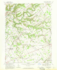 1968 Pleasant Plain1970 Print · USGSWarren County at the end of the sixties reveals a landscape of established rail lines and winding river valleys. Genealogists and local historians can trace family ties through numerous rural burial sites like West Mary Cemetery and Spurling Cemetery or locate the historic Harlan Butlerville School.
 - 1986 Map of Cincinnati
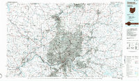 1986 Cincinnati1986 Print · USGSGreater Cincinnati and its tri-state surrounds are captured here in the mid-eighties as suburban growth reached into the neighboring hills and river valleys. Researchers can trace the development of transit hubs like Greater Cincinnati International Airport and historic sites such as Spring Grove Cemetery.3 unique versions available
 - 2010 Map of Pleasant Plain, 2010 Print
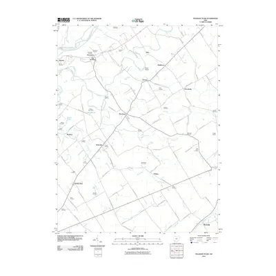 2010 Pleasant Plain2010 Print · USGSClinton County and its neighboring townships come alive in the early twenty-first century, showing a landscape of small crossroads settlements and family farms. Genealogists can locate numerous burial sites like Old Quaker Cemetery and Stiles Cemetery, while tracing old routes through Butlerville and Edwardsville.
 - 2013 Map of Pleasant Plain, 2013 Print
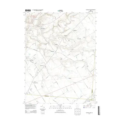 2013 Pleasant Plain2013 Print · USGSWarren and Clinton counties in the early twenty-first century show a landscape of rural crossroads and historic family plots. Genealogists and local historians can trace legacy sites like Old Quaker Cem, Sande Village, and the quiet waters of Harper Pond.
 - 2016 Map of Pleasant Plain, 2016 Print
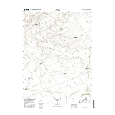 2016 Pleasant Plain2016 Print · USGSSouthwestern Ohio at the crossroads of three counties reveals a landscape of small farming villages and deep family roots. Researchers can locate numerous pioneer burial grounds like Old Quaker Cem and New Hope Cem while tracing the winding path of Todd Fork.
 - 2019 Map of Pleasant Plain, 2019 Print
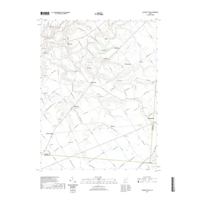 2019 Pleasant Plain2019 Print · USGSThe rural borders of Warren and Clinton counties are documented here in recent years, showing a landscape of deep creek valleys and scattered hamlets. Genealogists can trace dozens of small family and community burial grounds, from the Old Quaker Cem to Wesley Cem and Runyan Cem.
 - 2023 Map of Pleasant Plain, 2023 Print
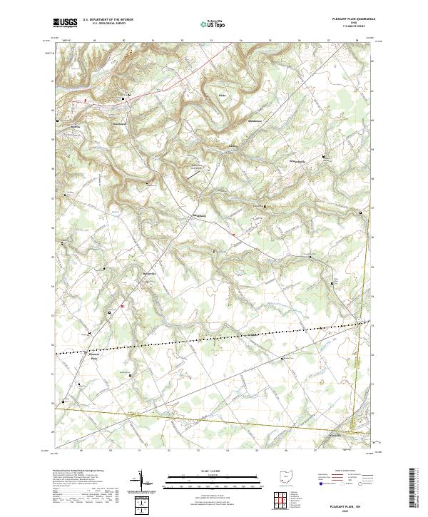 2023 Pleasant Plain2023 Print · USGSWarren County’s agrarian landscape is captured here in the early twenty-first century, spanning from the Little Miami River to the Clermont Co border. Genealogists can locate numerous rural burial sites including Runyan Cem, New Hope Cem, and Keller Cem.
End of results
Showing maps 1-12 of 12
Top cities near Middleboro
- Mason historical maps
- Lebanon historical maps
- Springboro historical maps
- Loveland historical maps
- Wilmington historical maps
- Franklin historical maps
See more
Frequently asked questions
- What are the different types of historical maps available for Middleboro?
- What is the oldest map of Middleboro?
- Where can I purchase historical maps of Middleboro for my home or office?
- Where can I download high-res historical maps of Middleboro?
- Are there historical topographic maps available for Middleboro?
- Is there historical aerial imagery available for Middleboro?
- Where are historical maps of Middleboro sourced from?